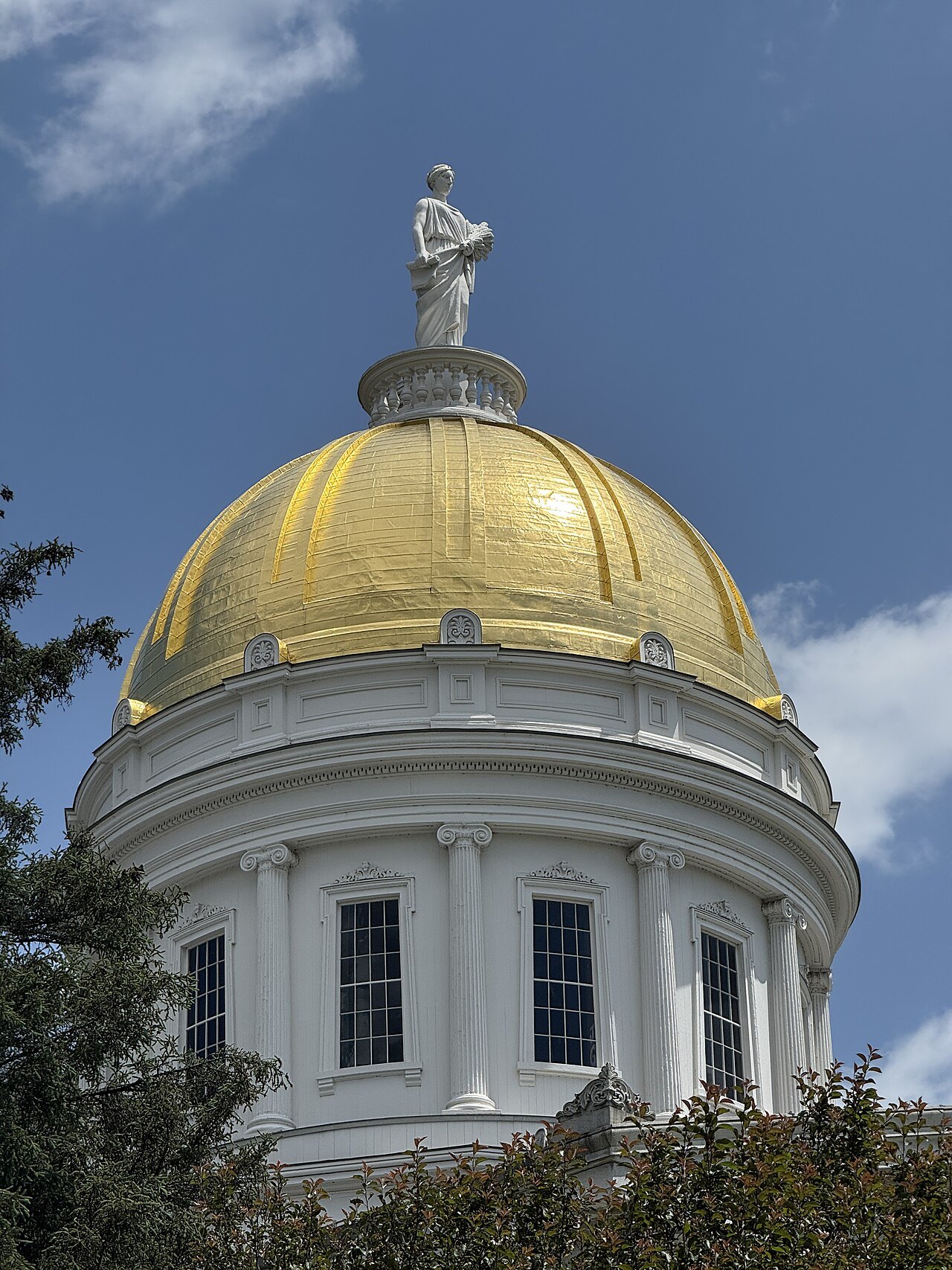
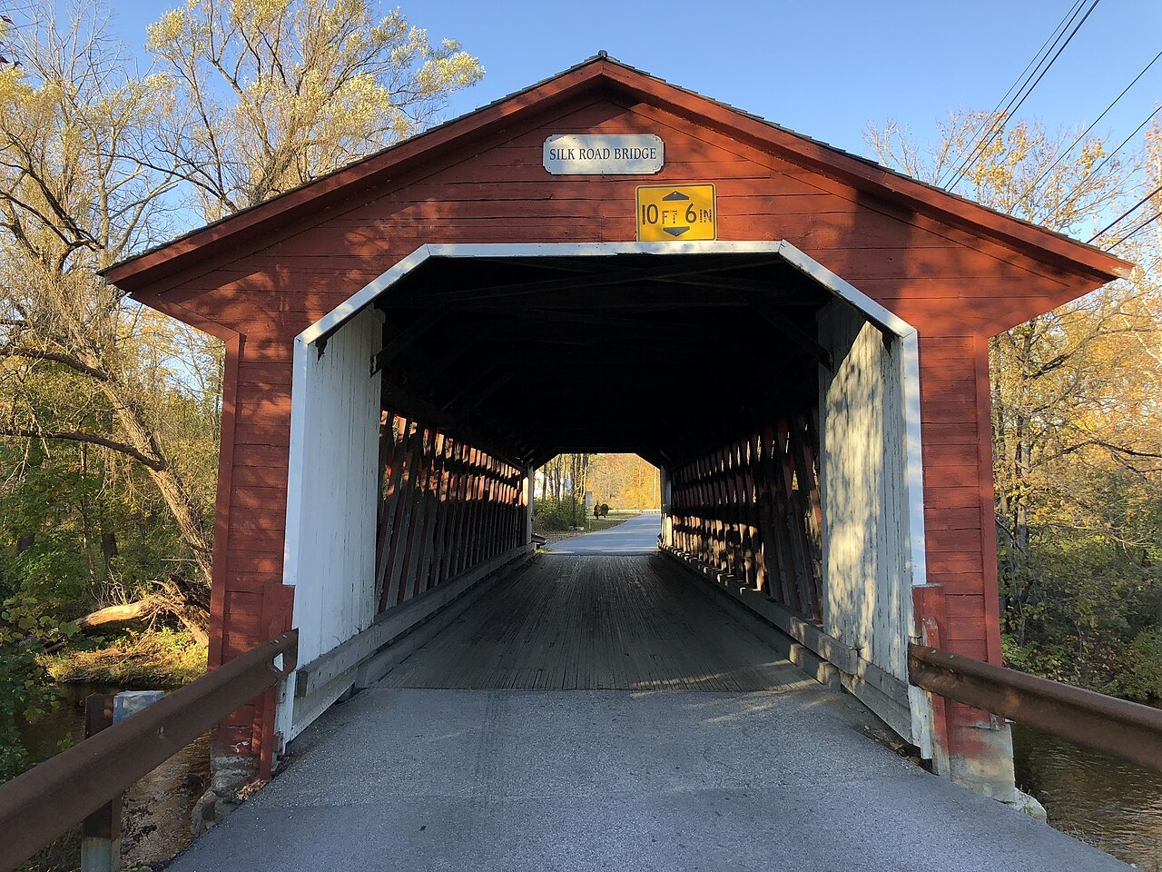
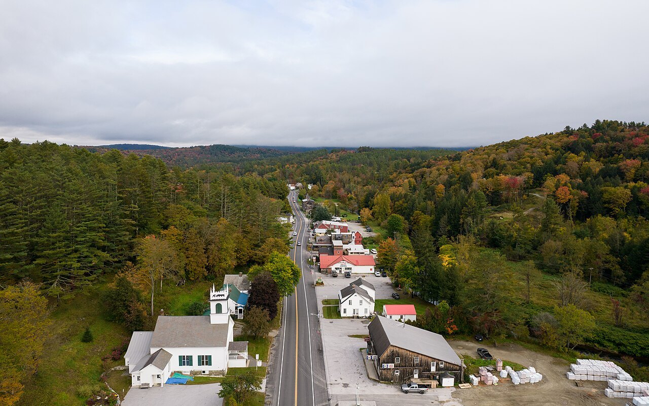
Where everything stands
the parts of the state, and the roads between themVermont is a small state arranged around one idea: the Green Mountains run north to south up the middle, with Lake Champlain and the valleys of the west on one side and the Connecticut River valley on the other. The landmarks in this guide are grouped in five parts by that geography, and the eight towns are where most visitors sleep. The state is the second-least populated in the country, and it feels it.
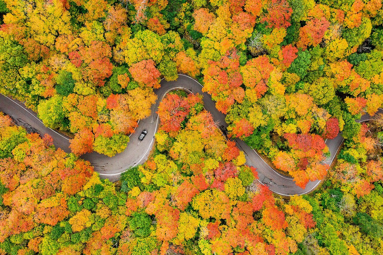
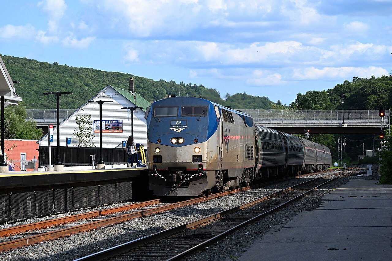
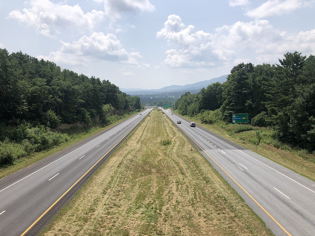
The one big airport and the two Amtrak trains are in the getting-here guide; after that, it is a driving state. Route 100 runs about 217 miles down the middle of it, and the scenic drives are mostly that road, the notch road past Mount Mansfield, and the back roads that cross the covered bridges.
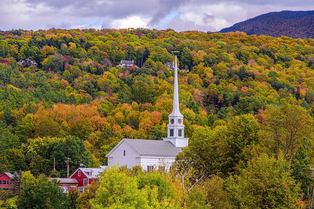
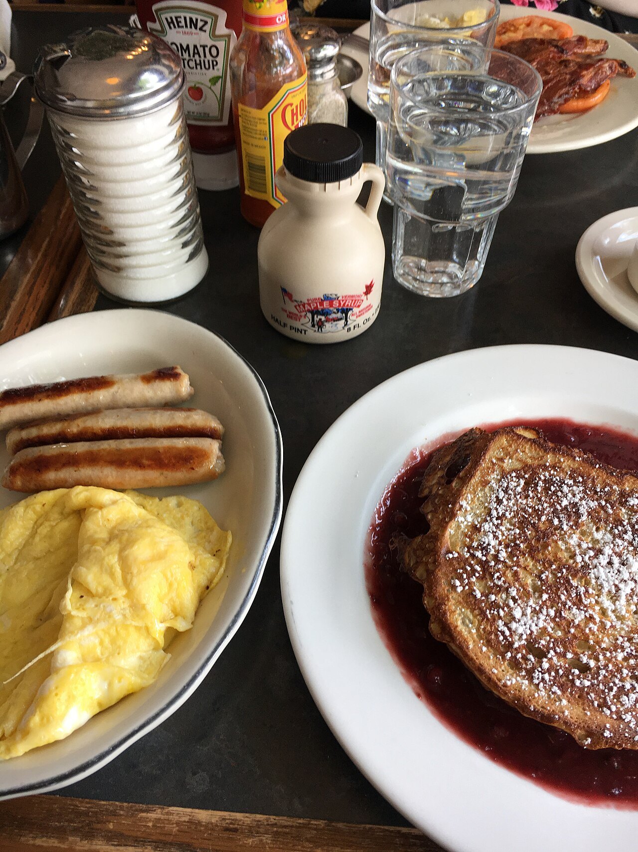
The calendar sets the trip: foliage in autumn, ski season on the mountains along Route 100, and the sugaring that makes Vermont the largest US producer of maple syrup. Base yourself by part of the state (where to stay), eat by part too (eating and drinking), and use the road trips to join them up.
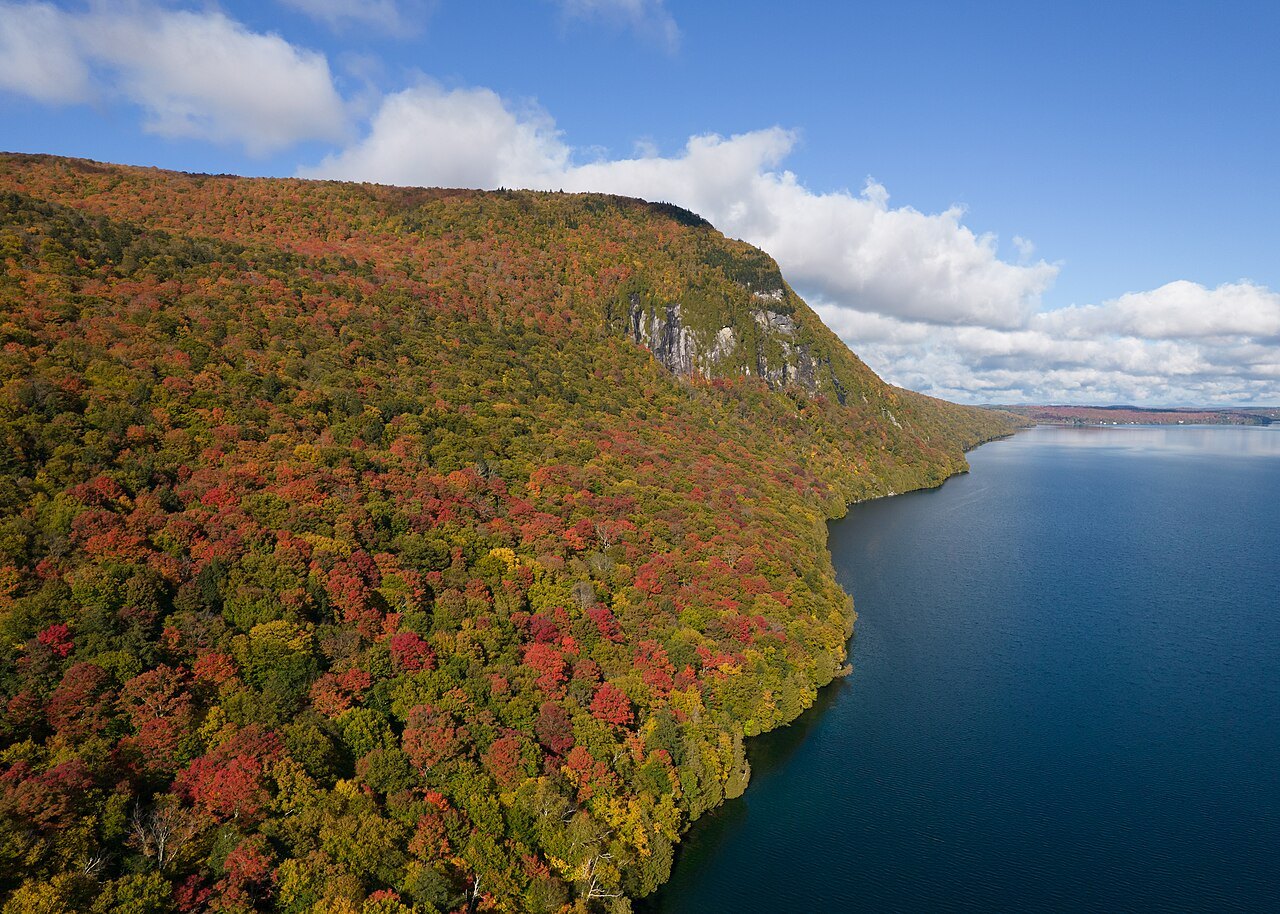
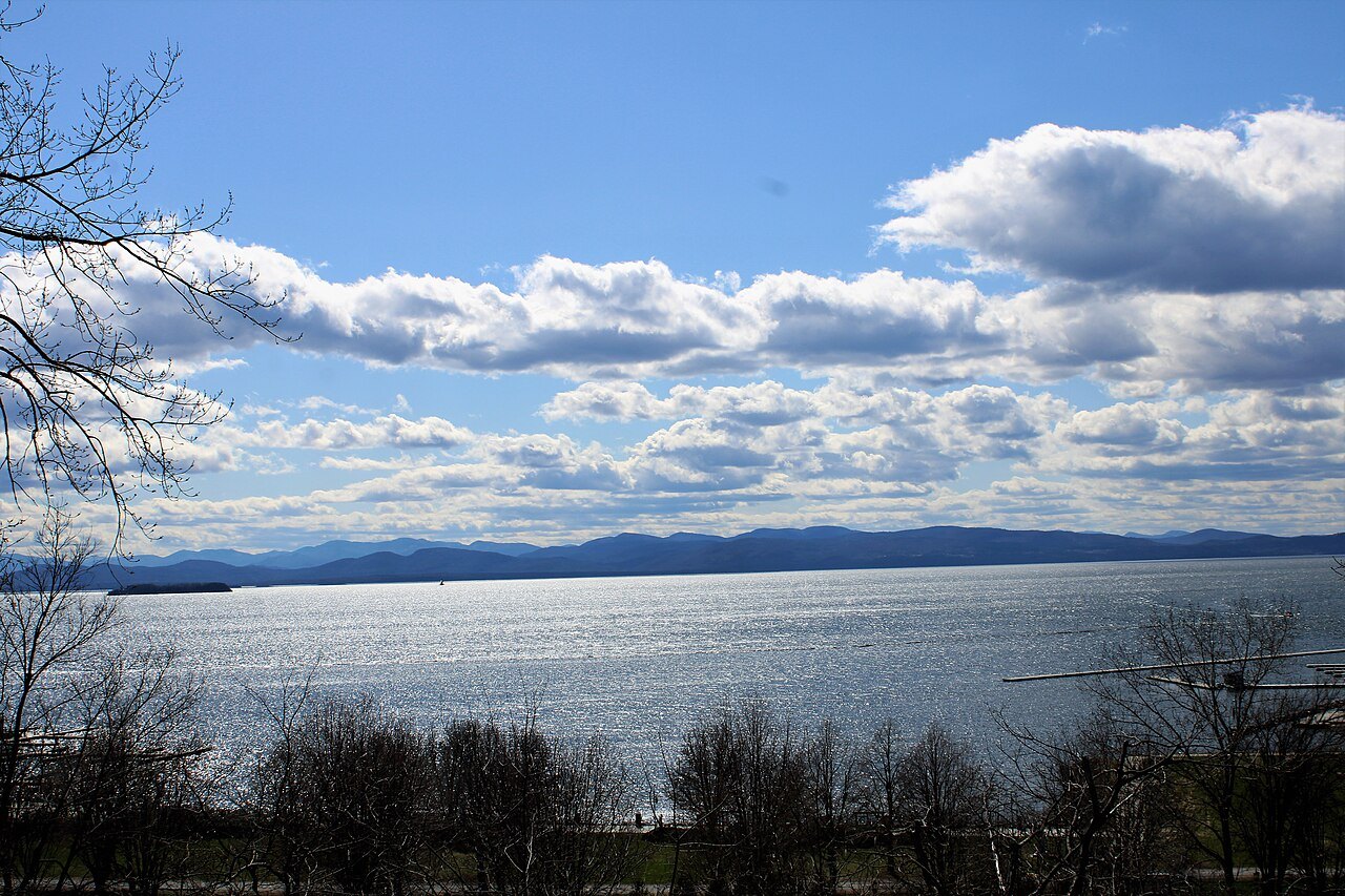
The Champlain Valley
The Green Mountains
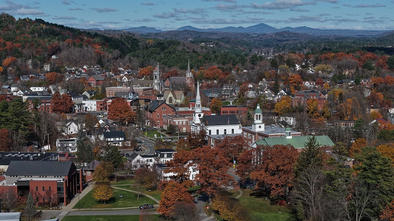
The Valleys and Villages
Southern Vermont
The Northeast Kingdom
A drive down the spine of the state
Vermont Route 100, from the Massachusetts line to the Canadian border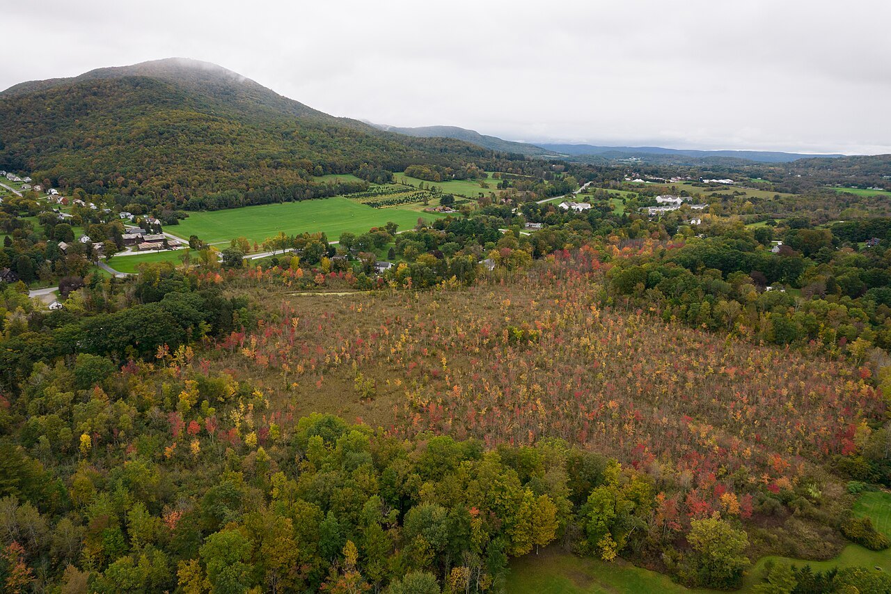
Stamford, where Route 100 begins
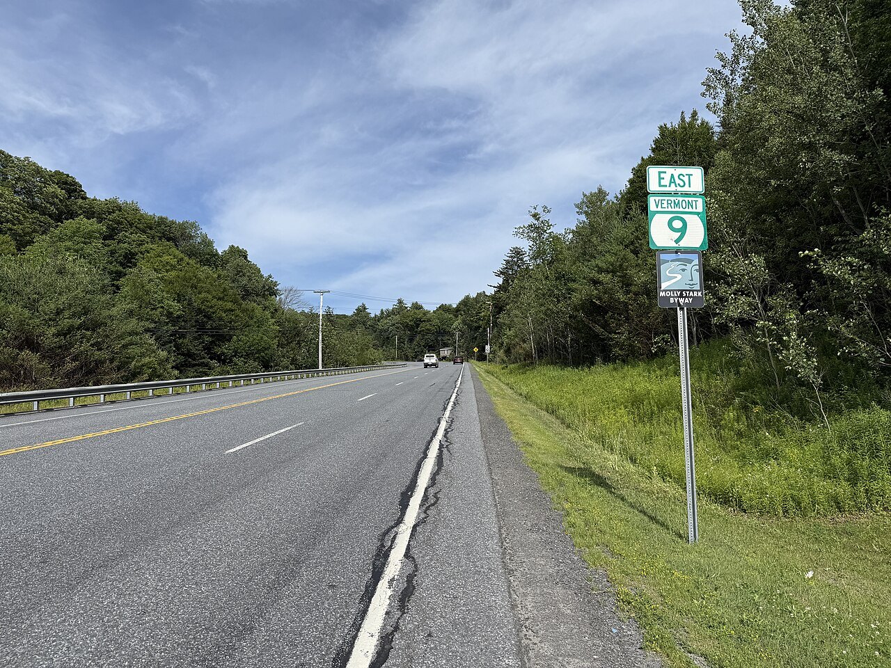
Massachusetts lineRoute 100 starts at the Massachusetts state line in Stamford, where it continues south as Route 8, and runs north through the middle of Vermont. At about 217 miles it is the state's longest numbered highway, and it passes along the eastern edge of the Green Mountain National Forest for much of its length.
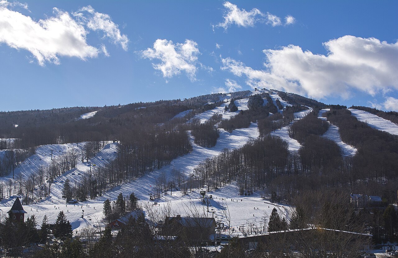
Wilmington and the southern ski towns
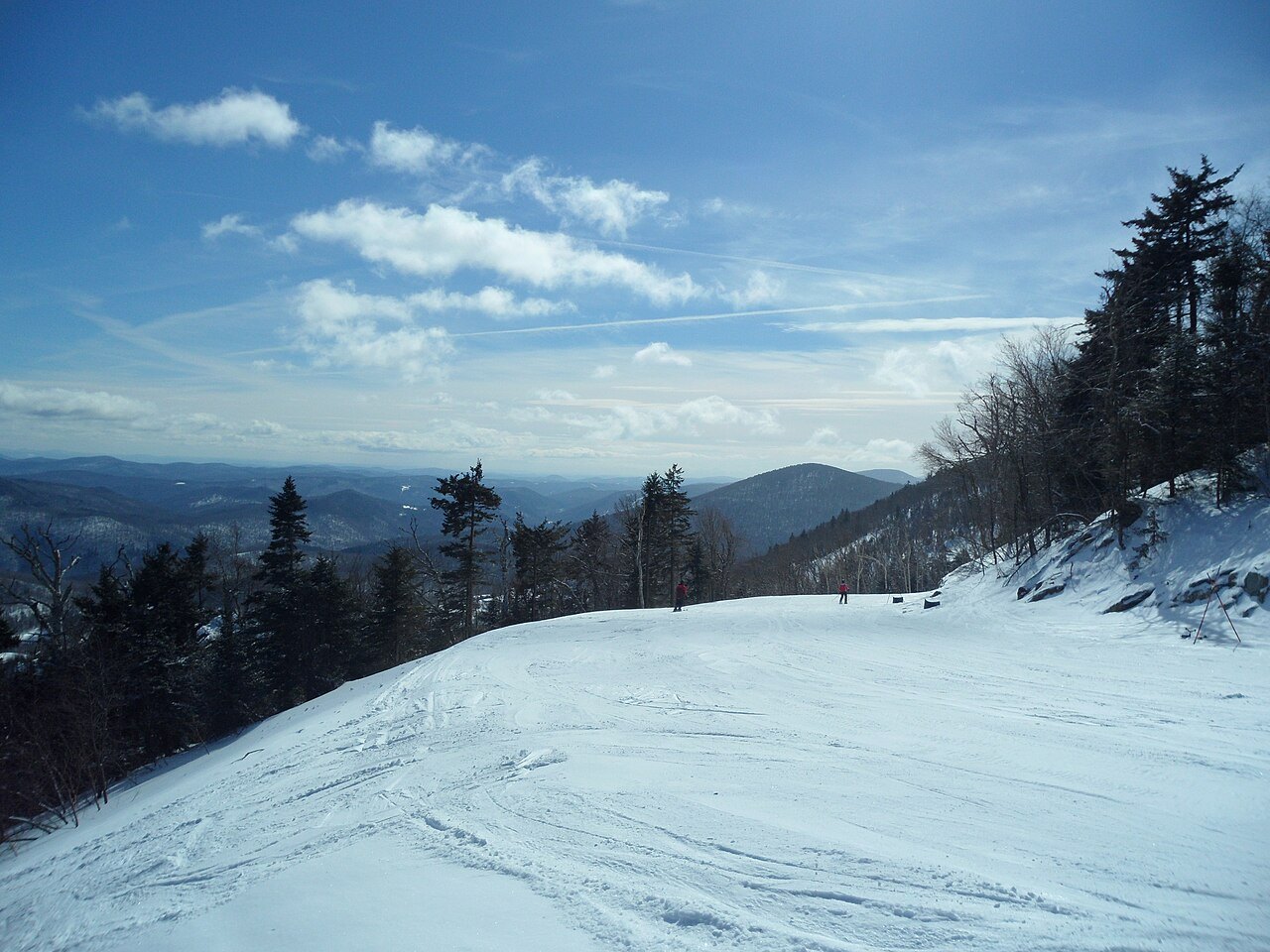
WilmingtonWilmington, Ludlow, Killington, Warren and Stowe are the resort towns the road is the main thoroughfare for. Many of the state's ski resorts sit on Route 100 or close to it, among them Mount Snow and Okemo; the road keeps a rural feel and is relatively free of development away from the resorts.
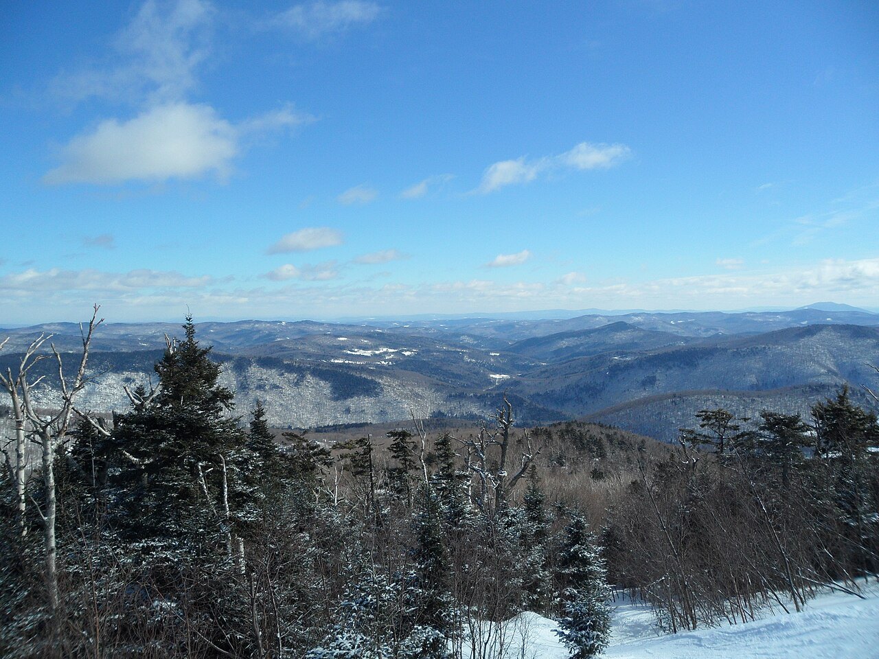
Killington
3,050 ft dropKillington is the largest ski area in the eastern United States and has the largest vertical drop in New England, 3,050 feet. Its summit, Killington Peak, is the second-highest mountain in Vermont.
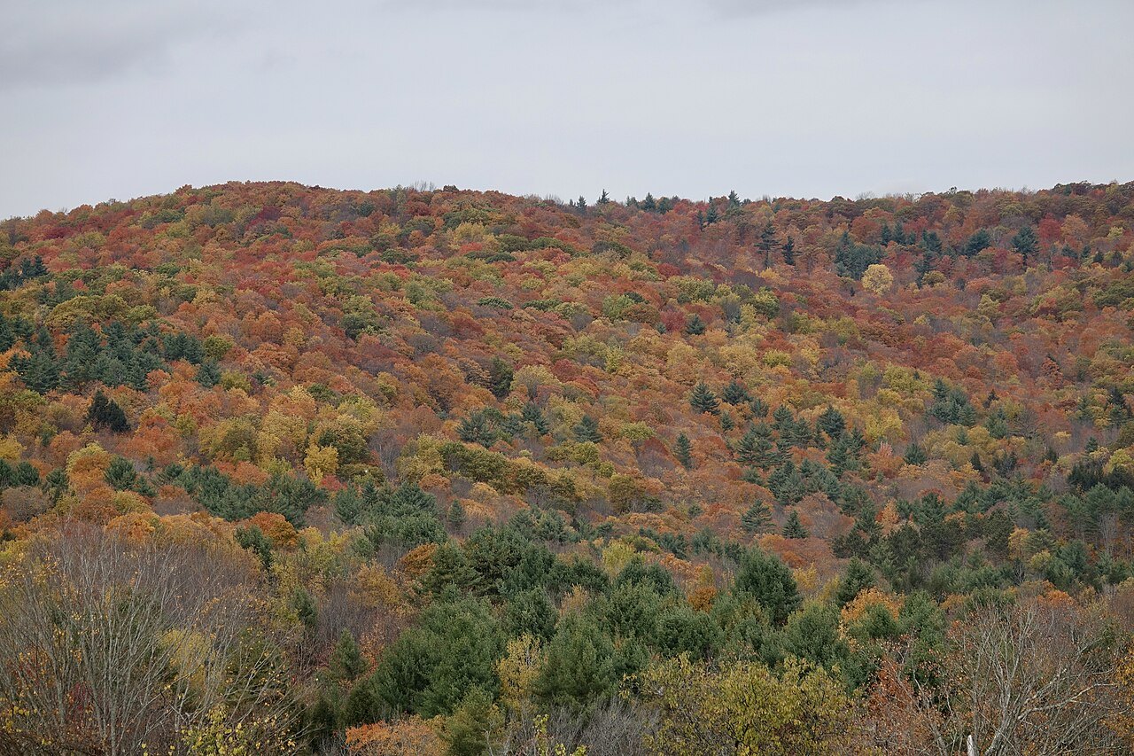
The Mad River Valley
Mad River ValleyFurther north the road passes through the Mad River Valley, with Warren and Waitsfield on it and Sugarbush and Mad River Glen close by. In autumn, for foliage, and in winter, for skiing, it is a popular tourist route and can be heavily trafficked.
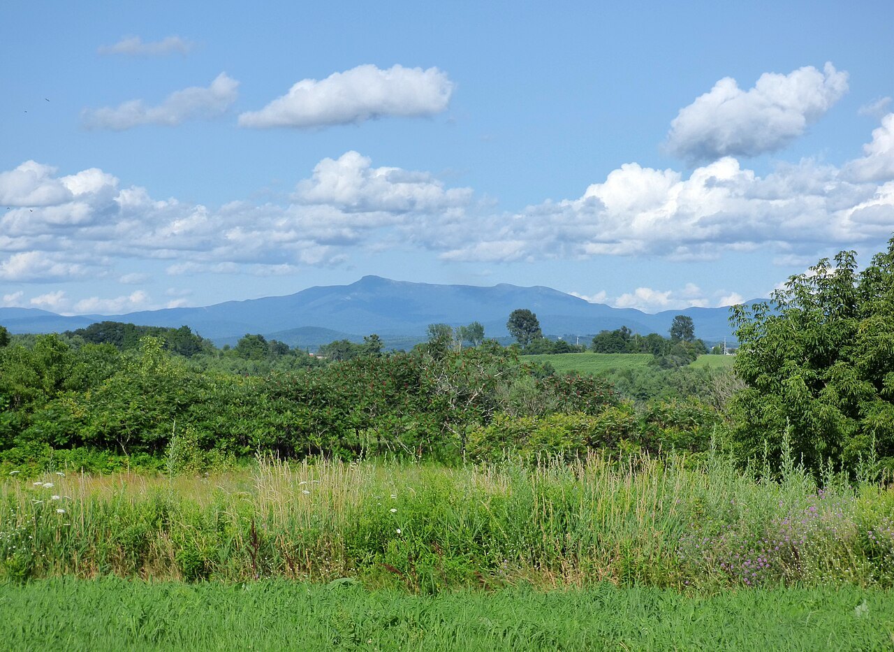
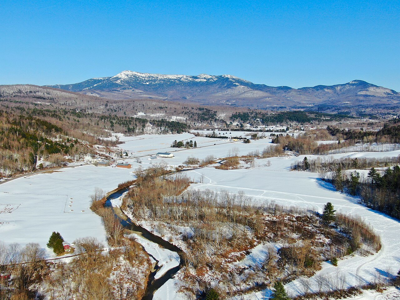
Stowe and Mount Mansfield
4,393 ftStowe is nicknamed the Ski Capital of the East, and Stowe Mountain Resort has terrain on Mount Mansfield, the highest mountain in Vermont at 4,393 feet.
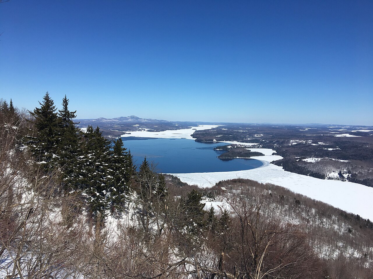
Newport, at the Canadian border
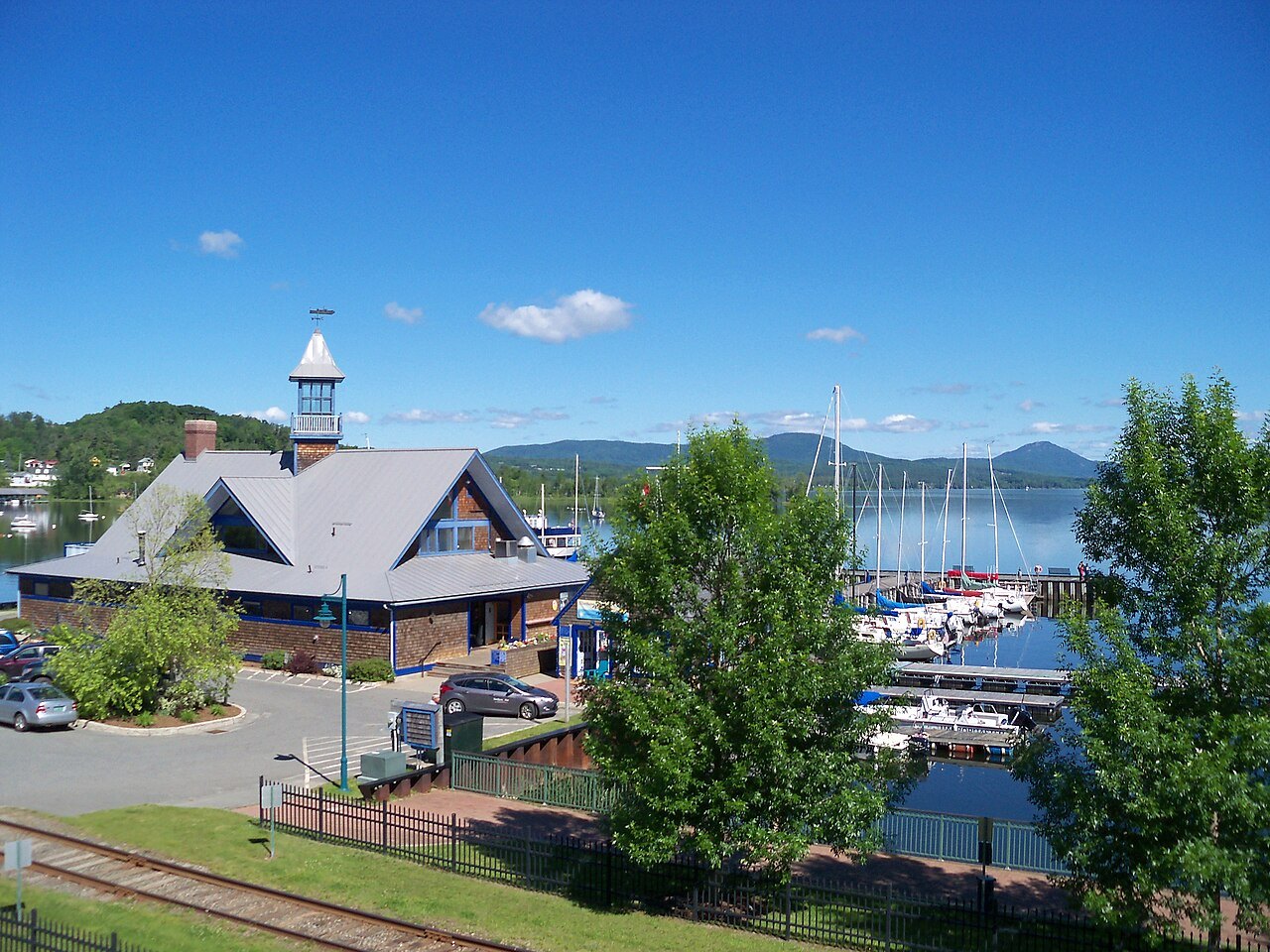
Canadian borderRoute 100 ends at its northern terminus at VT 105 in the town of Newport, which lies on the Canadian border, at the head of Lake Memphremagog.
Three ways in
Getting Here
One airport, two trains and a handful of interstates: how you get in decides the shape of the week.
Read the guideDriving Vermont
A car is the rule here. The distances, the Route 100 pace and the notch road, honestly measured.
Read the guideWhen to Come
Foliage in autumn, snow on the mountains, sap in the late winter, and the quiet weeks between.
Read the guideState 14th, March 4, 1791Capital MontpelierLargest city BurlingtonPopulation 644,663 (a Census estimate)Highest point Mount Mansfield, 4,393 ftMaple about half the nation's syrup
The parts of the guide
along the counter — scroll sideways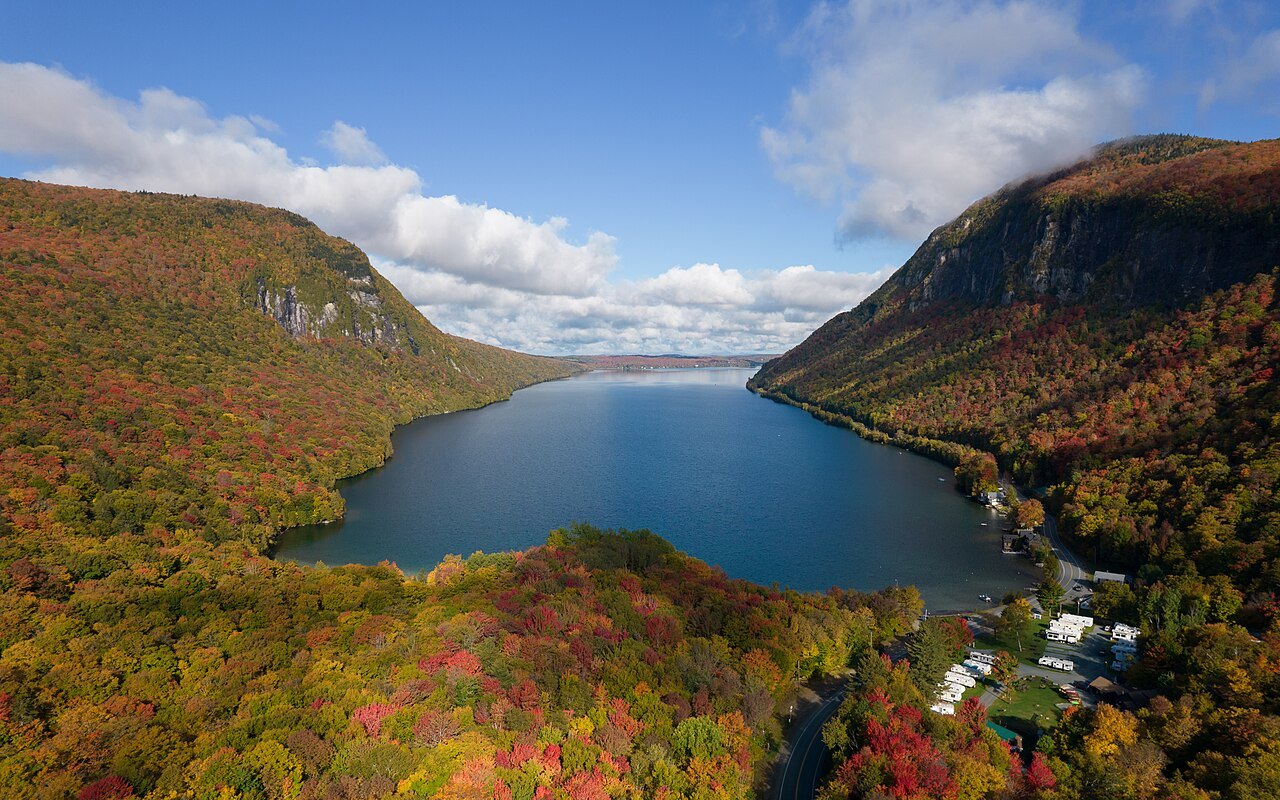
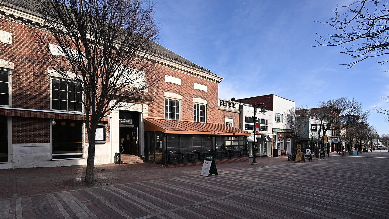
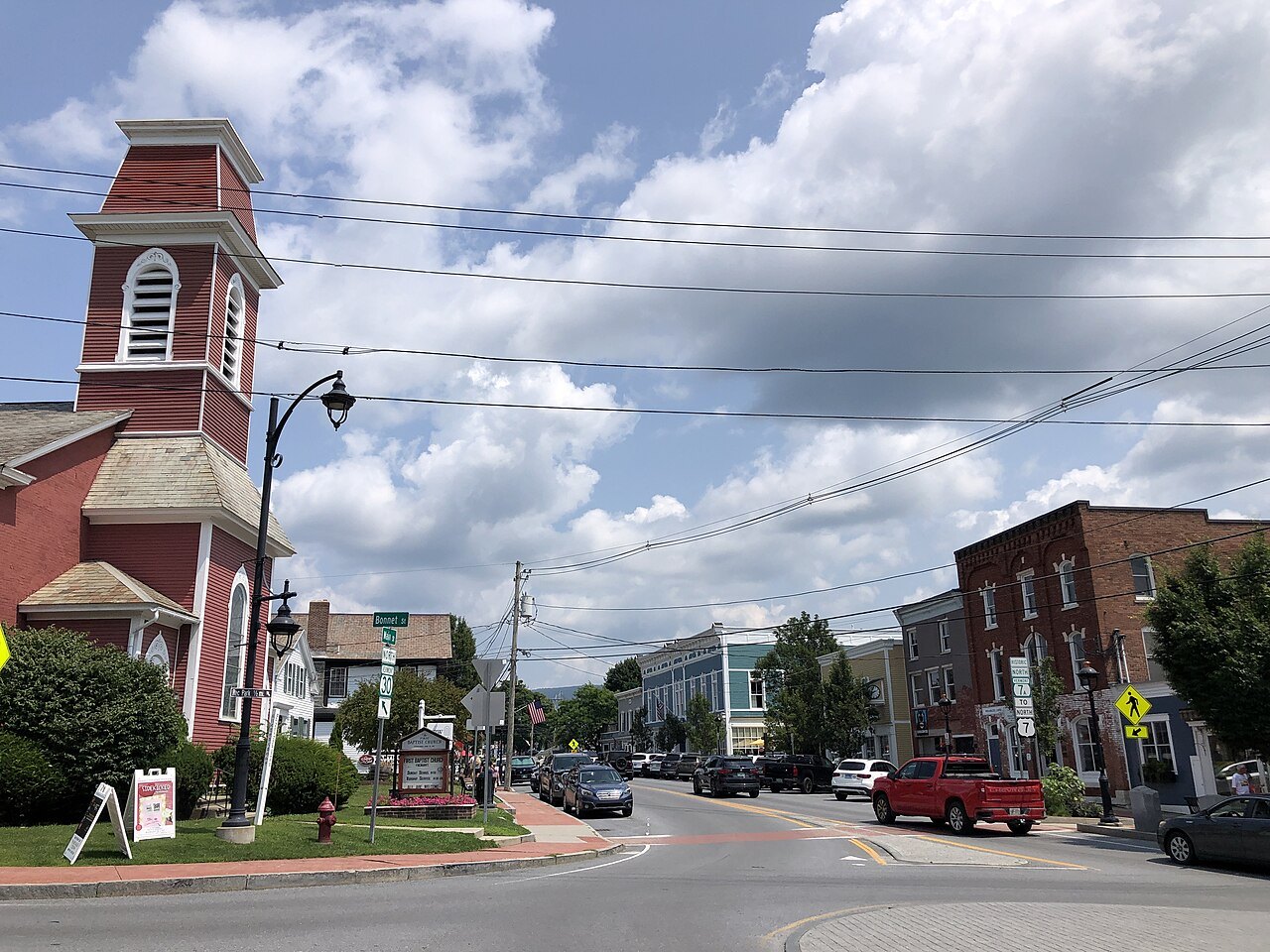
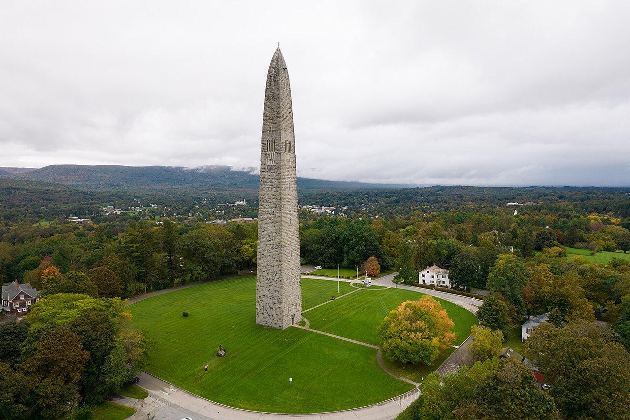
Eight towns to sleep in
along the counter — scroll sideways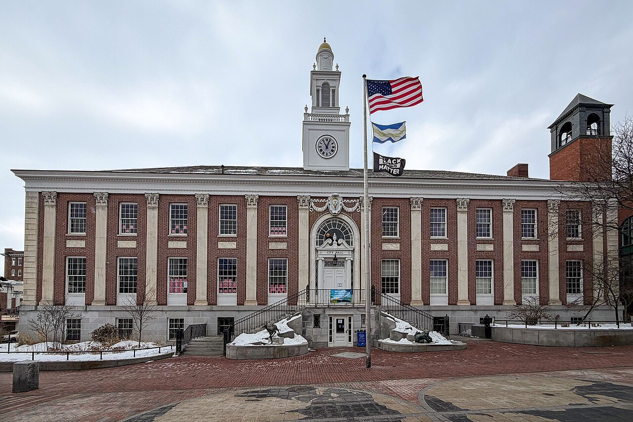
Fifteen landmarks
grouped by the part of the state they stand inThe Champlain Valley
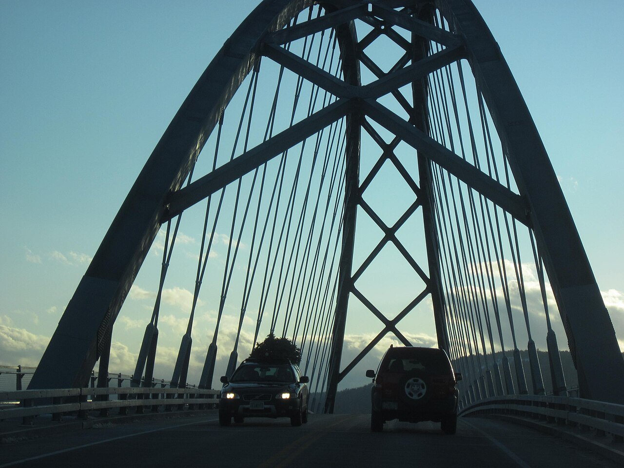
The lake, its farms and Burlington, west of the mountains
The Green Mountains
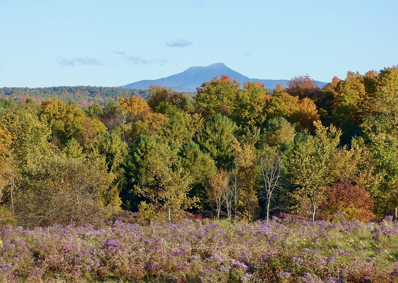
The spine of the state: Mansfield, the Notch, the Hump and the Long Trail
The Valleys and Villages
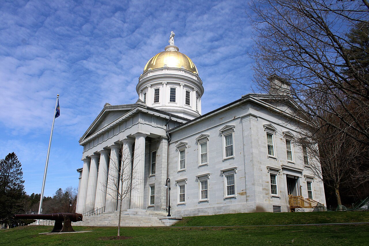
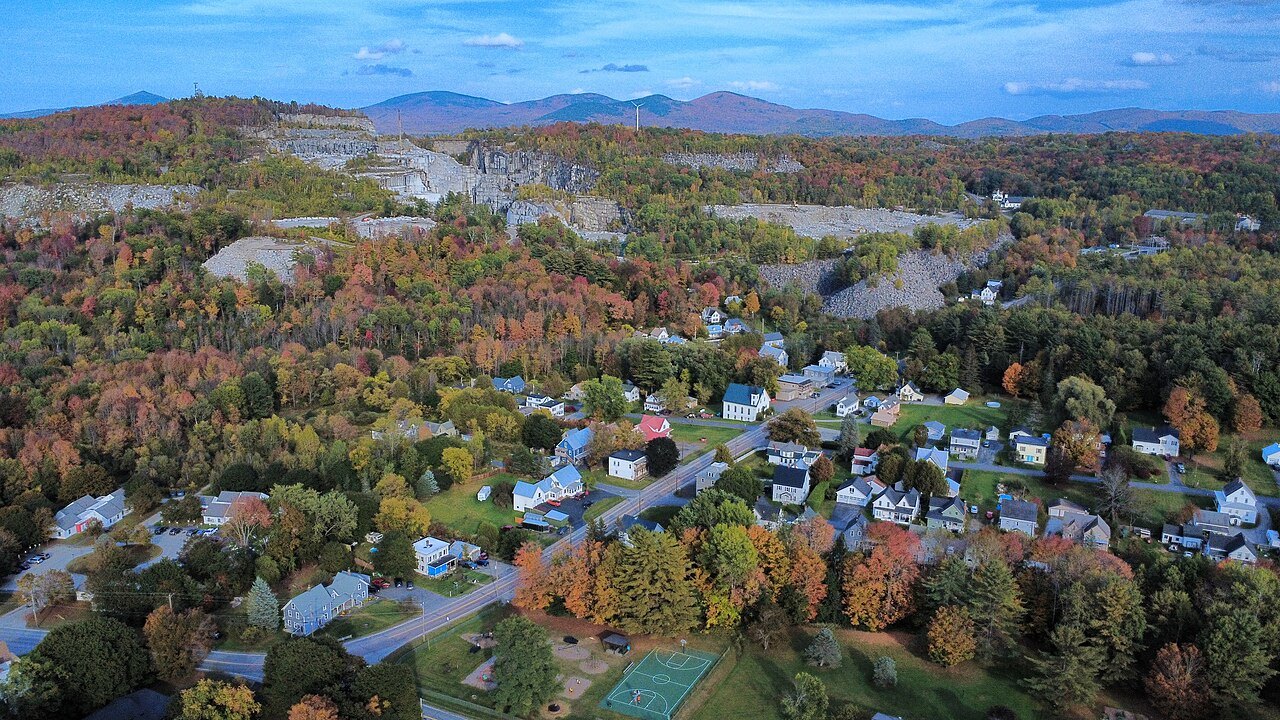
The capital, the granite town and the villages of the Connecticut River side
Southern Vermont
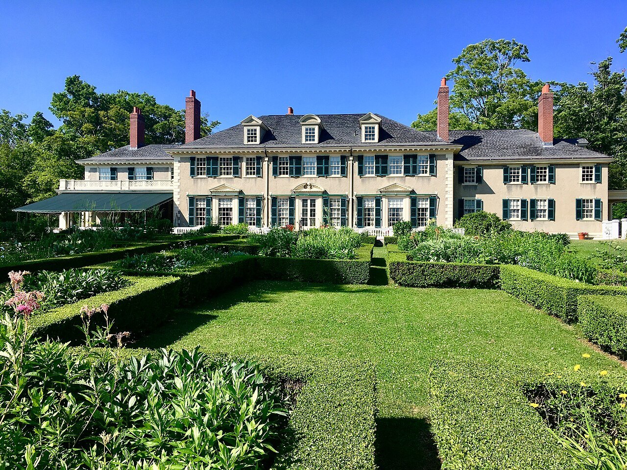
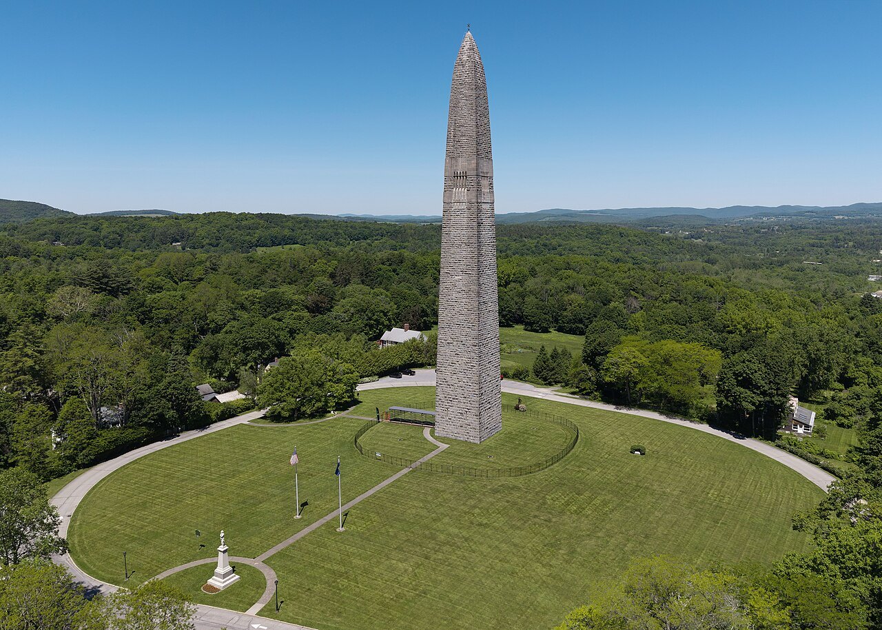
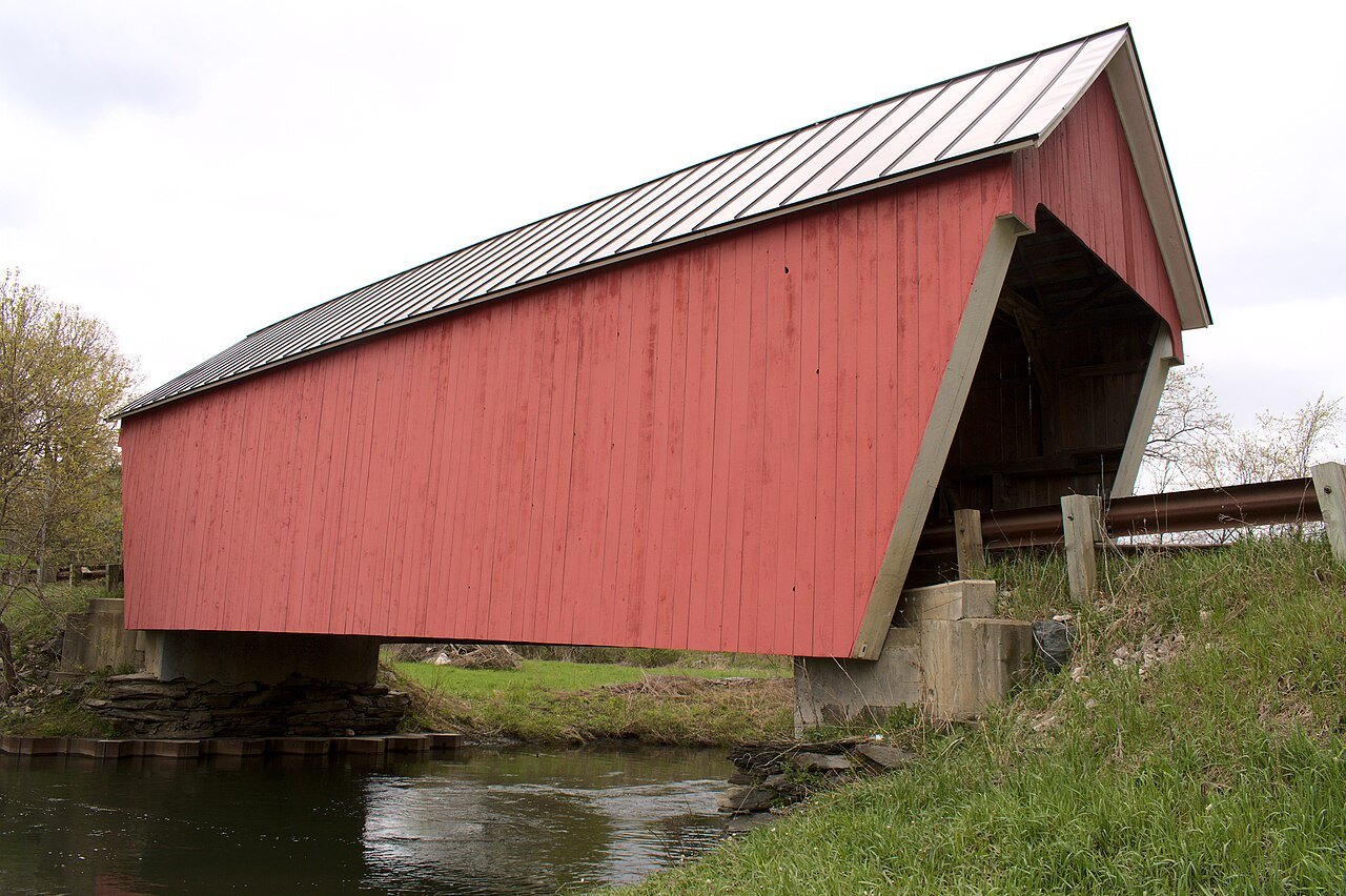
Bennington, Hildene, Brattleboro and the covered bridges
The Northeast Kingdom
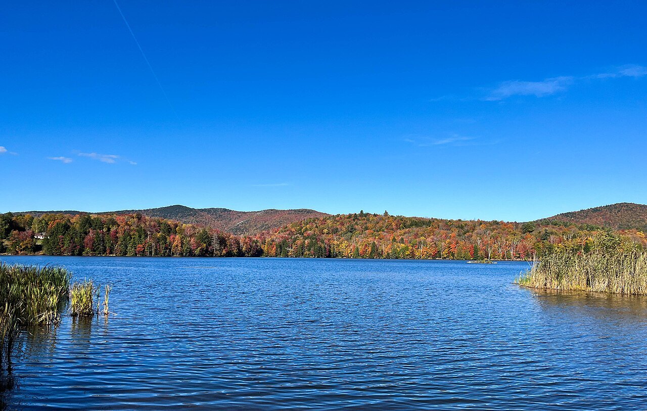
The empty corner: the deep lake and the Athenaeum