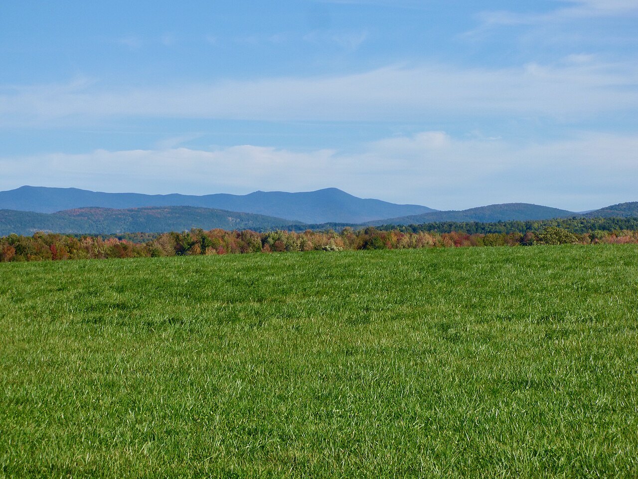
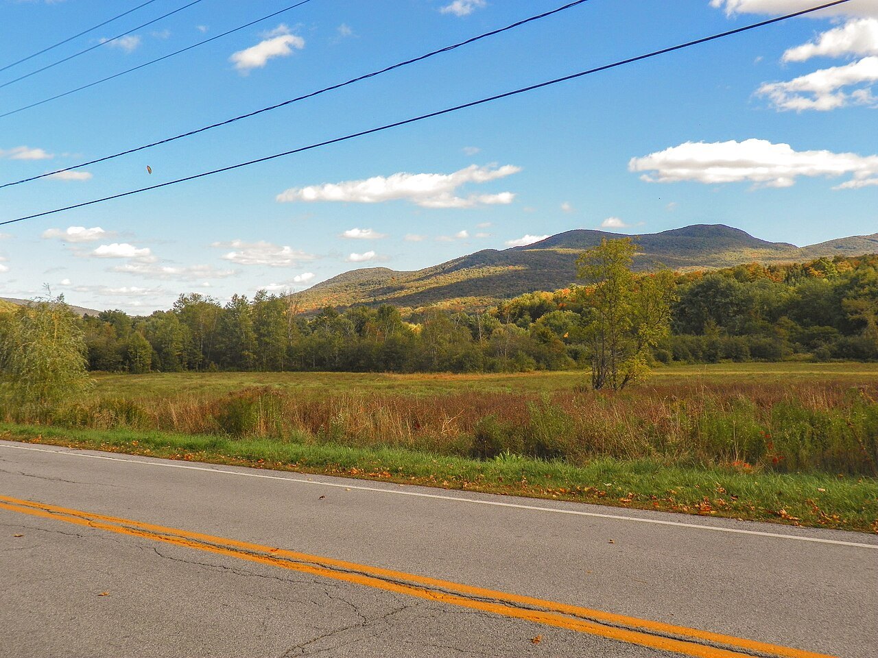
The Long Trail and the Green Mountains, a ridge with a footpath on it
Photographs: Forest Service Photography, Wikimedia Commons, Public domain · Niranjan Arminius, Wikimedia Commons, CC BY-SA 4.0 · Félix Mathieu-Bégin, Wikimedia Commons, CC BY 4.0
The Green Mountains · landmark 5 of 15
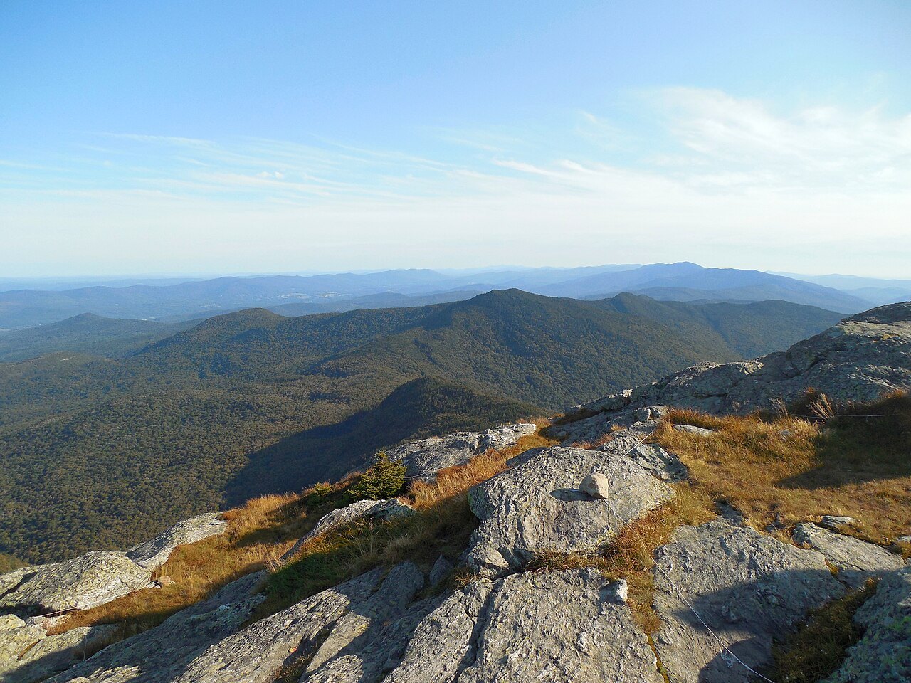
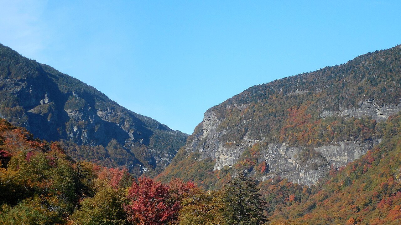
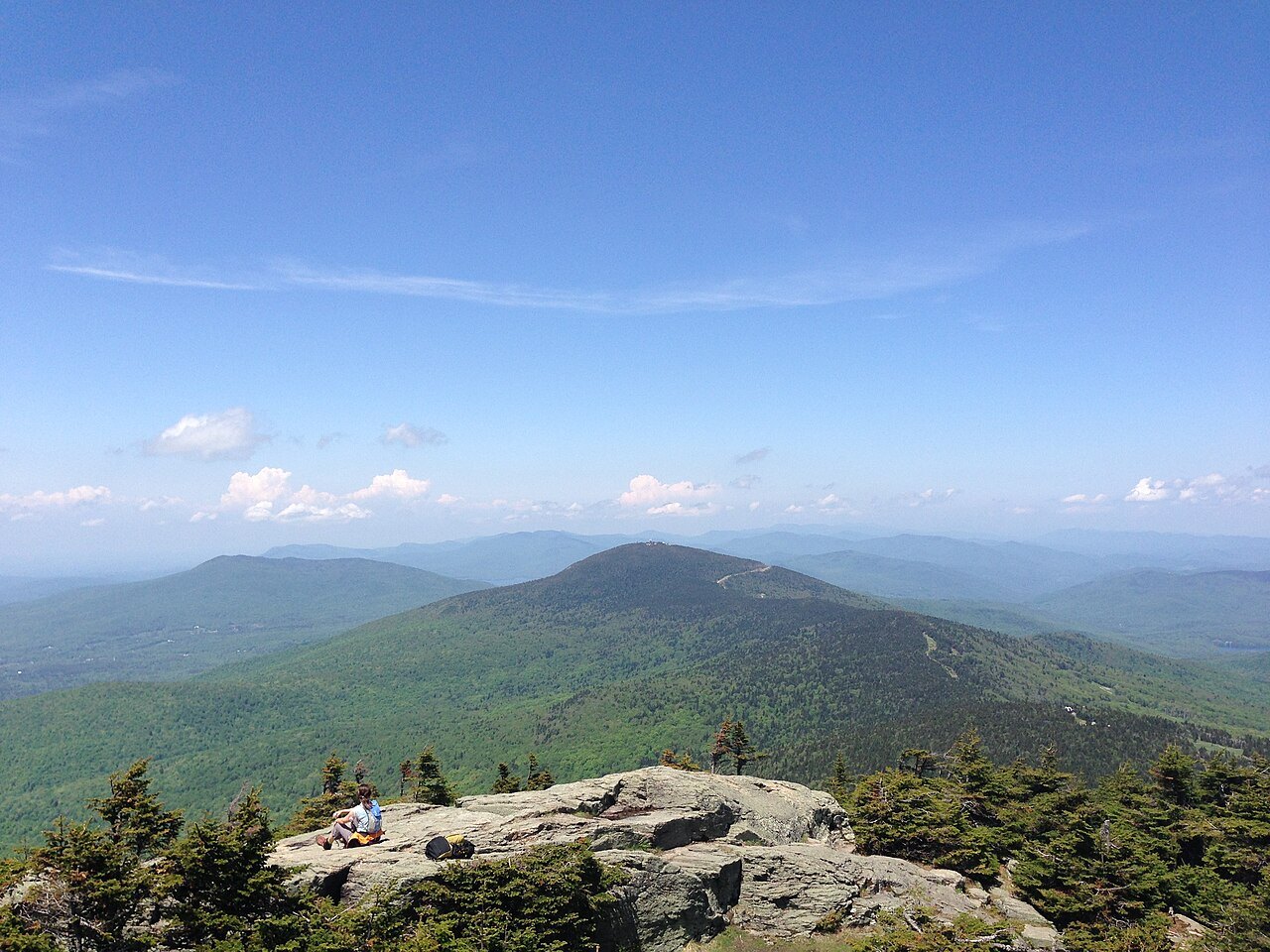
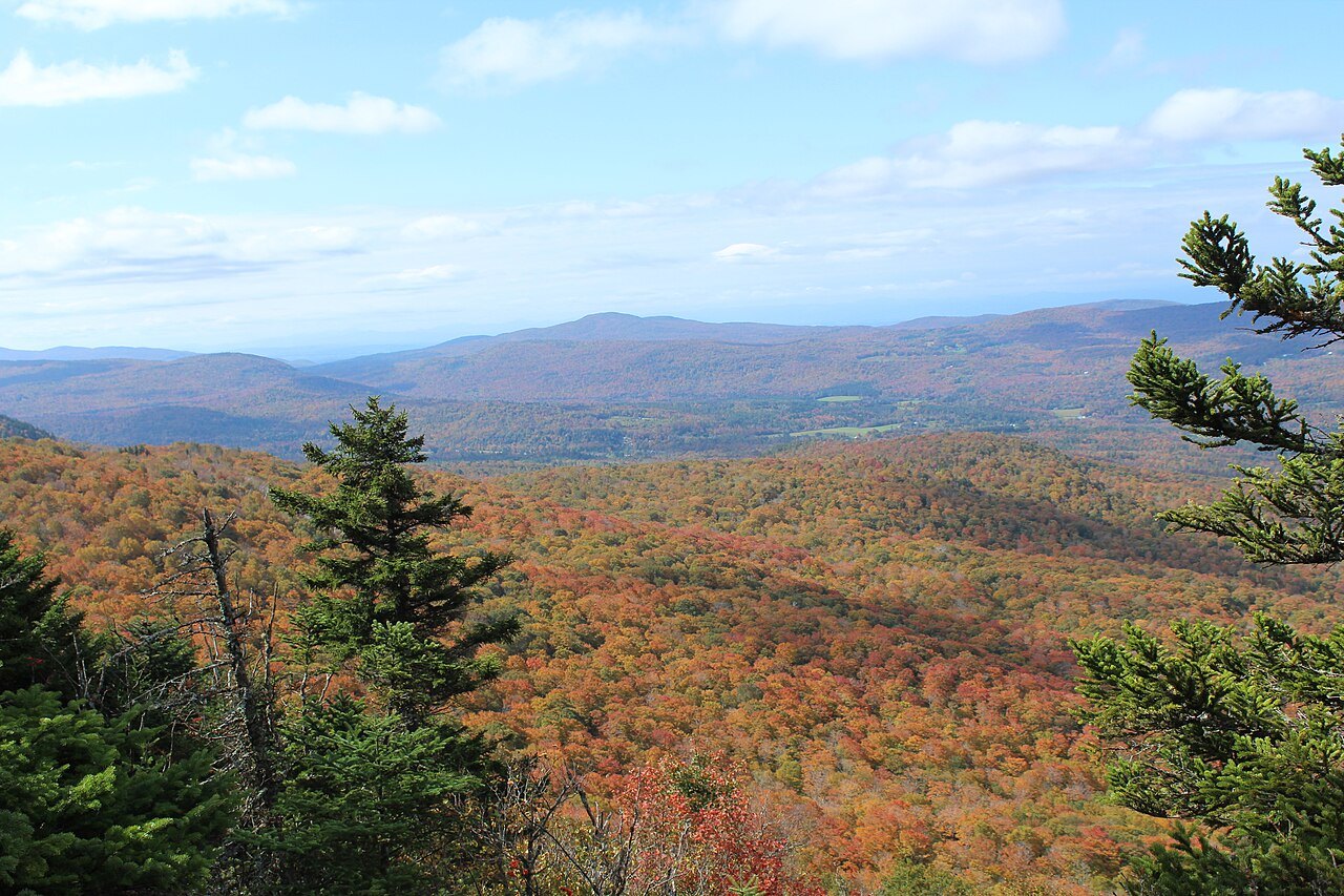
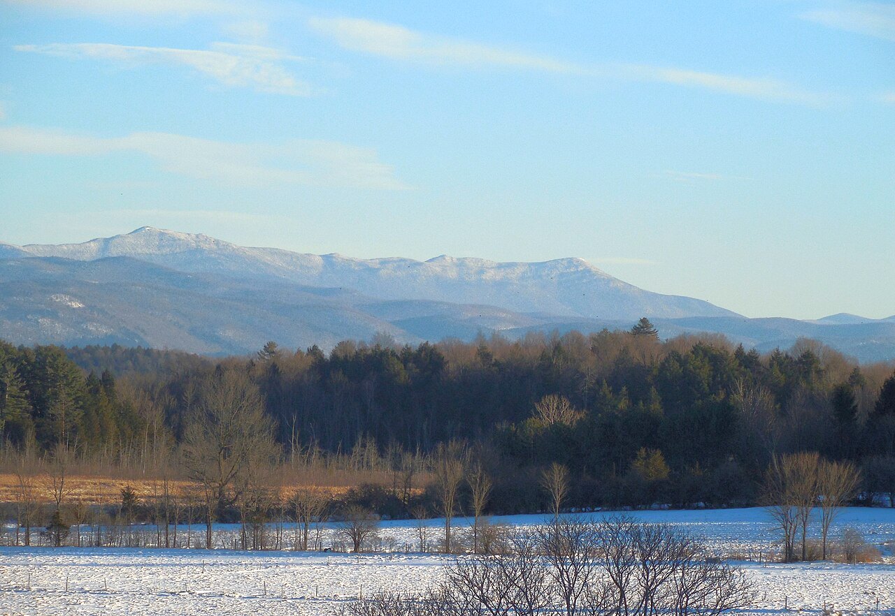
The Green Mountains run from the Massachusetts line to Québec, and the Long Trail, 273 miles of footpath built between 1910 and 1930, follows their main ridge and is the oldest long-distance trail in the United States.
- The Long Trail273 miles from the Massachusetts line to the Canadian border, along the main ridge.
- The Green Mountain ClubFounded in Burlington in 1910; it built the trail and still maintains it with volunteers.
- The Appalachian Trail overlapAbout one hundred miles in the southern third of the state are shared with the Appalachian Trail.
- Green Mountain National ForestFounded in 1932; one of only two national forest areas in New England.
- Five peaks over 4,000 feetThe range holds the highest ground in the state, and three summits carry alpine plants.
Why it matters
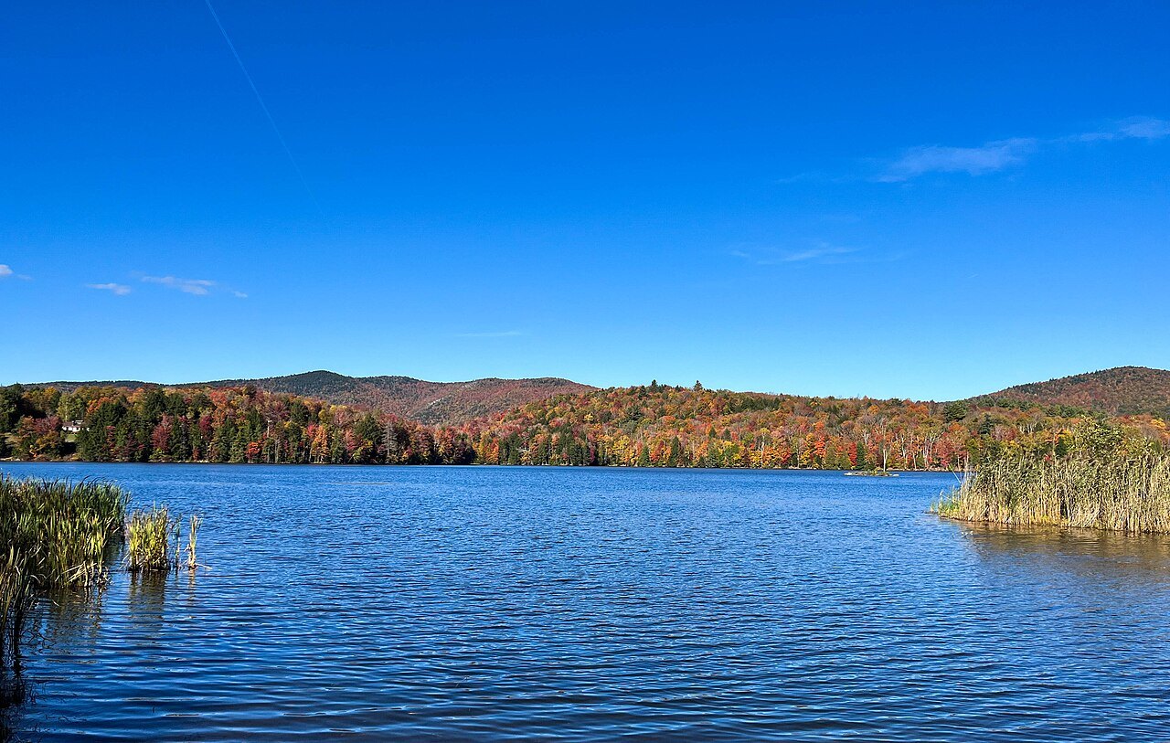
The Green Mountains are a subrange of the Appalachians, running mostly south to north for about 250 miles from the Massachusetts border to the border with Québec. They give Vermont its name and its nickname. The French Monts Verts, literally green mountains, was suggested as the name of the state in 1777 by Dr. Thomas Young, an American revolutionary, and the University of Vermont's abbreviation, UVM, comes from the Latin for the university of the green mountains.
The range is also the state's spine in a practical sense. Valleys and farms lie on either side of it, the roads run along and across it, and its ski resorts and hiking routes draw much of the visiting season. The Long Trail is the clearest way to see all of it.
The oldest long-distance trail
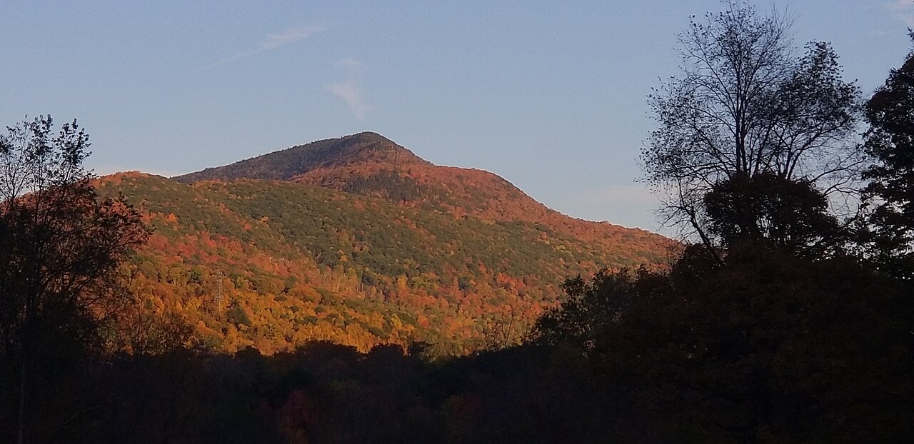
The Long Trail runs 273 miles through Vermont, from the Massachusetts state line at Clarksburg to the Canadian border at Jay. It follows the main ridge of the Green Mountains and is the oldest long-distance hiking trail in the United States, built between 1910 and 1930 by the Green Mountain Club.
It was conceived in 1909 by James P. Taylor, then assistant headmaster of Vermont Academy in Saxtons River. On March 11, 1910, Taylor and twenty-five others met at the Van Ness House in Burlington for the first meeting of the Green Mountain Club. Construction began in 1912 on what became America's first long-distance hiking path, and the club completed the Long Trail in 1930.
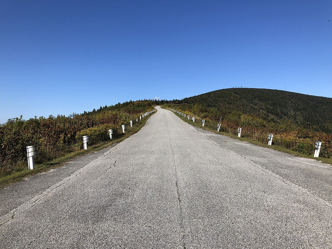
The summits it crosses
The trail passes over most of the major summits in the range. From south to north they are Glastenbury Mountain, Stratton Mountain, Killington Peak, Mount Abraham, Mount Ellen, Camel's Hump, Mount Mansfield and Jay Peak. Mansfield is the highest point in Vermont, and the range holds five peaks over 4,000 feet. Three of them, Mansfield, Camel's Hump and Mount Abraham, support alpine vegetation.
The trail runs through six of the eight wilderness areas in the Green Mountain National Forest: Glastenbury, Lye Brook, Peru Peak, Big Branch, Joseph Battell and Breadloaf. In the southern third of the state it shares its route with the Appalachian Trail for roughly a hundred miles, and the Long Trail served as the inspiration for the longer path. About twenty-three miles share the route of the North Country National Scenic Trail, and more than 175 miles of side trails complete the Long Trail System.
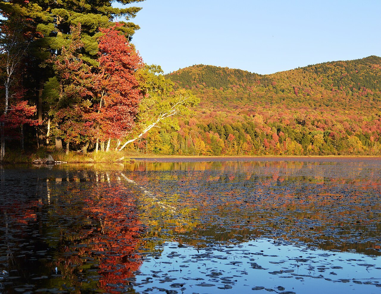
The club and its volunteers
The Green Mountain Club is recognized by the state legislature as the founder, sponsor, defender and protector of the Long Trail System, and the trail sees about 410,000 people a year. Twelve club sections maintain assigned stretches of the trail, and two others look after trails in the Northeast Kingdom and the Appalachian Trail from Maine Junction in Killington to the Connecticut River.
Roughly a thousand volunteers do most of the work, with a paid staff, a seasonal crew of summit caretakers and the Long Trail Patrol, which takes on heavy projects. During mud season in late spring the club closes some sections to hikers, to prevent erosion and to protect the fragile alpine plants on the higher peaks.
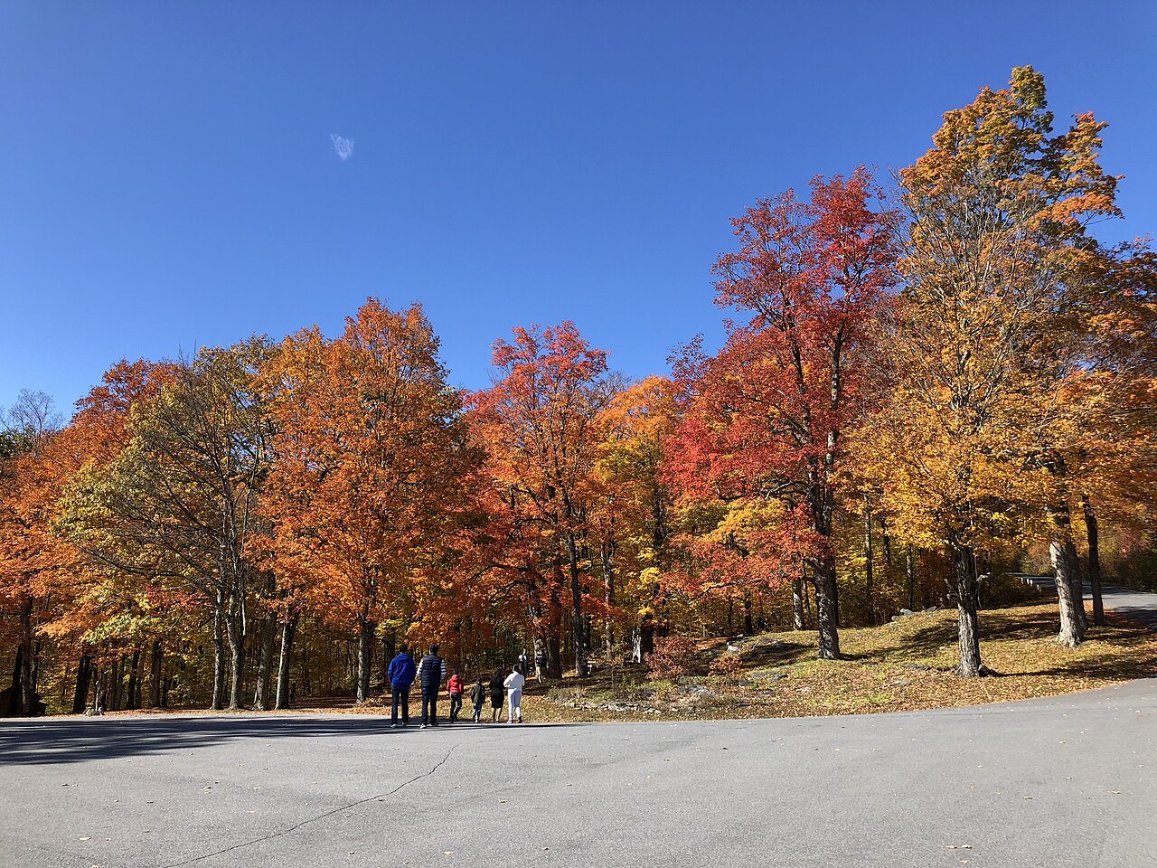
The national forest
Much of the range lies in the Green Mountain National Forest, established in 1932 because of uncontrolled overlogging, fire and flooding. It began with 102,100 acres inside its boundary, of which only 1,842 were federally owned. By 2011 the boundary enclosed 821,040 acres, and about 399,000 were federally owned. It is one of only two national forest areas in New England, the other being the White Mountain National Forest in New Hampshire, and it has been called the granite backbone of the state.
The forest spreads across parts of six counties, Bennington, Addison, Rutland, Windham, Windsor and Washington, with its headquarters in Mendon. It holds three nationally designated trails, including parts of the Appalachian Trail and the Long Trail and the Robert Frost National Recreation Trail, three alpine ski areas, seven Nordic ski areas and about 900 miles of multiple-use trails. Wildlife includes beaver, moose, coyote, black bear, white-tailed deer, wild turkey and ruffed grouse. Eight wilderness areas bar motorized and mechanical vehicles, bicycles included.
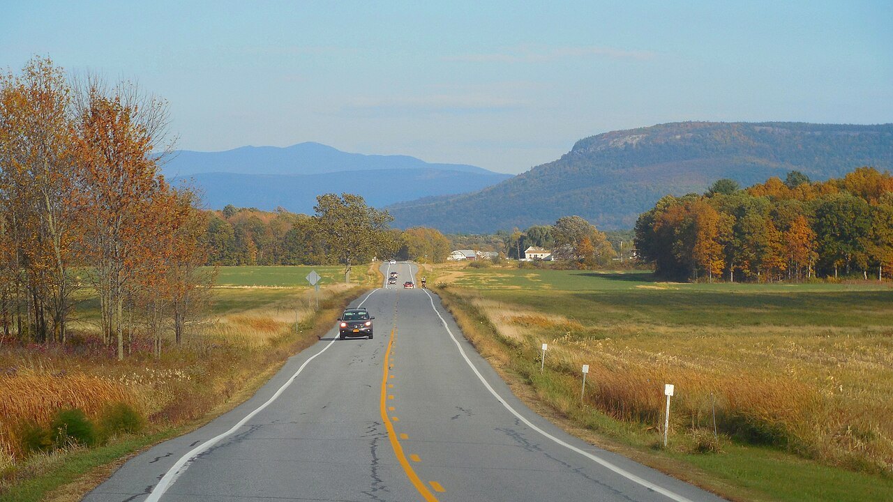
Skiing and the road
Some of the range is developed for snow sports and some is left to hikers. Mansfield, Killington, Pico and Ellen have downhill ski resorts on their slopes, and Jay Peak receives the most snowfall on average in the eastern United States. The best known mountains are those reached by the Long Trail and by road or lift, among them Killington, whose Maine Junction is where the club's care of the Appalachian Trail begins on its way east to the Connecticut River.
For drivers, Route 100 runs along the eastern edge of the national forest for much of its length, and the scenic drives page describes it.
Planning a walk on it
A walk on the Long Trail can be as short as a day. The trail meets Route 9 at Woodford, east of Bennington, and it passes beside the roads that cross the range, so a section can be walked in a few hours or the whole trail in weeks. Late spring is the season the club closes sections to hikers, so check before choosing the high peaks.
Pair the trail with the nearby summits, and with the Bennington Battle Monument in the south and the village of Stowe in the north. For the history that sits behind the name of the state, see the State House in Montpelier.