Scenic drives in Vermont: six roads that show the state
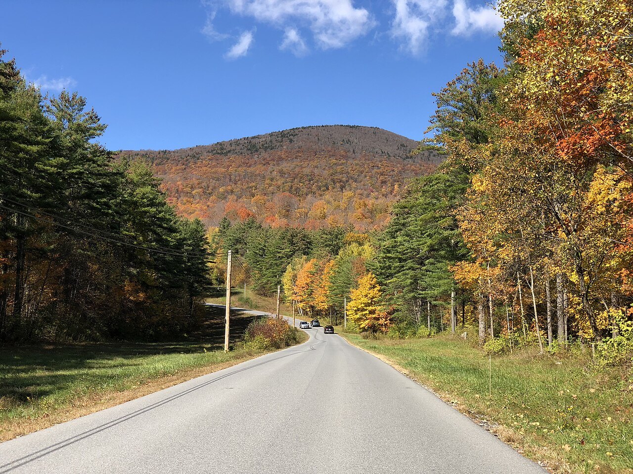
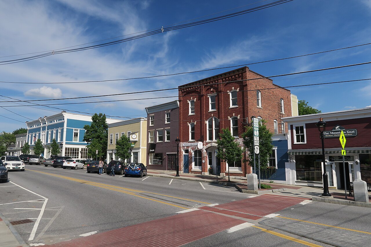
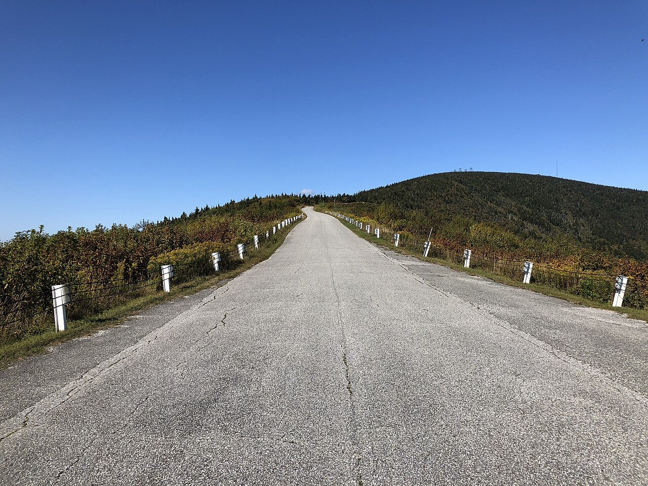
Photographs: Famartin, Wikimedia Commons, CC BY-SA 4.0 · John Phelan, Wikimedia Commons, CC BY-SA 4.0 · Famartin, Wikimedia Commons, CC BY-SA 4.0
Access Vermont · Routes and loops
Vermont's best roads follow rivers, climb through notches and run the length of the Green Mountains; this page picks six, says where each begins and ends and what you meet along the way.
The drives
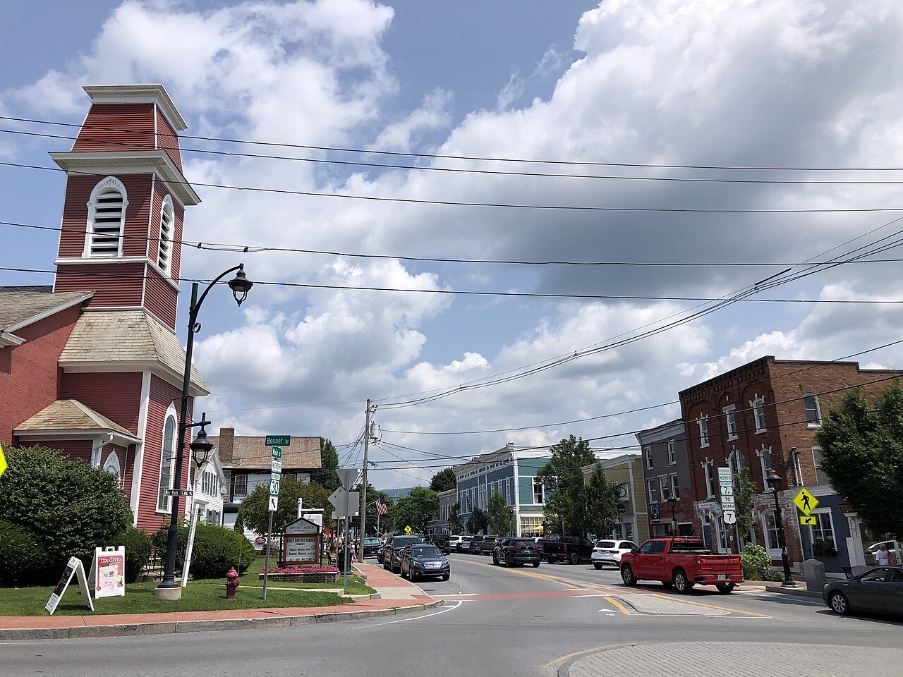
Vermont Route 100 running north through a town with a red church and brick storefronts. Photo: Famartin, Wikimedia Commons, CC BY-SA 4.0 1The spine: Vermont Route 100
The state's longest numbered highway, 216 miles down the center of Vermont along the eastern edge of the Green Mountain National Forest, through the Mad River Valley and past a string of ski towns.
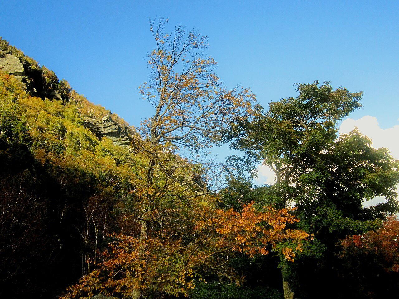
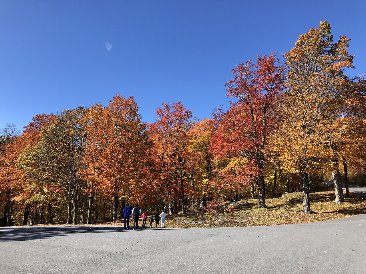
Autumn maples in the sun below the cliffs of Smugglers' Notch. Photo: Michelle Maria, Wikimedia Commons, CC BY 3.0 2The notch road: Vermont Route 108
A 17-mile climb through Smugglers' Notch on the flank of Mount Mansfield, very steep and winding; the state closes it in winter and bars tractor-trailers.
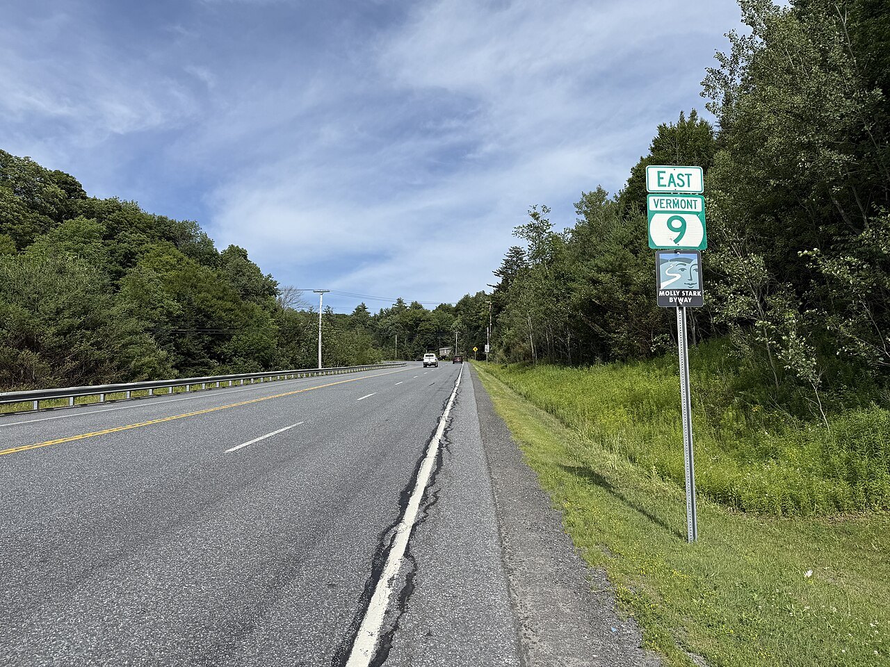
Vermont Route 9 eastbound past the Molly Stark State Park entrance, with a green route sign. Photo: Dough4872, Wikimedia Commons, CC BY-SA 4.0 3The Molly Stark Trail: Vermont Route 9
About 47 miles across the southern Green Mountains, crossing the Appalachian Trail and Long Trail on the climb and descending along the Deerfield River.
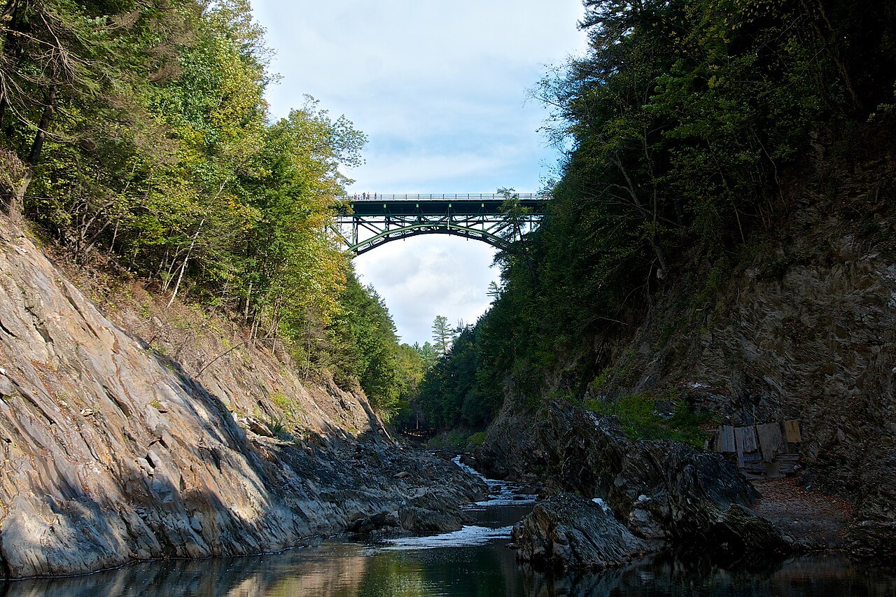
The U.S. Route 4 bridge crossing high above Quechee Gorge, with rock walls below. Photo: Eyeheartbrain, Wikimedia Commons, CC BY-SA 3.0 4The Ottauquechee road: U.S. Route 4
A 66-mile crossing of the middle of the state through Rutland, Killington and the Ottauquechee valley, with the Quechee Gorge Bridge above a gorge 165 feet deep.
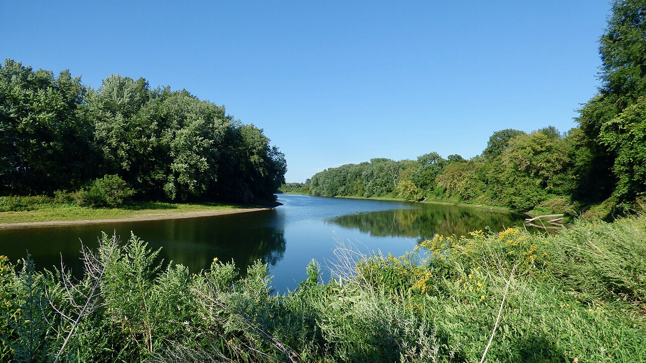
The Winooski River in the Intervale, a calm bend between green banks. Photo: Niranjan Arminius, Wikimedia Commons, CC BY-SA 4.0 5The lake and the river: U.S. Route 2
From the islands of Grand Isle County across Lake Champlain, through Burlington and along the Winooski River beside I-89 to the capital.
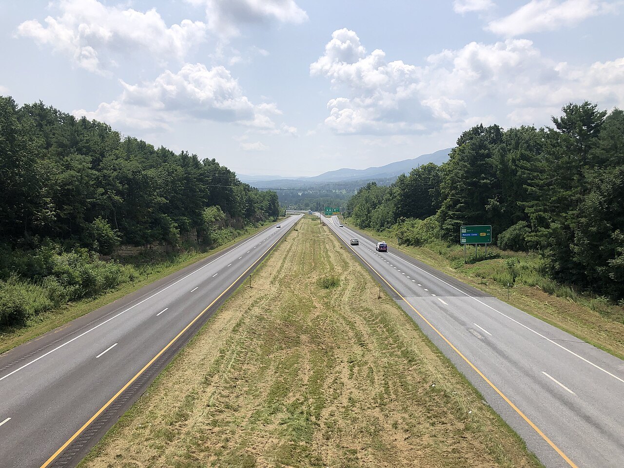
A divided highway running south through green hills on U.S. Route 7. Photo: Famartin, Wikimedia Commons, CC BY-SA 4.0 6The Ethan Allen Highway: U.S. Route 7
The 176-mile western road from the Massachusetts line through Bennington, Rutland, Middlebury and Burlington to the northern border, mostly two lanes.
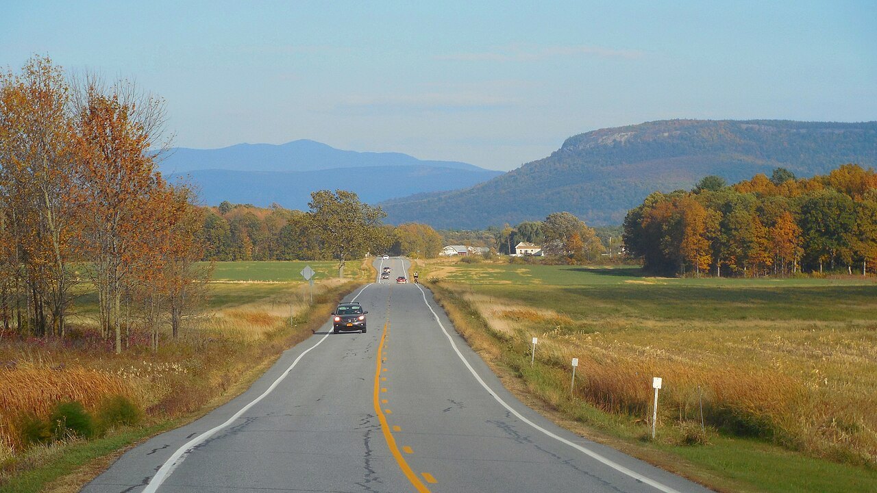
How to use this page
Vermont is small enough that no drive on this page takes a full day without stops, and large enough that each shows a different Vermont. They are not a ranking; they are a menu. The first, Route 100, is the spine of the state and the road behind the drive on the homepage, and the others cross it. The best way to use them is to choose one or two and give them a half-day each, rather than rushing the lot.
All six are public highways that can be driven in any ordinary car in good weather. Several are heavily traveled in fall, when the foliage draws visitors, so the when to come page and the getting around page are worth reading first.
Plan for the speed of the road, not the speed on the map. Many of these drives are shared with farm vehicles, bicycles and walkers in the villages, and the slow stretches are the point. Keep to the shoulder of a narrow mountain road, pull off to let others pass, and fill the tank before the long hill sections.
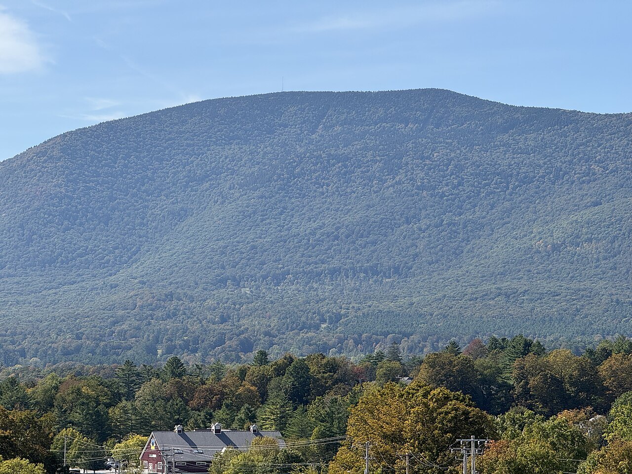
Route 100: down the center of the state
Vermont Route 100 runs from the Massachusetts line at Stamford to Newport, where it ends at Vermont Route 105. It follows the eastern edge of the Green Mountain National Forest for much of its length and passes through the Mad River Valley. It is the main thoroughfare for some of the state's best-known resort towns, among them Wilmington, Ludlow, Killington, Warren and Stowe, and most of Vermont's ski resorts lie on it or near it: Okemo, Mount Snow, Killington, Sugarbush, Mad River Glen, Stowe and Jay Peak.
Despite the traffic of fall and winter the road keeps a rural feel through most of the towns and is relatively free of development, except around the ski areas. The most populous town on its route is Morristown, with a little over 5,400 people. Several of its most heavily used sections were badly damaged by Tropical Storm Irene in 2011, and the state has since rebuilt many segments, so check for work on the Waterbury to Stowe and Warren to Waitsfield stretches.
Route 108: through the notch
From Stowe village, Vermont Route 108 leads northwest through Smugglers' Notch to Jeffersonville, 17 miles away in the Lamoille River valley. The notch got its name from the smuggling that followed the Embargo Act of 1807, when goods were taken down mountain trails to avoid the ban on trade. The road cuts through Mount Mansfield State Forest on the flank of Mount Mansfield, and the climb between the walls of the notch is steep and winding.
Because it cannot be plowed in winter, the state closes the road between the state forest access parking lot and the resort, usually from late October until May, and tractor-trailers are barred. The state park along it has 14 lean-to shelters and 20 campsites just off the road.
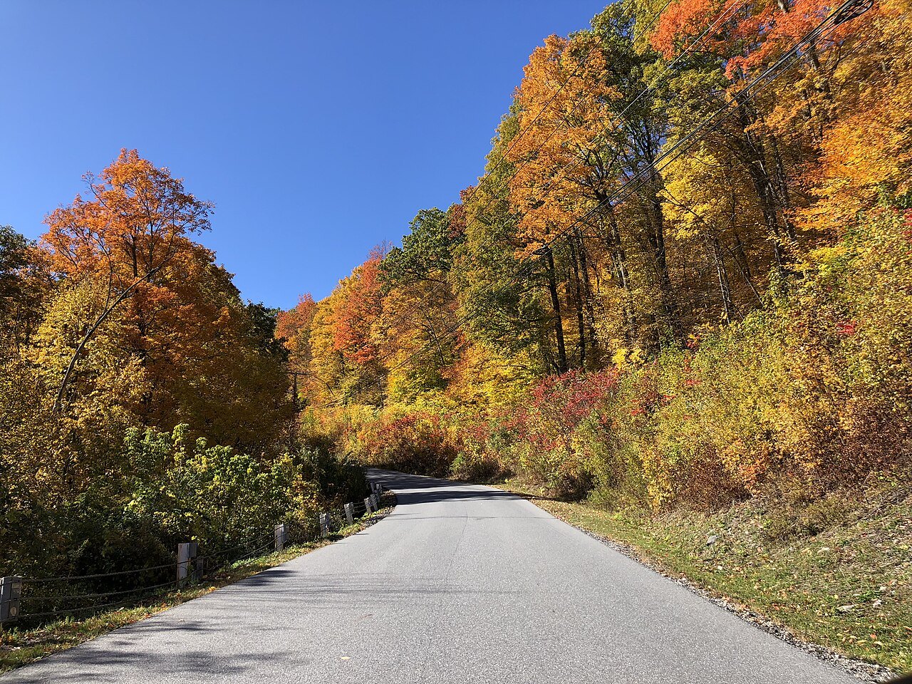
Route 9: the Molly Stark Trail
Vermont Route 9 runs 47 miles from the New York line at Bennington to the Connecticut River at Brattleboro, and it is the primary east–west highway of the southern part of the state. It is known throughout as the Molly Stark Trail, after the wife of General John Stark of the American Revolutionary War, and it climbs along a river beyond Woodford, where it crosses the Appalachian Trail and the Long Trail, before it summits the Green Mountains and descends along the Deerfield River.
In the east it passes through West Brattleboro as Western Avenue and meets Interstate 91 at an interchange, then turns onto Main Street in the town. It makes a good one-way crossing between the Bennington Battle Monument and Brattleboro's art galleries.
Route 4: the Ottauquechee valley
U.S. Route 4 crosses Vermont for 66 miles between Fair Haven and White River Junction. Its western end is a 19-mile expressway, and east of Rutland it becomes a two-lane road that meanders through the Green Mountains past Mendon and Killington, then follows the Ottauquechee River through Quechee, where it crosses the gorge on the Quechee Gorge Bridge. Quechee State Park lies along the river near the village.
The river flows on to Woodstock, which is worth a stop for the green and the park; see the Woodstock page. At White River Junction the road meets Interstate 89, which makes this a natural route for leaving the state to the east.
Route 2 and Route 7
U.S. Route 2 begins at the New York line in Alburgh, crosses Lake Champlain into Grand Isle County and crosses several bridges between the islands before it reaches the mainland. From Burlington it follows the Winooski River beside I-89 to Montpelier. The corridor was first established in 1805 as the Winooski Turnpike, a 36-mile toll road along the flat banks of the river that stopped charging tolls in 1852.
U.S. Route 7, the Ethan Allen Highway, is the long road on the western side of the state. Most of it is an undivided road of two to four lanes, with expressway sections near Bennington and south of Rutland, and it is known for its whole length as the Ethan Allen Highway. The Lake Champlain page covers the shore it leaves behind to the west.
Short detours worth knowing
Several short alternate routes are older alignments of the main roads, and they are often the better drive. Historic Vermont Route 7A runs about 28 miles between Bennington and Dorset and is signed that way to distinguish the original road from the modern limited-access highway. Vermont Route 7B follows the original alignment through Wallingford and Clarendon. Vermont Route 100A, about 7 miles, links Route 100 to U.S. Route 4 in Bridgewater, and Route 100B, about 8 miles, connects Route 100 to U.S. Route 2 in Middlesex.
In the Northeast Kingdom, Vermont Route 5A runs along the eastern edge of Lake Willoughby, which is covered on its own page, Lake Willoughby. West of the Green Mountains, Vermont Route 125 enters Middlebury from the west through the college as College Street and leaves at the Ripton town line, on its way to the Long Trail and the mountains at Middlebury Gap.
More for planning
Sources read for this page
- en.wikipedia.org/wiki/Vermont_Route_100
- en.wikipedia.org/wiki/Vermont_Route_108
- en.wikipedia.org/wiki/Vermont_Route_9
- en.wikipedia.org/wiki/U.S._Route_4_in_Vermont
- en.wikipedia.org/wiki/U.S._Route_2_in_Vermont
- en.wikipedia.org/wiki/U.S._Route_7_in_Vermont
- en.wikipedia.org/wiki/Smugglers%27_Notch_State_Park