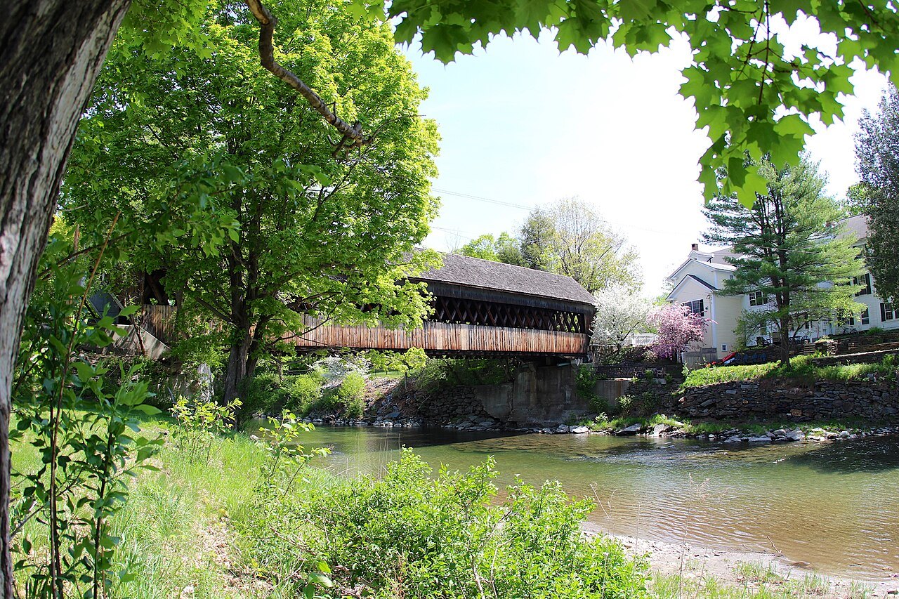
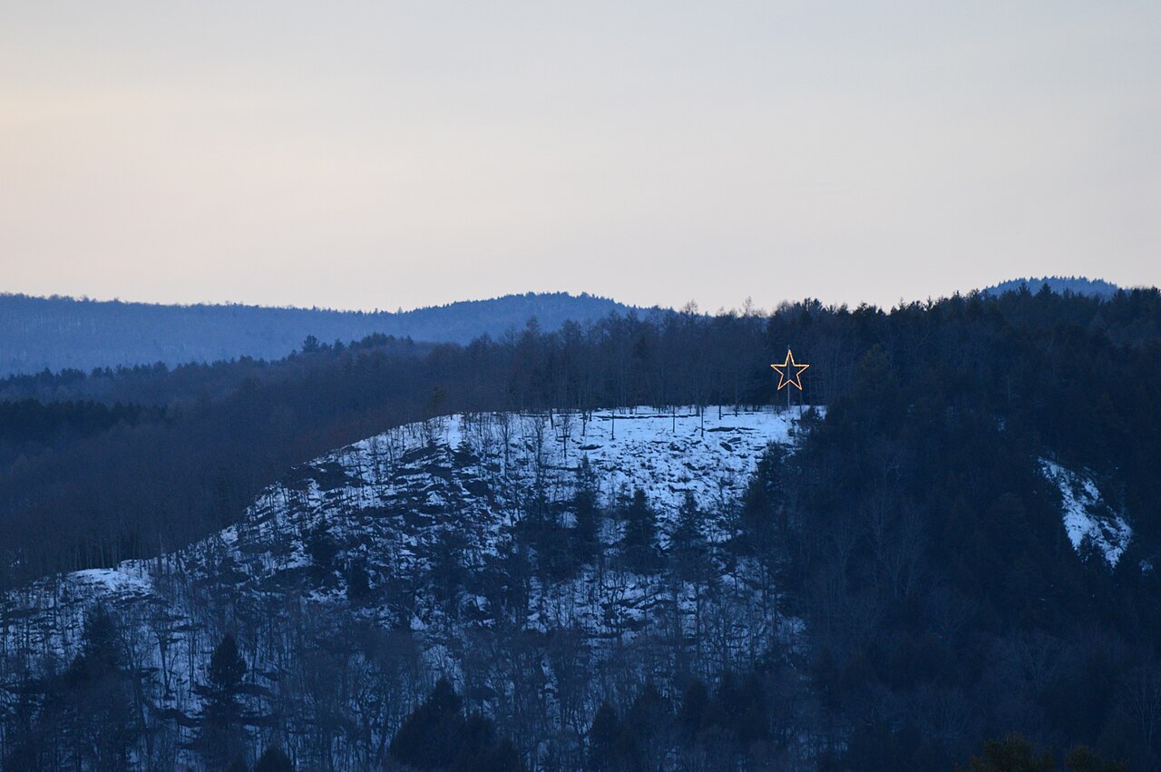
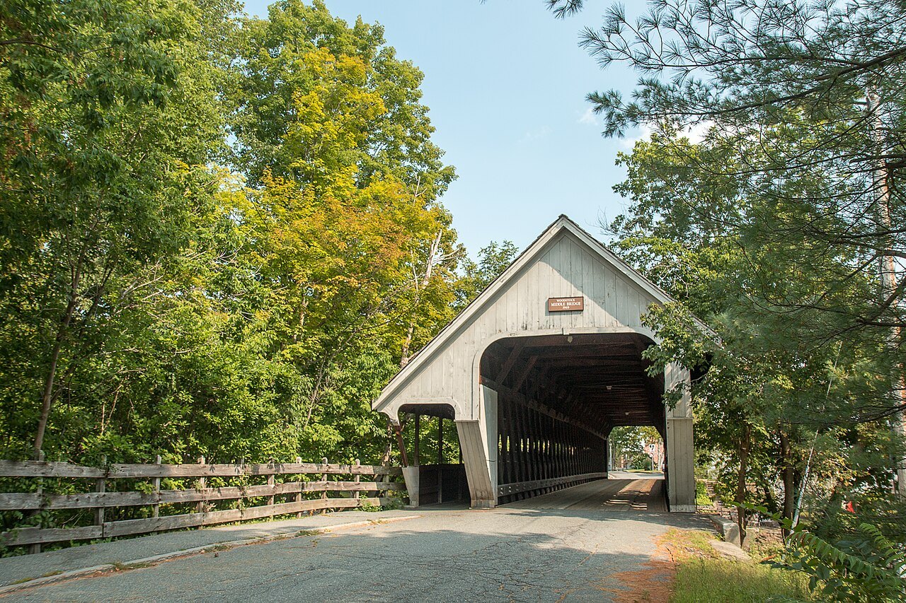
Woodstock, the Green, the river and the Rockefeller forest
Photographs: daveynin from United States, Wikimedia Commons, CC BY 2.0 · Efitzpatrick1413, Wikimedia Commons, CC BY-SA 4.0 · Andrea Schaffer, Wikimedia Commons, CC BY 2.0
The cities · The Valleys and Villages
Woodstock is the county seat of Windsor County, a village of Federal and Greek Revival houses around a long green beside the Ottauquechee River, with a national park and a working farm museum at its edge.
- The GreenA long central square bordered by restored late Georgian, Federal and Greek Revival houses.
- Marsh-Billings-Rockefeller ParkThe only unit of the National Park System in Vermont apart from the Appalachian Trail.
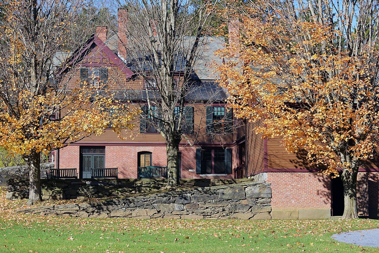
- Billings Farm and MuseumAn operating dairy farm with a restored 1890 farmhouse and a museum of rural life.
- F. H. Gillingham and SonsA general store in its original building at 16 Elm Street, established in 1886.
- Park Street and Elm StreetHonored by the American Planning Association's Great Places in America program in 2011.
- BookstockA June literary festival held on and around the village green.
Why it matters
Woodstock is the shire town of Windsor County and had 3,005 residents in 2020 across four villages: Woodstock itself, South Woodstock, Taftsville and West Woodstock. The Ladies' Home Journal once named it the Prettiest Small Town in America, and in 2011 North and South Park Street and one block of Elm Street won the American Planning Association's streetscape award. The economy is now largely driven by tourism, and a high share of the homes are owned by non-residents.
For a visitor, the appeal is a complete village: a green framed by houses, three churches placed to close the views, a courthouse, a general store that has stayed in its original building, and, a short walk away, a forest and a farm that tell the story of how the town was shaped. The village is covered here, while the forest has its own page, Marsh-Billings-Rockefeller. The town itself has a total area of 44 square miles, and the Ottauquechee River flows through it.
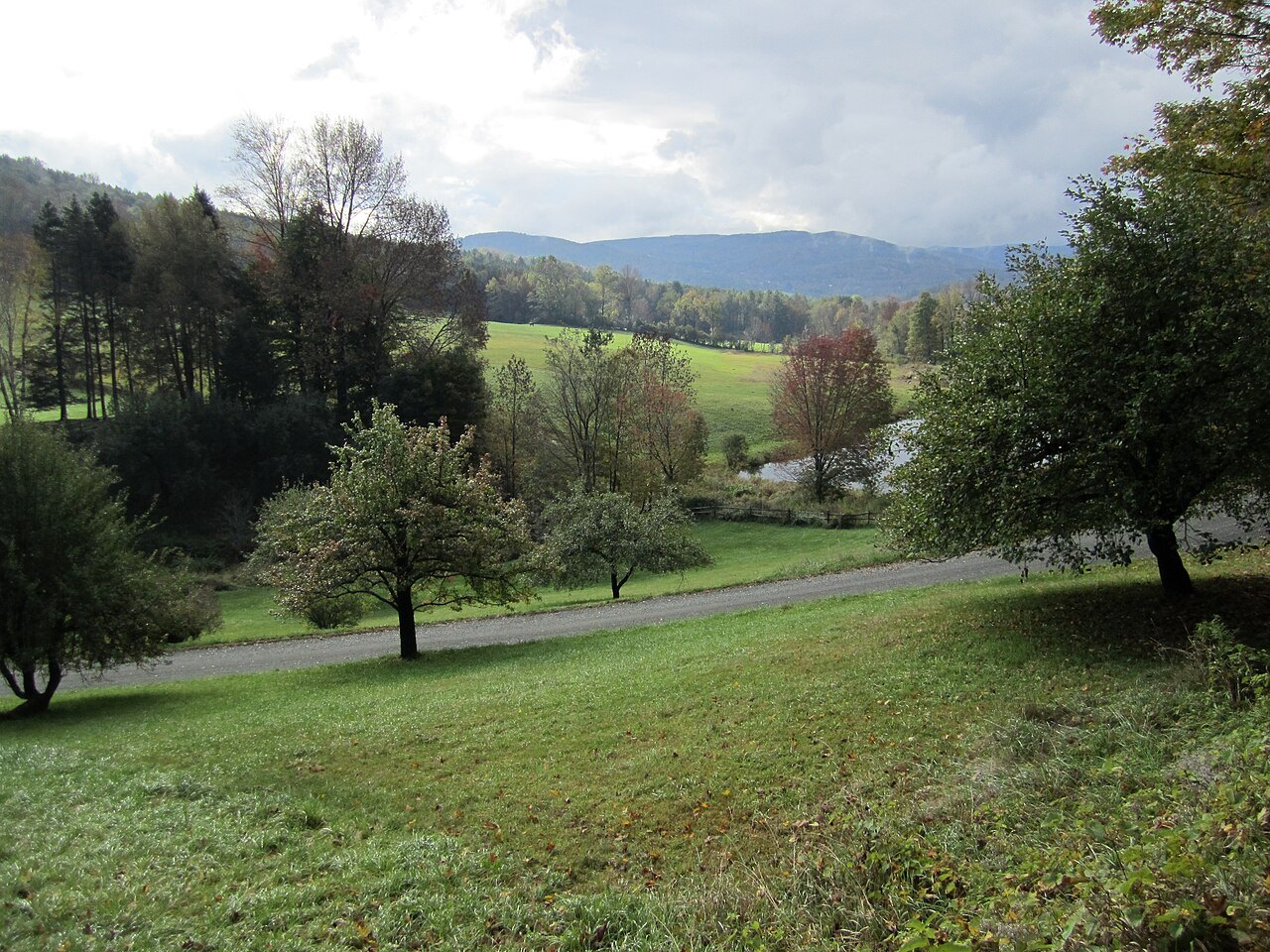
From grant to green
Woodstock was chartered by Governor Benning Wentworth on July 10, 1761, a grant to David Page and 61 others. It was settled in 1768 by James Sanderson and his family, and in 1776 Joab Hoisington built a gristmill, followed by a sawmill, on the south branch of the Ottauquechee River. The town was incorporated in 1837.
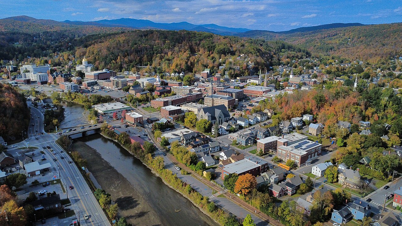
The Revolution slowed settlement, but Woodstock developed rapidly once the war ended in 1783. The Vermont General Assembly met here in 1807, before moving in 1808 to the new capital at Montpelier. Waterfalls in the river powered mills that made scythes and axes, carding machines, woolens, furniture, wooden wares and window sashes, among much else.
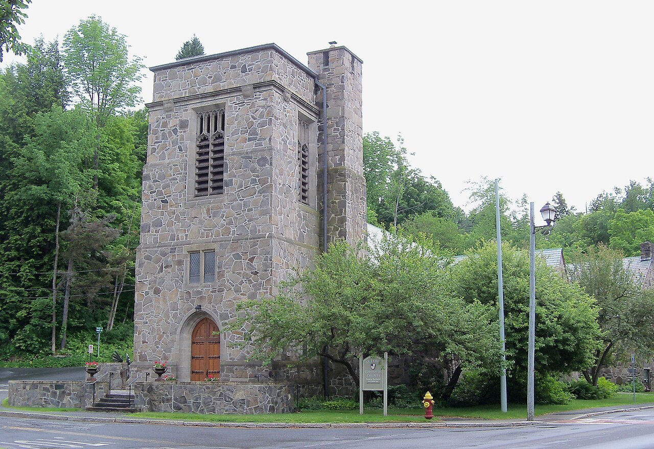
How the village was laid out
The author and architect Witold Rybczynski analyzed the layout of Woodstock in a book on urban life. The plan, he wrote, seems dictated by the site: a narrow, flat valley hemmed in by the sweeping curve of the river on one side and a small creek on the other, with the green laid out lengthwise on the peninsula between them so that many plots have gardens running down to the riverbank. Rybczynski saw in the result the informal and unwritten rules that govern where a building may stand.
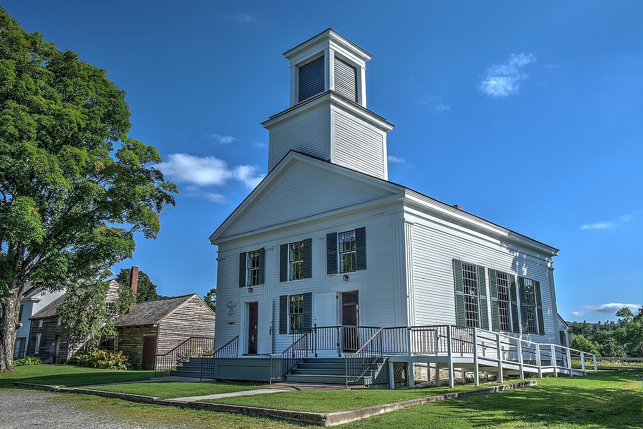
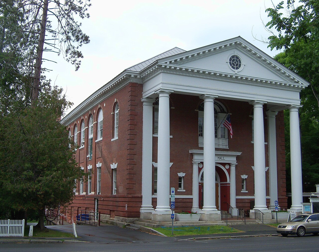
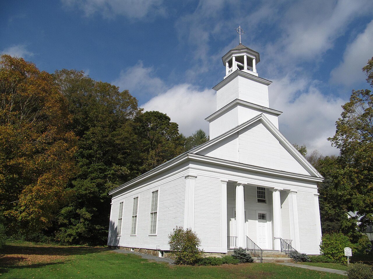
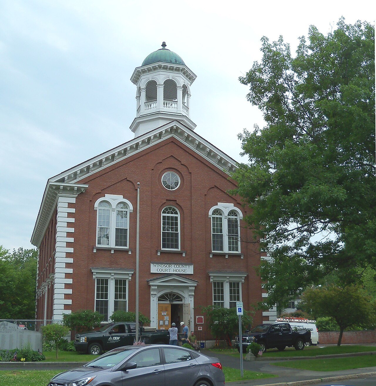
The builders knew that important buildings needed important sites. The Episcopal church is at the head of the green, the Methodist farther down, and the Congregational church closes the view of Pleasant Street where it ends at Elm Street. On the green itself, pride of place is shared by private homes on one side and the courthouse and the Eagle Hotel on the other. Stores, banks and the post office stand on two adjacent streets, close to the sidewalk, side by side, with only buildings of public function standing free. Woodstock, he noted, has no zoning.
The Rockefellers and the village
The Rockefellers have had an enormous impact on the town as it exists today. They helped preserve its nineteenth-century architecture and rural feel. In the late 1960s they tore down the Woodstock Inn, a Victorian building reconstructed in 1892 from the old Eagle Hotel, and put up a neo-colonial one farther back from the street; Laurance and Mary French Rockefeller also had the village's power lines buried.
The town maintains free community wi-fi across most of the village, called Wireless Woodstock. The Green is bordered by restored houses, and the cost of real estate in the district next to it is among the highest in the state, which is why the village is so well preserved.
The farm, the park and the store
The Billings Farm and Museum is a local attraction on land and a farmhouse once owned by Laurance Rockefeller and his wife; it includes an operating dairy farm and a restored 1890 farmhouse. Each October the farm holds Harvest Weekend, with a husking bee, a barn dance and nineteenth-century harvest activities.
The Marsh-Billings-Rockefeller National Historical Park is the only unit of the National Park System in Vermont, apart from the Appalachian Trail. It preserves the site where Frederick Billings established a managed forest and a progressive dairy farm. F. H. Gillingham and Sons, at 16 Elm Street, was established in 1886 by Frank Henry Gillingham and stands in its original building.
Frederick Billings, the man behind the forest and the farm, was born in Royalton, Vermont, in 1823, and his family moved to Woodstock when he was 12. He graduated from the University of Vermont in 1844 and became a lawyer, made his name in land-title cases in the early years of California's statehood, and was a millionaire by the age of 30. He led the Northern Pacific Railway as its president from 1879 to 1881, and he died at his Woodstock home in 1890.
Events and getting here
Bookstock, the annual literary festival, is held in June on and around the green and has drawn authors and poets such as Julia Alvarez, Billy Collins, Sy Montgomery, Richard Russo and Ocean Vuong. Wassail Weekend takes place in early December.
The town is crossed by U.S. Route 4 and Vermont Routes 12 and 106. Interstate 89 does not pass through the town; Exit 1, in nearby Quechee, serves it. Vermont Translines runs a daily intercity bus route between Rutland and Lebanon that stops in Woodstock, and the nearest regular public transportation hubs are White River Junction, 12 miles east, and Rutland, 48 miles west. The getting here page covers the larger picture.
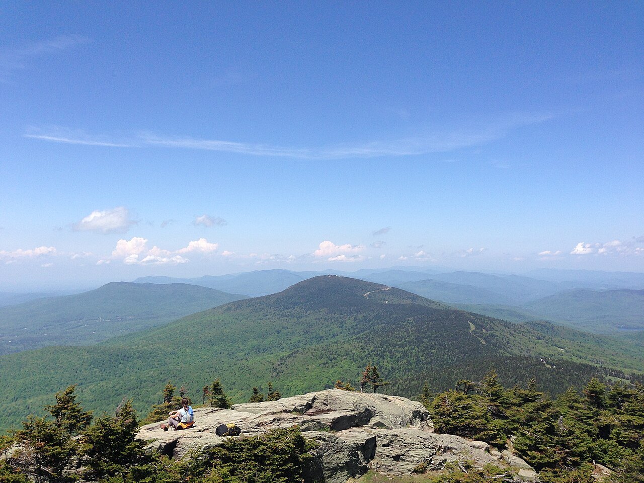
The Ottauquechee River, which runs through the village, rises in the Green Mountains in the town of Killington and flows 41 miles east to join the Connecticut River in Hartland, passing through the 165-foot-deep Quechee Gorge near Quechee State Park on the way; the Killington page covers its headwaters.