Getting to Vermont by air, train, bus, road and ferry
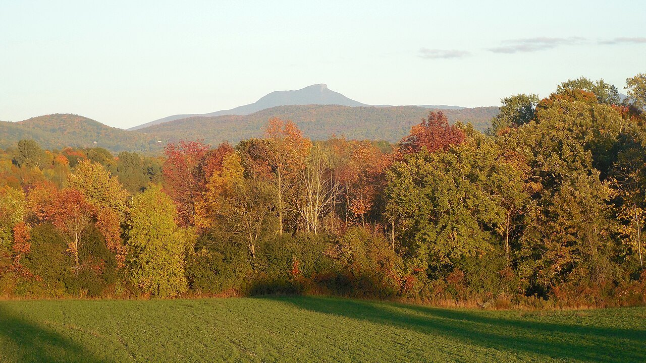
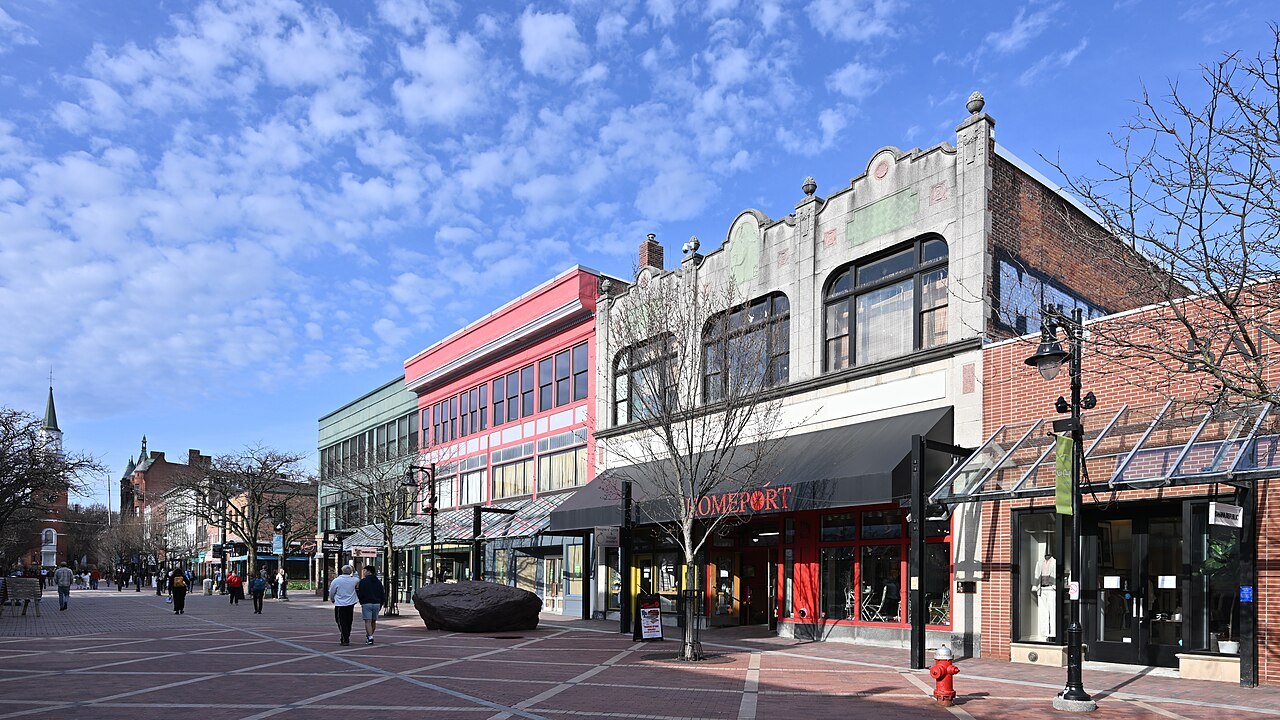
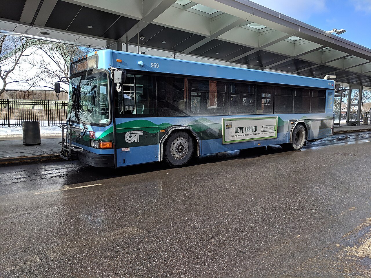
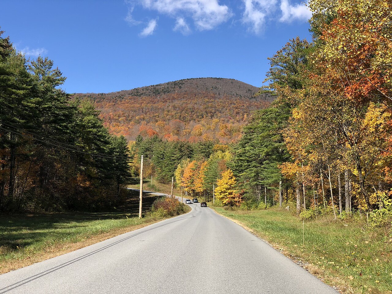
Photographs: 4300streetcar, Wikimedia Commons, CC BY 4.0 · 4300streetcar, Wikimedia Commons, CC BY 4.0 · 4300streetcar, Wikimedia Commons, CC BY 4.0
Access Vermont · Arriving
Vermont has one airport with mainline commercial service, two Amtrak trains, a state-subsidized bus network and two Interstate highways; this page sets the ways in side by side and says where each one leaves you.
Some links on this page are affiliate links. If you book through one we may earn a commission, at no extra cost to you. It does not affect what is recommended here, and no landmark or city page on this site carries one.
Car rental is the one booking this site points to, for a state best seen by car:
The ways in
- By air
Patrick Leahy Burlington International (BTV)
The only airport in Vermont with mainline commercial service, in South Burlington, about 3 nautical miles east of downtown Burlington. It is by far the busiest in the state, and about 40 percent of its passengers have come from Québec.
- By rail
The Ethan Allen Express
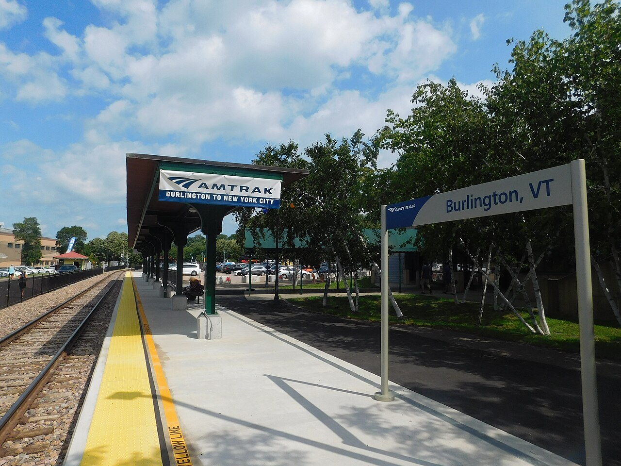
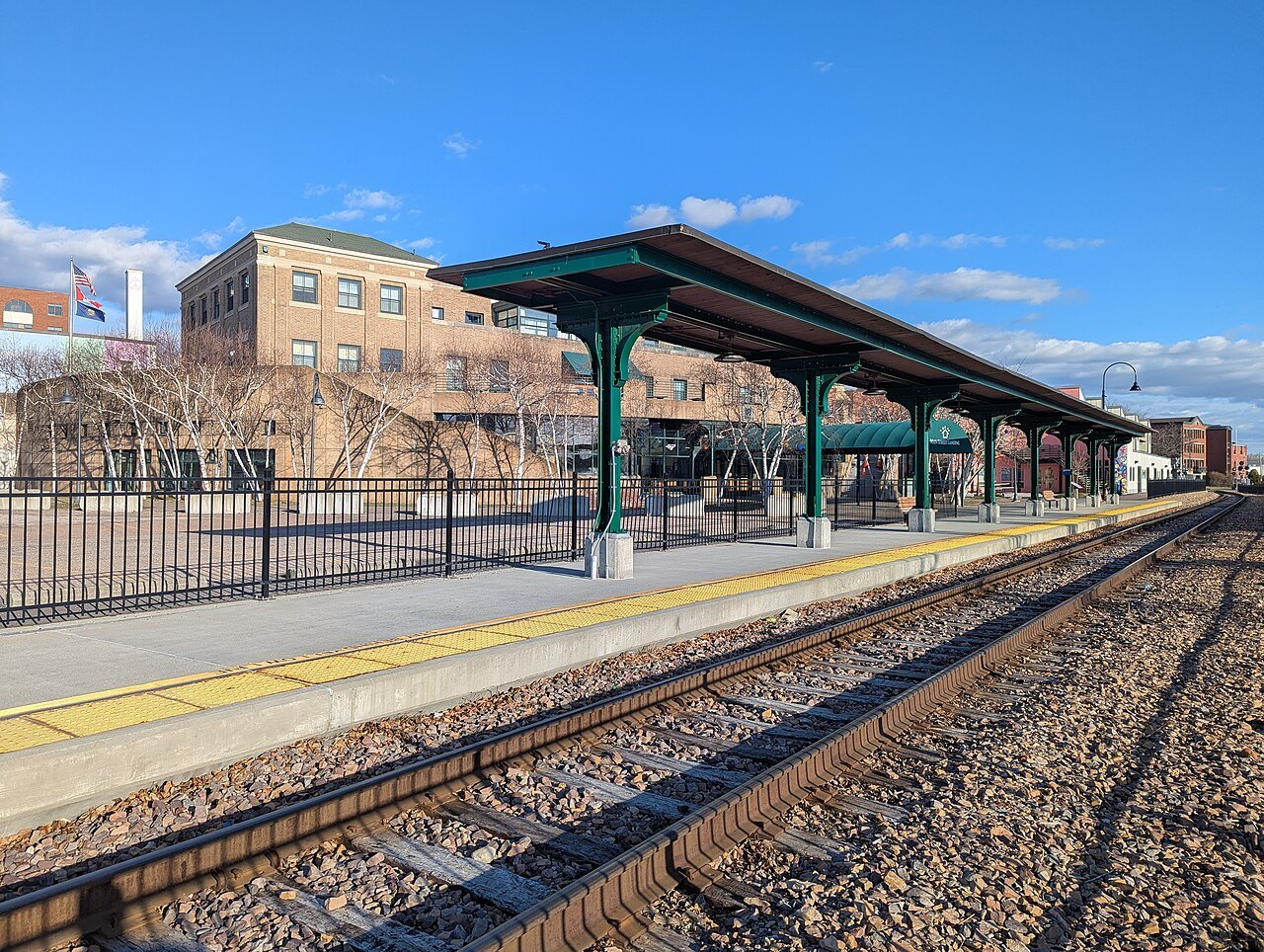
One daily round trip between New York Penn Station and Burlington by way of Albany, Rutland, Middlebury and Vergennes; the Burlington extension began on July 29, 2022. The Burlington station is Union Station on the waterfront.
- By rail
The Vermonter
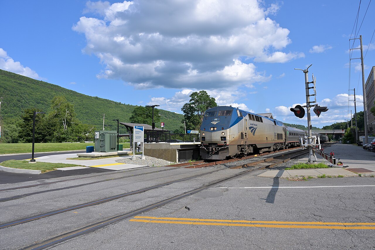
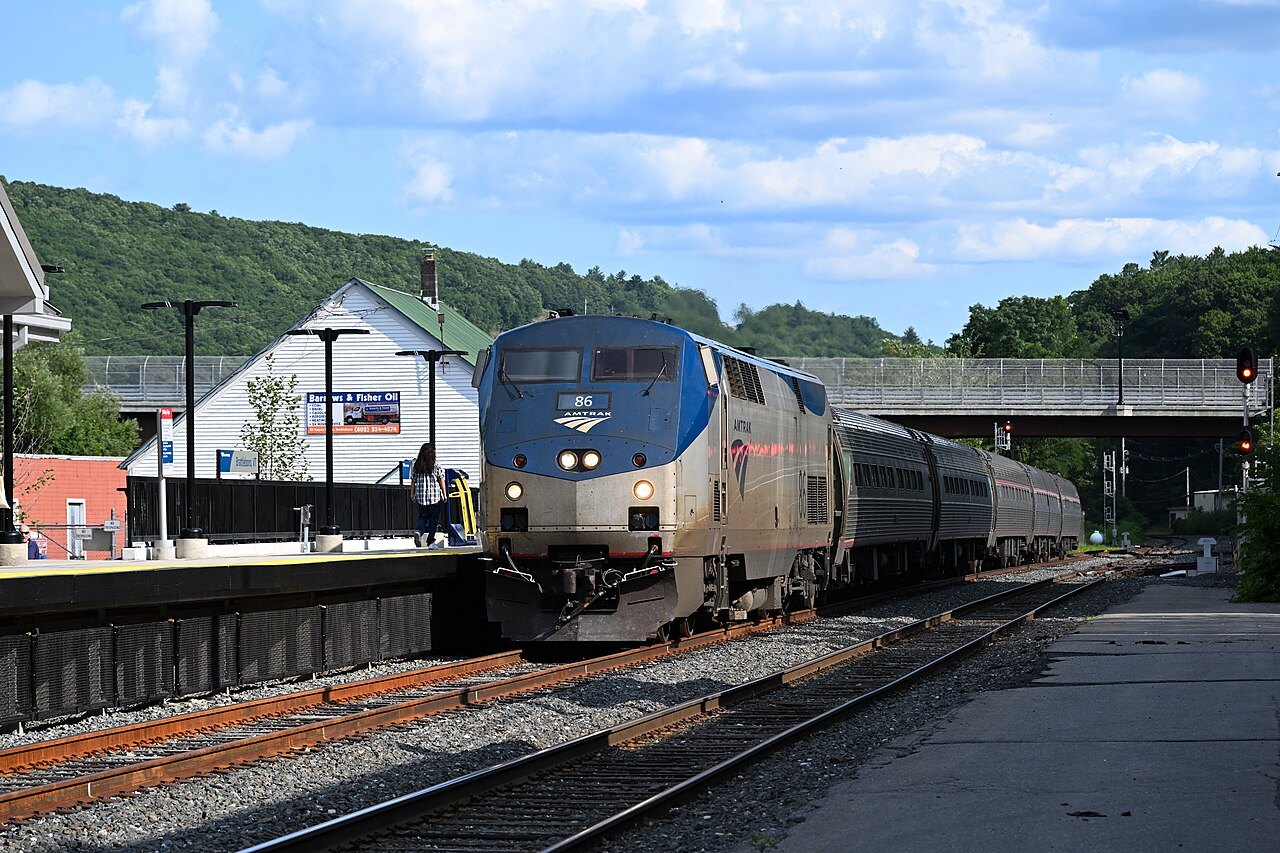
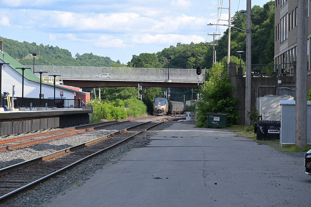
Amtrak's daytime train between St. Albans and the national capital, by way of New York, serving Brattleboro, Bellows Falls, Montpelier's station 2 miles west of downtown and White River Junction. It replaced the Montrealer on April 1, 1995.
- By bus
Vermont Translines
An intercity bus company founded in 2013 that serves the U.S. Route 7 and U.S. Route 4 corridors, with one run in each direction a day on each of three routes, linked to Greyhound's network.
- By road
Interstates 89 and 91
I-91 enters at the Massachusetts line and follows the Connecticut River north; I-89 enters at the river near White River Junction and runs northwest through Montpelier and Burlington.
- By ferry
Lake Champlain ferries
Lake Champlain Transportation Company runs car ferries from Burlington, Charlotte and Grand Isle across the lake to New York.
The short version
Most visitors reach Vermont by road, because the state has few scheduled flights and only a thin rail network. The two practical gateways by air are Burlington's own airport, at the lake, and airports in neighboring states, from which a drive of a few hours leads into the state. A visitor aiming for the southern or eastern side of Vermont tends to arrive by Interstate 91 or I-89; one aiming for the lake and the Champlain Valley can use the airport, the train or a ferry. None of the options is a full substitute for a car once you are in the state, and the other pages on this site assume you have one or can arrange one.
Whichever way you come, Vermont is a state where the last miles matter: the mountain roads, covered bridges and village streets that make the trip are not served by trains, and the getting around page explains what to do once you have arrived.
By air
Patrick Leahy Burlington International Airport, known as BTV, is owned by the City of Burlington but sits in neighboring South Burlington. It is the only airport in Vermont with mainline commercial service, it handles about 100 times the traffic of the state's second-busiest airport, and it was renamed in 2023 to honor the former senator. In 2019 it had 687,436 passenger boardings, which tells you its scale: a small regional airport, not a hub.
The airport also serves as the base of the 158th Fighter Wing of the Vermont Air National Guard. The first aircraft landed on the field on a Saturday in August 1920, and the airport was dedicated in 1921. For a trip to the southern part of the state, a flight to an airport across the Connecticut River, or by the train from the south, may be the shorter way in.
By train
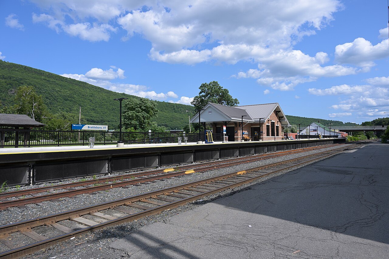
Two Amtrak trains serve Vermont. The Ethan Allen Express runs one daily round trip between New York Penn Station and Burlington via Albany, a 310-mile route, and since July 29, 2022 it has stopped at new stations in Middlebury and Vergennes; it began in 1996 as the first passenger service to Rutland since 1953 and was named for Ethan Allen, a cofounder of Vermont and a Revolutionary War figure. Its Burlington station, Union Station, was built on the waterfront in 1916.
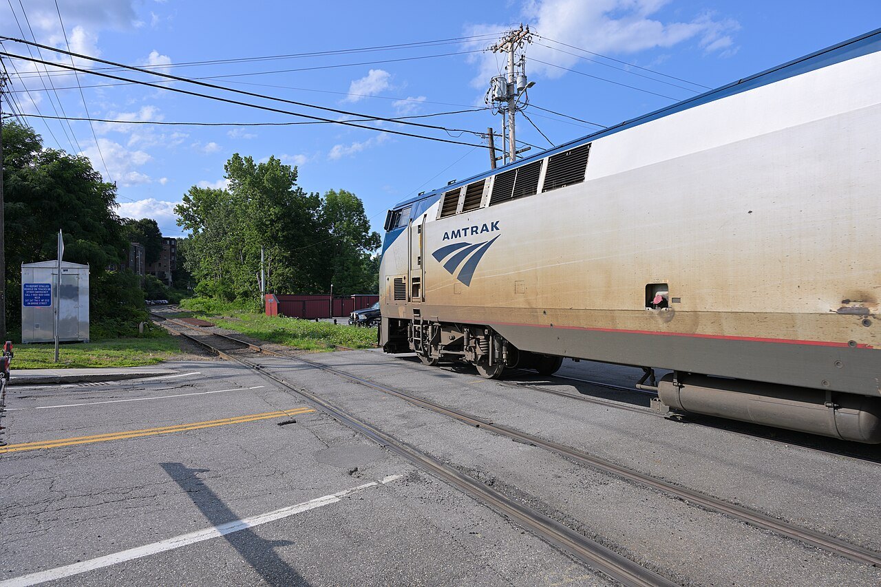
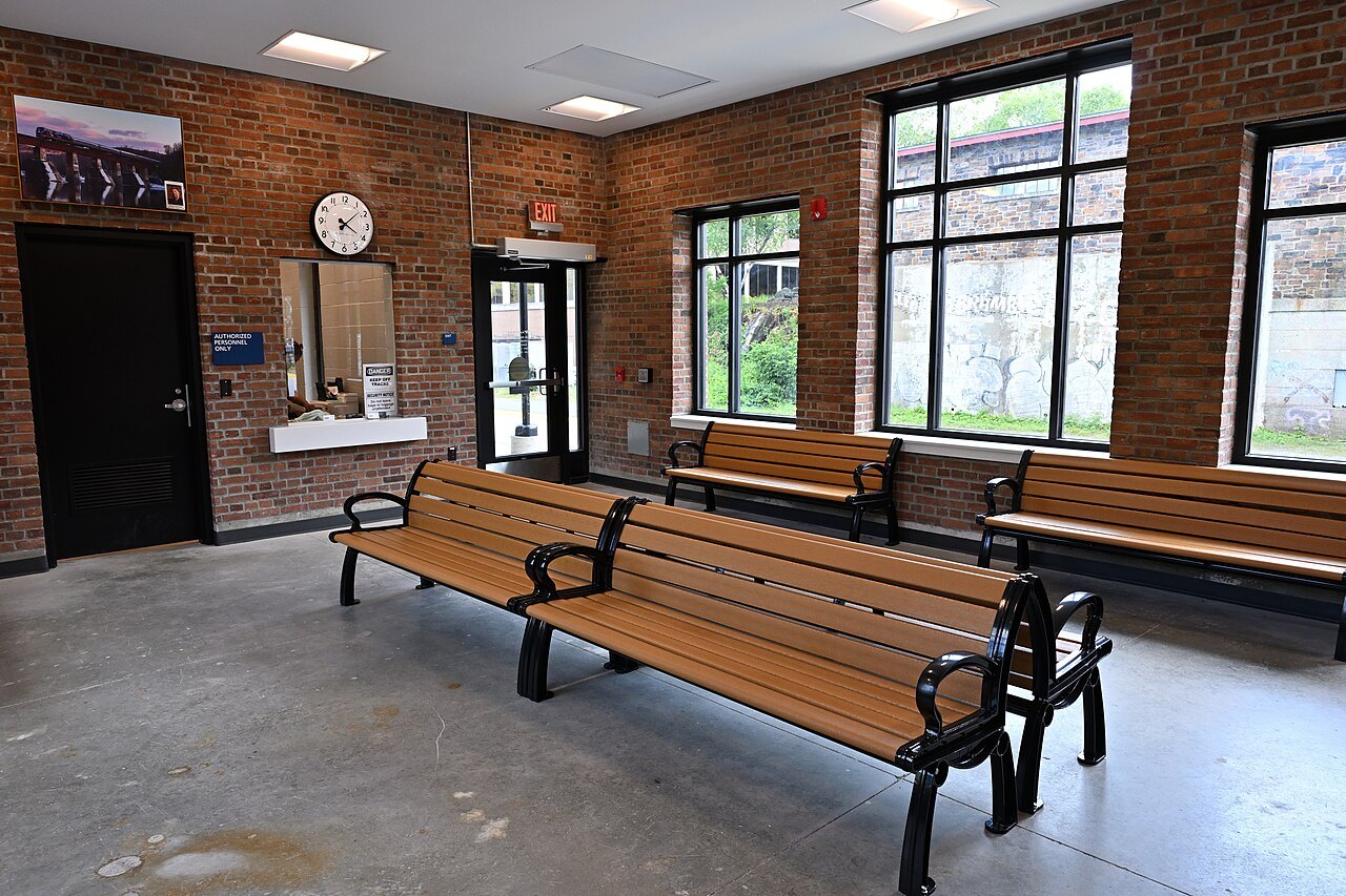
The Vermonter is the daytime train between St. Albans and the national capital. It replaced the overnight Montrealer on April 1, 1995, bringing daytime Amtrak service to Vermont, and in fiscal year 2025 it carried 115,940 passengers north of New Haven. Its Vermont stops put you in Brattleboro and Bellows Falls on the Connecticut River and in central Vermont near Montpelier, whose station lies 2 miles west of downtown, so plan a way to cover the last miles.
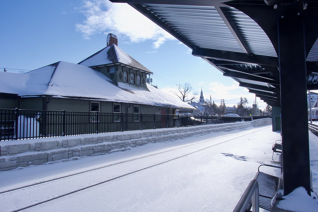
Check a train's timetable with Amtrak itself before building a trip around it. Ridership on the Vermonter was 99,280 at its pre-pandemic peak in 2019 and fell to 18,585 in fiscal year 2021 before rebounding, a reminder that service patterns shift, so the schedule you plan around should be the one in force when you travel.
By bus
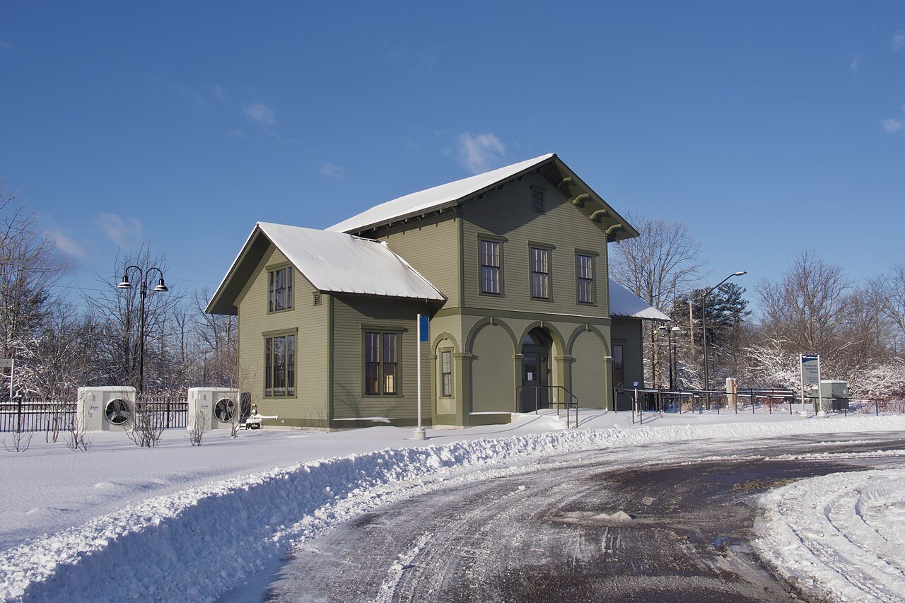
Vermont Translines, founded by the charter company Premier Coach in 2013, serves the U.S. Route 7 and U.S. Route 4 corridors and uses Greyhound's ticketing system, so it connects with other Greyhound services. All of its routes run every day of the year, with one run in each direction, and its Burlington to Albany route is also designated as an Amtrak Thruway. Its coaches have wi-fi, and the larger ones have power outlets.
Within the state, Green Mountain Transit, based in Burlington, is the largest public transit agency, serving Chittenden and Washington Counties with local and commuter buses; most local routes run seven days a week, and Rural Community Transportation operates service in other parts of the northern state.
The Vermont Shires Connector, an Amtrak Thruway bus that ran between the Albany–Rensselaer station and Manchester, stopping twice in Bennington, was started in August 2017 and ended in July 2021 when Vermont Translines resumed after the pandemic; the Albany link now runs through Translines.
By road
Vermont is built on two Interstates. Interstate 91 runs 177 miles through the state, from the Massachusetts line to the border at Derby Line, and follows the Connecticut River for much of the way; it is the main north–south route for the center of the state, and Brattleboro is the first major town a driver meets northbound. Interstate 89 is, as the road describes itself, the only Interstate that directly serves both the capital, Montpelier, and the largest city, Burlington; it crosses the Connecticut River near White River Junction, joins I-91 at its Exit 1, and then runs northwest through Barre, Waterbury and Burlington to the border. A short spur, I-189, begins at Exit 13 in South Burlington and leads toward the south end of the city.
U.S. Route 7 is the long western road, running from the Massachusetts line at Pownal through Bennington and on toward Rutland, Middlebury and Burlington, and U.S. Route 4 crosses the middle of the state toward Killington and Woodstock. These two-lane roads are the slower, scenic alternatives to the Interstates, and the scenic drives page puts them in order. I-89 keeps two lanes of traffic in each direction throughout its route.
By ferry from New York
Lake Champlain Transportation Company, headquartered in Burlington, runs car ferries from Charlotte, Grand Isle and Burlington across the lake to New York. One of the lines, from Grand Isle, runs year-round. The ferry is both a practical way to cross and a short scenic trip across the lake, covered on the Lake Champlain page.
Planning notes
Rail and bus schedules change, so check the operators' own timetables before building an itinerary around them, and allow for the fact that a train or coach drops you in a town, not at a trailhead. The when to come page covers the weather on the roads, including the muddy weeks of spring. The site does not sell, book or reserve any of these services.