Getting around Vermont: driving, buses, ferries and the notch road
Photographs: LunchboxLarry, Wikimedia Commons, CC BY-SA 2.0 · Sashimi-b, Wikimedia Commons, CC BY-SA 4.0 · Famartin, Wikimedia Commons, CC BY-SA 4.0
Access Vermont · The roads
Vermont has no subway and few trains, and the places worth visiting are mostly in the hills; this page explains what a car gives you, what the buses cover, where the ferries run and what changes with the season.
Some links on this page are affiliate links. If you book through one we may earn a commission, at no extra cost to you. It does not affect what is recommended here, and no landmark or city page on this site carries one.
Car rental is the one booking this site points to, for a state best seen by car:
The ways of getting around
- By road
Driving
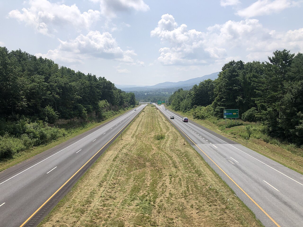
Two Interstates and a grid of numbered state roads, from the 216-mile Vermont Route 100 down the center of the state to U.S. Routes 7 and 4 east and west.
- By bus
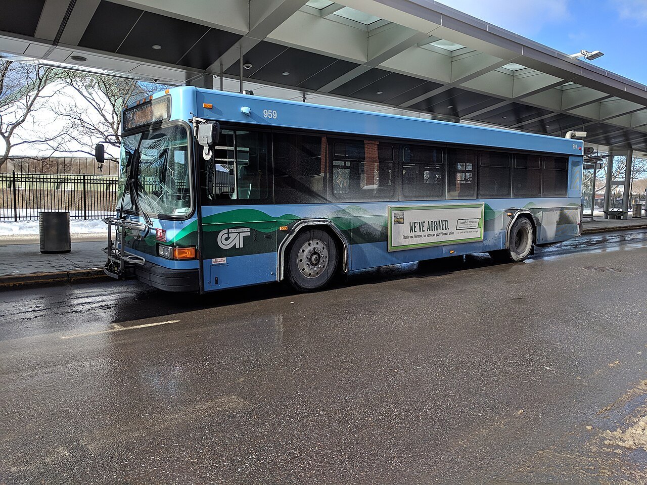
Green Mountain Transit
The state's largest public transit agency, based in Burlington, with local and commuter buses in Chittenden and Washington Counties; most local routes run seven days a week.
- By bus
Vermont Translines
One intercity run in each direction a day on each of its routes along U.S. Route 7 and U.S. Route 4, every day of the year.
- By ferry
Lake Champlain ferries
Car ferries from Burlington, Charlotte and Grand Isle carry vehicles, bicycles and foot passengers to the New York shore.
- By rail
Green Mountain Railroad
Runs between North Walpole and Rutland over former Rutland Railroad lines, with excursion trains from Bellows Falls.
- On foot
The Long Trail
A 273-mile hiking path on the main ridge of the Green Mountains, crossed by many of the state's mountain roads.
The short version
Vermont is a state of villages joined by two-lane roads, and for most visitors a car is the way to see it. The trains and buses connect the larger towns and the lake, but the notches, covered bridges, farms and lakes that fill the rest of this guide sit away from the stations. If you arrive without a car, plan to base yourself in one town, such as Burlington or Brattleboro, and move between places by bus or by arranged transport.
The site does not sell, book or reserve rentals, tickets or rides; this page only describes the options so that you can arrange them with the providers directly.
The road network
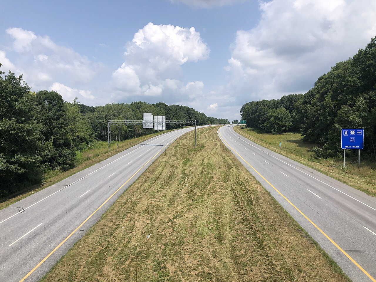
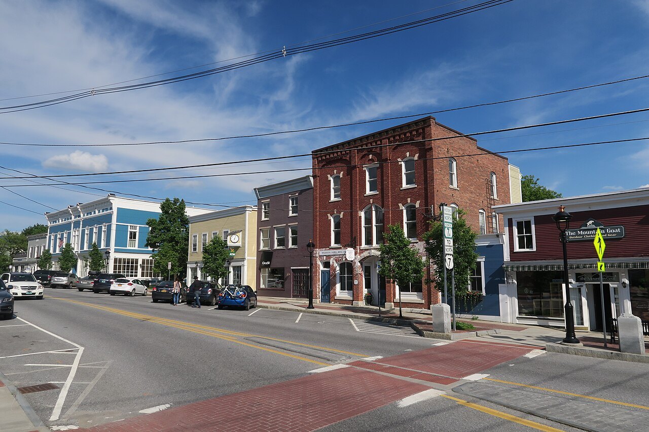
Two Interstates form the frame: I-91, which follows the Connecticut River from the Massachusetts line to the border, and I-89, which connects Montpelier, Burlington and White River Junction. Between them the grid is made of U.S. and state routes. U.S. Route 7, the Ethan Allen Highway, runs 176 miles along the western side of the state, mostly as a two-lane rural road, and U.S. Route 4 crosses the middle between Fair Haven and White River Junction through Killington and the Ottauquechee valley.
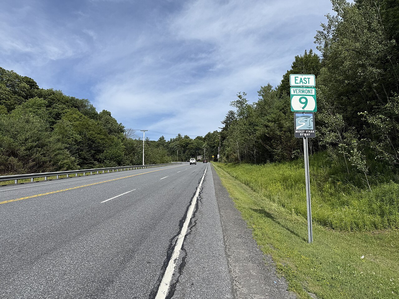
Vermont Route 100, the longest numbered highway in the state at 216 miles, runs from the Massachusetts line at Stamford to Newport, along the eastern edge of the Green Mountain National Forest and through the Mad River Valley. It is the main thoroughfare for the resort towns, including Wilmington, Ludlow, Killington, Warren and Stowe, and it is the road that the homepage uses as its spine. Vermont Route 9, the Molly Stark Trail, crosses the southern Green Mountains between Bennington and Brattleboro.
U.S. Route 4 crosses the Ottauquechee River on the Quechee Gorge Bridge, above a gorge 165 feet deep, and the bridge gives good views down into it. It is one of the few places where a main road doubles as a viewpoint; the Killington page and the Woodstock town page cover the road's two best-known stops.
Mountain roads and notches
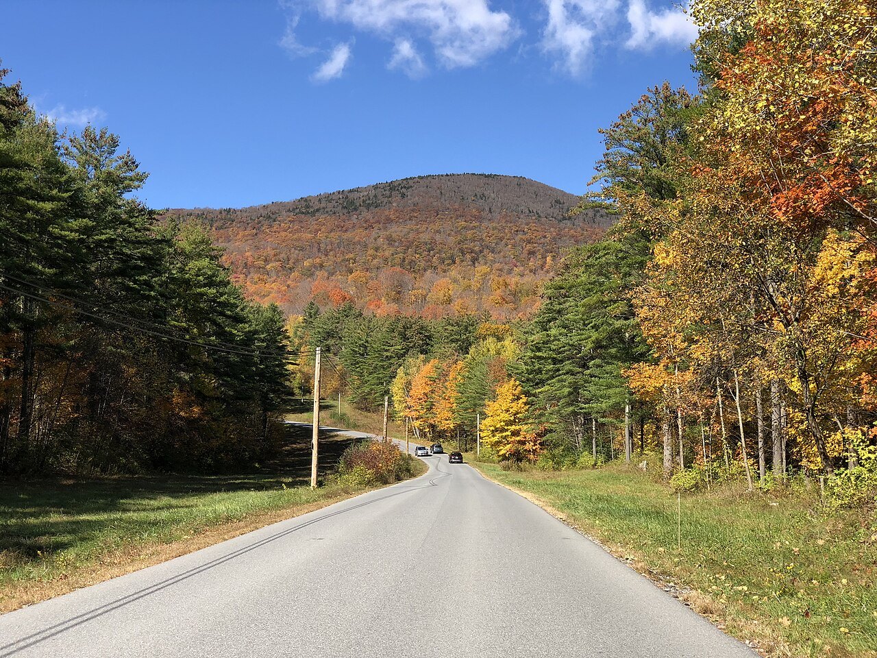
Several of the best roads climb through gaps in the range, and they behave differently from the valley roads. Vermont Route 108 climbs through Smugglers' Notch between Stowe and Jeffersonville. The road is very steep and winding, which makes it impossible to plow in the winter, so the state closes it between the state forest access parking lot and the resort, usually from late October until May, and tractor-trailers are barred. The state park there offers year-round recreation, but access in winter is limited to snowmobiles and skiers.
Treat any mountain road as slower than the map suggests, and check the state's road information before relying on a notch road, particularly in the shoulder seasons. After storms such as Tropical Storm Irene in 2011, the state rebuilt many segments of Route 100, which is why a road in good condition one year may have construction the next.
Buses
Green Mountain Transit, formed from the merger of the Chittenden County Transportation Authority and the Green Mountain Transit Authority in 2011, is the largest public transit agency in the state. It runs local and commuter buses, mainly in Chittenden and Washington Counties, through the Downtown Transit Center in Burlington; most local routes operate seven days a week. Buses around Newport and the Northeast Kingdom are run by Rural Community Transportation, which is based in St. Johnsbury.
Vermont Translines runs intercity coaches along the U.S. Route 7 and U.S. Route 4 corridors on every day of the year, with one run in each direction a day. In a state this size the practical rule for buses is to read the timetable first: a single daily run is a plan, not a convenience.
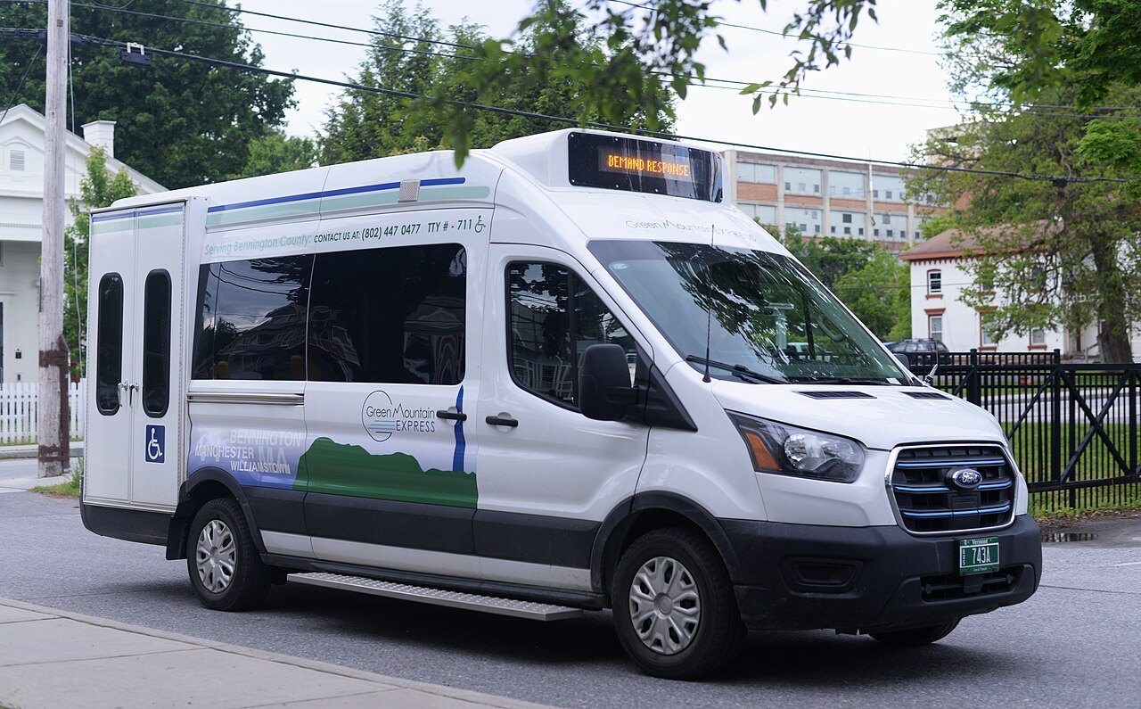
Green Mountain Transit also runs shuttle buses on its mountain routes, among them a Mountain Road shuttle, and a handful of routes run once a week in the morning to and from senior housing, though the public is welcome on them. A visitor in the Burlington area can ride the local buses for a day of town sights, and the hub at the Downtown Transit Center is the place where the lines meet.
Ferries and trains
Lake Champlain Transportation Company runs three routes across the lake between Vermont and New York, at Charlotte, Burlington and Grand Isle. All of its ferries carry cars, trucks, bicycles and foot passengers on a roll-on, roll-off design, and the lake is up to 12 miles wide, and there is no bridge across the broad lake between Crown Point and the crossing at Rouses Point, Alburgh and Swanton, so the ferries are the way across. The ferries are described on the Lake Champlain page.
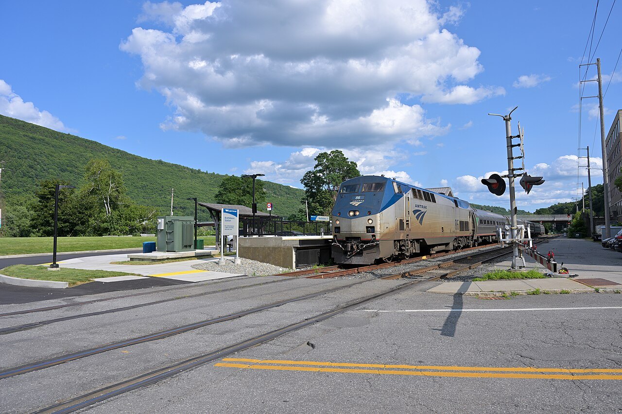
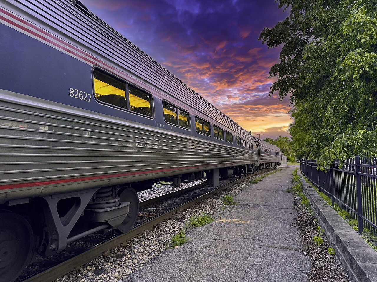
Rail inside the state is mostly freight, with passenger trains on the Amtrak lines described on the getting here page. The Green Mountain Railroad runs between North Walpole and Rutland over former Rutland Railroad lines, and it has run excursion trains out of Bellows Falls since it developed its own excursion operations after 1983.
On foot and by bike
The Long Trail runs 273 miles along the main ridge of the Green Mountains from the Massachusetts line to the border, and it is the oldest long-distance hiking trail in the United States, built between 1910 and 1930 by the Green Mountain Club. It shares about 100 miles of its southern third with the Appalachian Trail. Many of the state's roads cross it, which makes a day section easy to reach; see the Green Mountains page for the range itself.
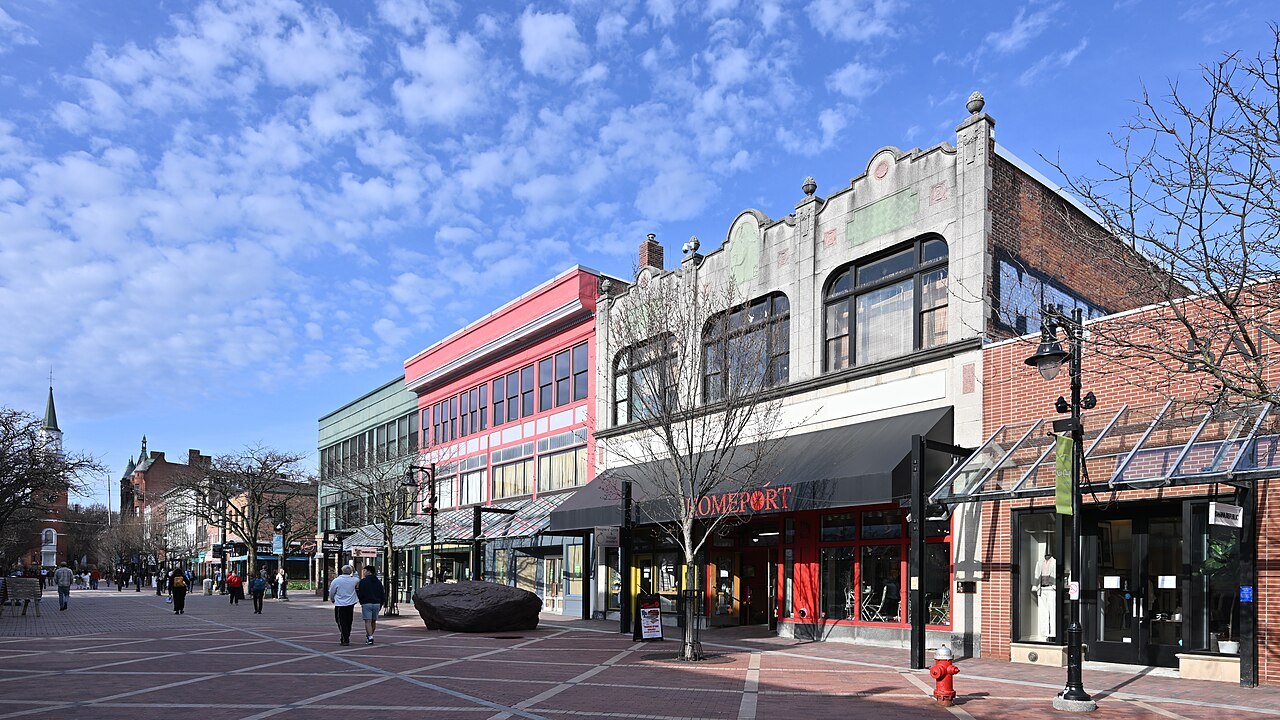
In towns the picture is different. Burlington's Church Street Marketplace is a pedestrian mall, Stowe has a recreation path from the village toward the TopNotch Lodge, and Montpelier and Woodstock are small enough to walk.
The Appalachian Trail enters Vermont at the Massachusetts line and runs with the Long Trail for roughly 100 miles before turning east toward the Connecticut River at Maine Junction in Killington; it is the other hiking trail that crosses the state's roads.
Planning your days
Allow more time than the distances suggest. A 40-mile drive on a two-lane road through villages can take far longer than the same distance on an Interstate, and in fall and winter Route 100 is heavily traveled. Fuel and food can be far apart in the northern hills, so top up before leaving a main road. The itineraries page builds days around the driving times you will meet in practice, and the when to come page covers the seasons.