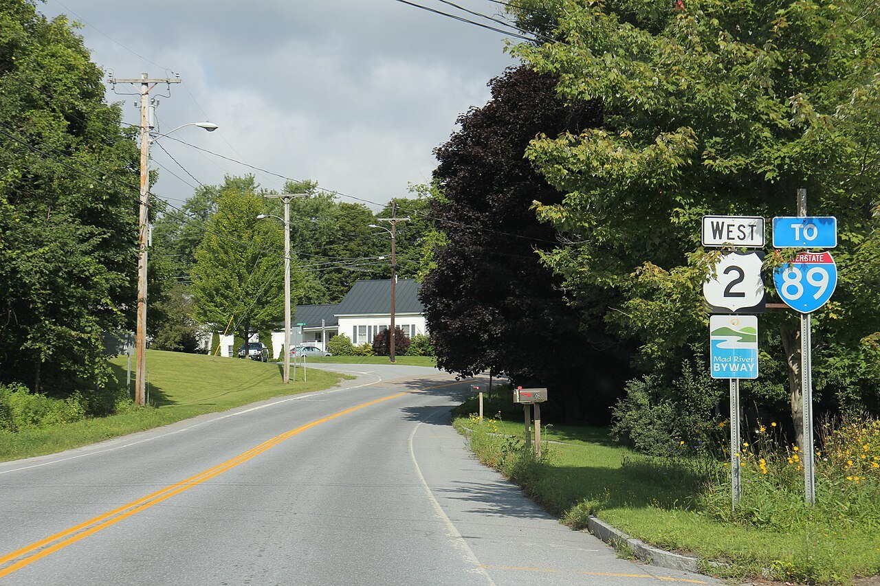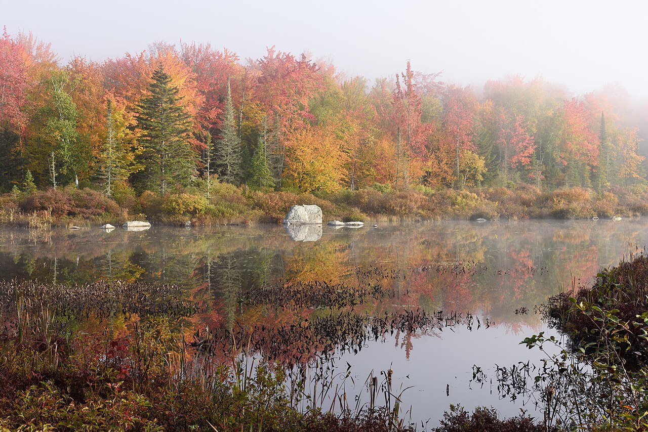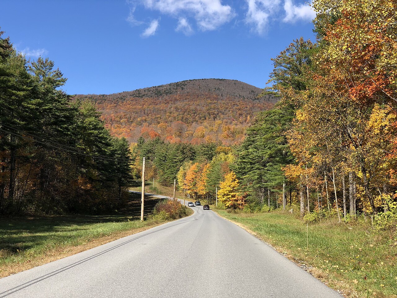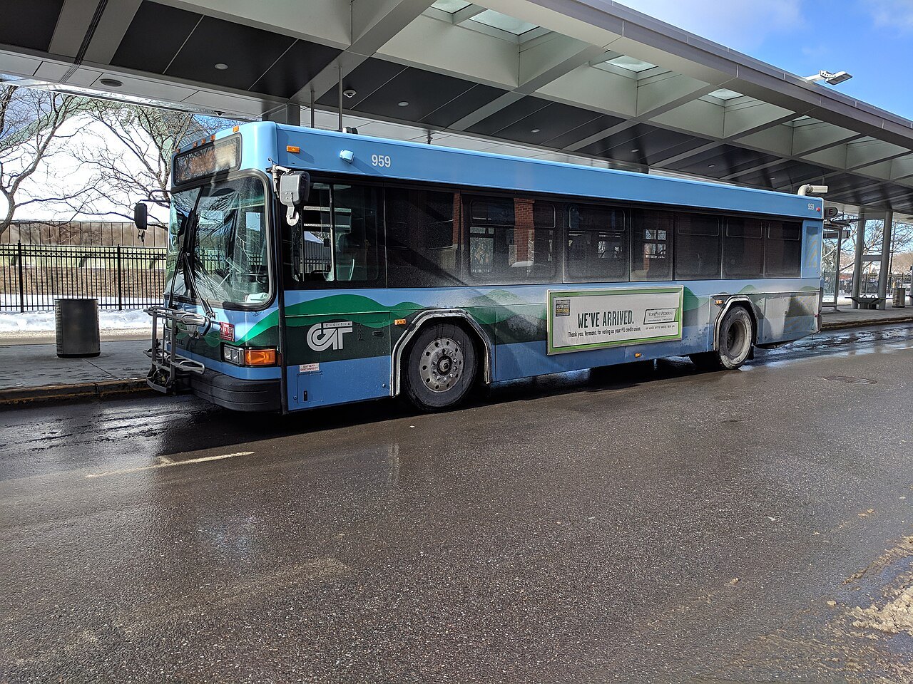
Eight Vermont towns and cities, from Burlington to Newport
Photographs: G. Edward Johnson, Wikimedia Commons, CC BY 4.0 · HeyTomek, Wikimedia Commons, CC0 · Niranjan Arminius, Wikimedia Commons, CC BY-SA 4.0
Access Vermont · Eight towns
Vermont has one city of any size, a smallest-in-the-country capital and a string of villages; these eight towns are the bases for the landmarks, from the lake at Burlington to Lake Memphremagog at Newport.
The eight towns
The Champlain Valley
The Green Mountains
The Valleys and Villages
Southern Vermont
The Northeast Kingdom
Small places, one at a time
Burlington, the largest city, has 44,743 people; Montpelier, the capital, has 8,074; the other six are towns and villages of a few thousand to about twelve thousand. That is the scale of Vermont: nothing here is large, and the pleasure is in the particular. Each of the eight pages explains what a place is, how it came to be, what to see and how to reach it.
The towns are also the bases. The where to stay page ranks them by what lies within reach of each, and the itineraries page strings them into trips.
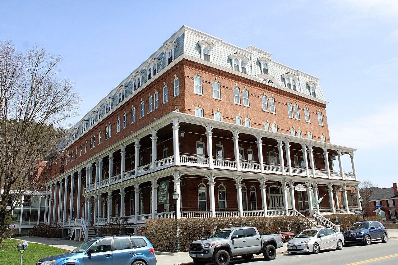
The eight in numbers
Burlington had 44,743 people at the 2020 census; Brattleboro had 12,106 in 2022; Middlebury had 9,152; Montpelier had 8,074; Stowe had 5,223; Newport had 4,455; Woodstock had 3,005; and the village of Bellows Falls had 2,747. Their combined population is about 90,000, so the guide describes the state's character through small places.
Their histories rhyme. Burlington, Stowe and Woodstock were chartered in the 1760s as New Hampshire grants, Montpelier in 1781 and Middlebury in 1761; the railroads reached Bellows Falls and Montpelier in 1849, Newport in 1863. Water powered most of them, in mills at the falls of Otter Creek, the Ottauquechee, the Winooski, the Whetstone Brook and the Connecticut River.
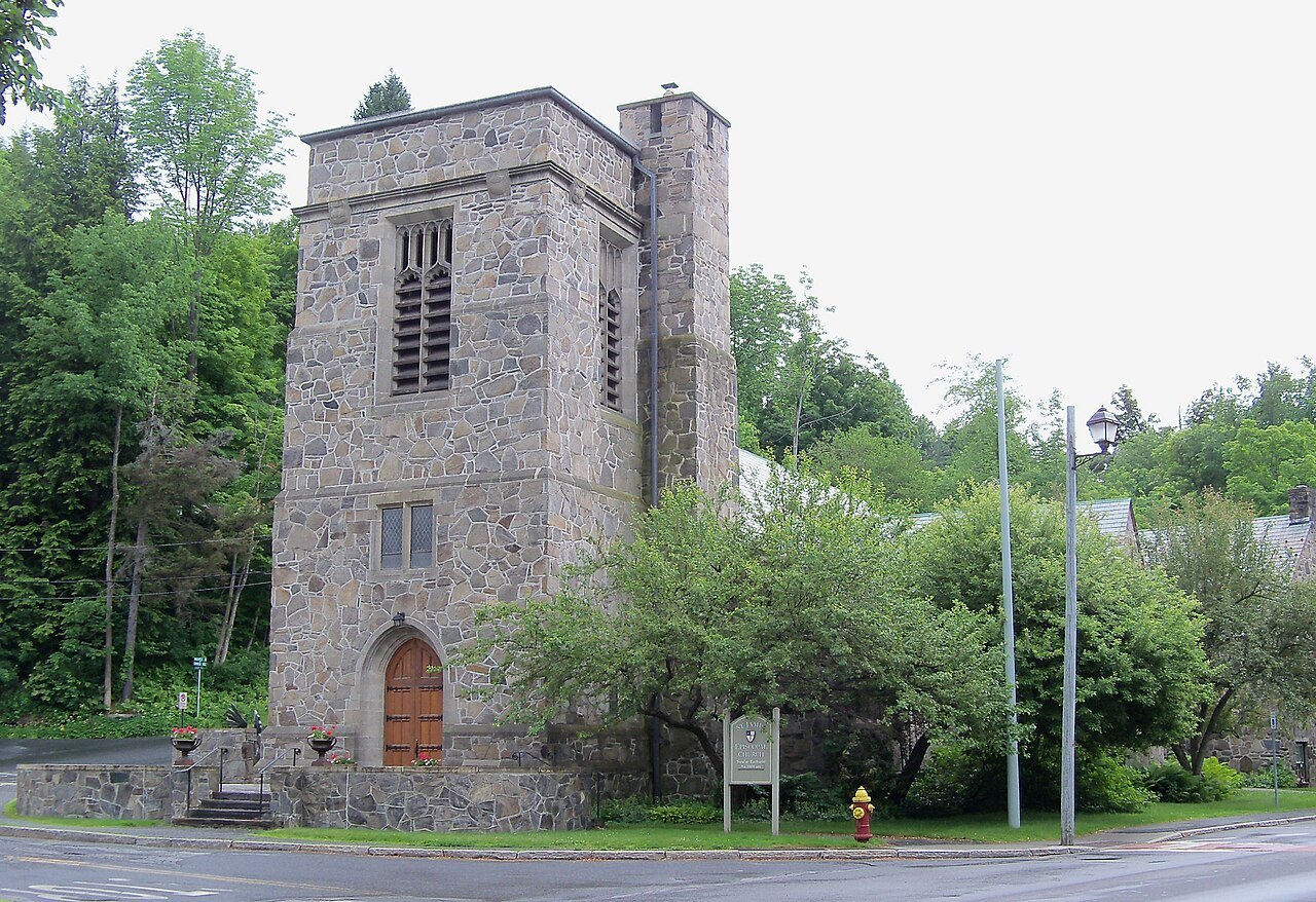
The Champlain Valley
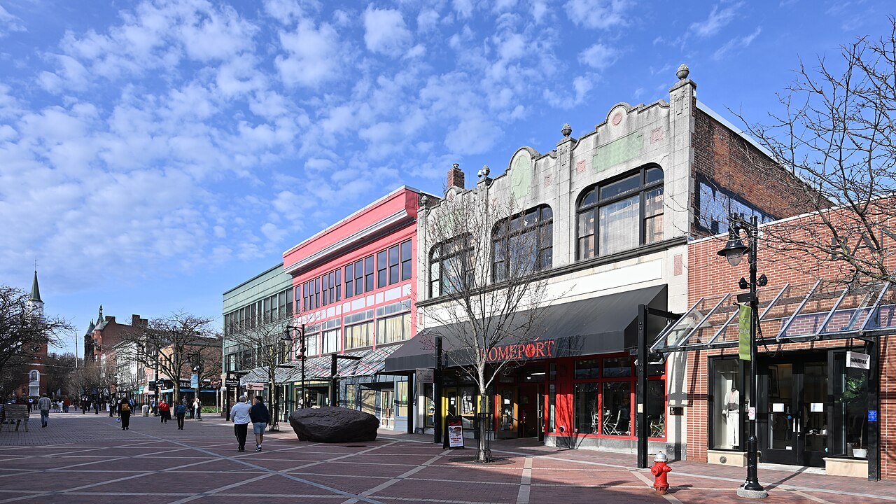
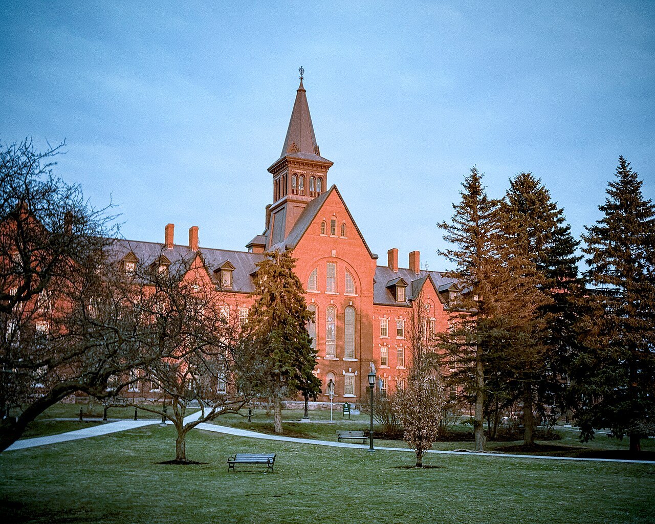
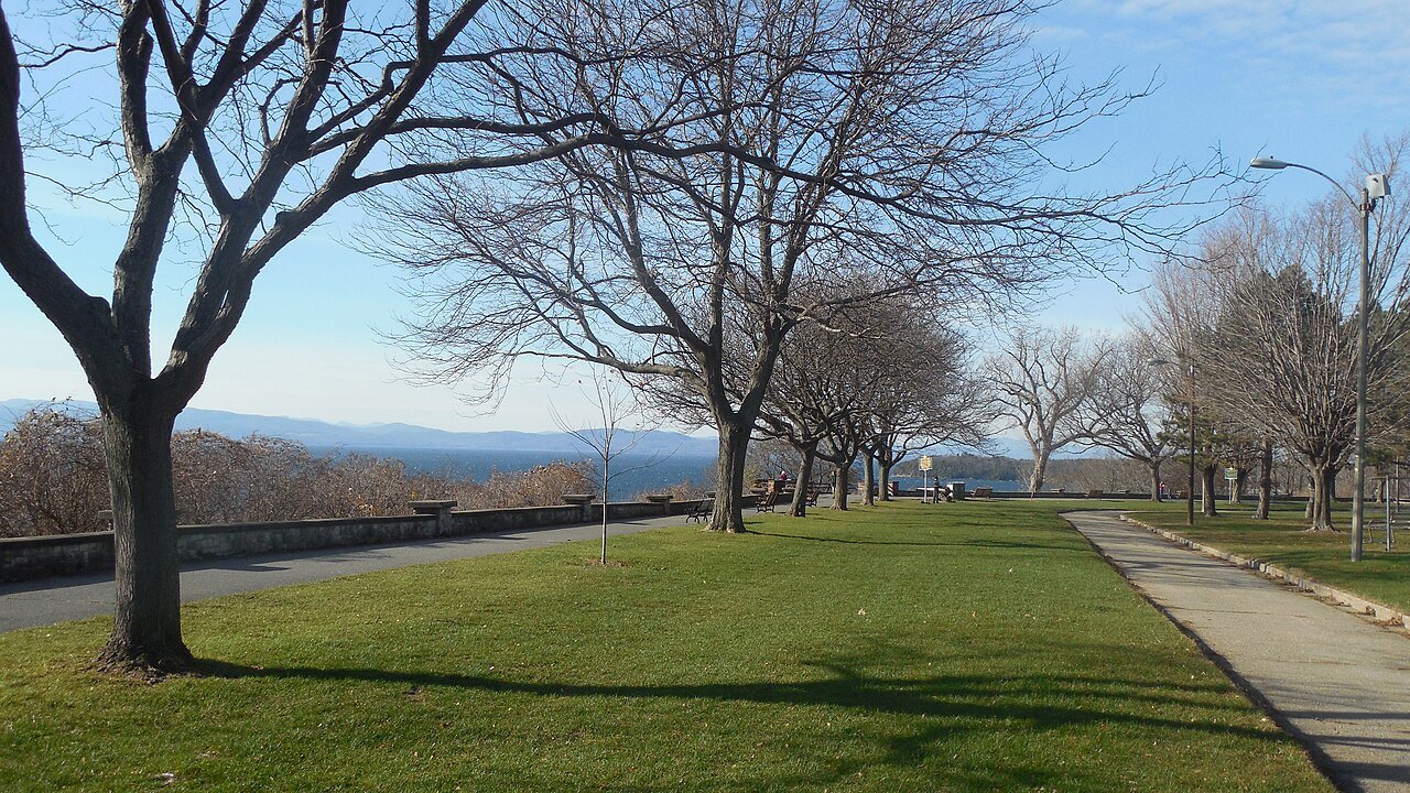
Burlington is the most populous municipality in Vermont and the least populous US city to be the most populous in its state. It has the four-block Church Street Marketplace, the Breakwater built from 1836 to 1890, the University of Vermont, founded in 1791, and the first of Vermont's four Carnegie libraries.
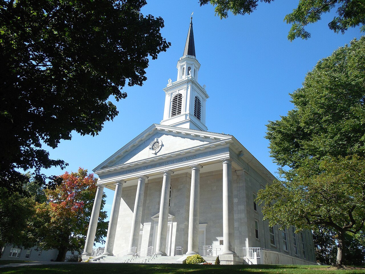
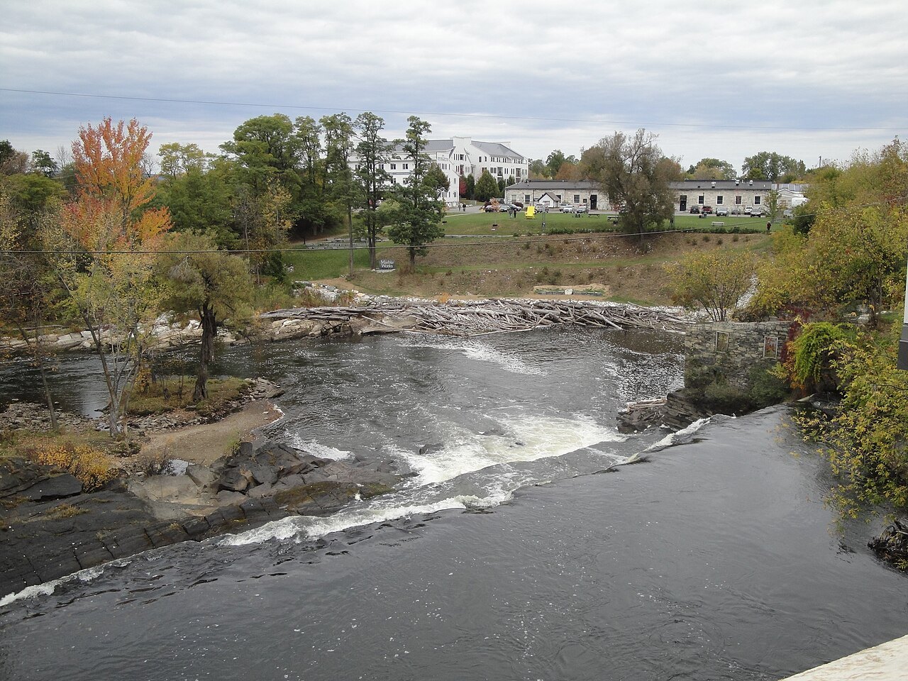
Middlebury is the county seat of Addison County, home of Middlebury College, chartered in 1800 as the first operating college in the state. The village grew around the falls of Otter Creek, and the college's Bread Loaf campus at Ripton holds the writers' conference founded in 1926.
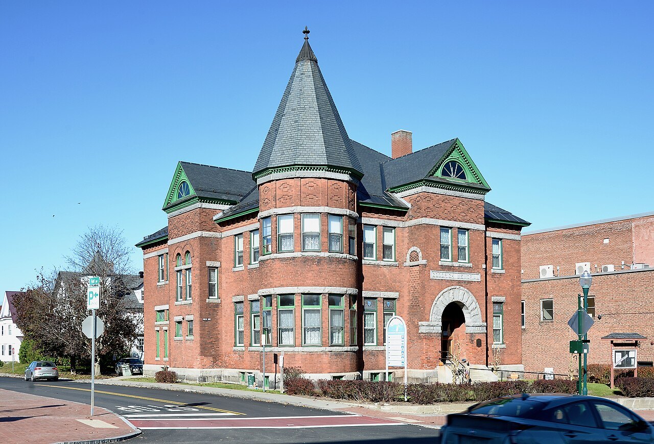
The Green Mountains and the center
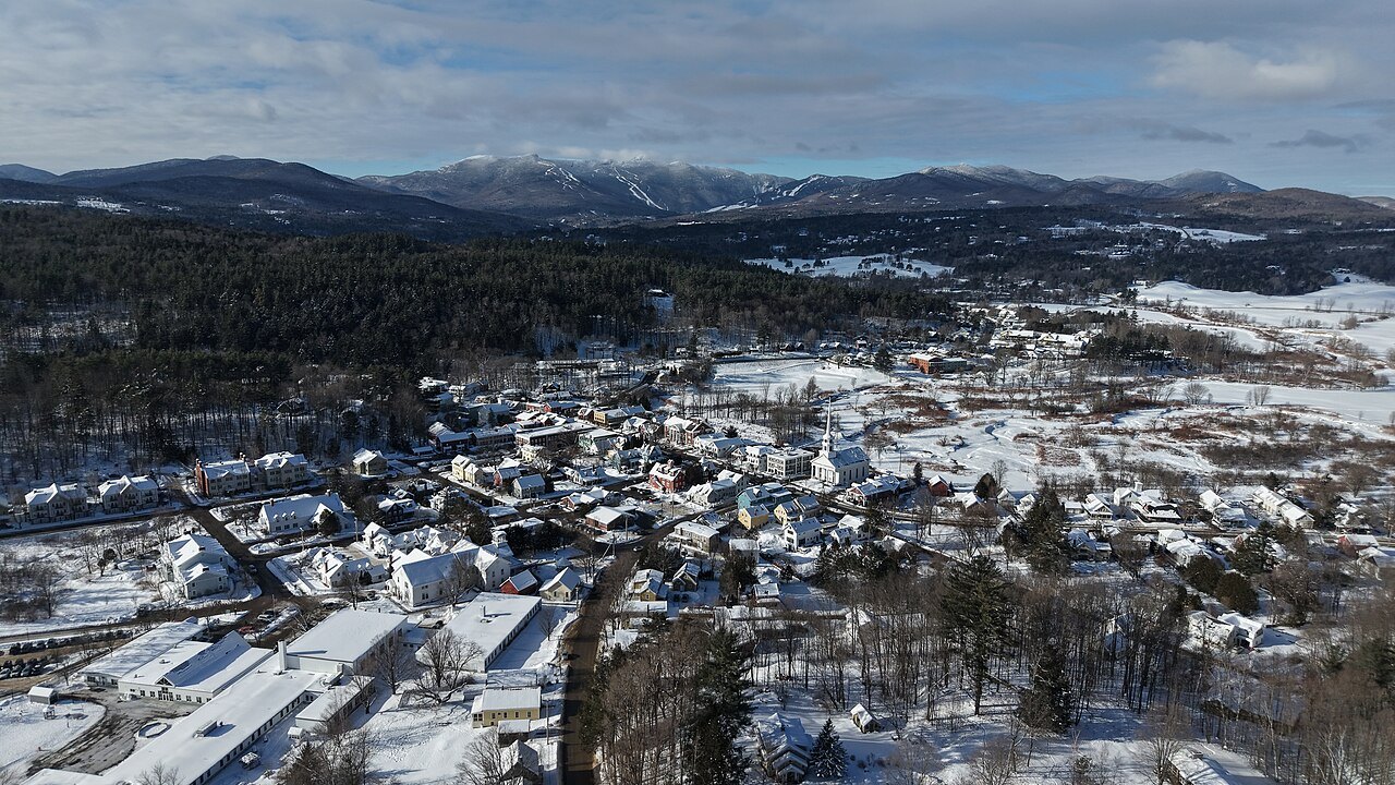
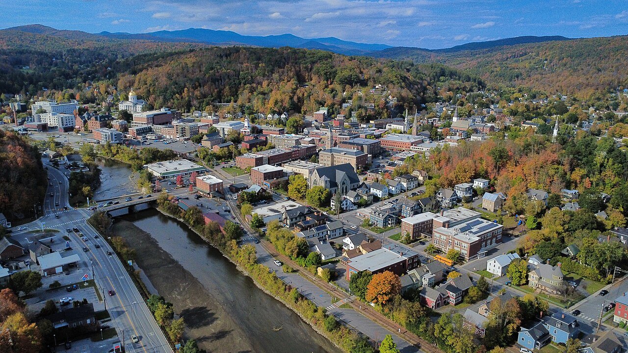
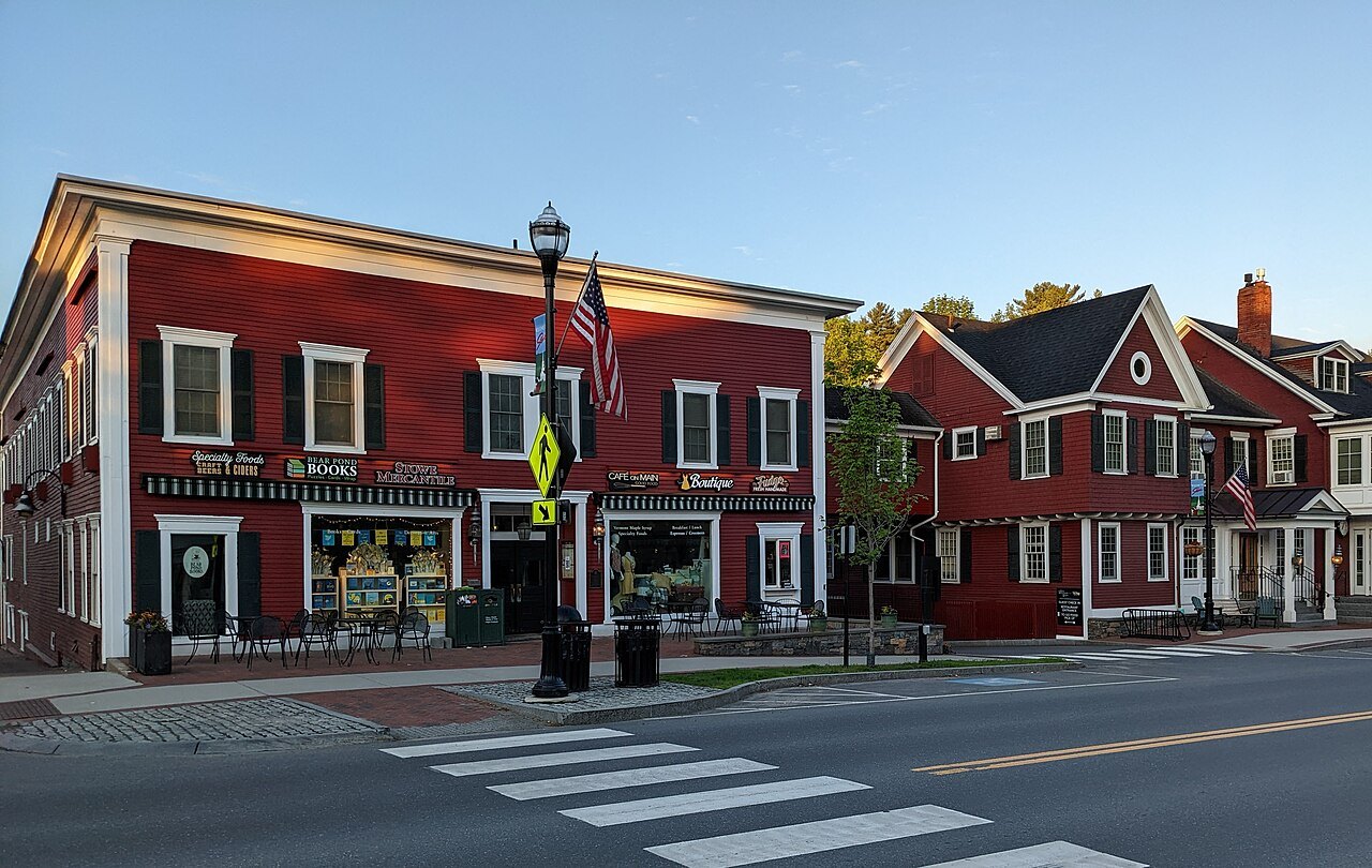
Stowe, nicknamed the Ski Capital of the East, lies under Mount Mansfield with the Stowe Recreation Path, completed in 1989, and the notch road at its door. Montpelier is the least populous state capital in the United States, with 8,074 people, a downtown of locally owned shops and Hubbard Park rising behind the State House.
Woodstock, the county seat of Windsor County, chartered in 1761, is a village of Federal and Greek Revival houses around a long green, where the American Planning Association honored Park Street and Elm Street in 2011.
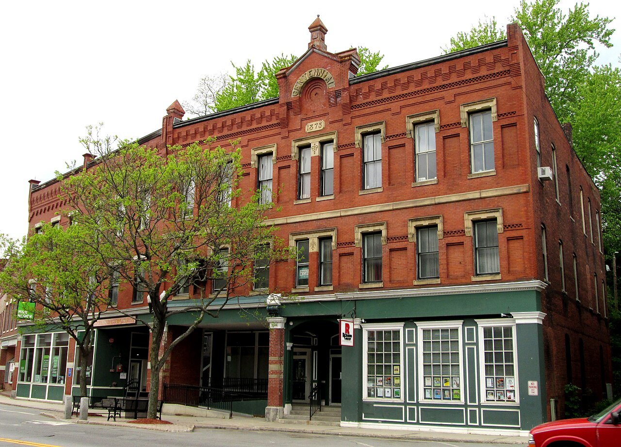
The south and the north
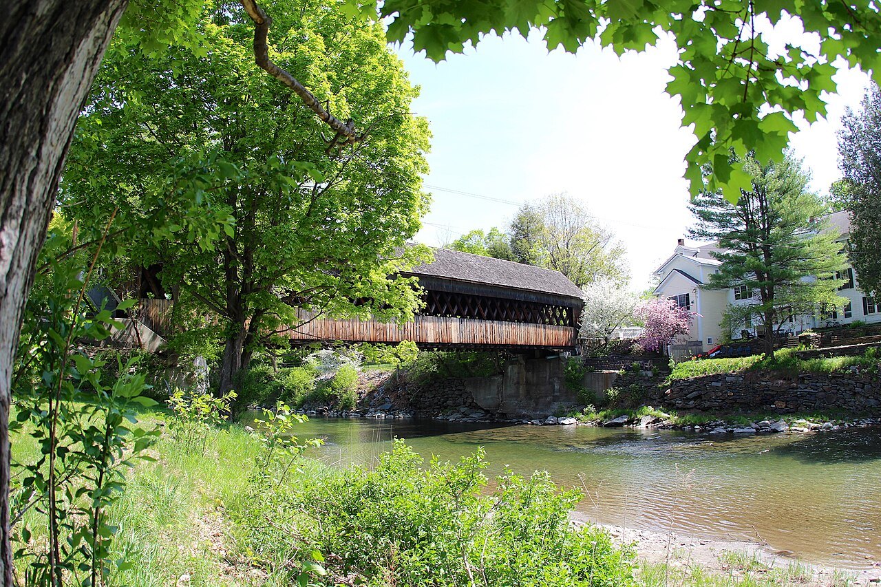
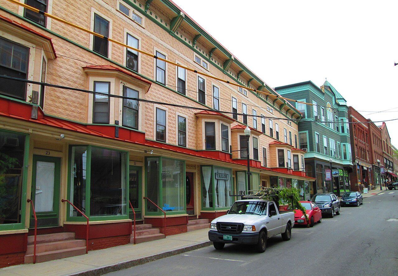
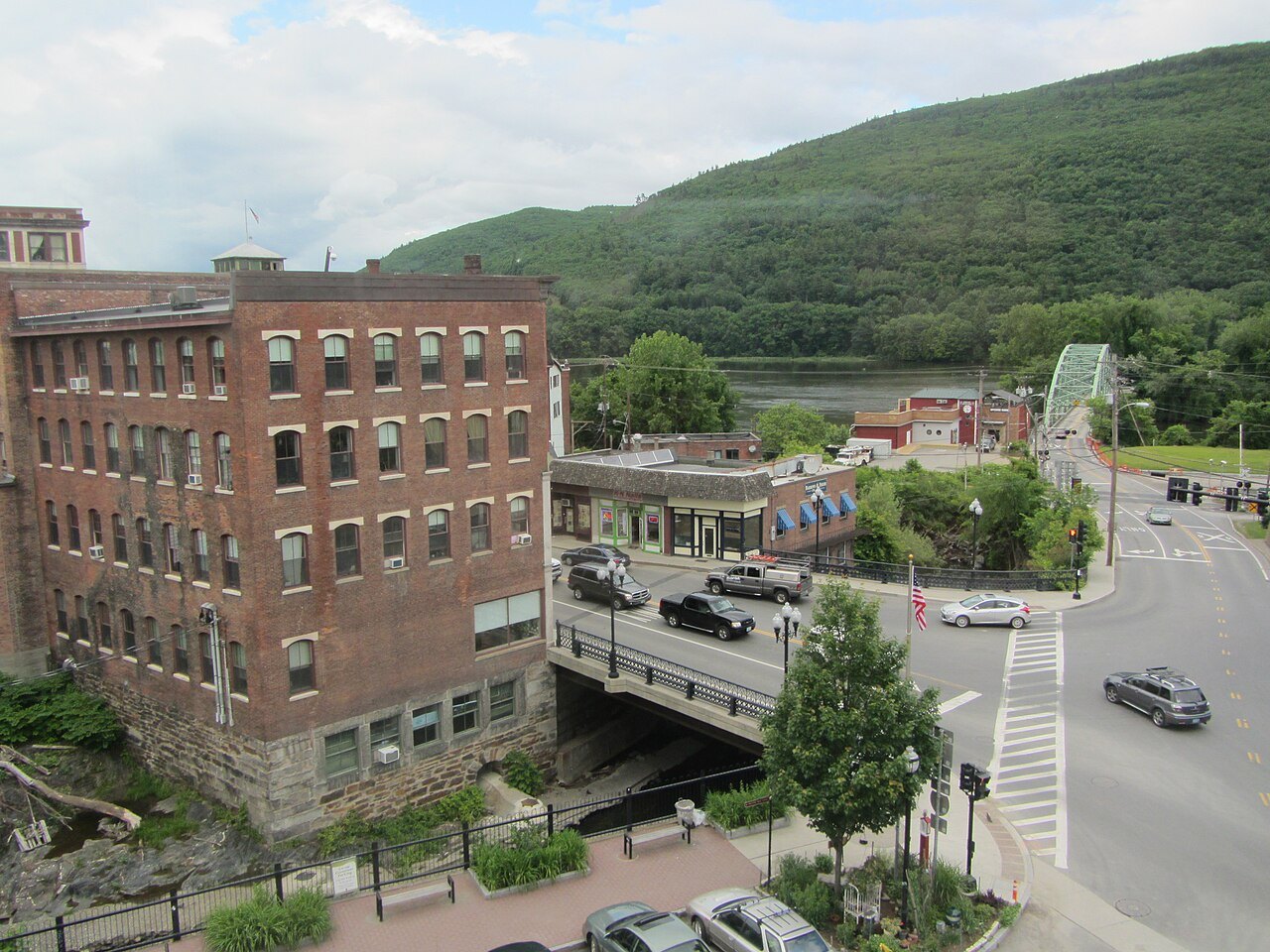
Brattleboro, on the Connecticut River, is the site of Vermont's first store, opened in 1771, and the home of the Estey organ factory, Kipling's Naulakha nearby, and the monthly Gallery Walk. Bellows Falls is a canal and railroad village beside the Great Falls of the river, with a Victorian downtown and a 1941 diner.
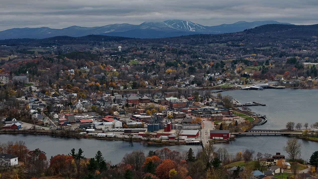
In the far north, Newport, the only city in Orleans County, lies at the head of Lake Memphremagog, where three rivers empty into the lake and the Lady of the Lake steamboat ran from 1867 to 1917.
Why not more towns
Several other towns are well known, among them Rutland and Manchester, and they are left out here because the sources and photographs available were not enough to write a full page worth reading. The pages that exist are written to a standard: at least 880 words from sources read, with the facts checked and no prices, clock times or claims about what is running on a given day.
Where a town is left out, the landmark pages often cover its best-known place. Hildene, at Manchester, has its own page, and the Green Mountains page covers the range that rises behind Rutland.
How to use these pages
Read the town page for the feel of the place and its history, the landmark pages for the main sights, and the hubs for the practical matters: how to arrive, how to get around, when to come and what to eat. The pages link to one another once each, so you can follow a thread without meeting the same link repeatedly.
The guide is independent and does not sell, book or reserve anything; where it links to partners, the links are on planning pages, not on landmark or town pages, and the privacy page says which.
Reading the numbers
The populations quoted are from the 2020 census unless a page says otherwise, and the distances are from the sources named at the foot of each page. Treat figures such as the height of a mountain or the length of a road as the sources give them; sources sometimes differ by a few feet or a few miles, and where they do the pages say so or avoid the figure.
The towns have changed over the years, and the pages describe them by what they were built from: mills, canals, railroads, colleges, a state capitol. Those are the things that last.
What the towns share
Every one of the eight has a public building or street that explains it. Burlington has the waterfront and the Breakwater, Middlebury the college's Old Stone Row, Stowe the village and the mountain, Montpelier the State House, Woodstock the green, Brattleboro the Whetstone Brook mills and the organ factory, Bellows Falls the canal and the diner, and Newport the lake and the steamboat that is its logo. Each page ends with a planning section that says how to reach the place and what to check, and each links to the neighboring towns and landmarks, so that a reader can move outward from any of the eight.
Several have been hit by the same river floods; Montpelier's floods of 1927, 1992 and 2023 are the best documented, and the Killington area was damaged by Tropical Storm Irene in 2011. The town pages note what to check before arriving. The Great Vermont Flood of 1927 killed 84 people and damaged much of the state's infrastructure, and the flood of 1973 covered many roads in the southeast.
All of this is recorded in the town pages, which are written from published sources and checked against each other, and where two sources disagree on a figure the page avoids it.