Vermont itineraries: a day, a weekend and a week
Photographs: Royalbroil, Wikimedia Commons, CC BY-SA 4.0 · Famartin, Wikimedia Commons, CC BY-SA 4.0 · John Phelan, Wikimedia Commons, CC BY-SA 4.0
Access Vermont · By number of days
Vermont rewards slow travel; these itineraries string the guide's towns and landmarks into a one-day loop, a weekend and a seven-day drive from the lake to the Connecticut River.
The seven days
- 1
Day one: Burlington and Shelburne
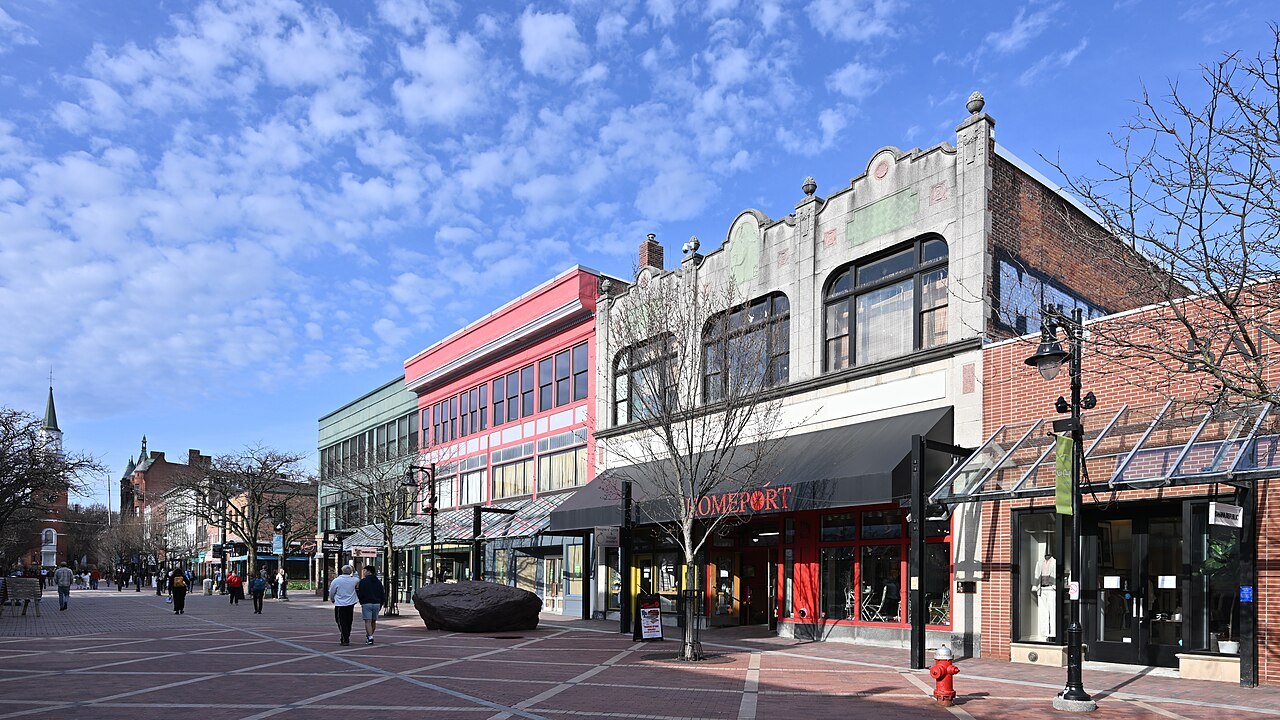
Walk the Church Street Marketplace and the waterfront to the Breakwater, then drive south on U.S. Route 7 to the Shelburne Museum and Shelburne Farms.
- 2
Day two: the lake and Middlebury
Cross the lake on a ferry, or follow the shore by road, then spend the afternoon in Middlebury at the falls of Otter Creek and the college.
- 3
Day three: Stowe and the notch
Base in Stowe, walk the recreation path, then drive Route 108 through Smugglers' Notch beside Mount Mansfield.
- 4
Day four: Montpelier and Barre
Tour the State House under its gold dome, walk the downtown, then visit the granite quarries and the Vermont Granite Museum.
- 5
Day five: the Northeast Kingdom
Spend the morning at the Athenaeum and the Fairbanks Museum, then drive north to the deep lake between Mount Pisgah and Mount Hor.
- 6
Day six: Woodstock and Plymouth Notch
Walk the green at Woodstock, the carriage roads of the national park and the Billings Farm, then Coolidge's village at Plymouth Notch.
- 7
Day seven: the south
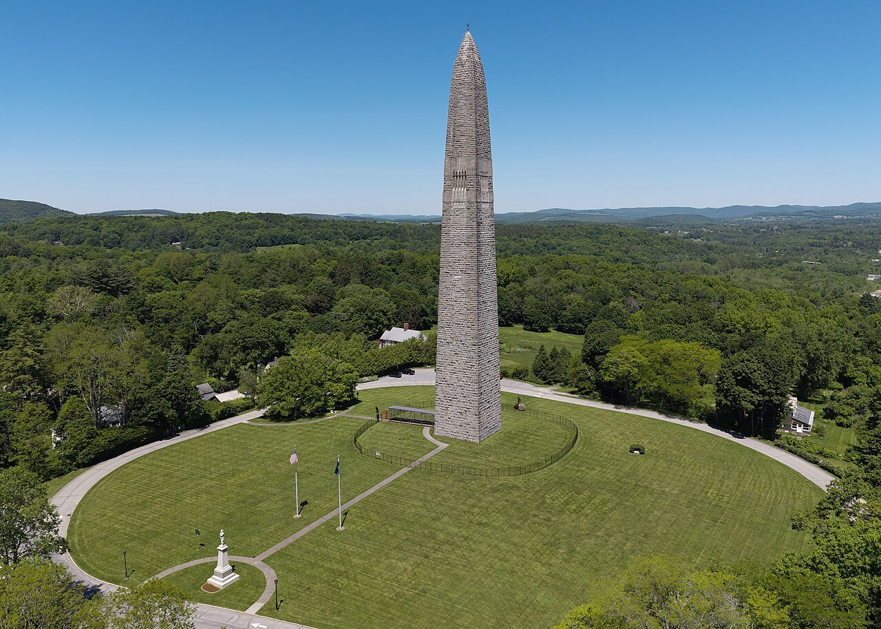
Cross to Manchester for Hildene and the Bennington Battle Monument, then take Route 9 to Brattleboro and the river.
How to use these trips
The itineraries are built from the pages of this guide and from the driving distances in its sources, and they are deliberately slack. Vermont's roads are slow, its villages are worth stopping in and its weather can change a plan; a day with two things to see and an hour to spare will always beat a day with five. Treat each day as a menu: take the first item, then choose.
The site does not sell, book or reserve anything. Use the where to stay page for bases and the getting around page for how the roads behave in each season.
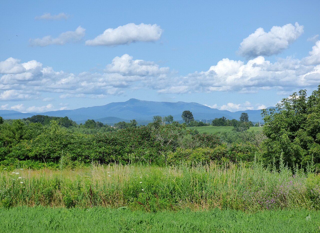
Days one to three: the lake and the mountain
The first day gives a city and a museum. Burlington's Church Street Marketplace has about 86 storefronts, and the Breakwater, built from 1836 to 1890, shelters the harbor. At Shelburne, the museum's twenty-five relocated buildings include a general store, a jail and a schoolhouse, with the 220-foot Ticonderoga steamboat of 1906 beside them, and the Colchester Reef Light of 1871. Shelburne Farms, a 1,400-acre working farm and National Historic Landmark, is on the same shore.
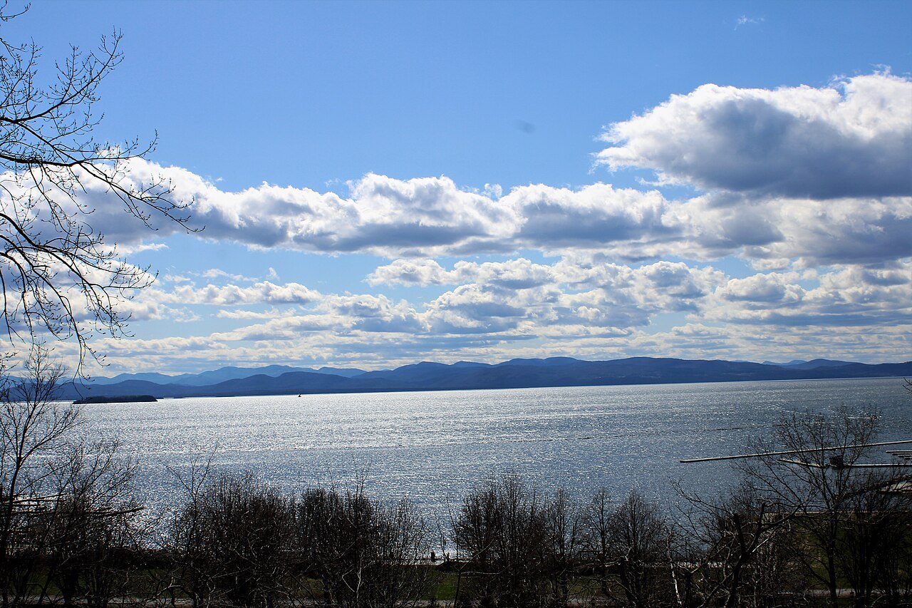
The second day follows the lake. The ferries run from Burlington, Charlotte and Grand Isle, and the Vermont shore has Button Bay and North Hero state parks. In Middlebury, the falls of Otter Creek sit at the center of the village, the Henry Sheldon Museum of Vermont History stands beside the hardware store, and Old Stone Row holds the college's first three buildings.
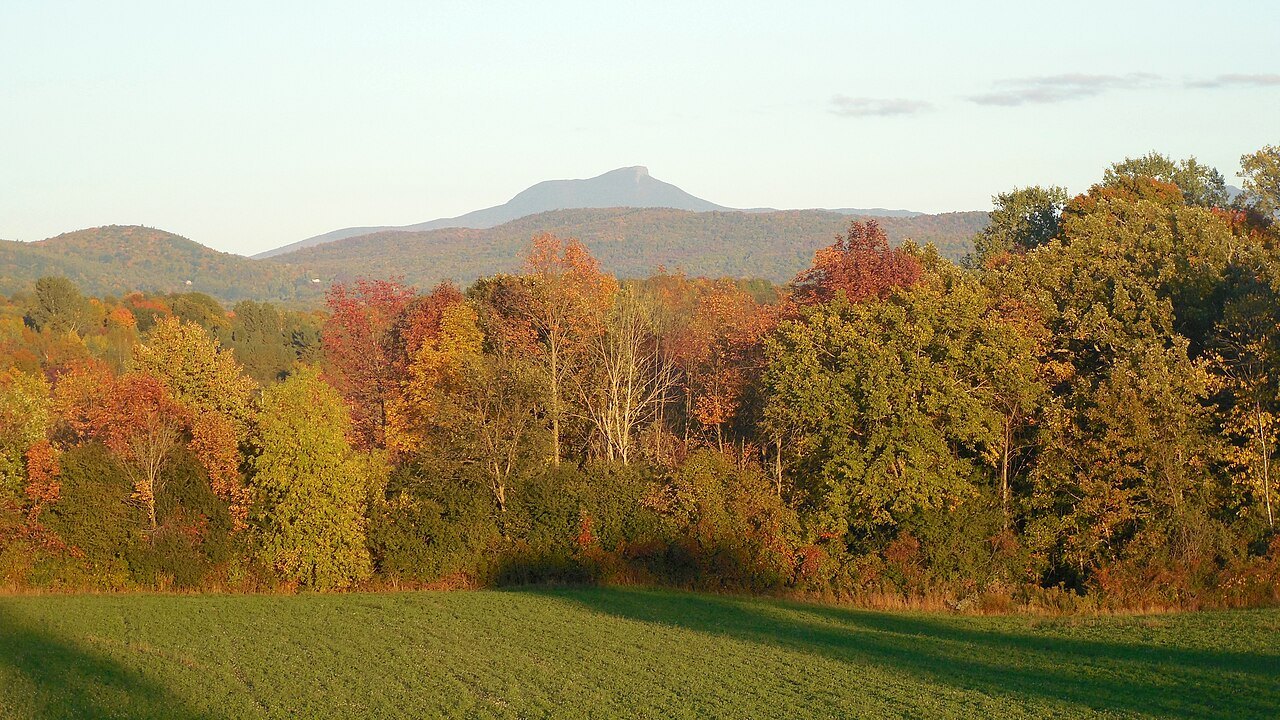
On the third day the road climbs. Stowe's recreation path runs from the village toward the TopNotch Lodge, and Route 108 climbs 17 miles through Smugglers' Notch to Jeffersonville, with the Sterling Pond trail rising 900 feet from the state park campground to a pond. The summit of Mount Mansfield, the Chin, is the highest point in Vermont at 4,393 feet.
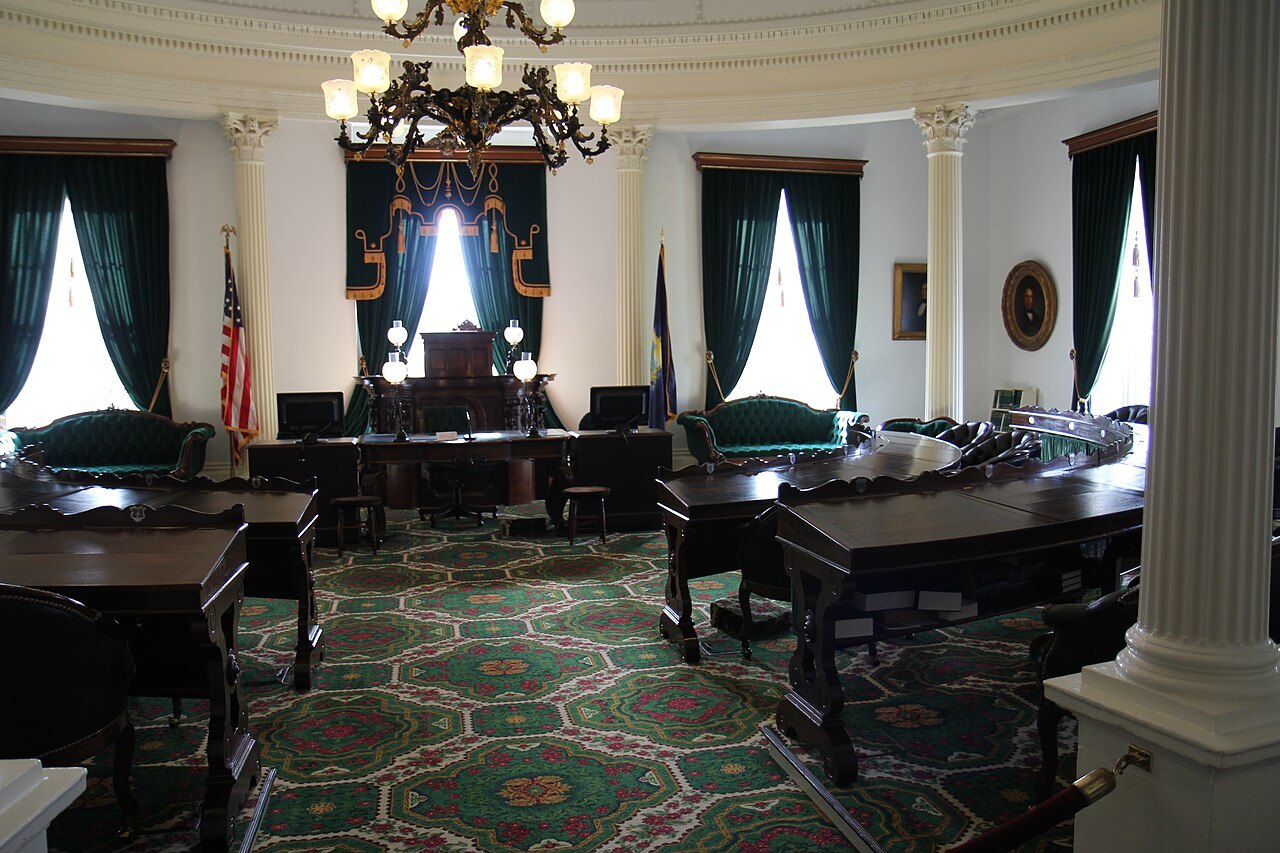
Days four and five: the capital and the Kingdom
The fourth day is for the center of the state. The Vermont State House is the smallest in the United States, with a copper dome gilded in the early twentieth century and eight marble tablets in the Hall of Inscriptions. At Barre, the Vermont Granite Museum occupies the Jones Brothers Granite Shed of 1895, and Millstone Hill, where the deposit was found, has wooded trails among the old pits and grout piles.
The fifth day goes north. In St. Johnsbury the Athenaeum's gallery of 1873 has black walnut walls and an arched skylight, and the Fairbanks Museum of 1891, in red sandstone, has Vermont's only public planetarium and a weather station that has made forecasts since 1893. Lake Willoughby lies in the cleft between Mount Pisgah and Mount Hor, with a lookout at Pulpit Rock about a mile up the trail and a public beach on the north shore.
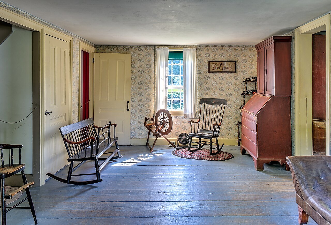
Days six and seven: Woodstock and the south
The sixth day is Woodstock and the Ottauquechee valley. The green is lined with Federal and Greek Revival houses, the Marsh-Billings-Rockefeller carriage roads run 14 miles through more than 600 acres of managed forest, and the Billings Farm and Museum is a working dairy farm across Route 12. At Plymouth Notch, the Coolidge Homestead includes the parlor where he took the oath in 1923, and the cheese factory the family founded in 1890 has a museum upstairs.
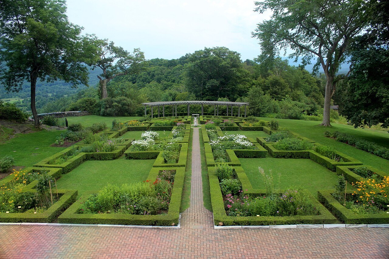
The seventh day is the south. Hildene, completed in 1905, has a formal garden planted in 1907 in the pattern of a cathedral window and a Pullman car of 1903; the Bennington monument is a 306-foot tower with an observation level at 200 feet. Route 9, the Molly Stark Trail, covers 47 miles to Brattleboro, where the Gallery Walk takes place on the first Friday of each month.
One day in Vermont
If you have only a day, choose the capital or the lake. A day in Burlington is the Church Street Marketplace, the waterfront and the Breakwater, then a drive south for the Shelburne Museum. A day in Montpelier is the State House, the downtown and the Barre granite quarries a few miles away. A day around Stowe is the village, the recreation path and the drive through Smugglers' Notch, which the state usually closes from late October until May.
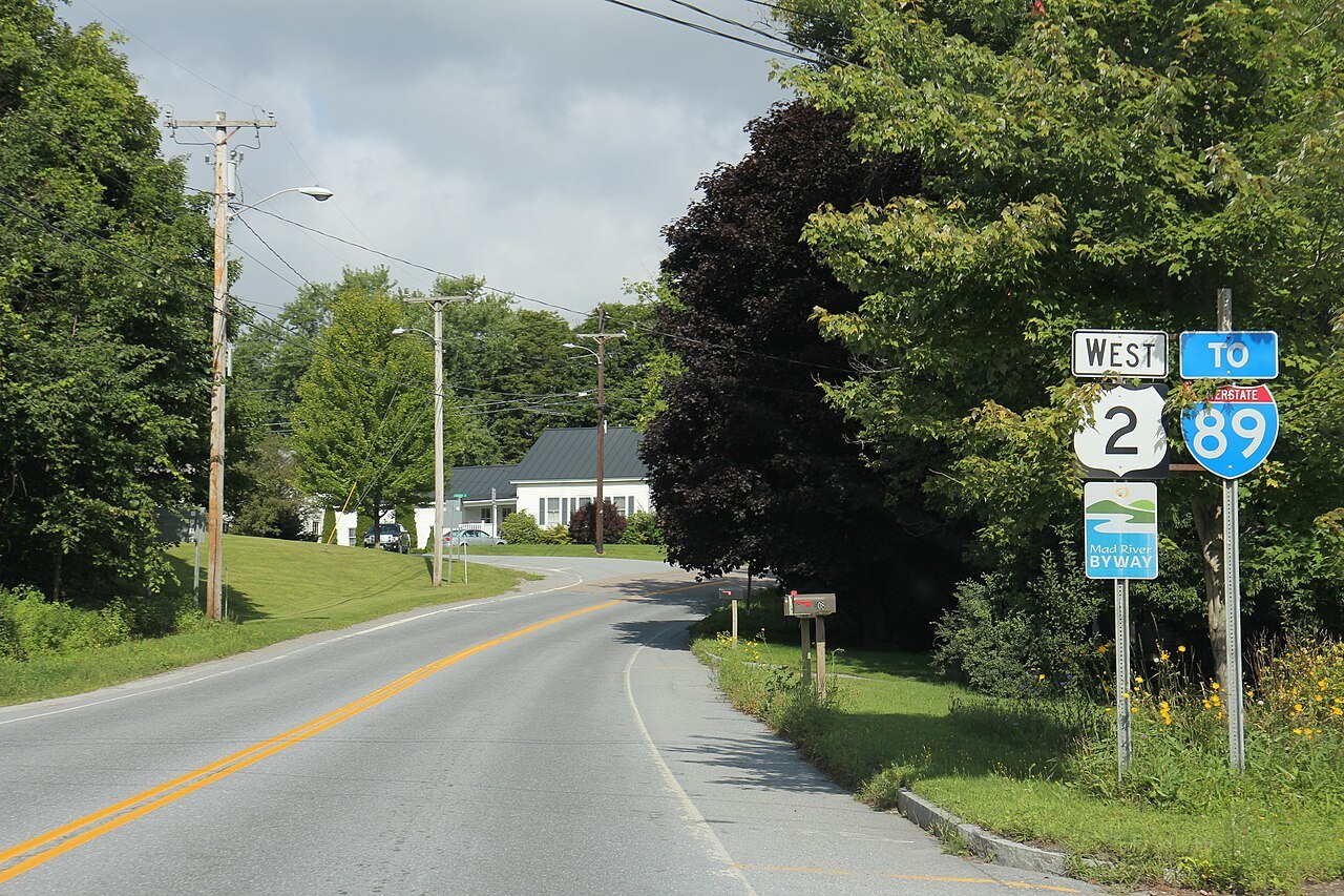
Whichever you choose, start early in the day and do the long drive first. The Winooski Turnpike that linked Burlington and Montpelier in 1805 was 36 miles long, and U.S. Route 2 still follows its course beside the river, while Interstate 89 makes the same trip faster.
A weekend
For a weekend, pair two neighboring places. The lake weekend is Burlington, Shelburne and Middlebury, with a ferry crossing for variety. The mountain weekend is Stowe and Montpelier: Mansfield and the notch on one day, the State House and the granite on the other, joined by Route 100 and Interstate 89. The southern weekend is Brattleboro and Bellows Falls on the Connecticut River, then Route 9 west to Bennington and Hildene.
A fourth weekend, for those who come in fall, is the central one: Woodstock, the Marsh-Billings-Rockefeller forest and Plymouth Notch, with the roads of the Ottauquechee valley and Route 100 at their best.
A week by Route 100
The week listed above runs from the lake across to the Kingdom and back down the Connecticut River side, and it is a loop of roughly the length of the state. It is built so that no single day's driving is long, and it can be reversed. The drive on the homepage, down Route 100 from Newport to the Massachusetts line, is the alternative: it links Stowe, Killington and the Mad River Valley on a single road of 216 miles.
Each night's base is a town on this site: Burlington, Stowe, Montpelier, St. Johnsbury or Newport, Woodstock and Brattleboro. If you want fewer moves, hold two bases and treat the rest as day trips.
Adjusting for the season
In winter, the ski areas at Stowe and Killington are the center of a trip, and Smugglers' Notch, which cannot be plowed, closes between the state forest parking lot and the resort, usually from late October until May. In mud season, stay on paved roads. In fall, add time for traffic on Route 100 and the roads near the foliage, and consider the weekdays.
In summer, the lake, the long trails and the mountain walks lead, and the Long Trail and the Appalachian Trail make a day on foot easy to add. The when to come page covers the seasons in detail.
Without a car
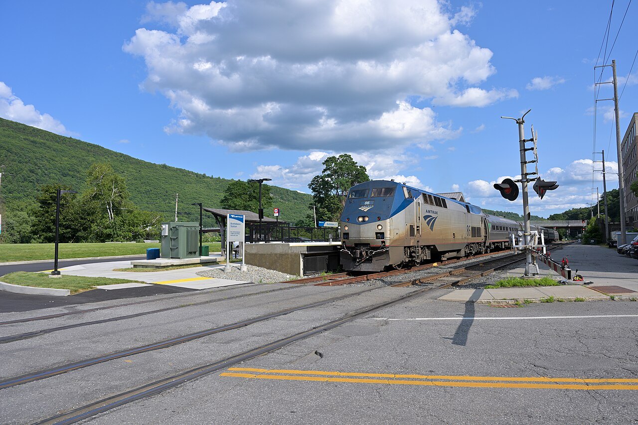
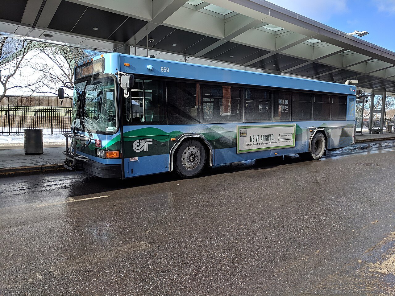
A week without a car is possible only as a series of bases. Burlington has the airport, the train and the local buses; Middlebury is on the same train; Brattleboro and Bellows Falls are on the Vermonter; and Vermont Translines links the main corridors. The landmark pages say what is within walking distance of each base and what is not, and the getting here page lists the ways in.
Many of the best places, such as the notches, the covered bridges and the farms, are not served by public transport, which is why a car, or an arranged tour, is the usual way.