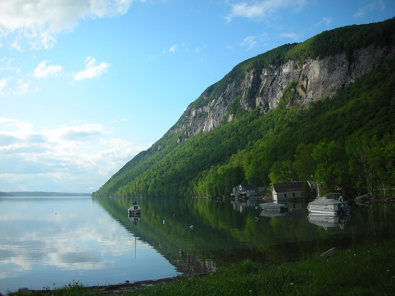
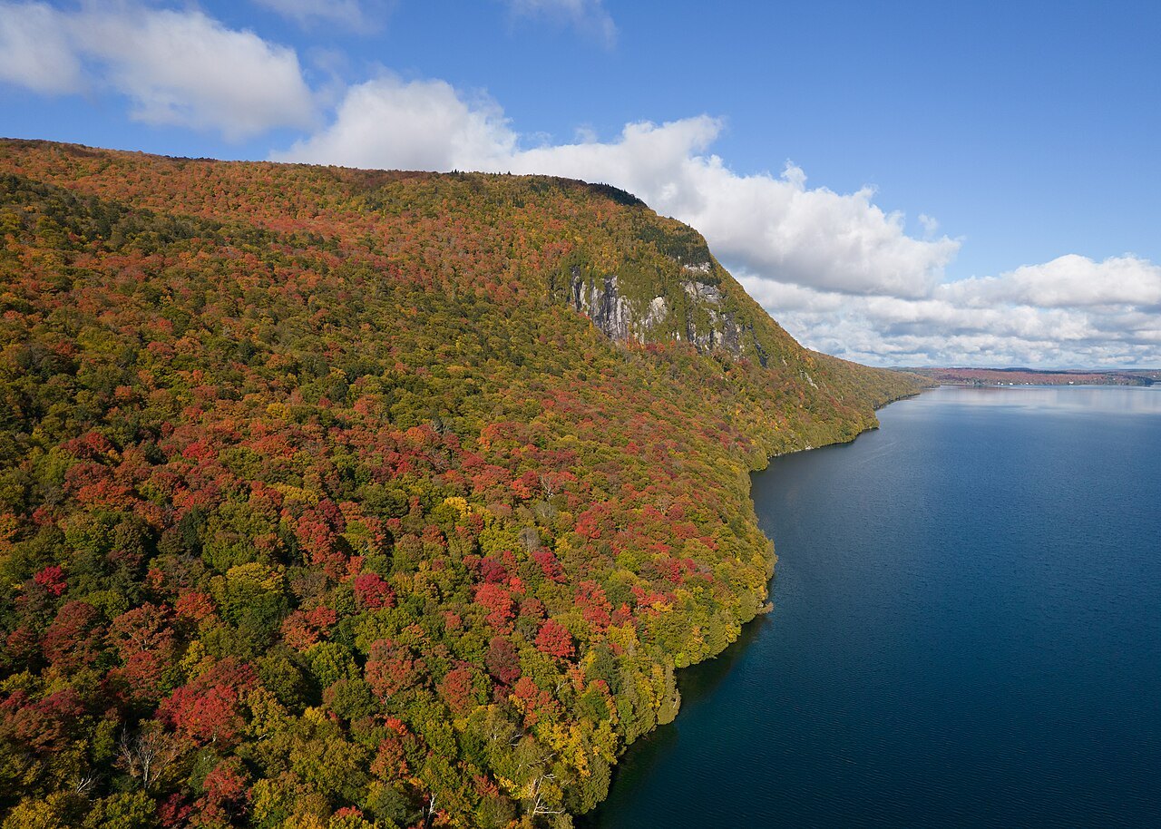
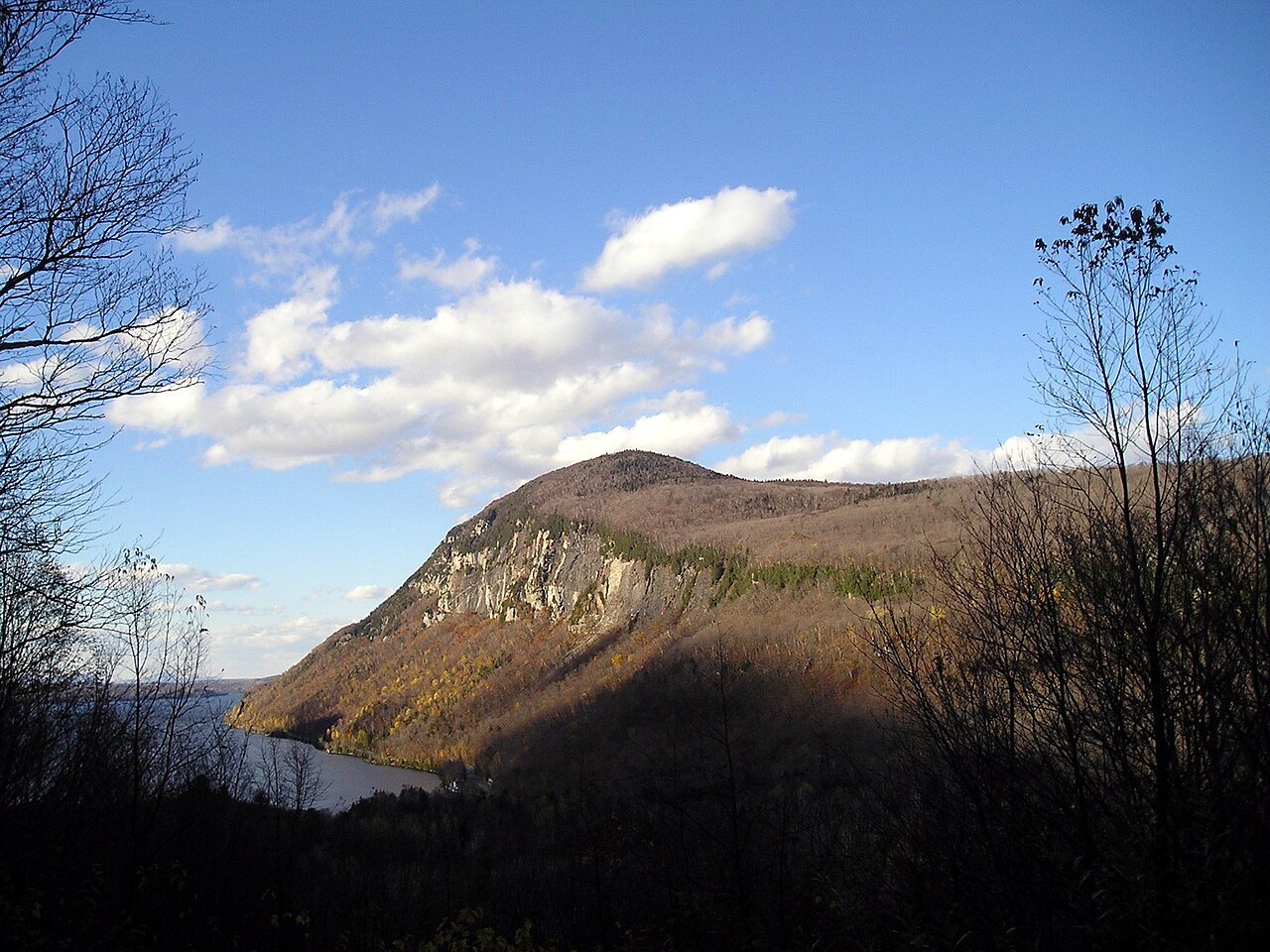
Lake Willoughby, the deep glacial lake in the Northeast Kingdom
Photographs: Lostdrewid, Wikimedia Commons, CC BY-SA 3.0 · King of Hearts, Wikimedia Commons, CC BY-SA 4.0 · Robert P Ryan, Wikimedia Commons, CC BY-SA 2.5
The Northeast Kingdom · landmark 14 of 15
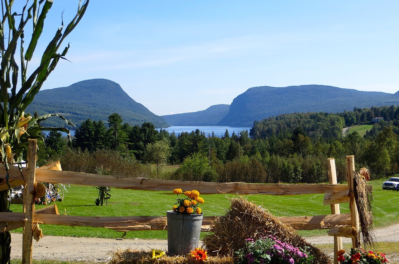
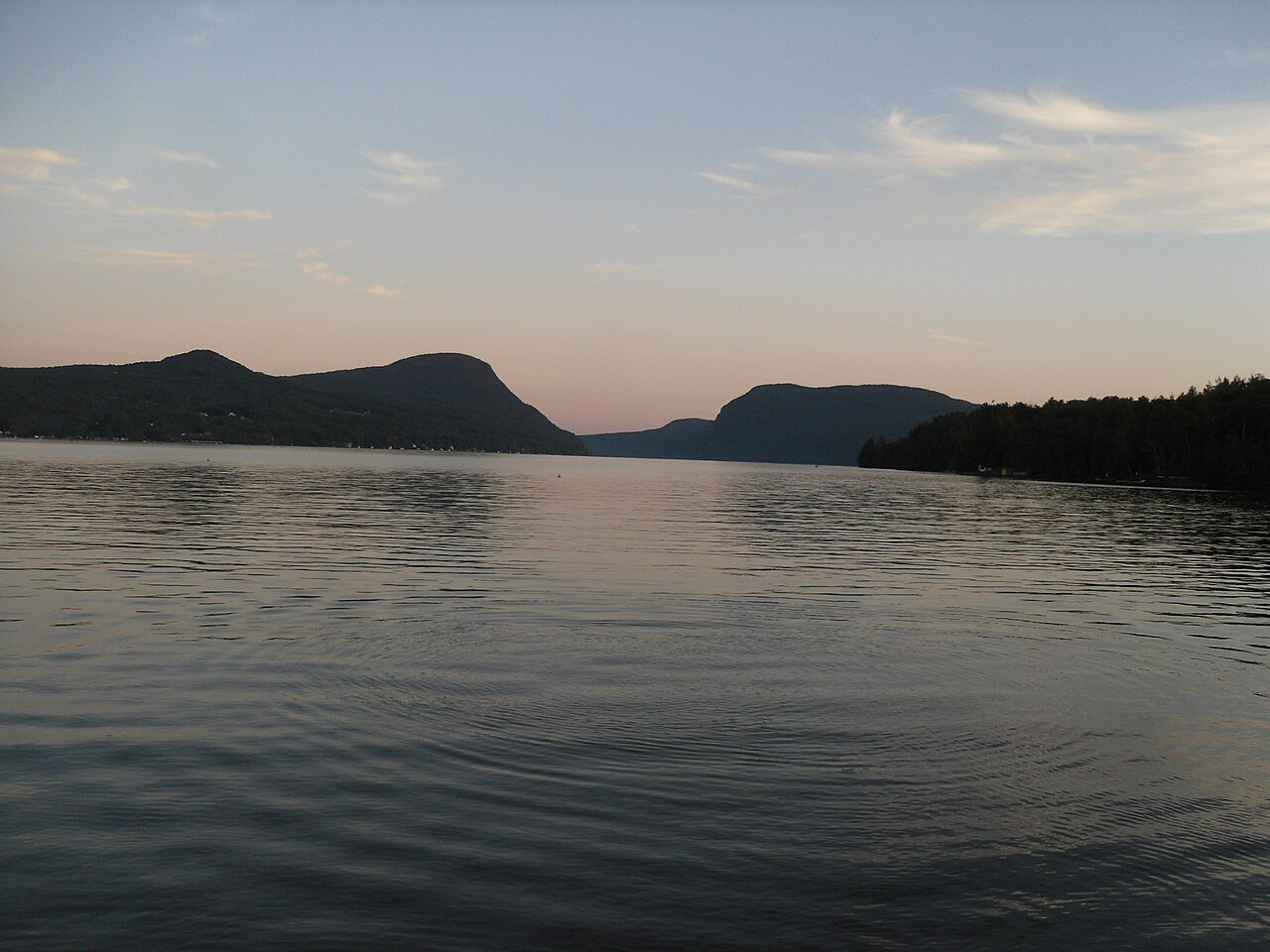
Over 300 feet deep, Lake Willoughby lies in a gap between Mount Pisgah and Mount Hor, a shoreline that resembles a Norwegian fjord, in the part of Vermont that the state calls the Kingdom.
- Willoughby GapThe cleft between Mount Pisgah on the east and Mount Hor on the west.
- Mount PisgahA 2,751-foot mountain whose trail passes Pulpit Rock, a peregrine falcon nesting area.
- Pulpit RockA lookout about a mile up the trail with an expansive view over the lake.
- The beachesA public beach on the north shore and another at the bottom of South Bay.
- Willoughby State Forest7,682 acres around the lake, with two natural areas, including the Willoughby Cliffs.
Why it matters
Lake Willoughby is a glacial lake in the town of Westmore, in Orleans County, in the Northeast Kingdom. It is more than 300 feet deep in places, which makes it potentially the deepest lake lying entirely within New England and second in the area only to Lake Champlain, whose deepest point reaches about 400 feet. Estimates of its depth range from 300 to about 340 feet. The lake is known for its clarity and its chilly temperature, and because of its depth the surface freezes later than other lakes in the Kingdom.
In 2010 Yankee magazine named Willoughby the third best lake in New England. The lake belongs to the Saint-François River watershed, and its waters eventually reach the St. Lawrence River in Canada.
A fjord in Vermont
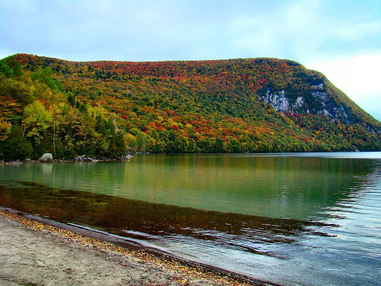
The shoreline almost resembles a Norwegian fjord, and the lake is a popular destination for photographers and visitors for that reason. The likely cause is the ground on either side: the rock between Mount Pisgah on the east and Mount Hor on the west was eroded by an ancient valley ice lobe, which cut across the Willoughby granodiorite and the metamorphic rocks beside it, perhaps following fractured bedrock along the margin of the pluton. The two mountains together are called Willoughby Gap, or Willoughby Notch.
In the Northeast Kingdom, a long sheet of ice covered the land several times over a million years, until about 13,500 years ago, and it left boulders everywhere as well as prominent features, among them Lake Memphremagog, Lake Willoughby and Crystal Lake.
Willoughby State Forest
The southern end of the lake is surrounded by Willoughby State Forest, which covers 7,682 acres in Newark, Sutton and Westmore, in Caledonia and Orleans counties. It is managed by the Vermont Department of Forests, Parks and Recreation, and its activities include hiking, primitive camping, cross-country skiing, snowshoeing, hunting and fishing. The forest is divided by the lake, with Mount Hor, 2,648 feet, to the west and Mount Pisgah, 2,751 feet, to the east, and it stands on the divide between the Saint Lawrence and Connecticut River watersheds. Bald Mountain, at 3,315 feet, is its highest peak.
The forest holds two natural areas, the 950-acre Willoughby Cliffs Natural Area in Westmore and the 30-acre Marl Pond and Swamp Natural Area in Sutton. It is easy to reach from Vermont Routes 5 and 5A.
Climbing Mount Pisgah
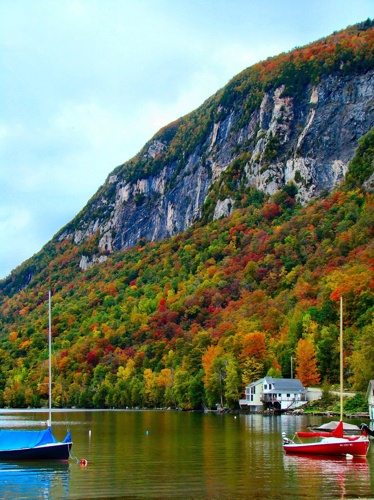
Mount Pisgah, in the Northeastern Highlands of Vermont, forms the eastern side of the gap. The cliffs hold alpine plants that survive because no trails lead to or through them. The trail parking area is on the west side of Route 5A at the south end of the lake, and the trailhead is marked by a sign on the opposite side of the road.
After roughly a mile the main trail reaches Pulpit Rock, a known nesting area for peregrine falcons and an expansive viewpoint over the lake. An extension leads to a rock overhang 650 feet above the water. Beyond it, the trail leaves the cliffs for a viewing area on a rock slab, runs along a ridge east and curves back to the parking area, with three small lookouts on the descent. The total distance is two and a half miles, with a vertical rise of 1,590 feet.
Beaches and village
There is a public beach about a quarter of a mile long on the north shore, in the area of the lake outlet, and another at the bottom of South Bay. The village of Westmore lies on the east side, at the mouth of Mill Creek, which drains Long Pond, and many cottages and houses stand on the northeast bank.
The Willoughby River is the outlet. It runs north through Brownington to the Barton River, which flows into Lake Memphremagog, then by the Magog River to the Saint-François River and the St. Lawrence. Before the floods of 1927 the river had three dams, all destroyed by the flood, and an iron bridge between Evansville and Brownington Center was destroyed and rebuilt. A dam on the site of the old Whetstone Dam was rebuilt to run a sawmill, and the state Fish and Game Department bought the dam rights so that rainbow trout could swim upriver.
The Northeast Kingdom
The term Northeast Kingdom is credited to George D. Aiken, a former governor and United States senator, who first used it in a 1949 speech. The region usually means Essex, Orleans and Caledonia counties, with a population of 63,546 in 2020, and covers 55 towns and gores, about 21 percent of the state. It is bordered on the east by the Connecticut River and on the west by the Green Mountains, and it is geologically a separate place: it lies outside the Green Mountain formation, on a set of ancient volcanic islands, and its views differ sharply from those of the central spine. About 80 percent of the land was forest in 1997.
The gateway towns are St. Johnsbury in the southeast, Newport and Derby in the north, Canaan in the northeast and Hardwick in the southwest, and Interstate 91 and US 5 and 2 are the main roads in.
Planning
The lake suits a day, with the Pisgah climb and then the beach. St. Johnsbury, with its Athenaeum, is the nearest large town. For the larger picture of the state's mountains, see the Long Trail and Green Mountains, and for another view of water see Lake Champlain.