About Access Vermont
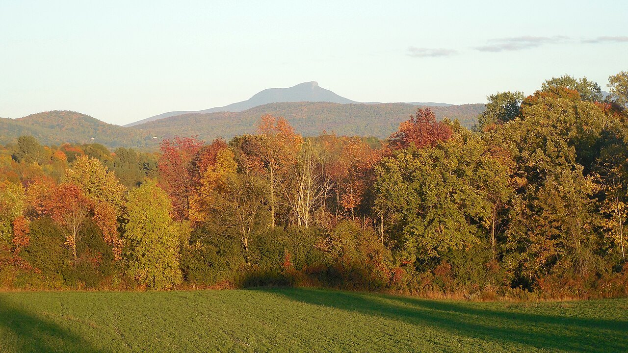
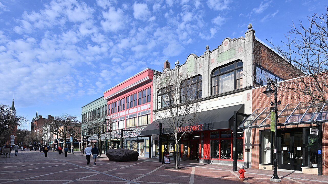
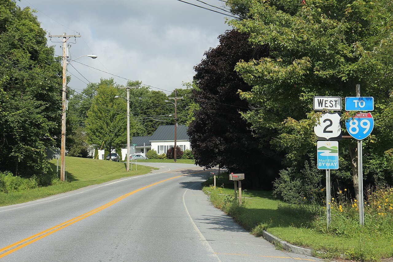
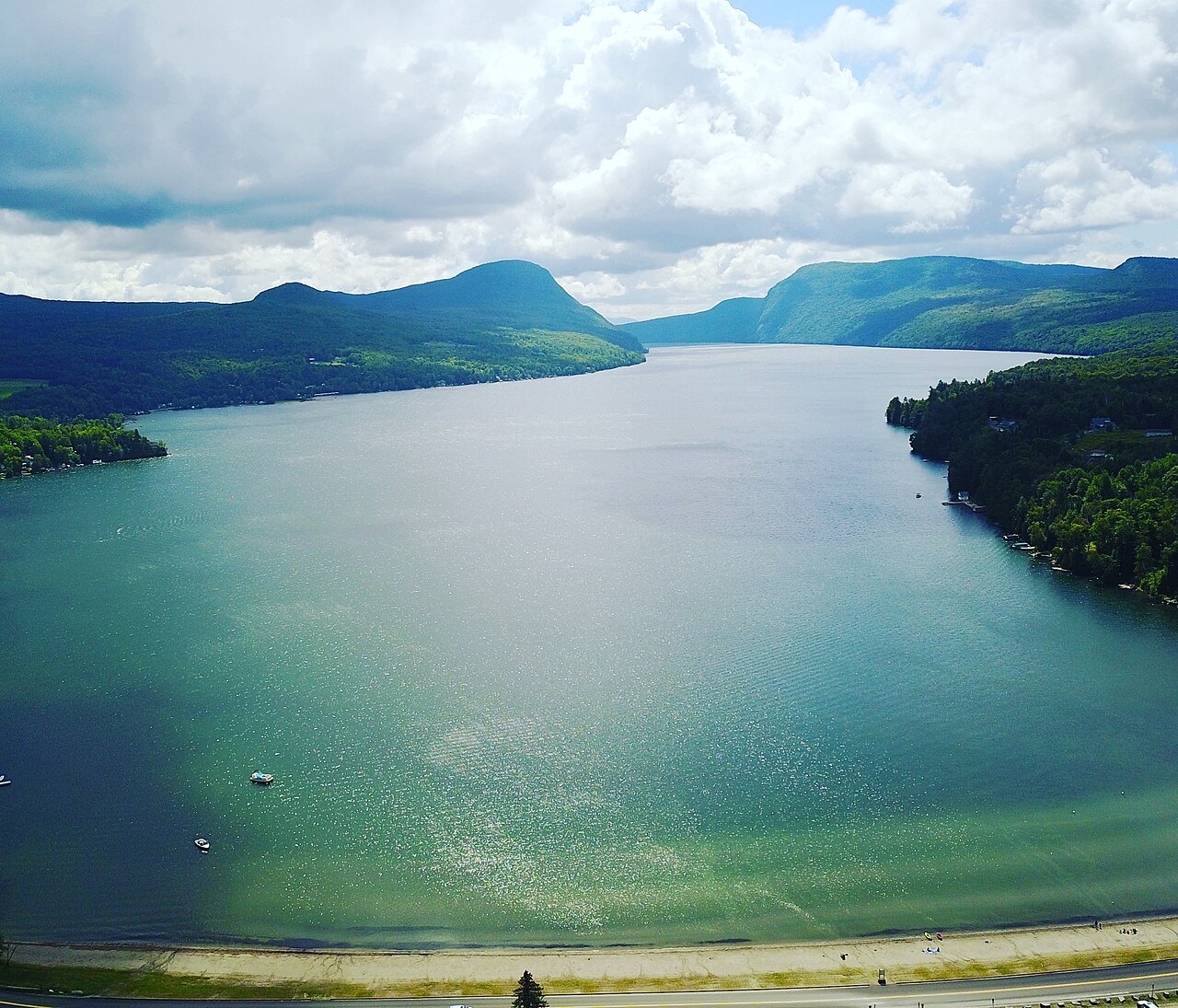
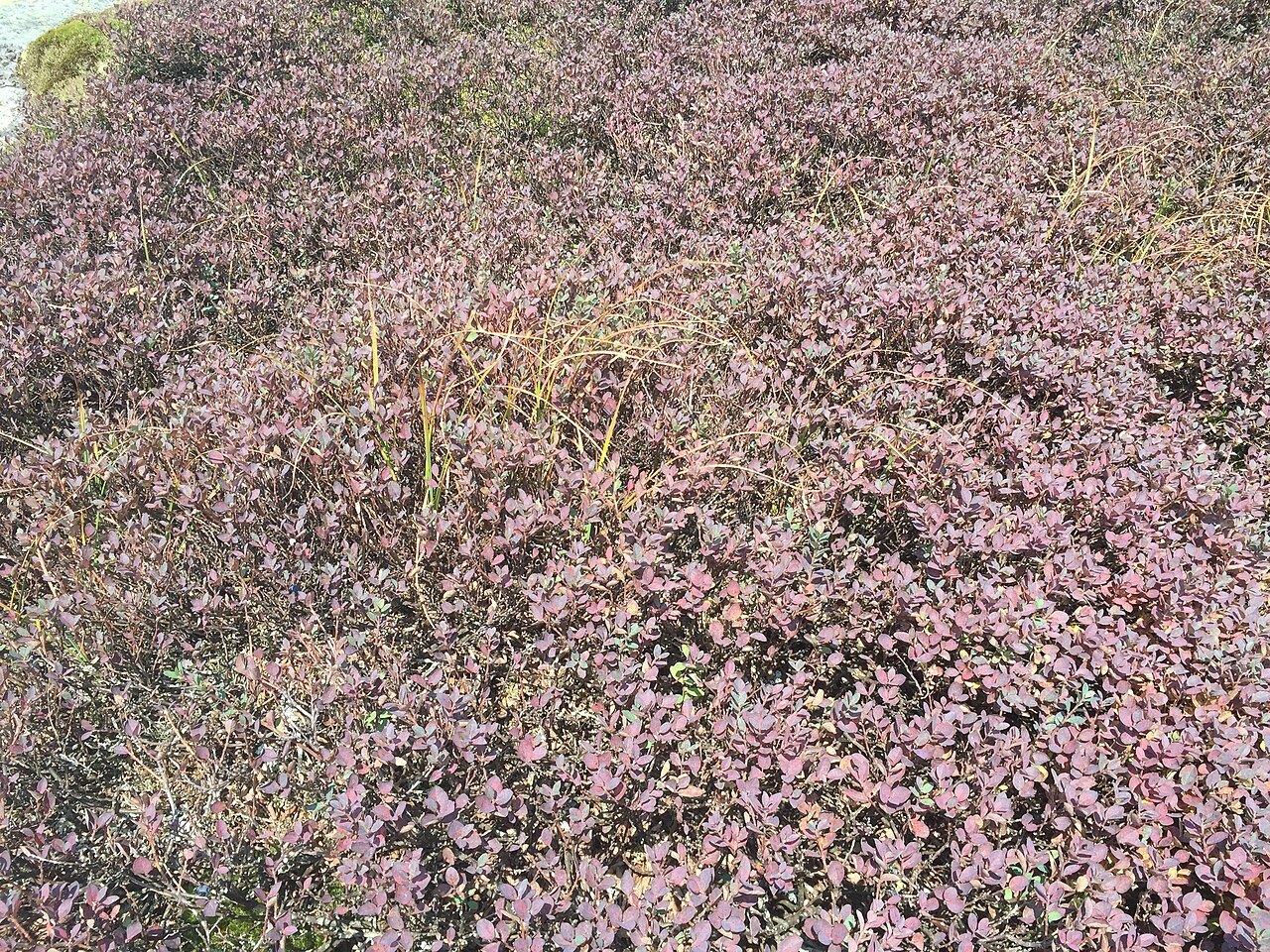
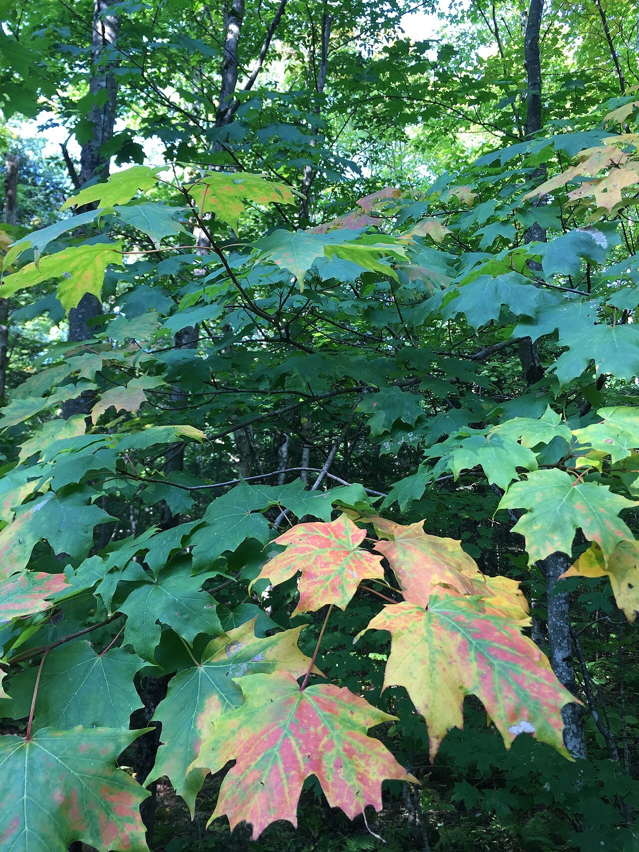
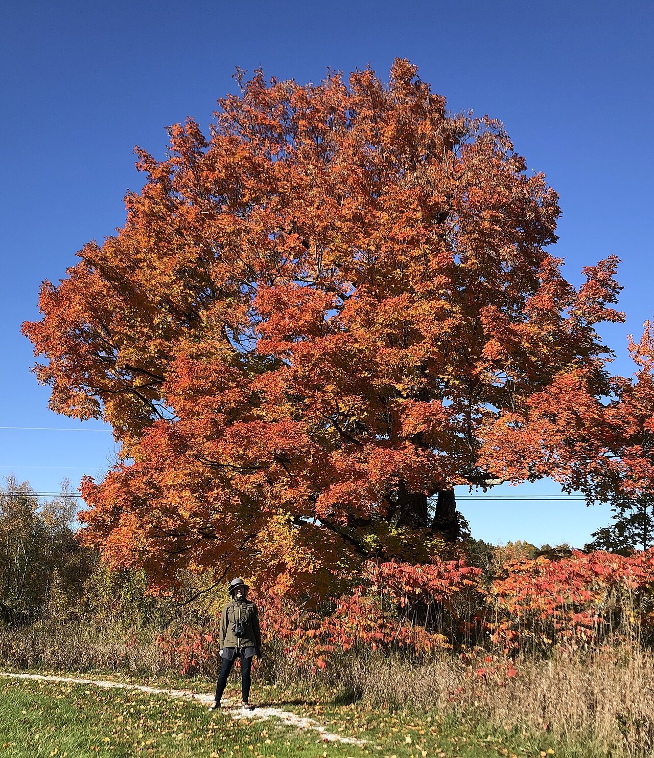
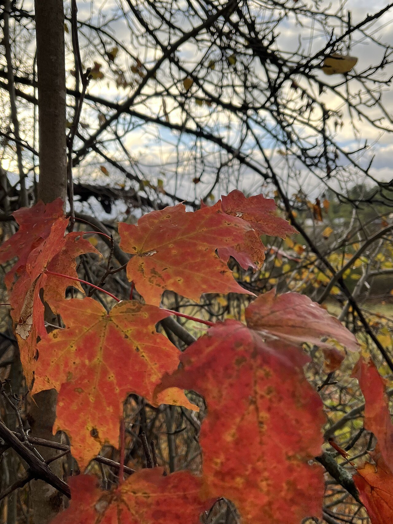
Photographs: Nathaniel Broderick, Wikimedia Commons, CC BY-SA 4.0 · Famartin, Wikimedia Commons, CC BY-SA 4.0 · Famartin, Wikimedia Commons, CC BY-SA 4.0
Access Vermont · About Access Vermont
An independent guide to Vermont for visitors: fifteen landmarks from Lake Champlain to the Northeast Kingdom, eight towns and cities, and nine sections on how the state works when you travel it, from the notch roads to the sugarhouse.
What this site is
Fifteen landmarks across Vermont, one page each, eight town and city guides, and nine sections on the practical side of a visit: arriving by air, rail and road, driving the state, the scenic drives, the seasons, what to eat, where to stay and how to put the days together into a trip.
Every page tries to answer what a visitor actually needs: what a place is, what you see when you get there, how a visit works, what to combine it with, and where a well-known story is a legend rather than a fact.
It is not a listings site. There are no opening hours, admission prices or fares anywhere on it, because those change, and the operator is the only source that is right on the day you travel.
What Vermont means here
This site keeps to the state of Vermont. Lake Champlain is shared with New York and Québec, and the Connecticut River is the border with New Hampshire; the pages here describe the Vermont side, saying which side of the line a place is on wherever that matters.
Many places share their names with others, and the photographs and facts here are checked for it: the Woodstock in England and in New York, the Newport in Rhode Island, the Burlington in other states, the Shelburne in Nova Scotia and the Barre in Massachusetts are not the places this guide describes.
How it is written
Each page is built from sources that are named at the foot of it, and the facts in it, such as dates, heights, distances and who built what, are checked against those sources before the page is published. Where the sources disagree, the page says so or leaves the number out.
Access Vermont is written and maintained with the assistance of AI, edited and fact-checked before publication. It is independent: it is not connected to the State of Vermont, the National Park Service, the Green Mountain Club or any museum, resort or ferry company, and it does not use their emblems or signs.
The photographs
Every photograph comes from Wikimedia Commons and is credited on the page it appears on, with the photographer's name, the license and a link to the file. They are chosen by looking at them: recent rather than archival, showing the place the page is about, and captioned from what is in the frame.
Many files labeled Woodstock, Newport or Manchester show a place in another state or country, so each one is checked before it is used.
Floods and recovery
Vermont's rivers have flooded repeatedly, in 1927, in 1973, in Tropical Storm Irene in 2011 and in July 2023. The pages say what the storms did, and point you to the official sources for what is working on the day you travel, because roads, bridges and businesses change from week to week after a flood.
What it costs you
Nothing. A few planning pages carry affiliate links, marked as such before the first one, and the privacy page explains what that means. No page about a landmark or a town carries one, and nothing on this site is recommended because of a commission. This site does not sell, book or reserve anything.