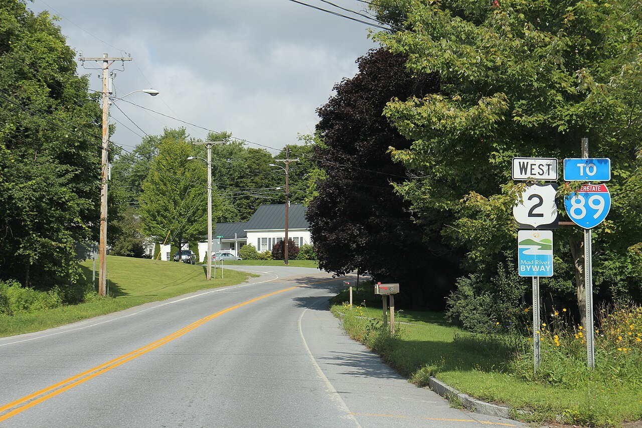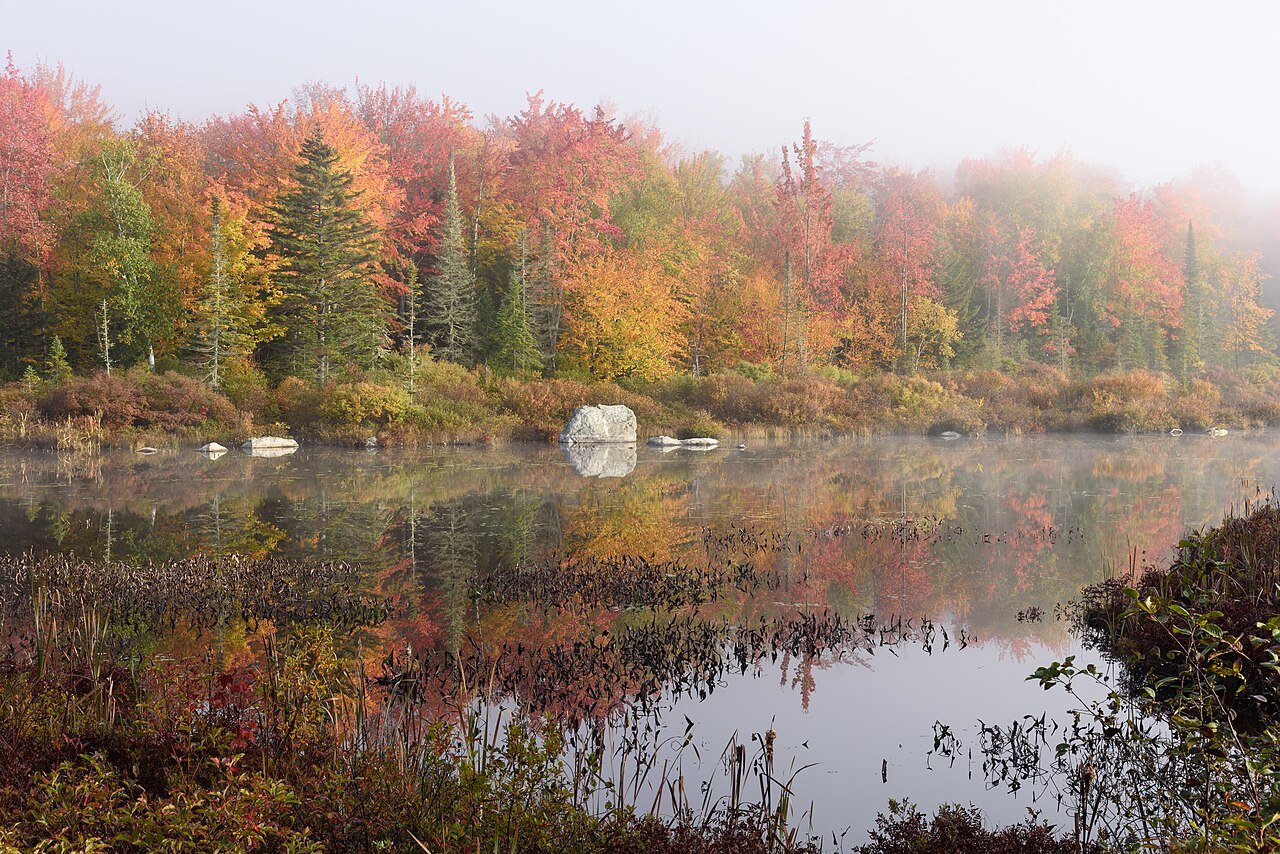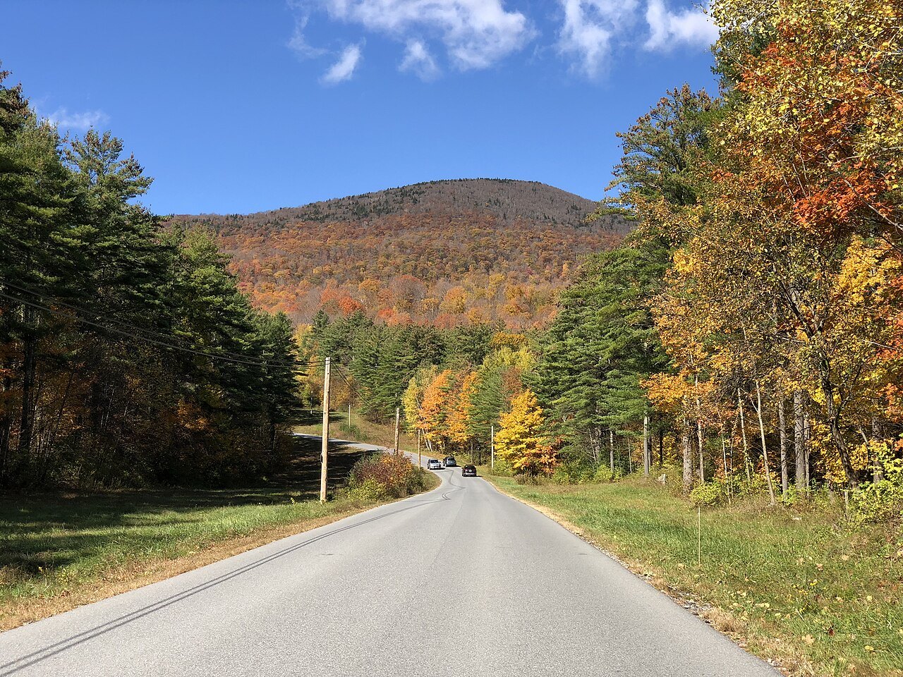
Fifteen Vermont landmarks, by region
Photographs: Niranjan Arminius, Wikimedia Commons, CC BY-SA 4.0 · Jim Griffin, Wikimedia Commons, CC0 · Michelle Maria, Wikimedia Commons, CC BY 3.0
Access Vermont · Fifteen places
Fifteen places stand for Vermont: a lake, the highest mountains, the capital's dome, a granite quarry, a president's village and a covered bridge; this page groups them by region and says what each is for.
The fifteen landmarks
The Champlain Valley
The lake, its farms and Burlington, west of the mountains
The Green Mountains
The spine of the state: Mansfield, the Notch, the Hump and the Long Trail
The Valleys and Villages
The capital, the granite town and the villages of the Connecticut River side
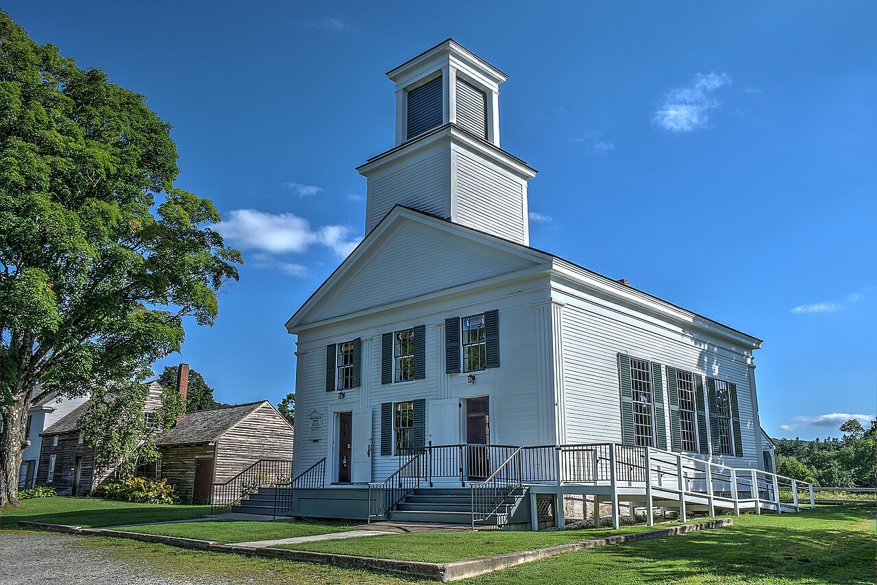
Southern Vermont
Bennington, Hildene, Brattleboro and the covered bridges
The Northeast Kingdom
The empty corner: the deep lake and the Athenaeum
How the fifteen were chosen
This guide covers Vermont as a state, so its landmarks are chosen to show the range of it: water, mountain, civic building, industry, farm and village. Each has its own page of 880 words or more, written from published sources, with photographs that were checked to be Vermont's own. Places where the sources were too thin, or where good photographs of the right place were not available, are left out rather than padded.
The fifteen fall into five regions, and the regions follow the state's geography: the lake valley in the west, the Green Mountains up the middle, the valleys and villages of the center and the Connecticut River side, the south, and the Northeast Kingdom.
Pairings that work
Some landmarks make natural pairs. The lake and the museum at Shelburne share a shore. Mansfield and Camel's Hump are the two great summits of the northern range, and the Long Trail crosses both. The State House and the Barre granite quarries are close neighbors, and the granite portico of the State House is part of that story. Marsh-Billings-Rockefeller and Plymouth Notch both belong to the Woodstock and Route 4 corridor.
Hildene and the Bennington monument are the southwest pair, and the covered bridges are scattered across the state, so the page lists several, from the Connecticut River to Montgomery in the north. Lake Willoughby and St. Johnsbury are the Kingdom's two ends of a day, one a lake and the other a library. Each of these pairings can be done in a day, and the itineraries show how.
The Champlain Valley
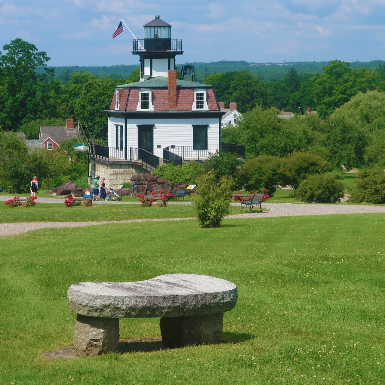
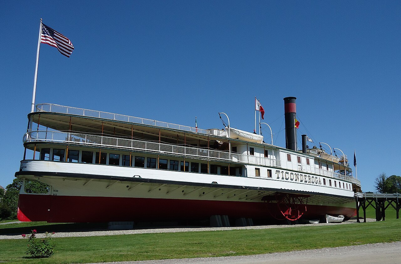
Two landmarks stand for the west. The Shelburne Museum is thirty-nine buildings of art and Americana, twenty-five of them moved to the site, among them a 220-foot steamboat of 1906, the Ticonderoga, that was moved overland; the grounds also hold the Colchester Reef Light of 1871, a collection of decoys, weathervanes, quilts and carousel figures, and, beside them, the 1,400-acre working farm of Shelburne Farms on the lake shore.
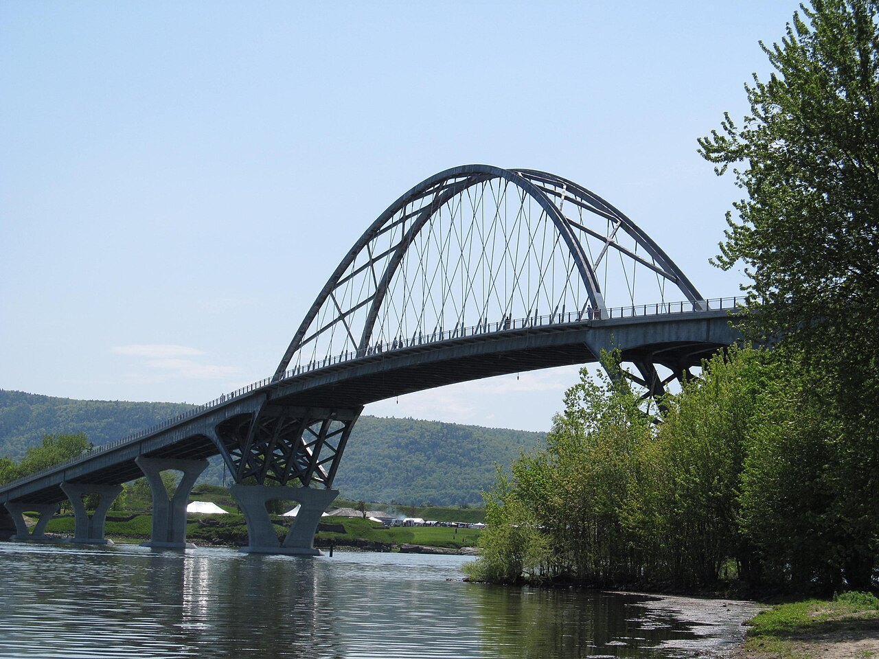
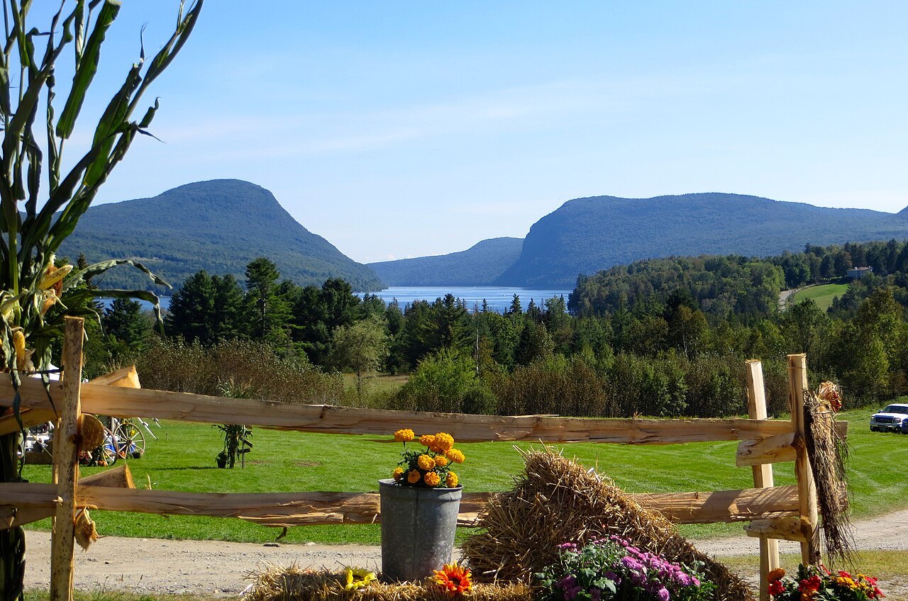
Lake Champlain is 107 miles long, shared between Vermont and New York and reaching north into Québec. The page follows the Vermont shore, with the islands of Grand Isle County, the Ordovician fossil reef at Isle La Motte, among the oldest reefs on earth, the three ferry routes and the bridge that opened in November 2011 at Chimney Point.
The Green Mountains
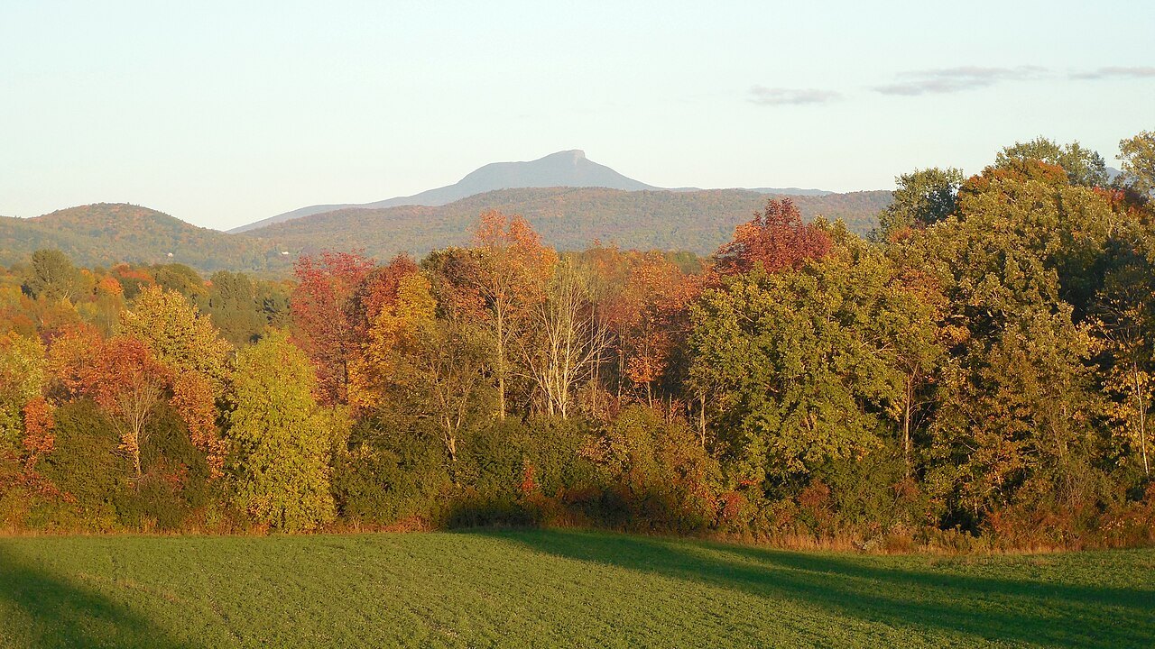
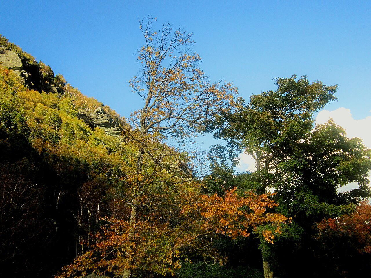
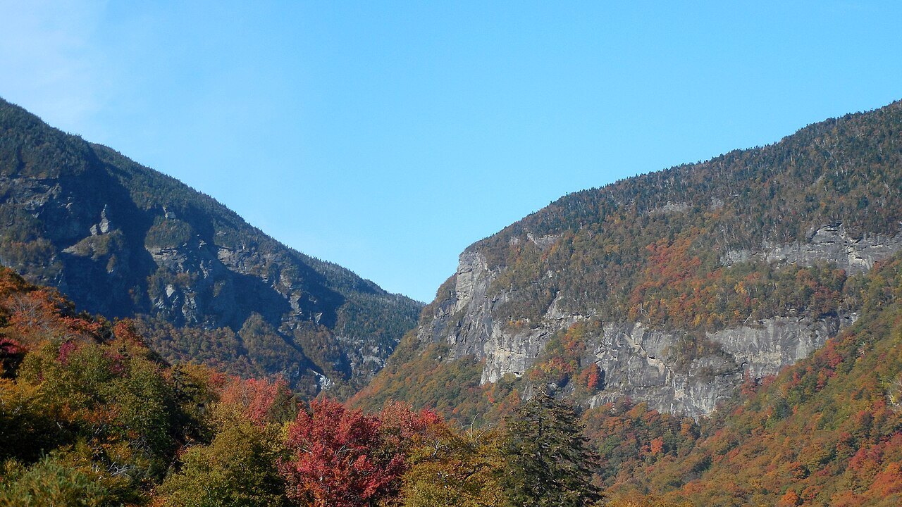
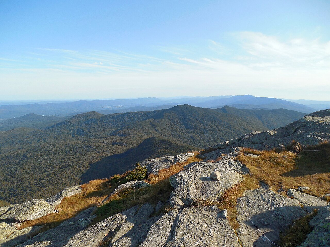
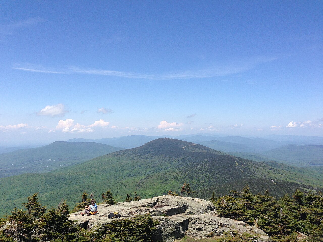
The range has four pages. Mount Mansfield, at 4,393 feet the highest mountain in Vermont, is covered with Smugglers' Notch, where two sets of facing cliffs stand close together at the base; about 200 acres of alpine tundra survive on its summit, one of only three such places in the state. Camel's Hump is tied for the third-highest at 4,083 feet, with ten acres of tundra, two humps and trails through forests that escaped the fire of 1903.
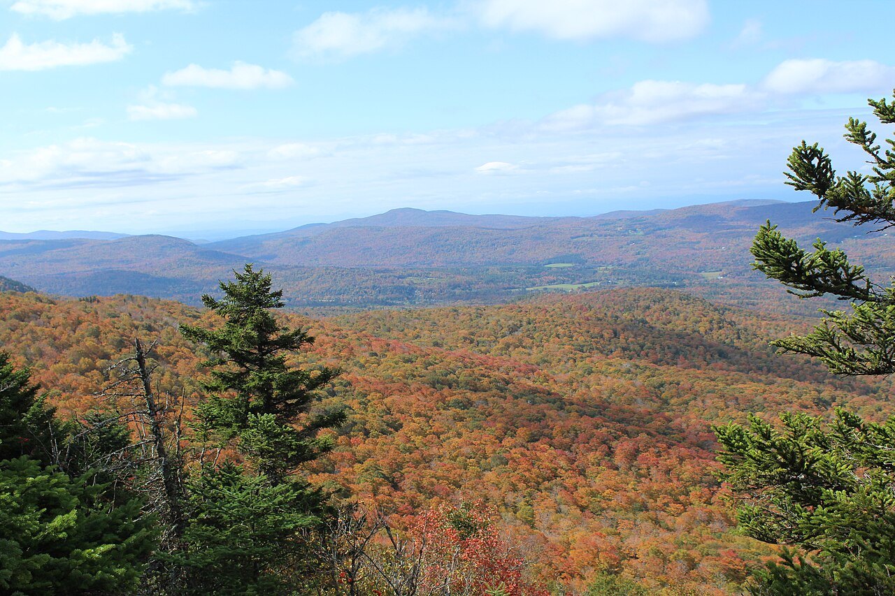
The Green Mountains and the Long Trail covers the 273-mile ridge path, the oldest long-distance trail in the country, built by the Green Mountain Club, which was founded in Burlington in 1910, as well as the Green Mountain National Forest. Killington is the largest ski area in the eastern United States, with six peaks sharing one trail network and the largest vertical drop in New England at 3,050 feet.
The valleys and villages
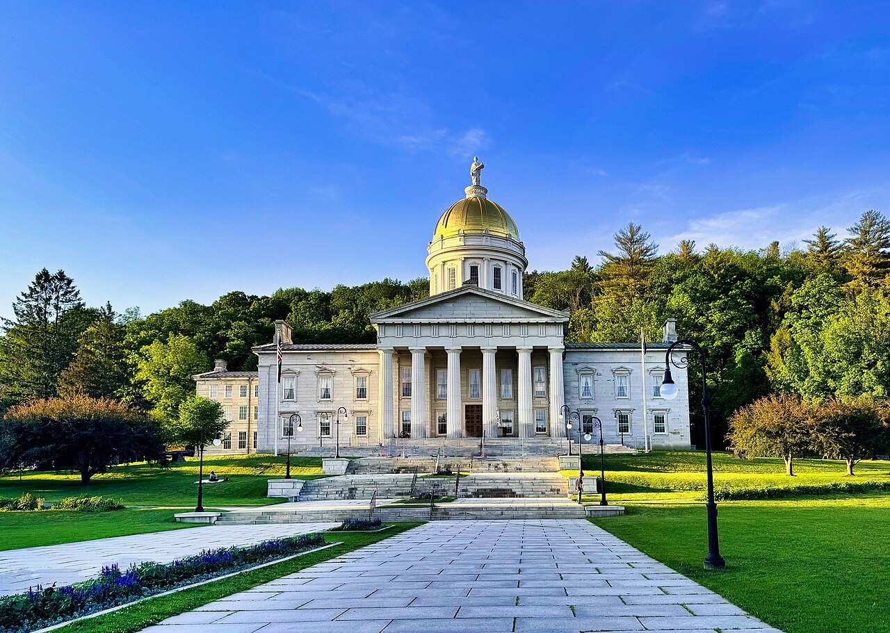
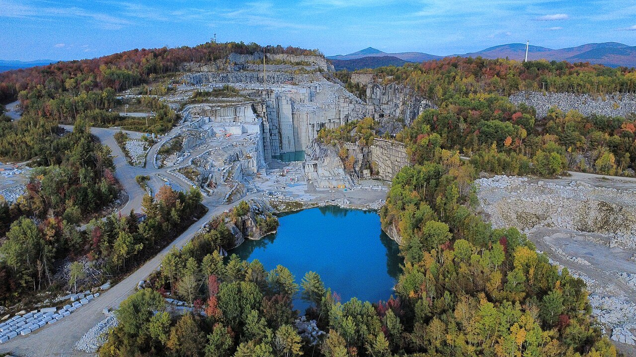
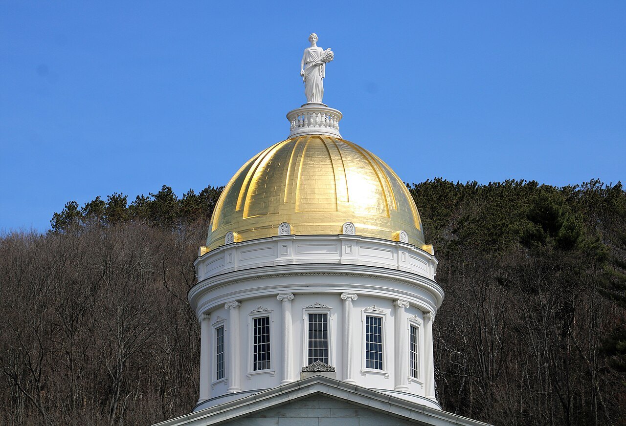
Four landmarks belong to the center. The State House in Montpelier is the smallest state house in the United States, under a gold-leaf dome that is copper on a wooden frame, with a Doric granite portico, eight marble tablets in the Hall of Inscriptions and thirty black walnut chairs from 1859 still in the Senate. Barre granite covers the self-proclaimed Granite Center of the World, with Millstone Hill, the E. L. Smith Quarry and the Vermont Granite Museum in a shed of 1895.
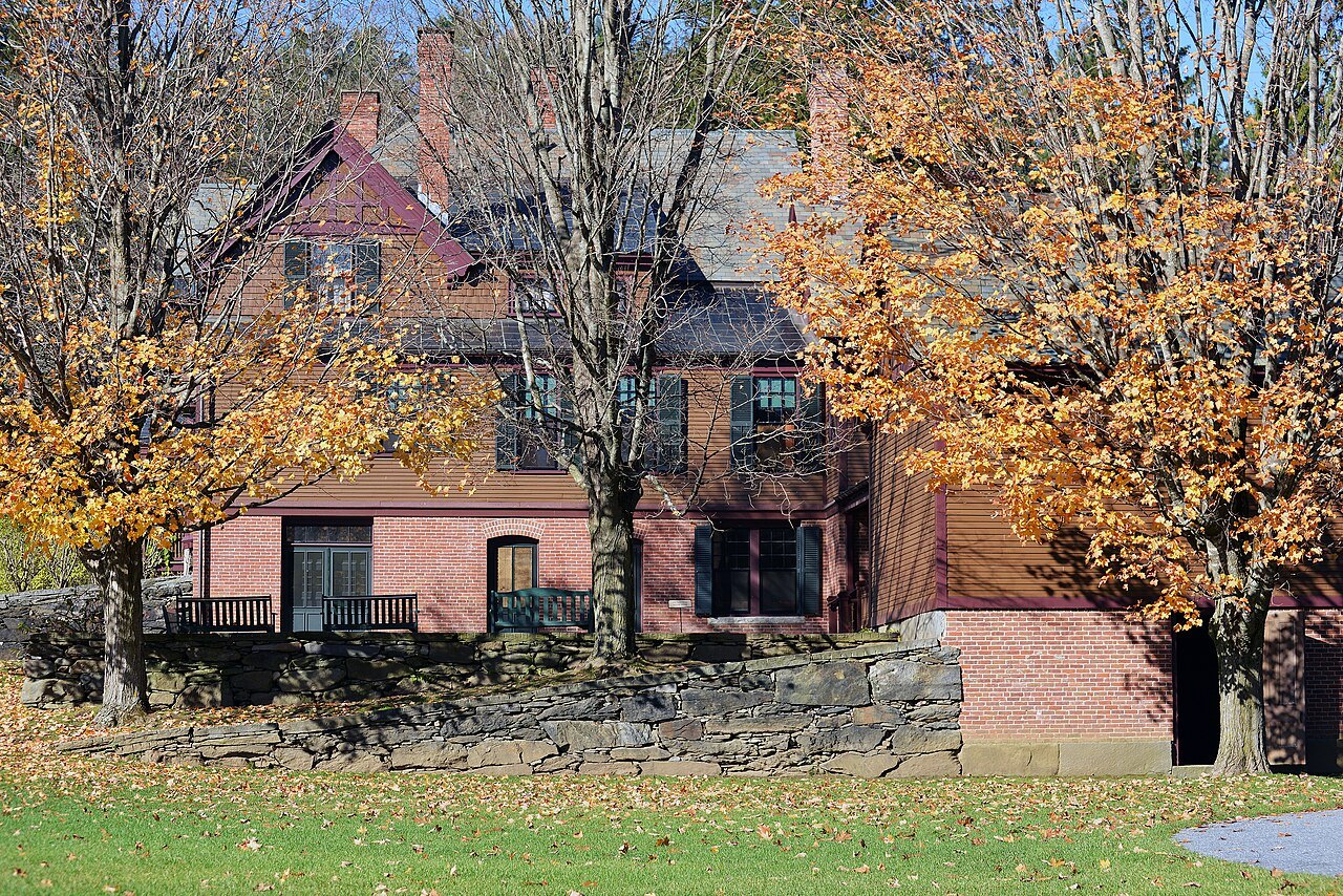
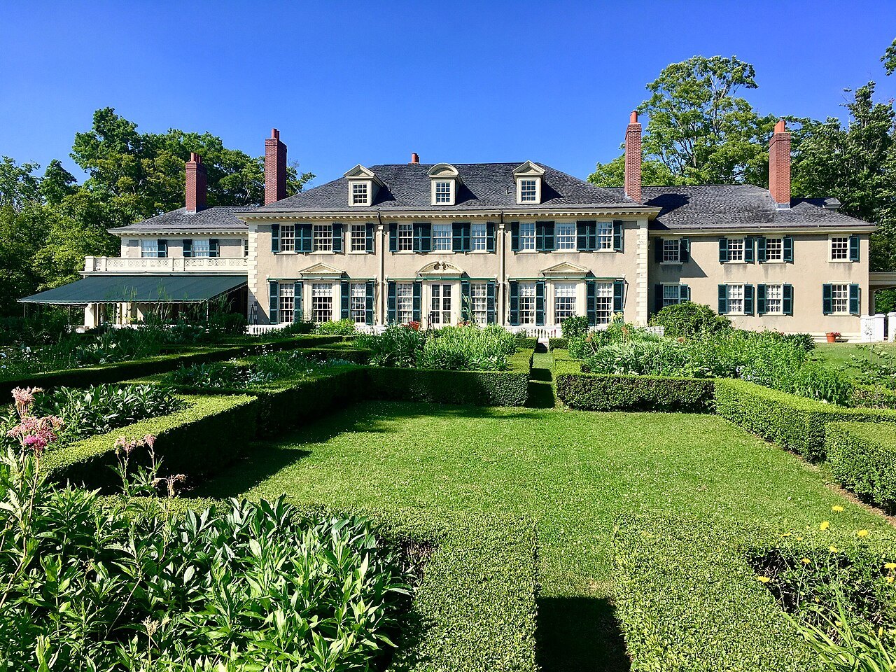
At Woodstock, Marsh-Billings-Rockefeller National Historical Park preserves 600 acres of managed forest, 14 miles of carriage roads and a mansion that is a National Historic Landmark, with the Billings Farm and Museum across the road. Plymouth Notch is the village where Calvin Coolidge grew up, with the homestead, the room of the 1923 oath, the general store, the cheese factory and the cemetery where he is buried.
Southern Vermont
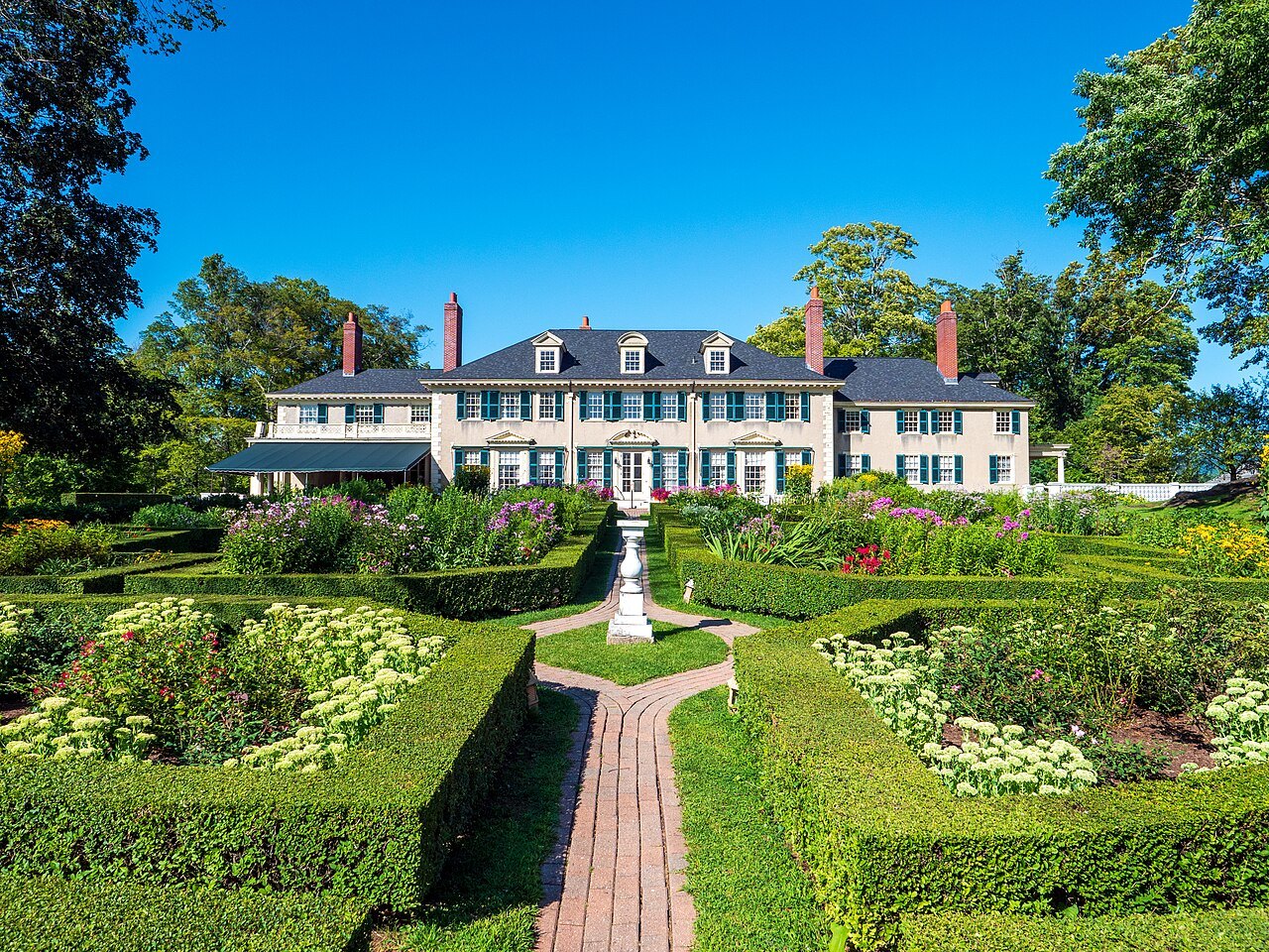
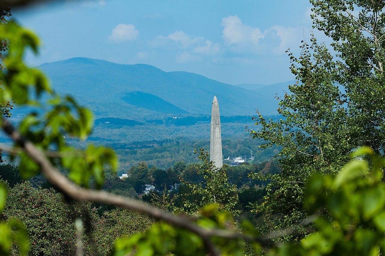
Three landmarks lie in the south. Hildene is the summer home of Robert Todd Lincoln, completed in 1905, with a formal garden planted in 1907 in the pattern of a cathedral window, a pipe organ of 1908 and a Pullman car of 1903. Bennington is a 306-foot tower finished in November 1889 to commemorate the Battle of Bennington, with an observation level at 200 feet and the old village nearby, where Robert Frost is buried.
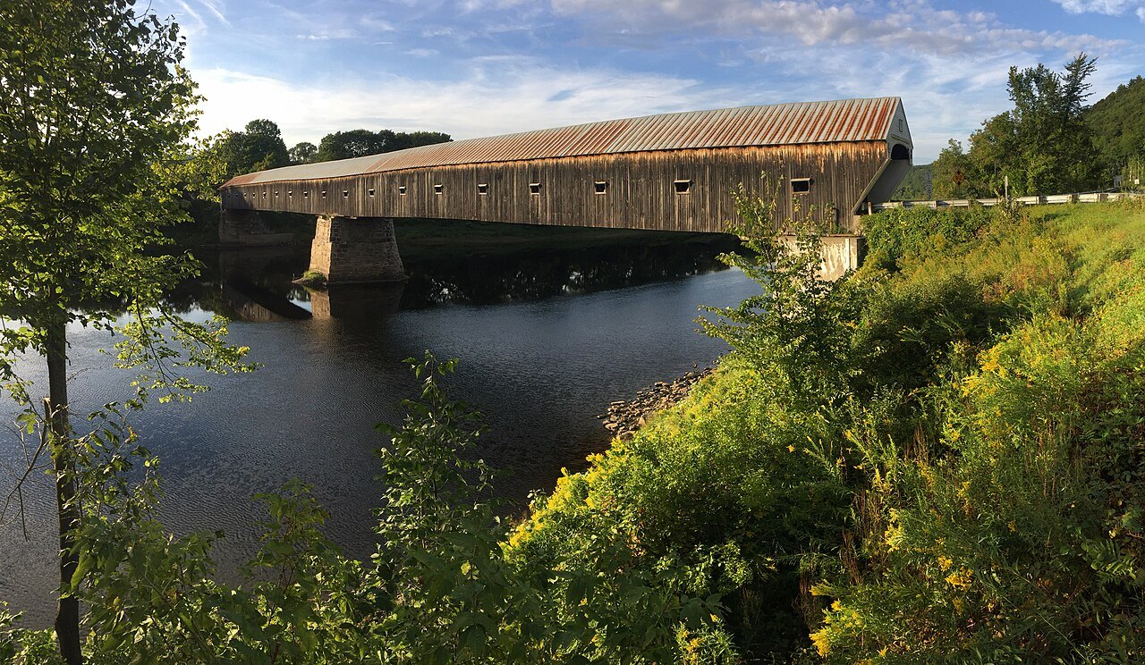
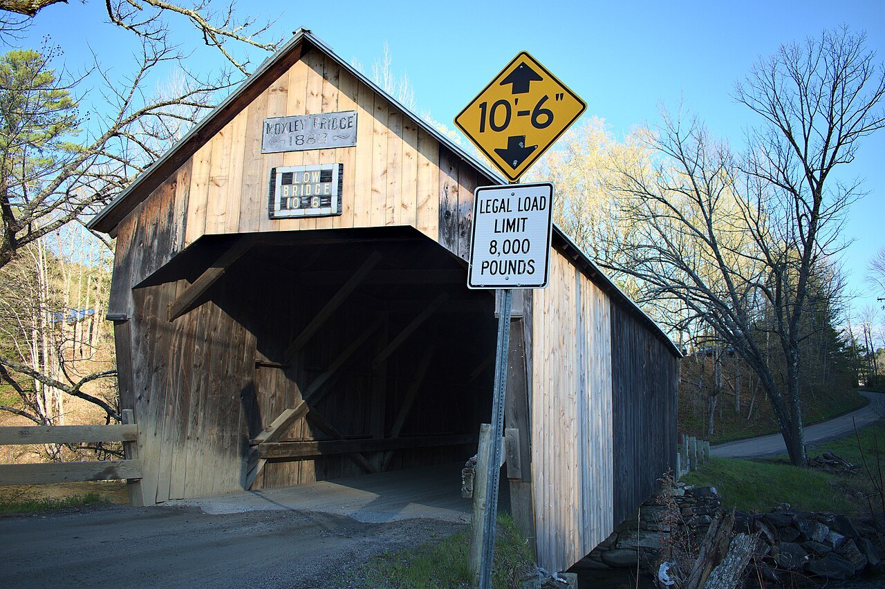
The covered bridges page covers the state's bridges, led by the Cornish–Windsor Covered Bridge of 1866, about 449 feet long, which was the longest covered bridge standing in the United States until 2008; it also covers the Taftsville bridge of 1836 and Montgomery, the town with the most, seven.
The Northeast Kingdom
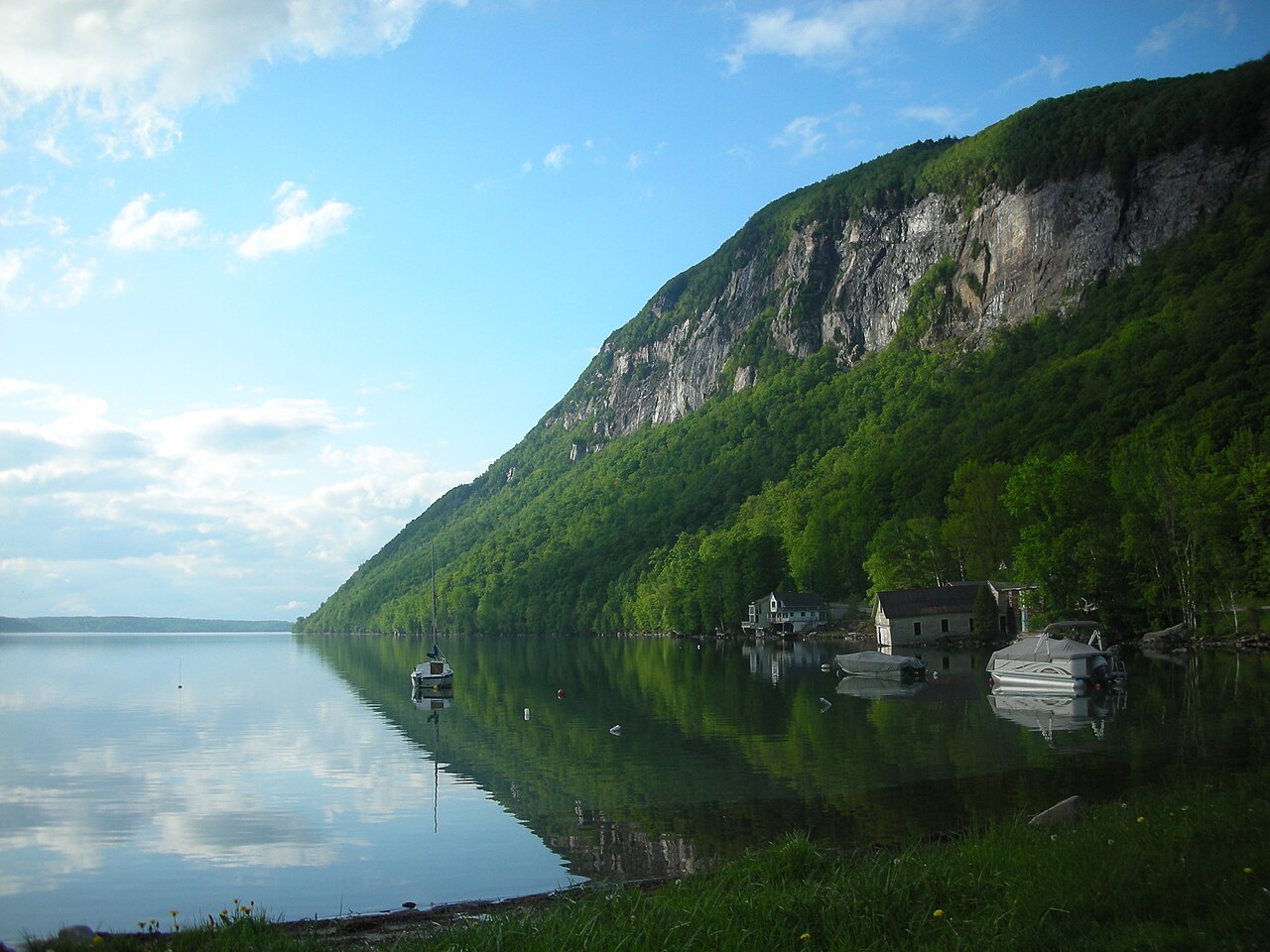
The kingdom has two. Lake Willoughby is over 300 feet deep in places, potentially the deepest lake entirely within New England, lying in the gap between Mount Pisgah and Mount Hor, with Pulpit Rock, a public beach and the 7,682 acres of Willoughby State Forest around it.
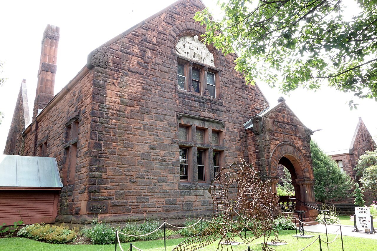
St. Johnsbury is the only National Historic Landmark in the Northeast Kingdom: the Athenaeum, a library and Victorian art gallery of 1873, and the Fairbanks Museum, finished in 1891, with Vermont's only public planetarium and a weather station that has forecast from the museum since 1893.
How to use the pages
Each landmark page opens with a short summary, lists the features that matter, gives the history and ends with planning notes, including what to check before you go. The pages link to the town pages for the nearest places to stay and eat, and to the other landmarks nearby.
The guide does not sell, book or reserve tickets, rooms or tours, and the landmark pages carry no affiliate links. Opening arrangements change; confirm them with the places themselves before you travel, and use the itineraries page to see how the landmarks combine into days.