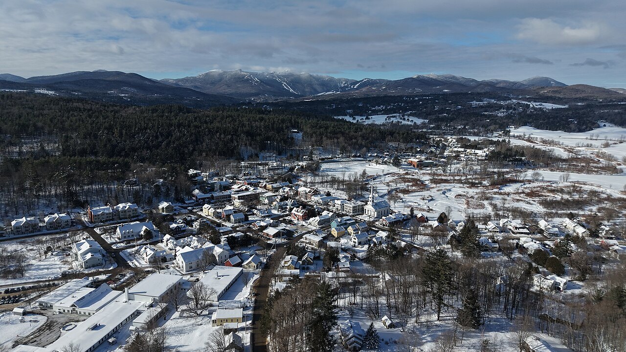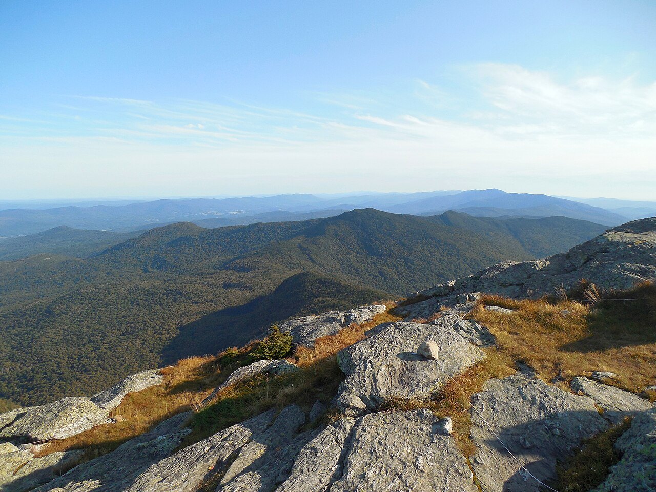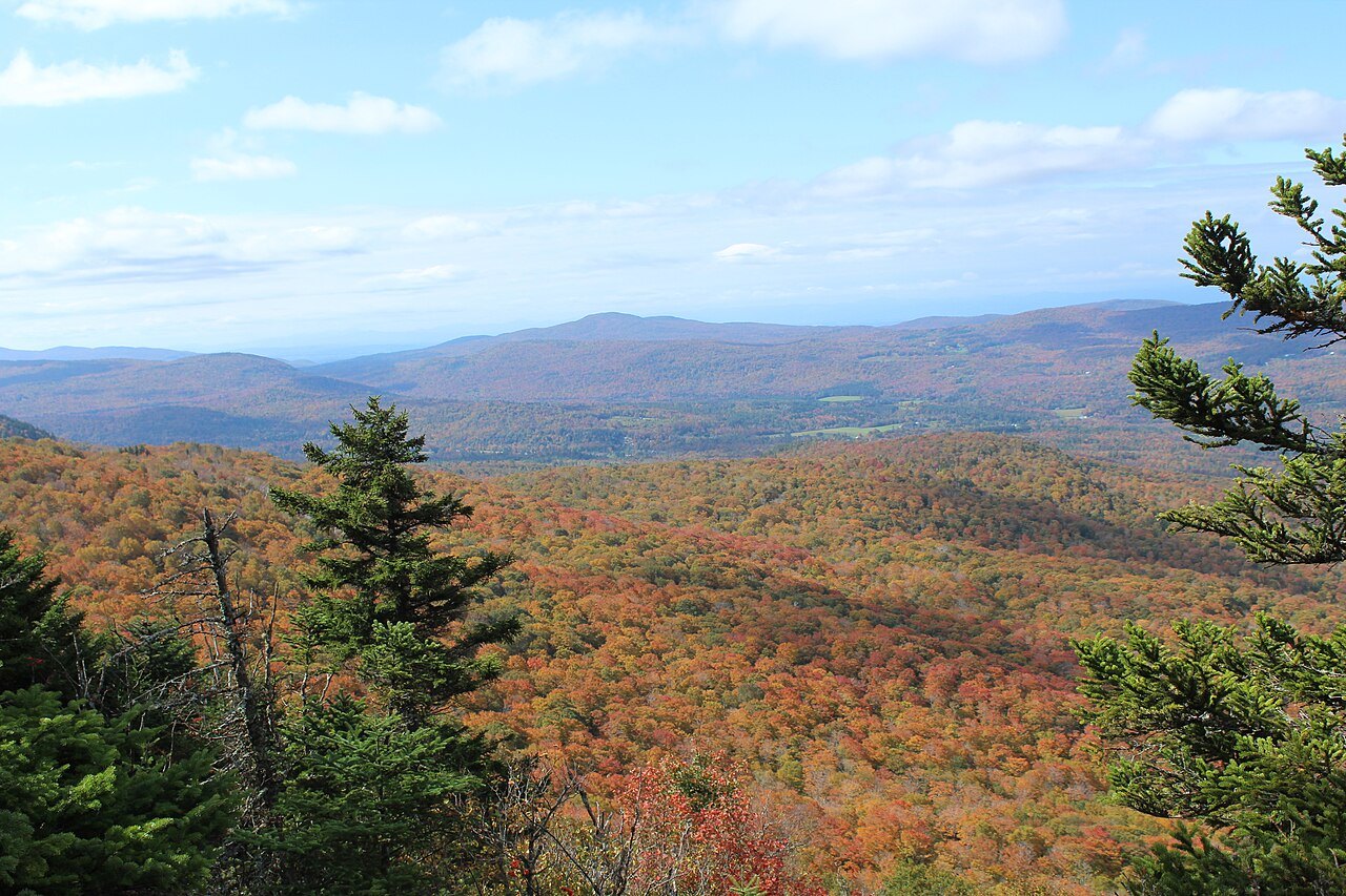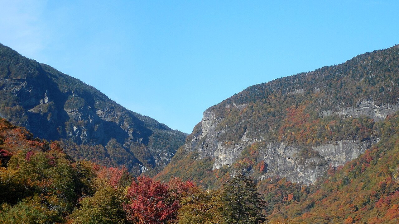
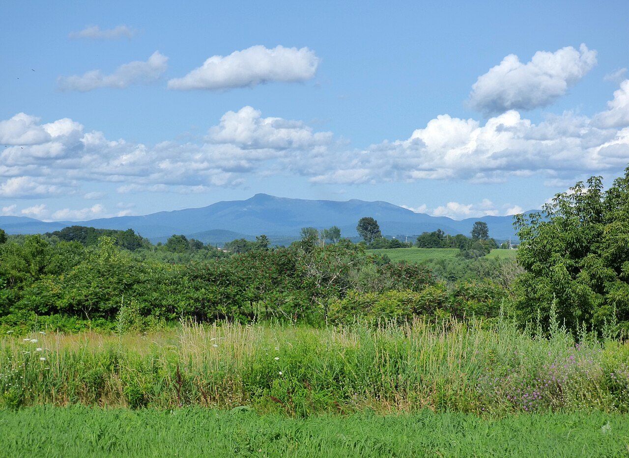
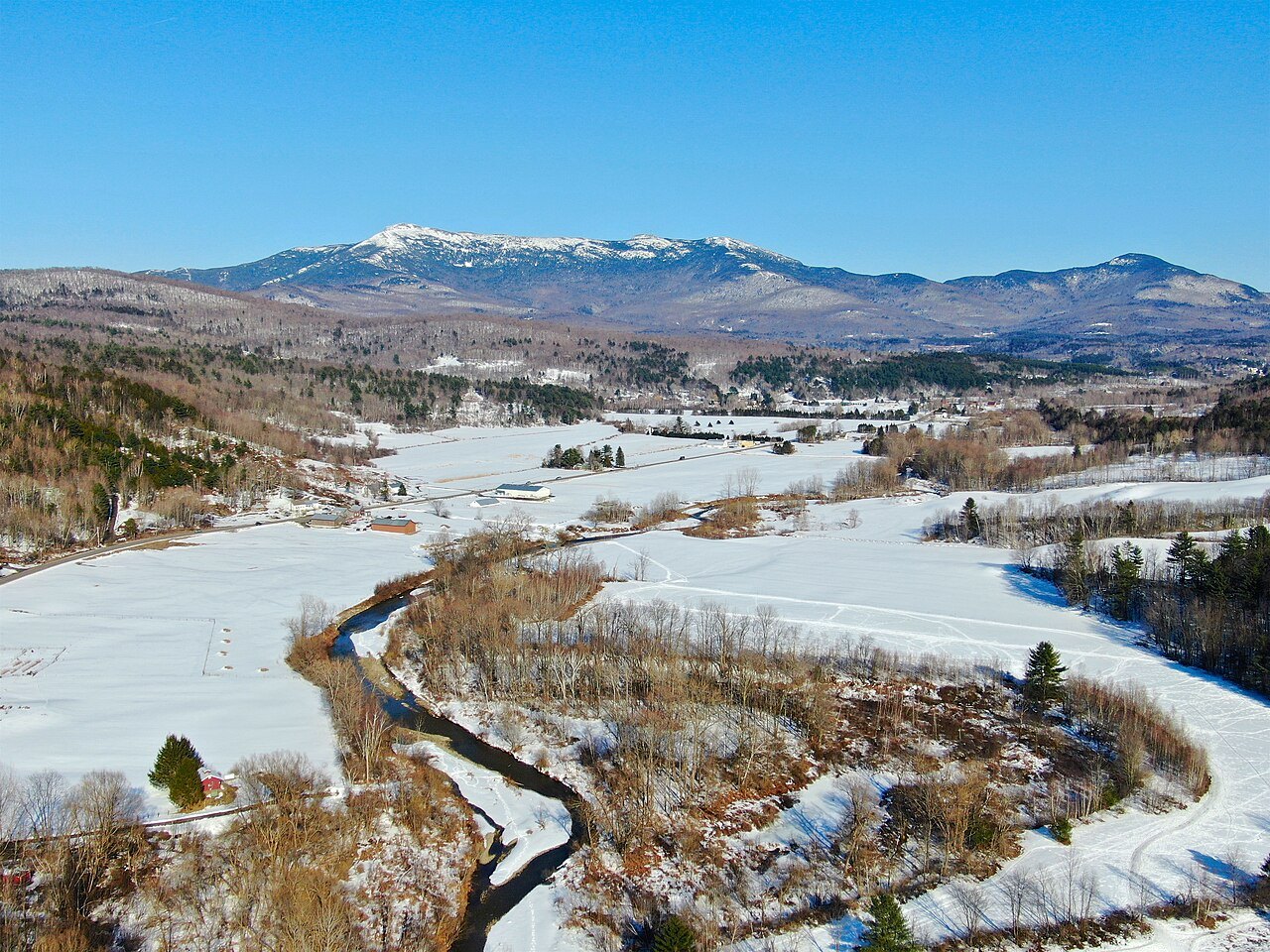
Mount Mansfield and Smugglers' Notch, the high ridge above Stowe
Photographs: Niranjan Arminius, Wikimedia Commons, CC BY-SA 2.0 · Niranjan Arminius, Wikimedia Commons, CC BY-SA 4.0 · John Mackenzie Burke, Wikimedia Commons, CC BY-SA 4.0
The Green Mountains · landmark 3 of 15
At 4,393 feet, Mount Mansfield is the highest mountain in Vermont, a ridge shaped like a human profile, and beside it Smugglers' Notch cuts a pass between facing cliffs.
- The ChinThe highest point in Vermont, 4,393 feet, set in the town of Underhill.
- The NoseCarries the transmitter towers, and sits at the end of a steep toll road from Stowe.
- Alpine tundraAbout two hundred acres survive on the summit, one of only three such places in Vermont.
- The Long TrailFollows the main ridgeline across the forehead, nose and chin.
- Smugglers' NotchA pass on Route 108 where two sets of facing cliffs stand three yards apart at the base.
- Sterling Pond trailRises 900 feet from the state park campground to a pond.
Why it matters
Mount Mansfield is the highest mountain in Vermont, reaching 4,393 feet above sea level, and it is the highest peak in the Green Mountains. Its summit sits in the town of Underhill in Chittenden County. The ridgeline runs on into Stowe, in Lamoille County, and the flanks of the mountain also reach into Cambridge.
It is a mountain that people recognize from far off, because the ridge looks like a face in profile, and it is one of the few places in the state where a visitor can walk above the trees on ground that has not changed since the Ice Ages. Stowe lies at its eastern foot, and the Notch road through the pass beside it is one of the best-known short drives in the state.
The face in the ridge
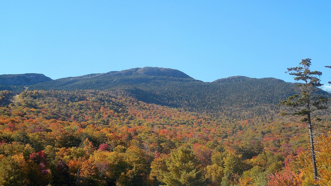
Seen from the east or the west, the mountain has the outline of a long human profile, with a distinct forehead, nose, lips, chin and Adam's apple. The features read best from the east. Unlike most faces, the chin is the highest point. The Abenaki describe the same mountain as having the appearance of a moose, and before the middle of the eighteenth century it was known by an Abenaki name, Mozôdebiwajok, which translates to Moosehead Mountain.
The ridge that forms the head is aligned roughly north to south, with the Adam's apple at the north end and the forehead at the south. From the north, looking south, it appears as a triangular peak. A town boundary cuts across the profile: the Chin is in Underhill and the Nose is in Stowe.
Alpine tundra above the trees
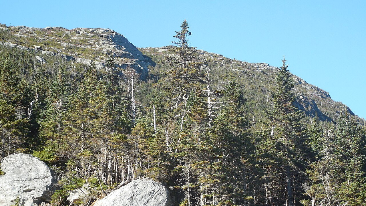
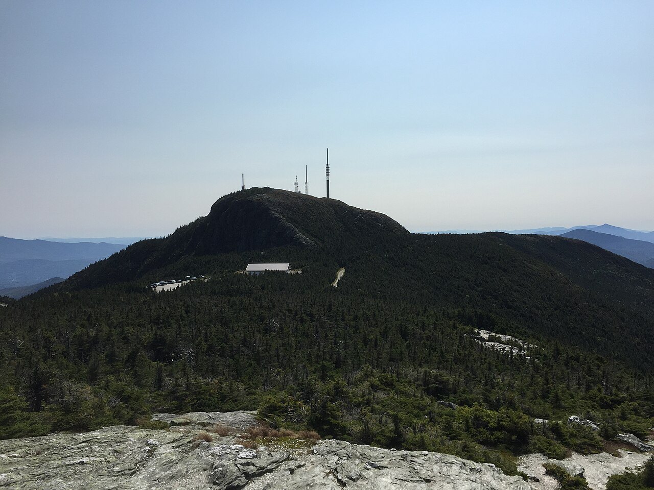
Mount Mansfield is one of three places in Vermont where true alpine tundra survives from the Ice Ages. A few acres remain on Camel's Hump and on Mount Abraham, to the south, but the summit of Mansfield still holds about two hundred acres. In 1980 the National Park Service designated the Mount Mansfield Natural Area a National Natural Landmark.
The mountain stands in Mount Mansfield State Forest, and many hiking trails cross it. The Long Trail, which runs the length of the state, follows the main ridgeline, and the trail is described with the rest of the range on the Long Trail and Green Mountains page. The rock underfoot is a mica-albite-quartz schist common to the range, with stony soils and a good deal of bare outcrop around the summit.
How the mountain got its name
The name comes from a town that no longer exists. The colonial governor of New Hampshire, Benning Wentworth, chartered a town he called Mansfield, possibly after a chief justice of England, Lord Mansfield, who had joined another official in ruling in 1752 that the land between the Connecticut River and Lake Champlain belonged to New Hampshire and not to New York.
The town was laid out before anyone involved had seen the site, and when it was surveyed it turned out to be mostly mountainside. A few settlers farmed the lowlands, but the town was dissolved by degrees: the western part was annexed to Underhill in 1839 and the eastern part to Stowe in 1848, after a vote of the citizens. The dividing line does not follow the ridge exactly, which is why the Chin and the Nose belong to different towns.
The toll road and the ridge
A popular way up is the toll road, about four and a half miles long, a steep and mostly unpaved road with several hairpin turns that climbs from the Stowe base lodge to the Nose. The Nose carries the transmitter towers of a number of regional radio and television stations. From there, walkers follow the Long Trail along the ridge to the Chin.
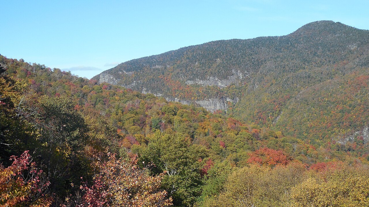
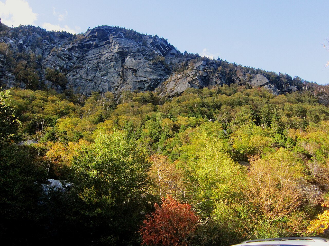
Rock climbers and hikers use other routes. At the northeastern side of the mountain there are cliffs, and at the foot of the cliffs on the western side of the Notch road there is a honeycomb network of talus caves.
Smugglers' Notch
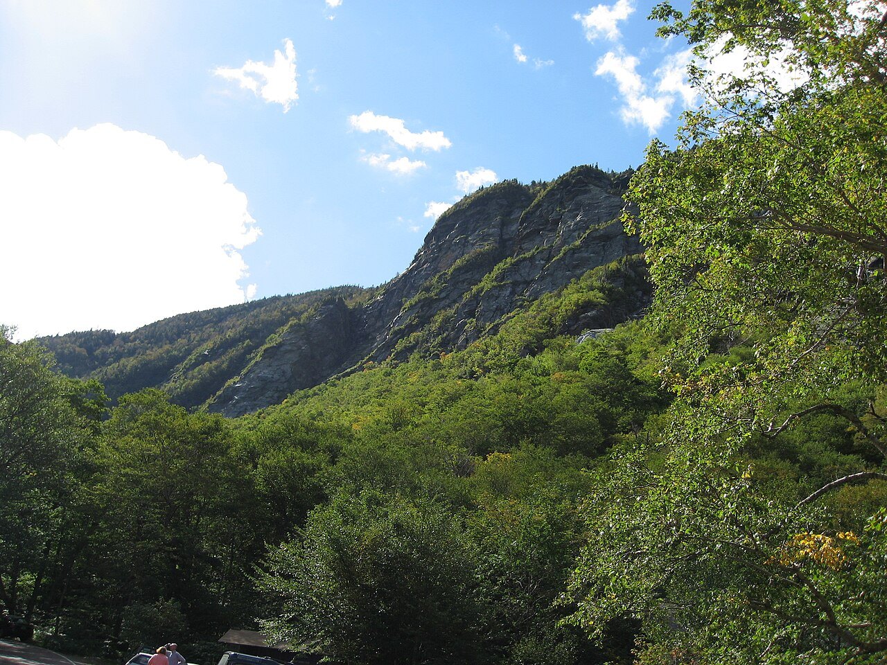
The notch separates Mount Mansfield from Spruce Peak and the Sterling Range, and Smugglers' Notch State Park stands in it at an elevation of 2,119 feet. The name goes back to the Embargo Act of 1807, which Congress passed at the urging of President Thomas Jefferson to keep the United States out of the Napoleonic Wars. The act banned trade with Great Britain and Canada, and Vermonters carried goods and herded livestock north through the notch anyway, using the caves as hiding places. Most of that trade slowed with the War of 1812.
The notch had two later uses. Fugitives from slavery used it as an escape route to Canada, and after the route was improved for automobiles in 1922 it carried liquor south from Canada during Prohibition. The state park itself was built in 1936 by the Civilian Conservation Corps, and in 2003 the park was relocated to make room for a larger campground; the original structures were moved with it.
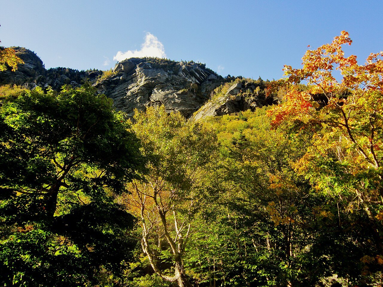
Vermont Route 108 climbs through the notch. It begins at Route 100 in Stowe and runs through the pass to Jeffersonville. The road is very steep and winding and cannot be plowed in winter, so it closes between the state forest parking lot and the Smugglers' Notch Resort, usually from late October until May. Tractor-trailers are barred from the section. Small parking areas along the road serve climbers and hikers, and the Sterling Pond trail starts at the park and rises 900 feet to a pond that allows fishing and swimming.
Skiing on the mountain
The east side of Mansfield is the home of Stowe Mountain Resort, one of the oldest ski areas in the United States. The Civilian Conservation Corps cut the first trails here in 1933, and the Mount Mansfield Ski Patrol, founded in 1934, was the basis of the National Ski Patrol. In 1940 Stowe installed the first single chair in Vermont. The lift-served vertical drop on Mansfield is 2,360 feet, the fifth largest in New England, and a group of steep trails known as the Front Four, Goat, Starr, National and Liftline, has little grooming and many natural hazards. Cross-country trails run around the base and on the lower slopes.
Smugglers' Notch Resort, on the other side of the pass, also offers skiing.
Weather and planning
Mount Mansfield stands in a boreal temperate rainforest and receives more than 80 inches of precipitation a year. Winters on the mountain are long, cold and snowy, lasting from November through April, with snowfall averaging 235 inches a year, and snow has been recorded on the summit in every month of the year. Summer days are warm with cool nights. Dress for the summit, not for the base.
Pair the mountain with the village of Stowe and with the drive down Route 100, and with Camel's Hump to the south for a second summit of tundra. The scenic drives page covers the notch road as part of a loop.