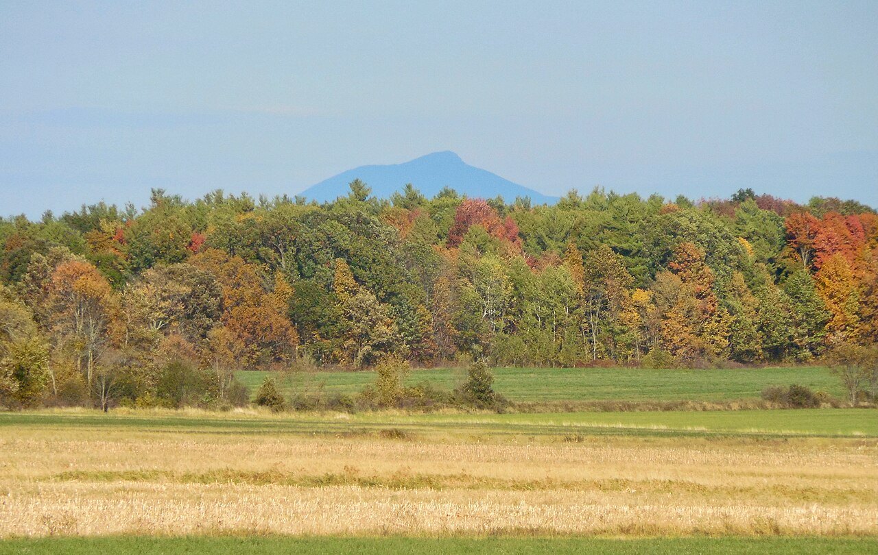
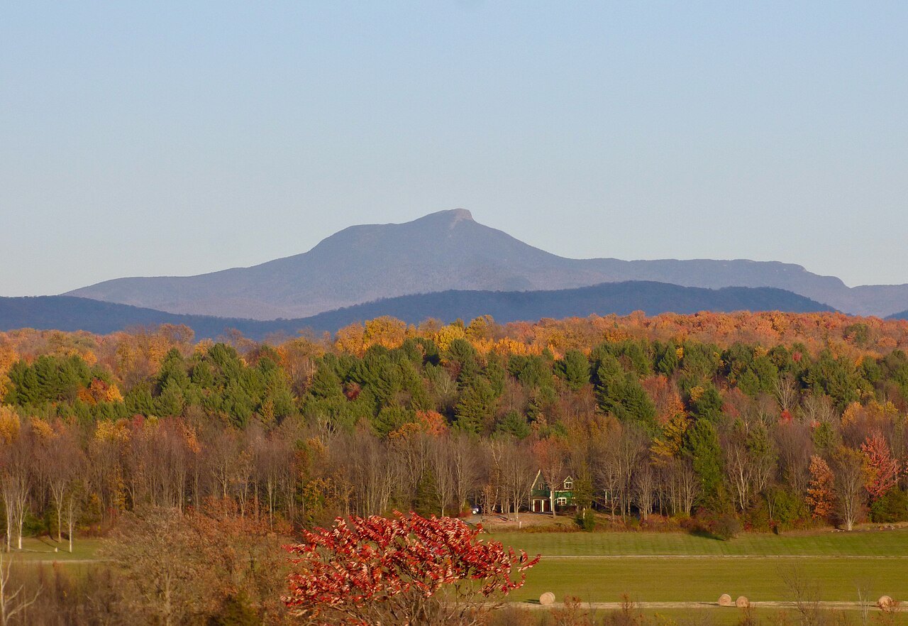
Camel's Hump, the mountain on the state quarter
Photographs: Niranjan Arminius, Wikimedia Commons, CC BY-SA 4.0 · Niranjan Arminius, Wikimedia Commons, CC BY-SA 4.0 · John Nicholas LeCounte Anderson, Wikimedia Commons, CC BY-SA 4.0
The Green Mountains · landmark 4 of 15
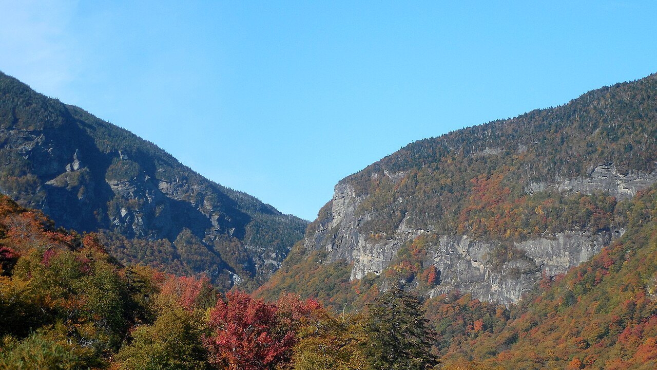
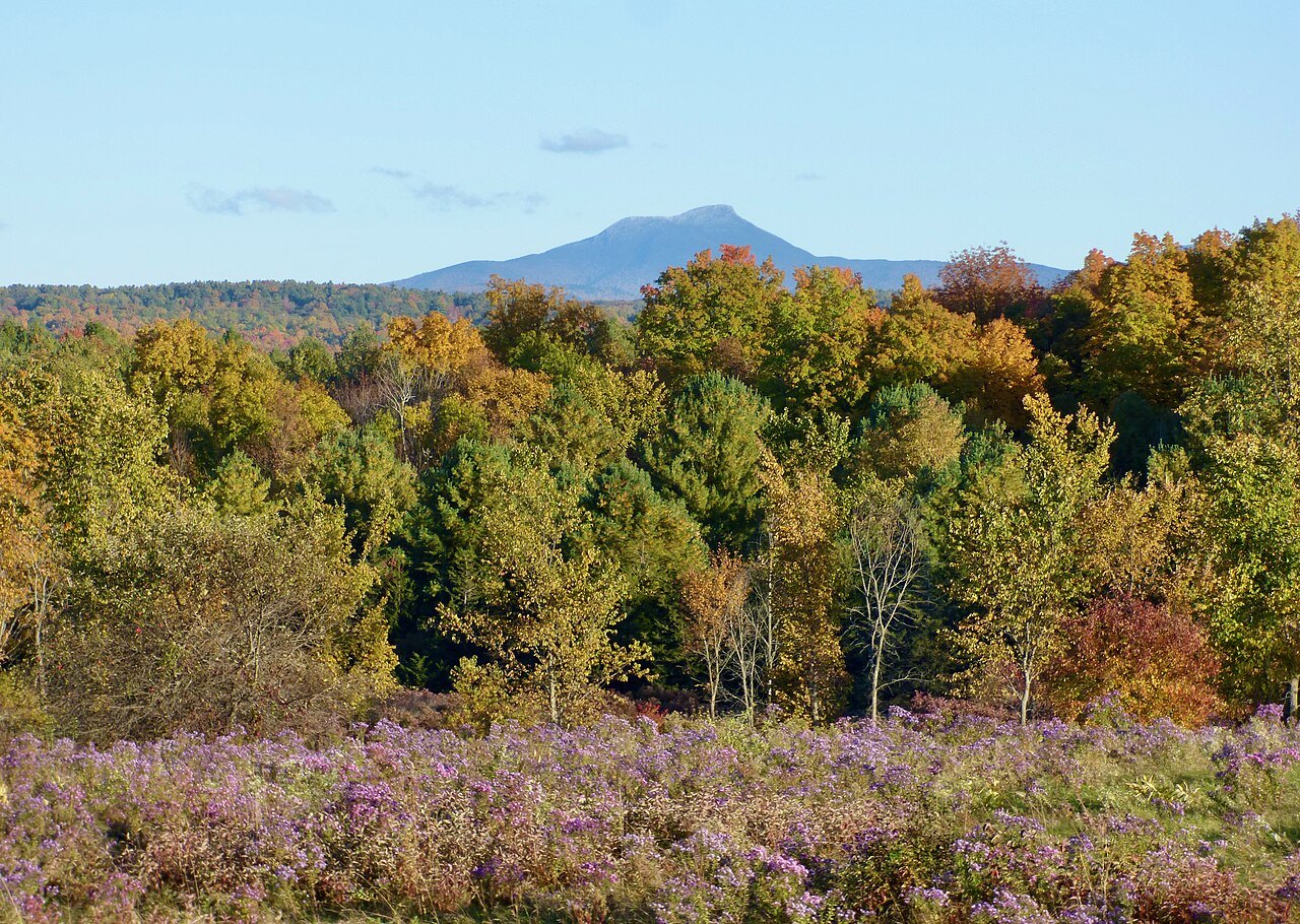
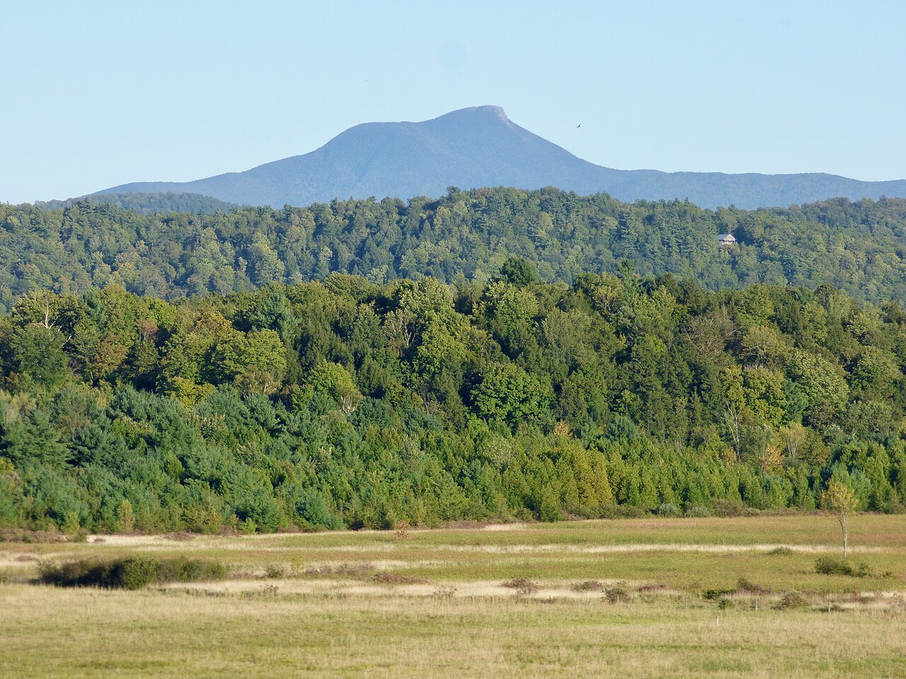
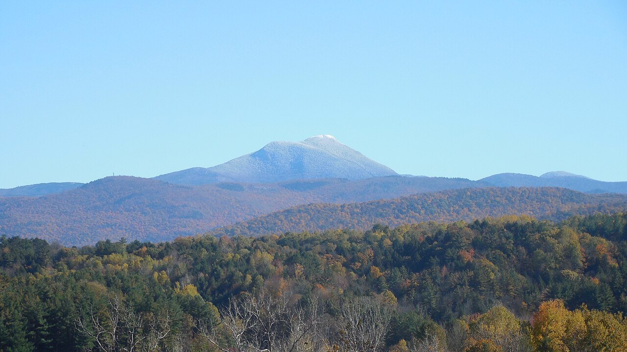
Camel's Hump rises 4,083 feet above the Winooski River, the third-highest mountain in Vermont and perhaps the most recognized, with a bare tundra summit and a profile that reached the state quarter.
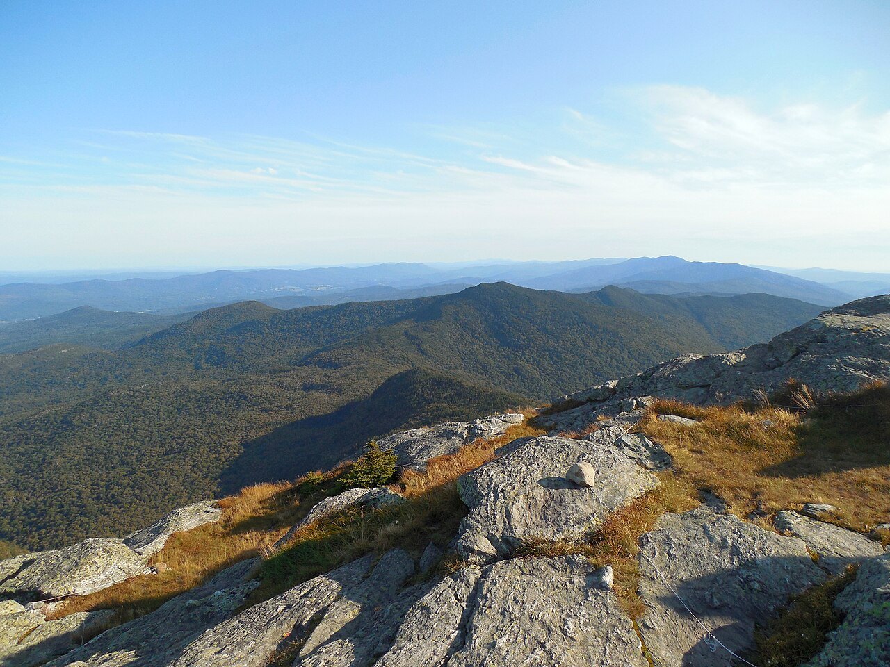
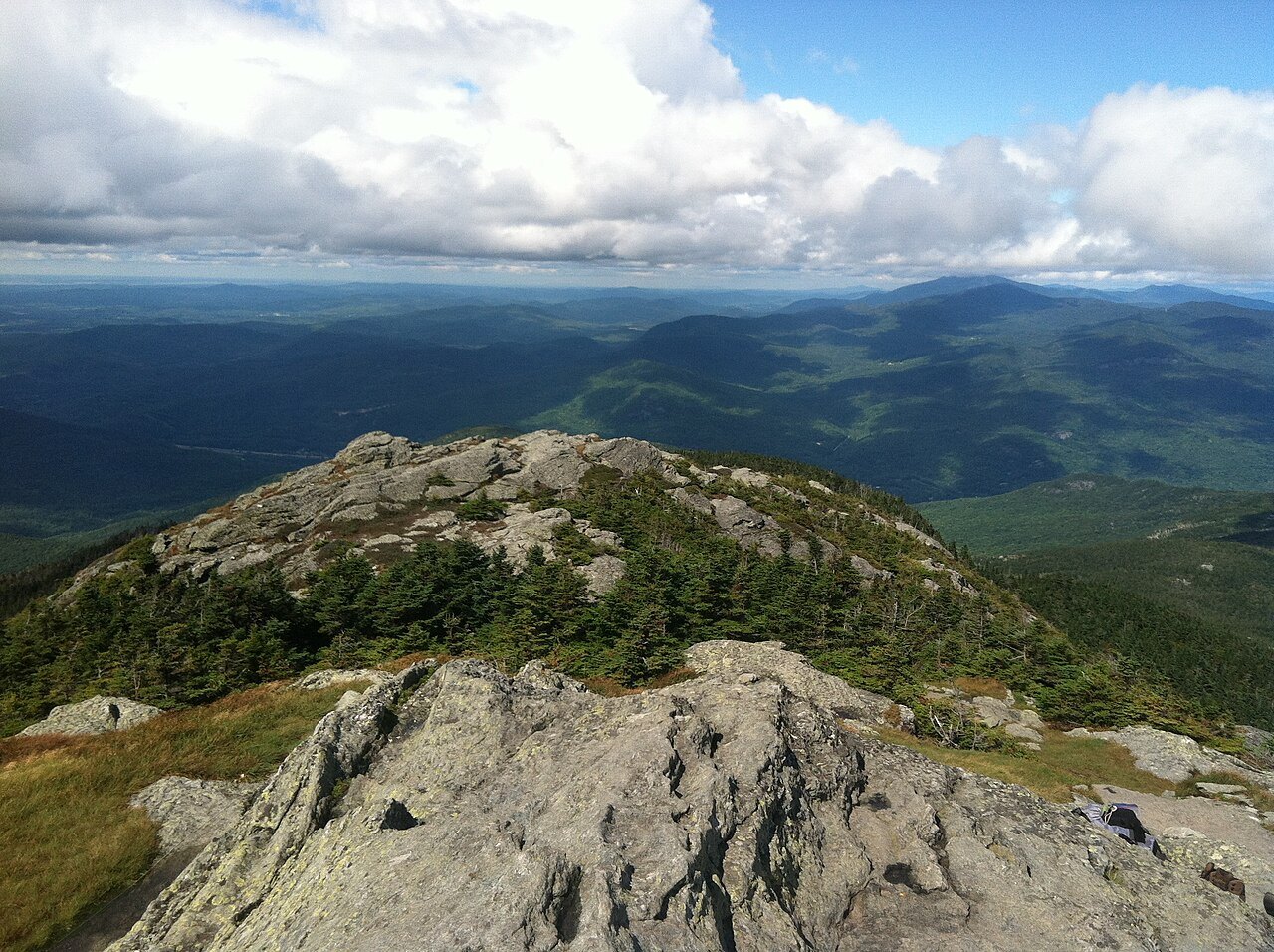
- The summitA bare crown of rock and ten acres of alpine tundra, with views to Mount Mansfield.
- The two humpsThe southern hump is the higher; a steep drop to the south was quarried by passing ice.
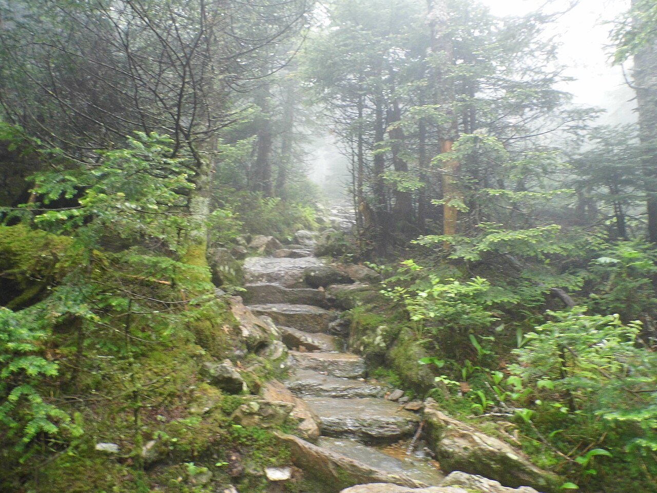
- Burrows TrailThe oldest trail on the mountain, through spruce-fir forest that escaped the 1903 fire.
- Monroe TrailBuilt in 1912, climbing the east face through paper birch that grew back after the fire.
- The Long TrailCrosses the summit north to south and passes the Montclair Glen Lodge.
- The bomber siteWreckage of a 1944 B-24J remains beside the Alpine Trail.
Why it matters
At 4,083 feet, Camel's Hump is tied with Mount Ellen for the third-highest mountain in Vermont. The summit carries ten acres of alpine tundra, and it is the most significant feature of Camel's Hump State Park. Because of its distinctive profile it is perhaps the state's most recognized mountain, and in 1999 a seven-person panel chose it for the Vermont state quarter, saying it was wild and natural like the Vermont countryside, and unique and asymmetrical like the independent and quirky reputation of Vermonters.
Unlike Mount Mansfield, which has a toll road and a ski resort, Camel's Hump is climbed by trail, and the summit is a place of rock, tundra and long views.
The shape and the ice
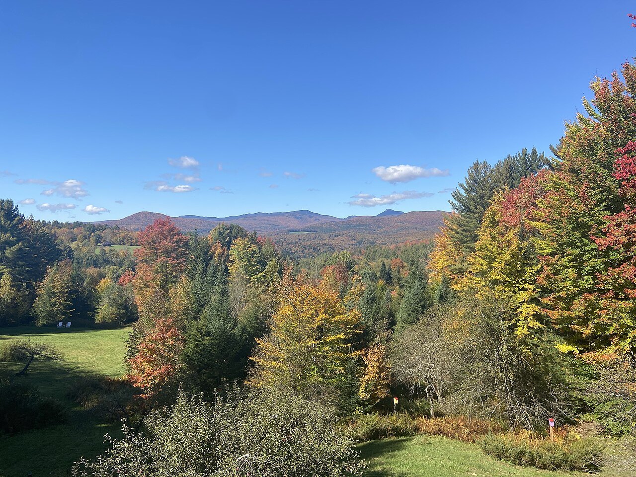
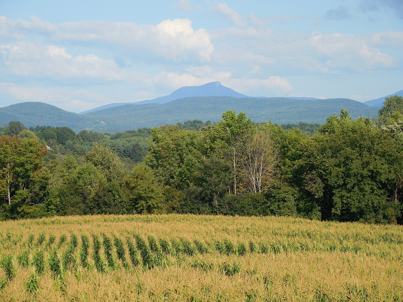
The mountain is better known for its shape than for its height. It stands apart from neighboring peaks, cut off by the Winooski Valley and by the action of glaciers, and its conical outline is distinctive, if a little misleading: it has two humps, with the southern one higher, and a steep drop to the south that the ice quarried as it passed over. Glacial movement left what geologists call a roche moutonnée. The bedrock is phyllite, quartzite and schist.
In 1968 the National Park Service designated Camel's Hump a National Natural Landmark, describing it as an exceptional illustration of the complex folding that formed the Green Mountains. The landmark covers about 5,300 acres from the summit down to 2,500 feet.
Names for a mountain
The Abenaki were the first to notice the shape, calling the mountain Moziozagan, the moose's shoulder. In 1609 Samuel de Champlain named it Le Lion Couchant, the resting lion. Ira Allen called it Camel's Rump on a map of 1798, and only in 1830 did the name Camel's Hump come into use. Another Abenaki name, Tawabodiiwajo, is translated as resting place or sit-down place.
The federal Board on Geographic Names has discouraged the apostrophe in names since 1890, so the mountain is written both ways. Local usage ignores the rule. The name has been borrowed by other Vermont institutions as well, including a children's radio show on Vermont Public Radio, Camel's Hump Radio, hosted by Bill Harley, and the profile also appears in the coat of arms on the state flag. Few other mountains in the state are so easy to recognize from a car window.
Tundra and spruce
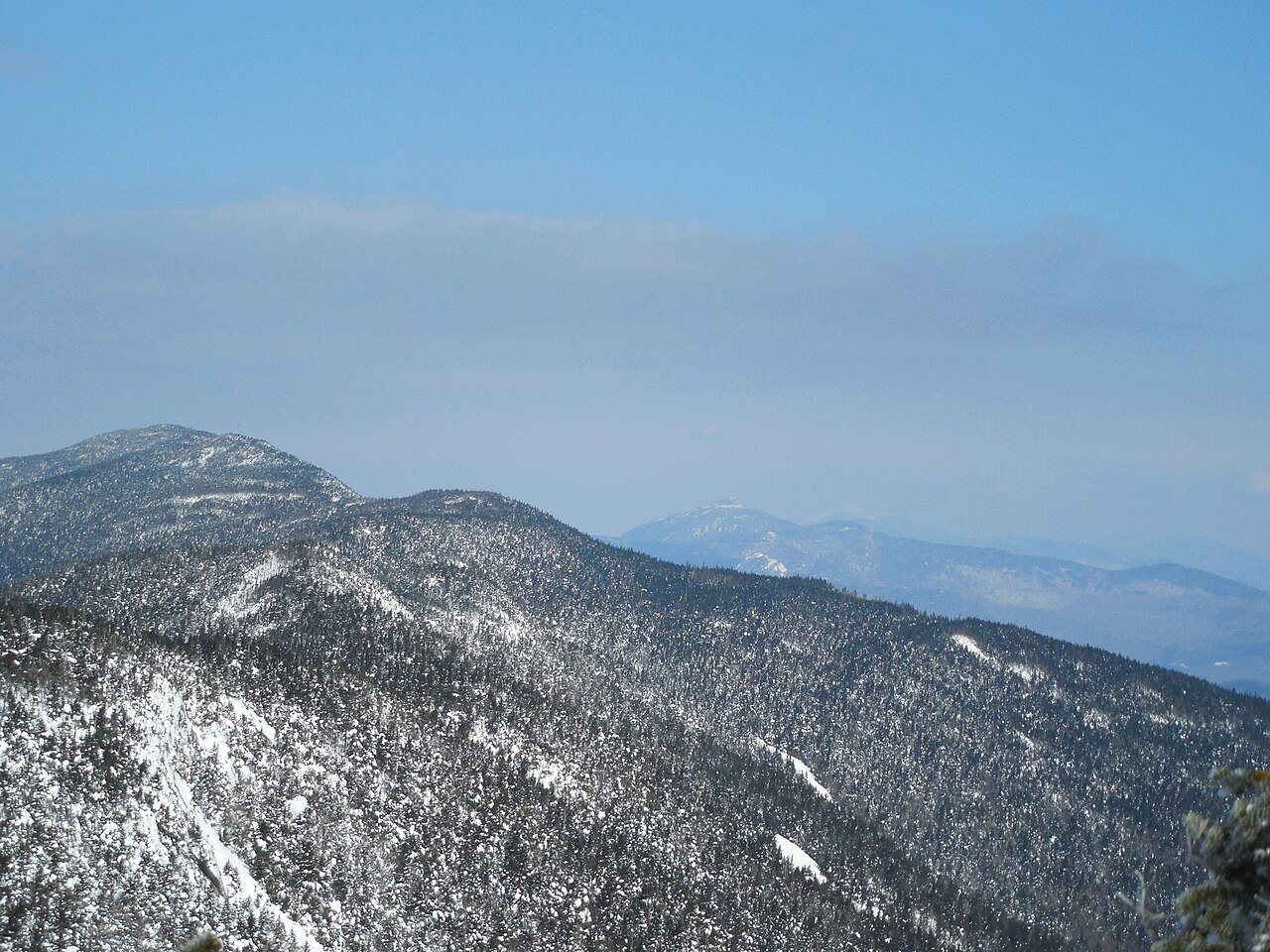
The summit holds ten acres of alpine tundra: Bigelow's sedge, alpine bilberry, mountain sandwort, crowberry, mountain cranberry and Labrador tea. These plants were once widespread and survive only where the peak stays cold. Eighteen species near the summit are thought to be rare or very rare, and five are protected under Vermont's endangered and threatened species rule. The Green Mountain Club pays a caretaker to live near the summit in summer and to teach hikers to stay on the trail.
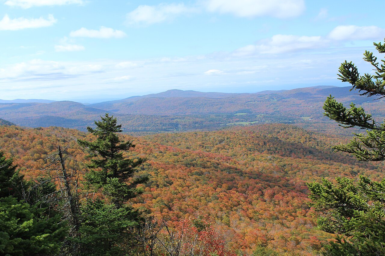
The forests below have a history of their own. Logging in the late 1800s and a great fire in 1903 left their mark, yet red spruce survives in numbers. From the 1960s Hub Vogelmann and his students at the University of Vermont documented a decline of red spruce on the west slope, and his 1982 paper, Catastrophe on Camel's Hump, traced it to acid rain. The findings raised public awareness and helped lead to a revision of the Clean Air Act.
A mountain given to the state
In 1905 the publisher and philanthropist Joseph Battell gave 1,200 acres of virgin forest, including the summit, to the State of Vermont, to be kept in a primitive state. The state forester took charge in 1911, a forest reserve enclosed the mountain in 1969, and by 1991 the park had grown to about 20,000 acres.
Trail work began when the Green Mountain Club was formed, and by 1912 a trail ran between the mountain and Sterling Pond. That trail became part of the Long Trail, described on the Long Trail and Green Mountains page.
The trails up
Two trailheads carry most of the traffic: the Burrows Trailhead east of Huntington and the Monroe Trailhead south of Duxbury. In 2016 almost 26,000 visitors signed the registers at the two. The Burrows Trail climbs the west face, about two miles to the Long Trail and then a short way south to the summit, and is the shortest and steepest route. The Forest City Trail follows an old logging road of the Forest City Lumber Company. The Monroe Trail climbs the east face, and the Dean Trail and the Alpine Trail join it.
The Alpine Trail passes the site of a bomber crash. In October 1944 a B-24J Liberator from Westover Air Force Base in Massachusetts struck the mountain about a hundred feet below the summit, killing nine crew members and leaving one survivor. A wing section still lies there.
The longest climb on the whole Long Trail starts from the parking lot on Duxbury Road, a one-way trip of about six and a half miles to the summit with more than 3,600 feet of elevation change.
From the summit
The views are panoramic. On a clear day a hiker can see the highest peaks of three states: Mount Marcy in New York, Mount Washington in New Hampshire and Mansfield in Vermont. A guidebook author has written that Camel's Hump may be Vermont's finest peak, with the only undeveloped alpine area in the state and a skyline unlike any other.
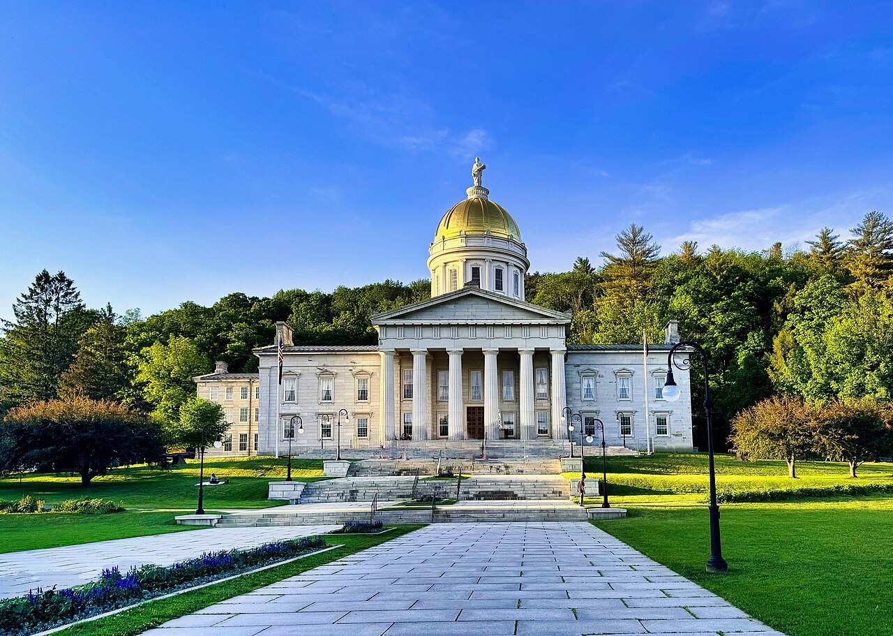
Plan for a full day, carry layers, and keep to the marked trail on the summit, where the plants are fragile. Nearby, the State House in Montpelier is a short drive east.