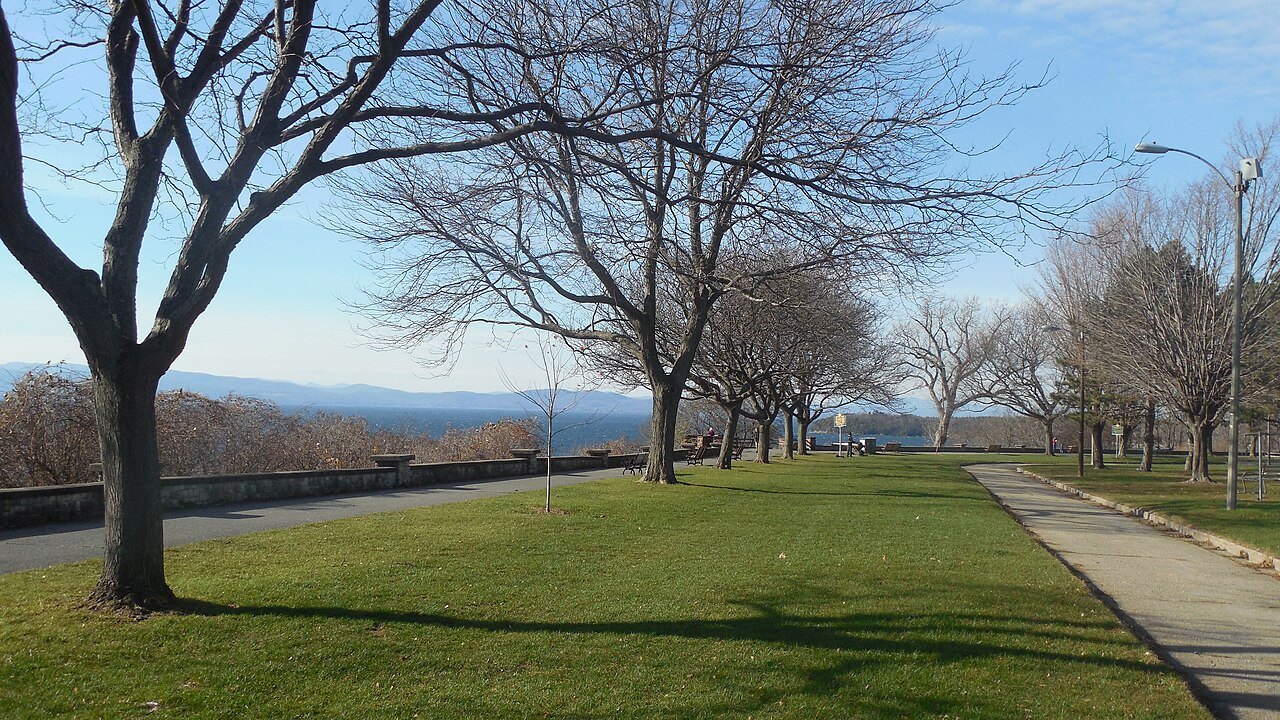
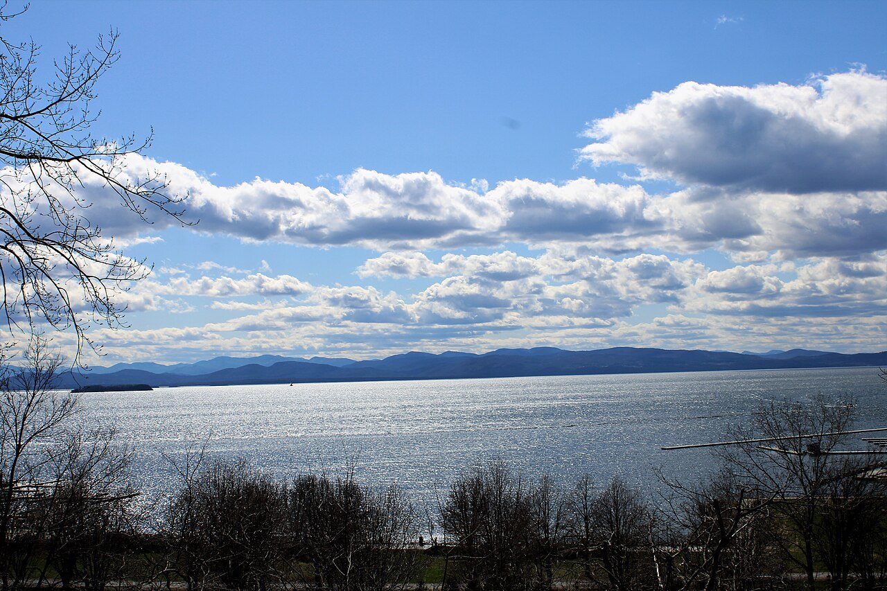
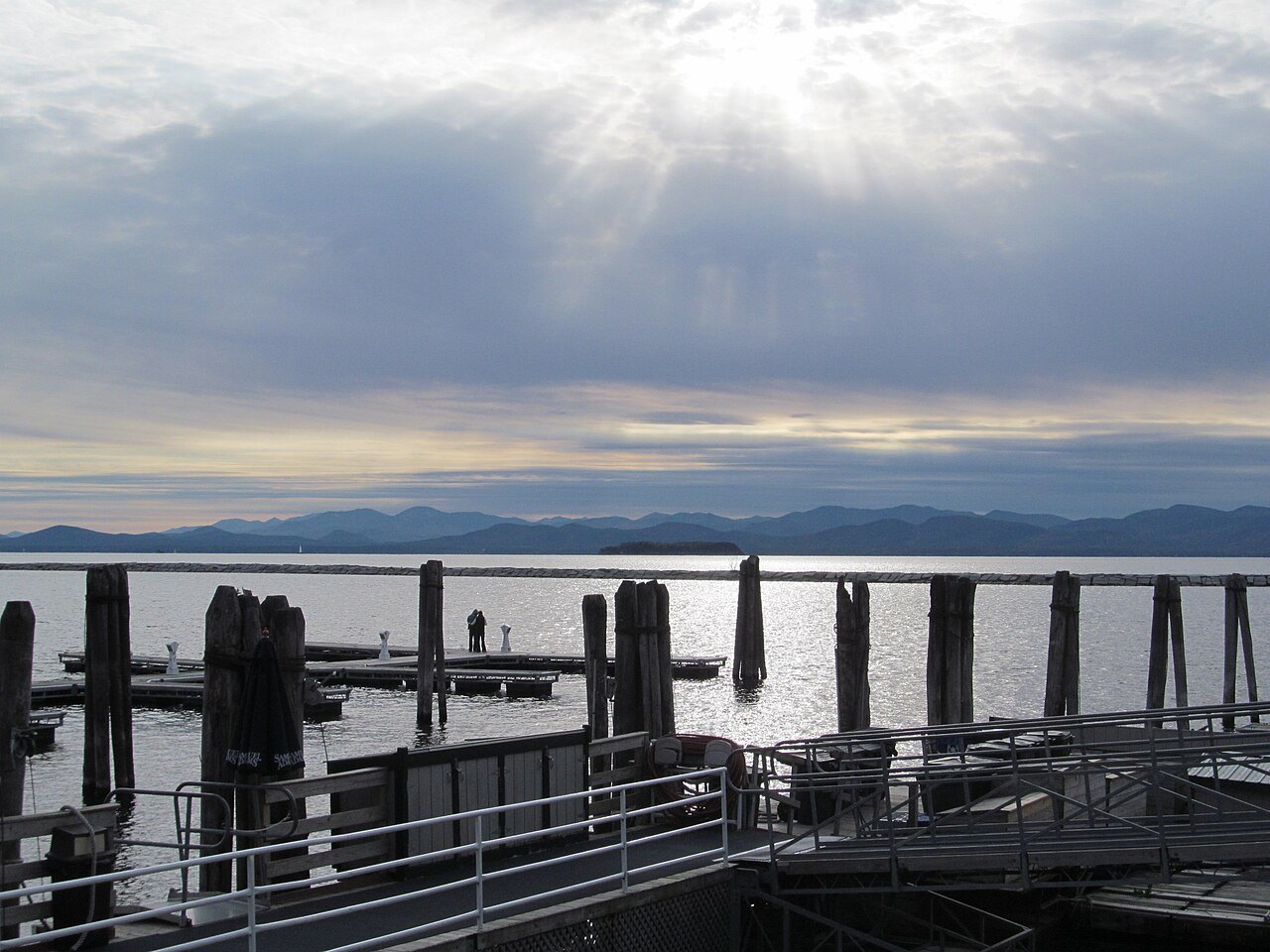
Lake Champlain from the Vermont shore, a lake shared with New York and Québec
Photographs: Doug Kerr, Wikimedia Commons, CC BY-SA 2.0 · Farragutful, Wikimedia Commons, CC BY-SA 4.0 · Doug Kerr, Wikimedia Commons, CC BY-SA 2.0
The Champlain Valley · landmark 2 of 15
Lake Champlain is 107 miles long and lies mostly between Vermont and New York, with its northern end in Québec; this page follows the Vermont side, from Burlington and the islands to the fault-line shores and the ferries.
- The Vermont shoreFrom Burlington's waterfront to Button Bay and North Hero state parks, a coastline that is relatively undeveloped.
- The islandsGrand Isle, North Hero and Isle La Motte, the largest, all in Grand Isle County.
- The Chazy ReefAn Ordovician fossil reef at Isle La Motte, among the oldest reefs on earth.
- The ferriesThree car-ferry routes cross to New York, one from Charlotte, one from Burlington and one from Grand Isle.
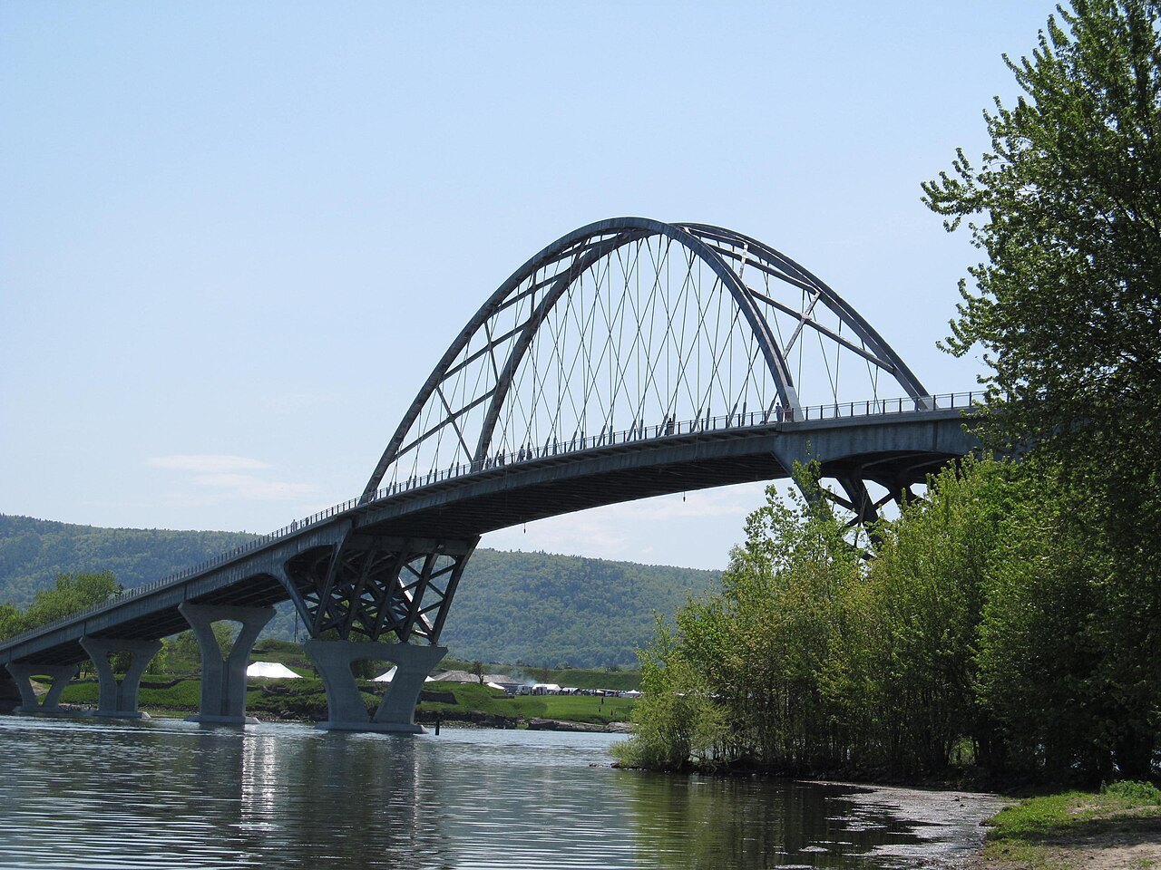
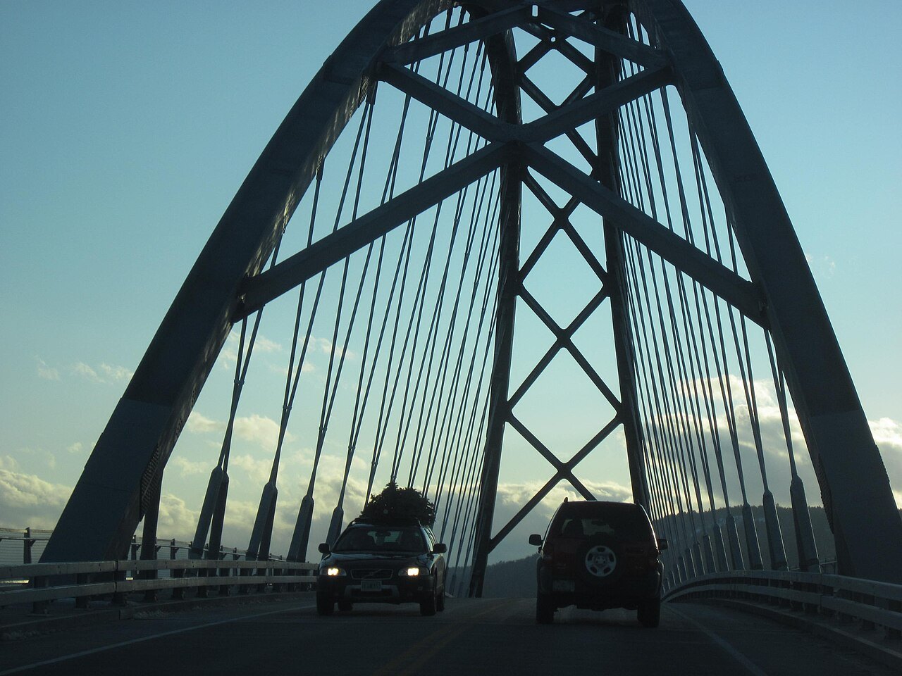
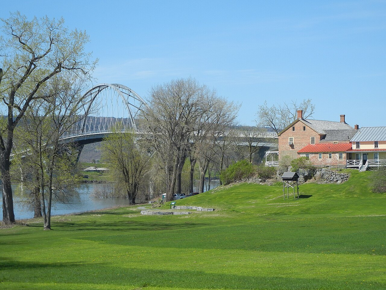
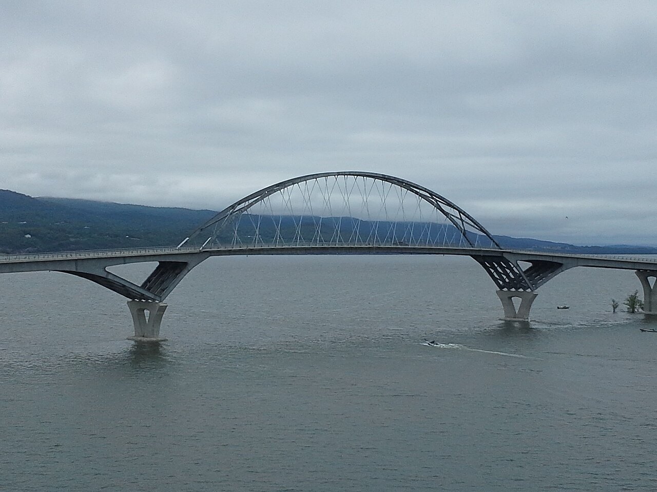
- The Lake Champlain BridgeOpened in November 2011 between Chimney Point, Vermont, and Crown Point, New York.
Why it matters
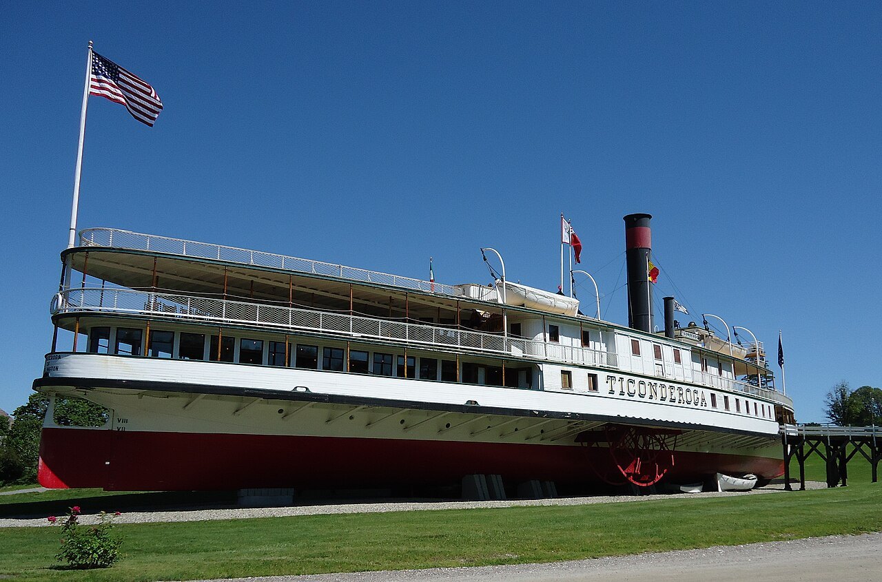
Lake Champlain is a large natural freshwater lake, 107 miles long, with a surface area of more than 500 square miles. It lies mostly between the states of New York and Vermont, but extends north into the Canadian province of Québec. Burlington, Vermont, and Plattsburgh, New York, are the largest settlements on the lake, and to the south stands the historic Fort Ticonderoga in New York. Because it connects to the St. Lawrence Seaway by the Richelieu River and to the Hudson River by the Champlain Canal, it is sometimes called the Sixth Great Lake.
The nickname very nearly became official: on March 6, 1998, a bill led by Vermont's Senator Patrick Leahy declared Lake Champlain a Great Lake, and the status was rescinded on March 24 after a small uproar.
The lake belongs to two states, so this guide takes the Vermont side. The lake drains nearly half of Vermont, and about 250,000 people take their drinking water from it.
The lake in numbers
The lake covers about 514 square miles, which makes it the thirteenth-largest in the United States by area. It sits at 95 to 100 feet above sea level, has a shoreline of 587 miles, averages 14 miles wide, has an average depth of 64 feet and a maximum depth of 400 feet. It lies in the Champlain Valley between the Green Mountains of Vermont and the Adirondacks of New York and drains north through the Richelieu River into the St. Lawrence.
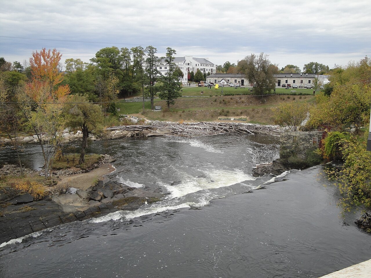
In Vermont it is fed by the LaPlatte, Lamoille, Missisquoi, Poultney and Winooski rivers, and by Lewis Creek, Little Otter Creek and Otter Creek. Parts of the lake freeze every winter, and in some winters the whole surface freezes, which is called closing. In July and August the water averages 70 degrees Fahrenheit.
The islands and the shore
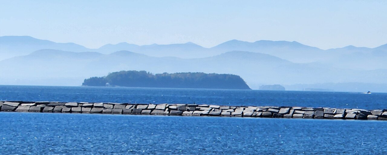
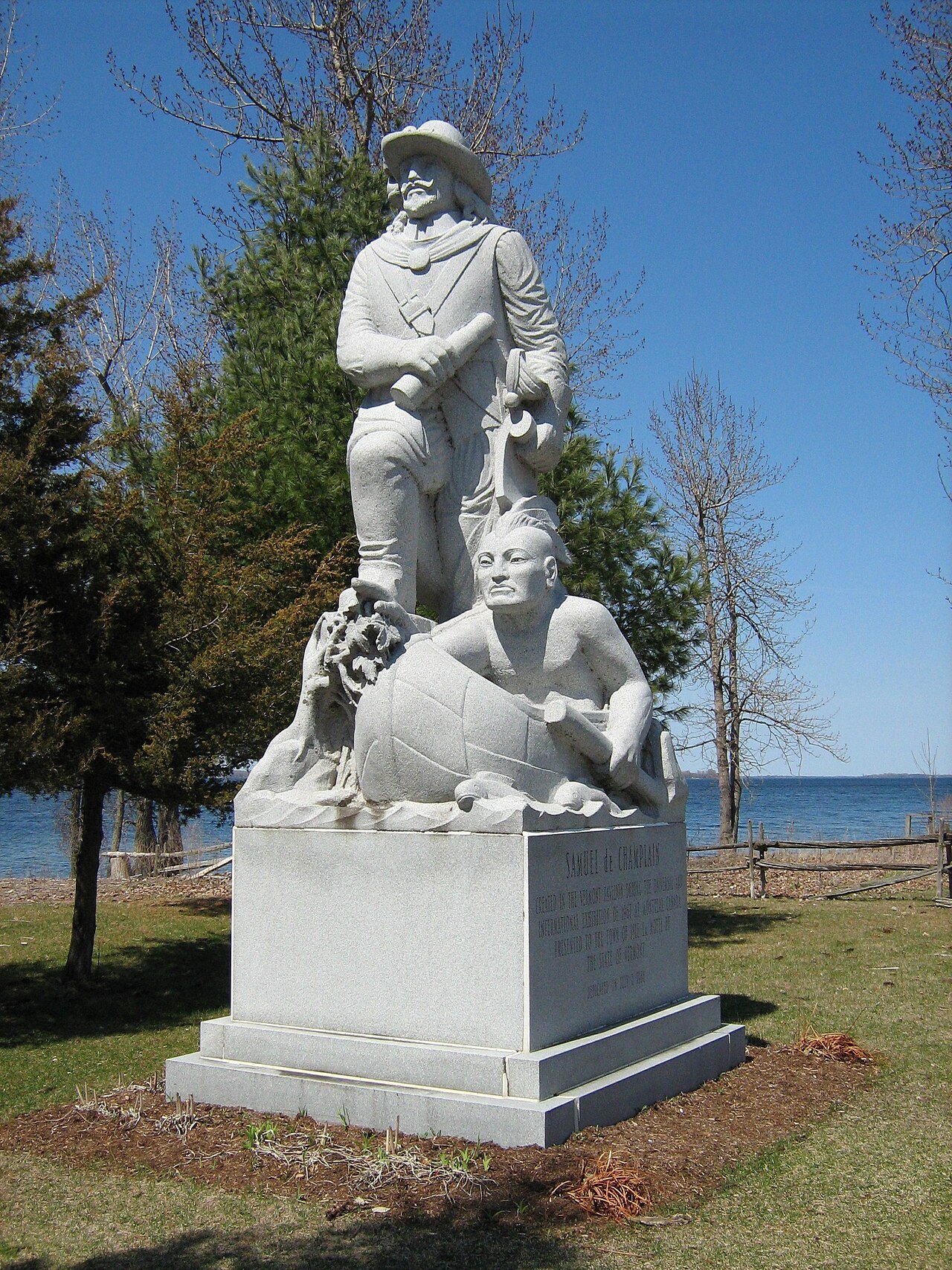
The coastline is relatively undeveloped and holds several state parks, including North Hero and Button Bay on the Vermont side. There are numerous islands, and the largest, Grand Isle, Isle La Motte and North Hero, are all part of Grand Isle County, Vermont. The lake is part of local culture in many ways, especially through Champ, a lake monster said to live in it, which the explorer Samuel de Champlain may have been the first to describe in 1609. A Vermont Historical Society publication suggests that the accounts may come from floating logs, large sturgeon diving in a row, or flocks of blackbirds flying close to the water.
At Isle La Motte the Chazy Reef is an extensive Ordovician carbonate rock formation. The oldest reefs lie around the Head at the south end of the island, slightly younger reefs at the Fisk Quarry and the youngest, the famous coral reefs, in fields to the north.
A border between peoples
The lake has long been a border between indigenous nations. It lies on the frontier between Abenaki and Mohawk territory. The Abenaki name is Pitawbagok, meaning middle lake or lake in between, and the Mohawk name means a bulged lake or door of the country. The lake was named for Samuel de Champlain, who reached it in 1609. The ports of Burlington, Port Henry and Plattsburgh were of substantial commercial and military importance in the eighteenth and nineteenth centuries and are now used mainly by small craft, ferries and cruise vessels.
War on the water
In colonial and Revolutionary times the lake was a highway between the St. Lawrence and Hudson valleys, easier to travel by boat and sledge than by muddy roads. In May 1775, three weeks after Lexington and Concord, Ethan Allen and 200 Green Mountain Boys, sharing command with Benedict Arnold, took Fort Ticonderoga, Crown Point and Skenesborough, which gave the Americans heavy artillery and a water route to Canada.
In October 1776 Arnold's fleet fought the British off Valcour Island, escaped under cover of night, and was caught near Split Rock Mountain. Arnold ran his five remaining vessels aground in Ferris Bay, at Panton, Vermont, and the crews escaped on land. In 1777 General Burgoyne came south down the lake with 8,000 troops; his defeat at Saratoga in October convinced France to ally with the Americans. The Battle of Lake Champlain, at Plattsburgh on September 11, 1814, ended the last British invasion of the northern states.
The ferries and the bridge
The Lake Champlain Transportation Company runs three vehicle-ferry routes between Vermont and New York: Charlotte to Essex, Burlington to Port Kent, and Grand Isle to Plattsburgh at Cumberland Head. All crossings use at least two double-ended diesel ferries that carry cars, trucks, bicycles and foot passengers. About a million passengers a year cross the lake by ferry. In summer the company also runs dinner cruises and charters from Burlington, including cruises for the Independence Day fireworks.
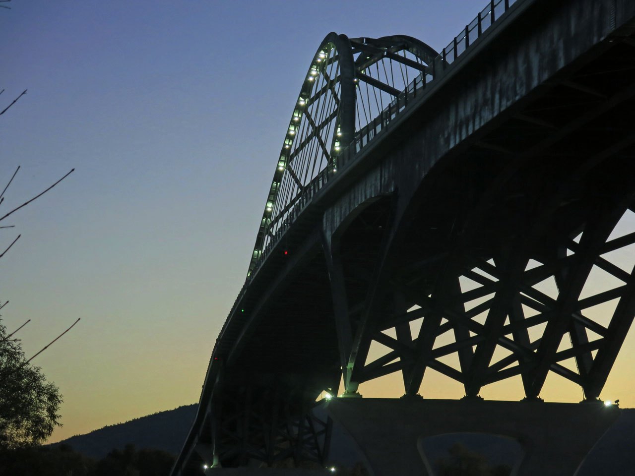
North of Crown Point and south of the Rouses Point–Alburgh–Swanton crossing near the Canadian border, the broad lake has no bridge. At Crown Point the first bridge across the lake, from Chimney Point in Vermont, was dedicated in 1929 and lasted until December 2009. Severe deterioration was found, the bridge was demolished and the Lake Champlain Bridge opened in November 2011.
Planning
Start on the Vermont shore at Burlington, with its waterfront, and add the museum and farm at Shelburne. The lake is also a destination in its own right for boating, swimming and the islands, and the fort at Ticonderoga is across the water in New York.
Ferry schedules change by season, so check the operator before planning around a crossing.