Why does the profile of Mount Mansfield look like a face?
Photographs: Michelle Maria, Wikimedia Commons, CC BY 3.0 · Niranjan Arminius, Wikimedia Commons, CC BY-SA 4.0 · John Mackenzie Burke, Wikimedia Commons, CC BY-SA 4.0
The Journal · Mount Mansfield and Smugglers' Notch
How the long ridge of Mount Mansfield came to look like a human profile, and where to see it best.
A ridge built like a profile
Mount Mansfield is the highest mountain in Vermont, reaching four thousand three hundred ninety-three feet, and the highest peak in the Green Mountains. Its summit lies in the town of Underhill, and the ridgeline continues into Stowe, with the flanks of the mountain reaching into Cambridge as well. Seen from a distance, that ridgeline is not a simple hump. It rises and falls in a long, deliberate line.
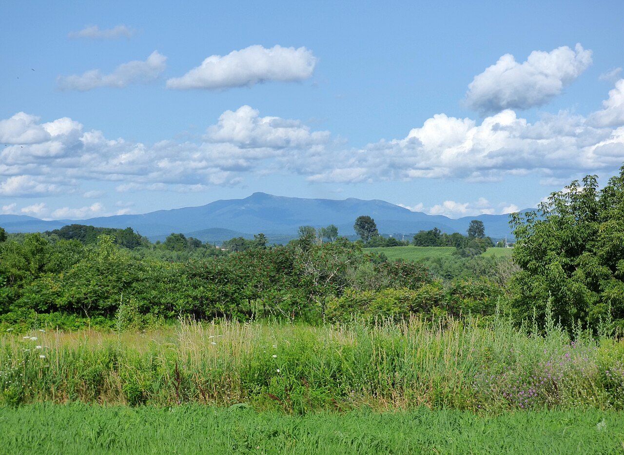
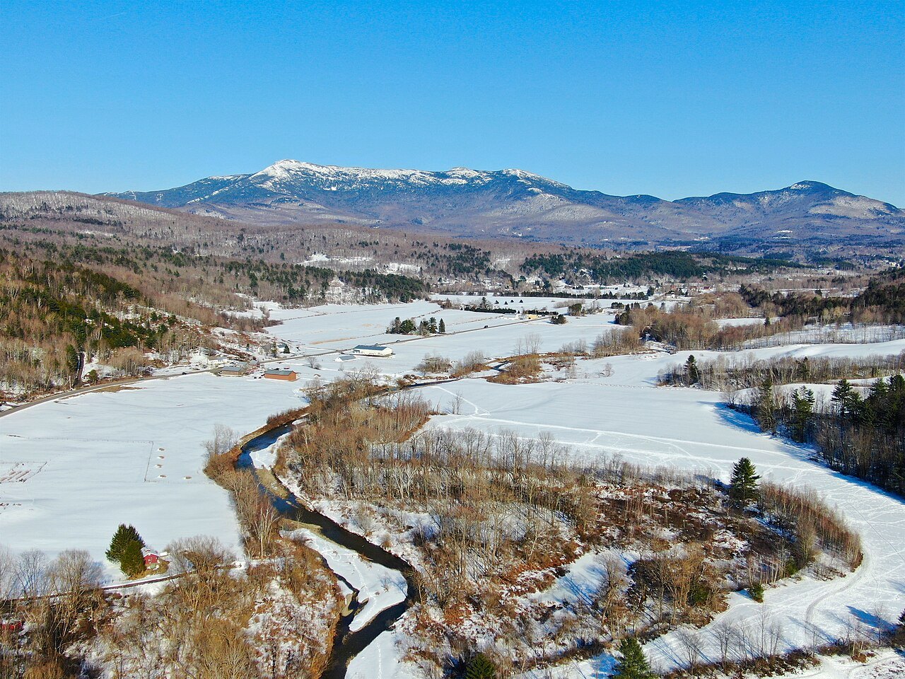
Seen from the east or the west, the mountain reads as the outline of a long human face lying on its back, looking at the sky. A forehead, a nose, lips, a chin and an Adam's apple follow one another along the ridge in a sequence that most viewers pick out without needing to be told where to look. The features read best from the east, which places Stowe, at the mountain's eastern foot, among the best vantage points.
The ridge that forms the head runs roughly north to south. The Adam's apple sits at the north end and the forehead at the south, with the nose, lips and chin arranged between them. Unlike an ordinary face, the chin is the highest point of the whole profile, which is part of why the shape catches the eye: the proportions are not quite what a viewer expects from a reclining head.
From the north, looking south along the range, the same mountain loses its face entirely and appears instead as a plain triangular peak. The profile is a trick of a single, narrow viewing angle rather than a shape built into the rock from every side, which is why guidebooks and road signs point visitors toward particular stretches of road for the best look.
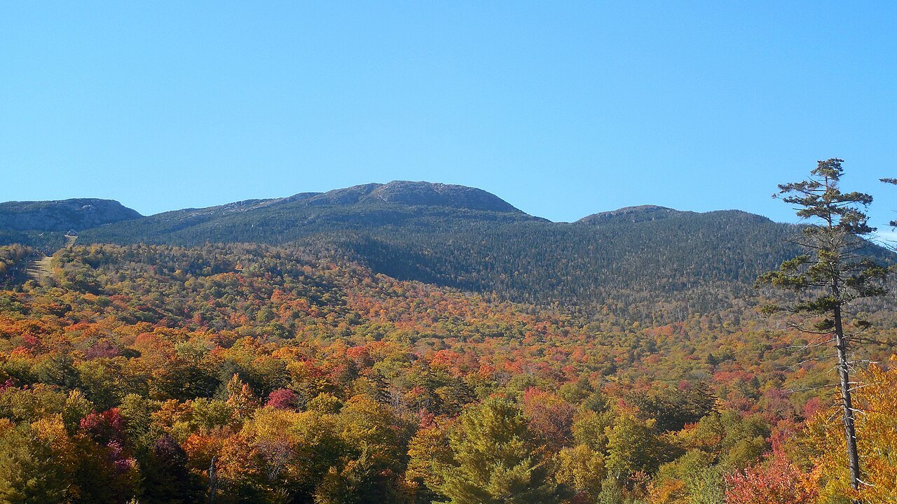
A line drawn through the face
The face is cut by an ordinary town boundary that has nothing to do with geology. The Chin lies in Underhill, and the Nose lies in Stowe, a division that goes back to the collapse of a colonial town once called Mansfield. That town was chartered before anyone involved had seen the ground, and when it was finally surveyed it turned out to be mostly mountainside, too steep and thin-soiled to support the farms its charter assumed.
A few settlers worked the lower land, but the town was dissolved piece by piece. The western part was annexed to Underhill in 1839 and the eastern part to Stowe in 1848, following a vote of the citizens involved. The line drawn between the two towns followed old property and survey boundaries rather than the ridge of the mountain, which is the reason it crosses the face instead of running along its spine.
The result is that a single, continuous profile belongs administratively to two different towns, each with its own name for part of the same ridge. Visitors driving between Stowe and Underhill cross that old boundary without any sign marking a change in the mountain's appearance, since the face itself pays no attention to the line that splits it on the map.
Another name, another animal
Before the middle of the eighteenth century the mountain was known by an Abenaki name, Mozôdebiwajok, which translates to Moosehead Mountain. The Abenaki read the same ridge as the outline of a moose rather than a human face, a reminder that the profile is a matter of perspective and cultural framing as much as topography. Both readings use the same rock; neither is more correct than the other.
The English name came later and from an entirely different source. Benning Wentworth, the colonial governor of New Hampshire, chartered the town of Mansfield, possibly naming it after Lord Mansfield, an English chief justice who in 1752 had joined another official in ruling that the land between the Connecticut River and Lake Champlain belonged to New Hampshire rather than New York. The mountain kept the town's name long after the town itself had ceased to exist.
Above the treeline
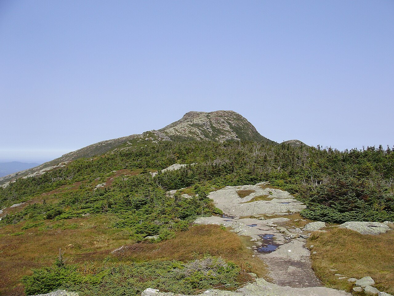
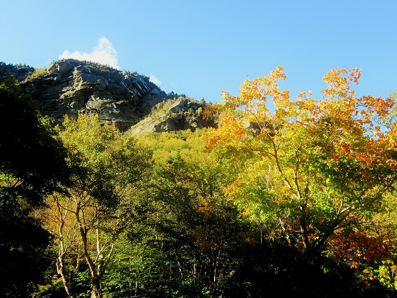
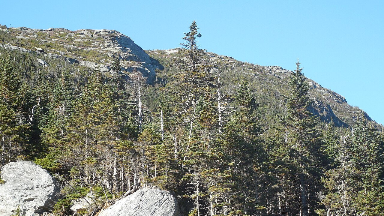
The face is not only a shape to look at from below. Above the treeline, the summit ridge of Mount Mansfield holds about two hundred acres of true alpine tundra, ground that has survived largely unchanged since the Ice Ages. Only two other places in Vermont preserve the same kind of landscape, a few acres each on Camel's Hump and on Mount Abraham to the south, which makes Mansfield's summit the largest remnant of its kind in the state.
In 1980 the National Park Service designated the Mount Mansfield Natural Area a National Natural Landmark. The mountain stands within Mount Mansfield State Forest, and the Long Trail, which runs the length of Vermont, follows the main ridgeline across the Chin and the Nose alike, so a hiker walking the spine of the profile is also walking through protected alpine ground with stony soils and bare rock outcrops underfoot.
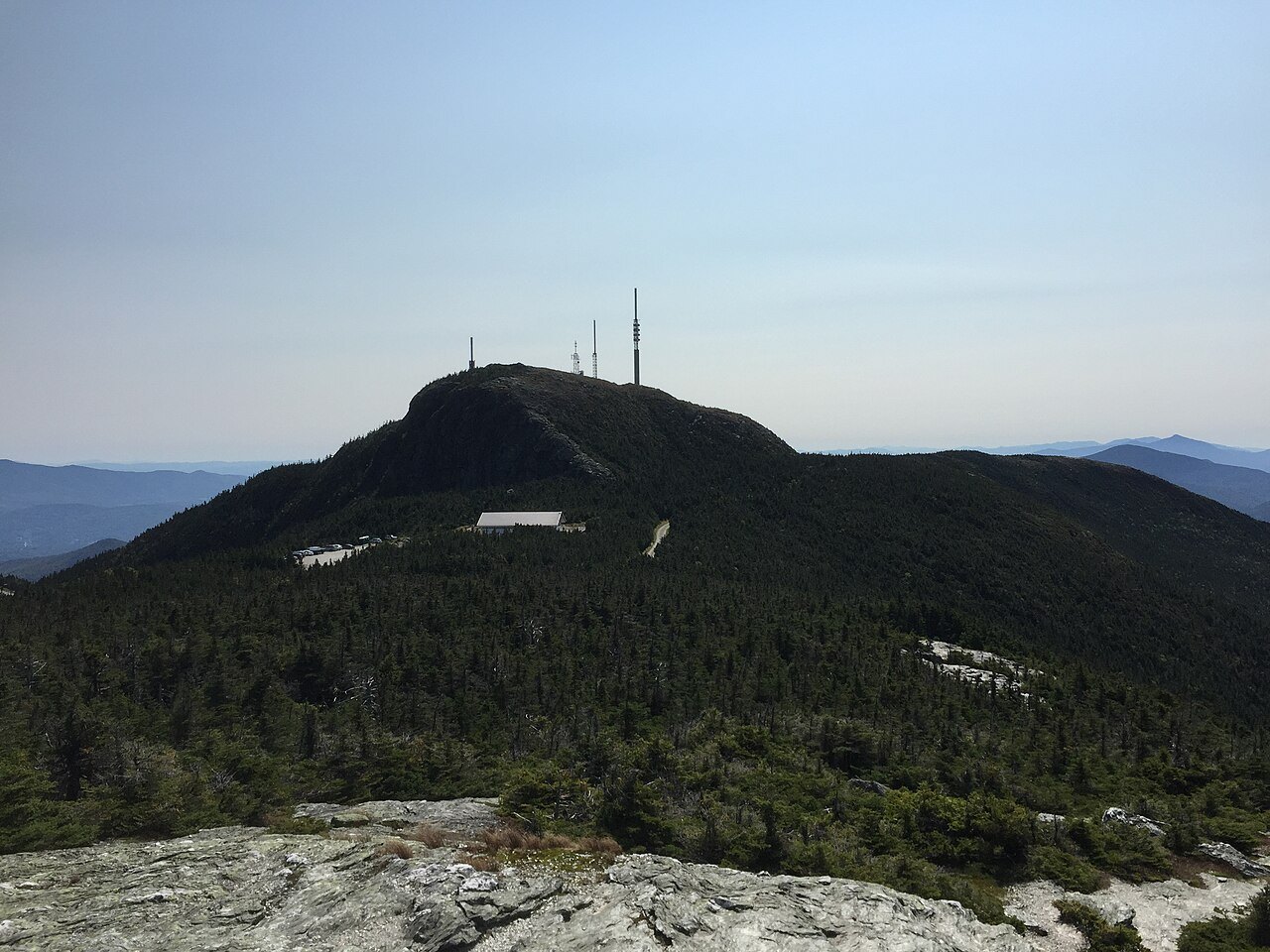
A toll road, about four and a half miles long, steep and mostly unpaved with several hairpin turns, climbs from the Stowe base lodge to the Nose, where regional radio and television transmitter towers stand. From the Nose, walkers can follow the Long Trail along the open ridge to the Chin, covering the same ground that, from a distance, reads as the bridge of the nose and the set of the jaw.
Smugglers' Notch and the Sterling Range
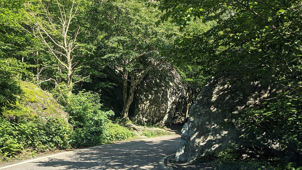
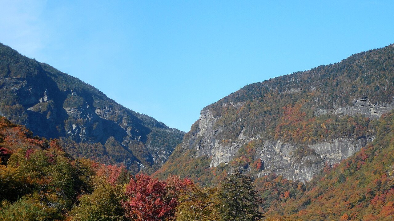
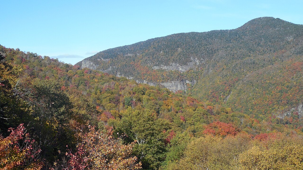
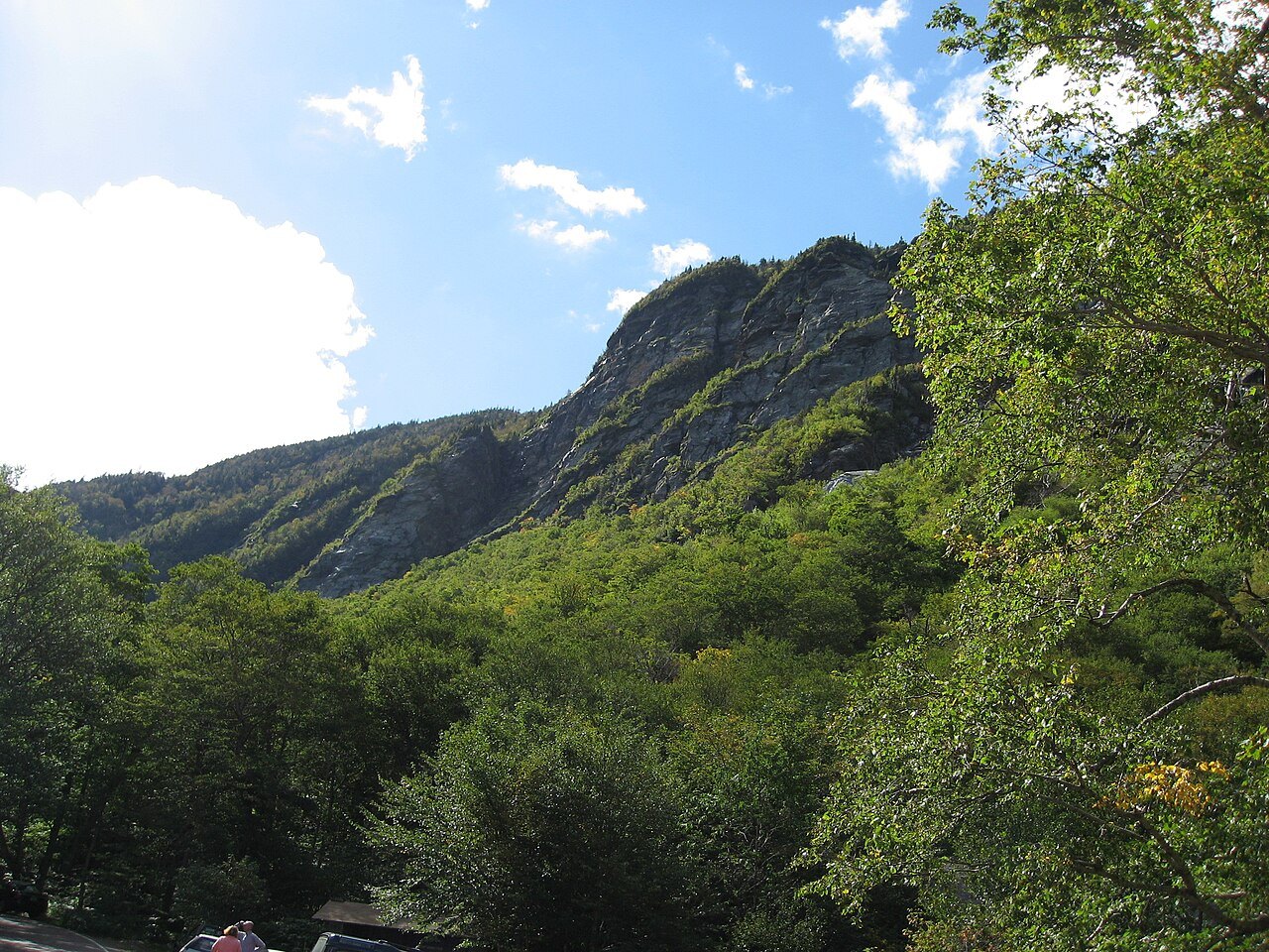
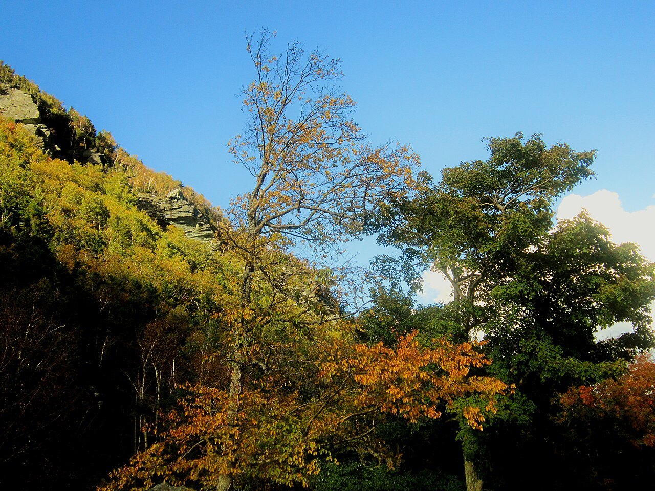
The ridge that forms the face ends where the land drops into Smugglers' Notch, which separates Mount Mansfield from Spruce Peak and the Sterling Range. Vermont Route 108 climbs through the notch between Stowe and Jeffersonville, a road the fact base describes as very steep and winding, closed for the season between the state forest parking lot and Smugglers' Notch Resort during the colder months. Visitors should check the current status with the state or the resort before planning a crossing.
The notch has its own layered history apart from the mountain's face, from Embargo Act smuggling in the early 1800s through its later use by fugitives from slavery and, after automobile improvements in 1922, by Prohibition-era liquor runners. Small parking areas along the road serve climbers and hikers, and the Sterling Pond trail starts near the park and climbs nine hundred feet to a pond that allows fishing and swimming in season.
Seeing the face for yourself
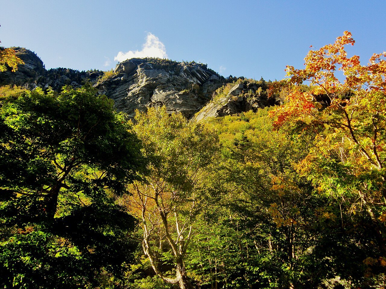
Because the profile reads best from the east, routes through or near Stowe generally give the clearest view, while a northward approach along the range shows only a triangular peak with no face at all. Visitors wanting to compare both impressions might plan a drive that approaches from more than one direction, checking local road conditions with the state or the towns involved before setting out, particularly in winter.
Mount Mansfield sits within a boreal temperate rainforest and receives more than eighty inches of precipitation a year, with snow recorded on the summit in every month. Conditions at the top can differ sharply from conditions at the base, so visitors should dress for the summit rather than the trailhead regardless of the season. The village of Stowe makes a practical base for viewing the face and for exploring the Notch road described on the scenic drives page. Visitors wanting a second summit of alpine tundra, without the facial profile, can pair the trip with Camel's Hump to the south.