Why does the Smugglers' Notch road close in winter?
Photographs: Unknown, Wikimedia Commons, Public domain · Niranjan Arminius, Wikimedia Commons, CC BY-SA 4.0 · Michelle Maria, Wikimedia Commons, CC BY 3.0
The Journal · Mount Mansfield and Smugglers' Notch
The road through Smugglers' Notch cannot be plowed in winter, so the state closes it each year between the parking lot at the state forest and the resort on the far side. Why the notch is so steep, what the road is, how it got its name, and what to do instead.
The short answer
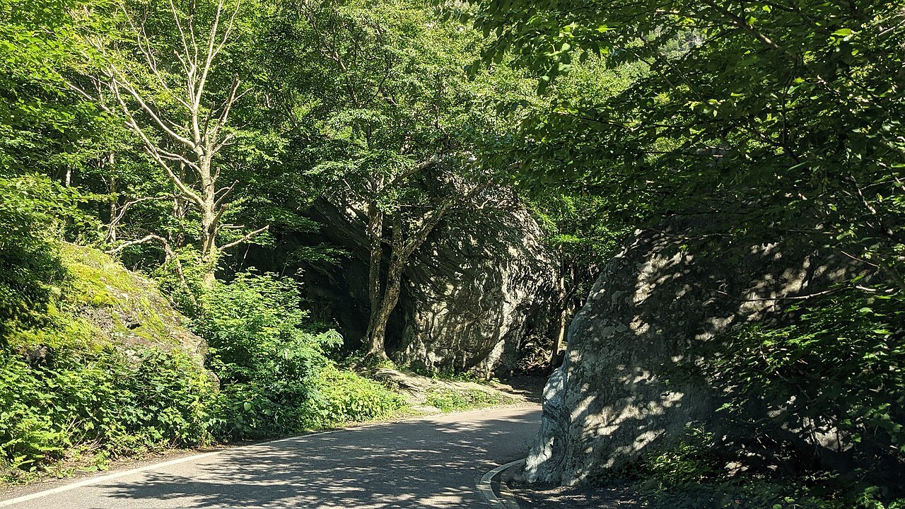
Vermont Route 108 climbs through Smugglers' Notch between Stowe and Jeffersonville, and the stretch through the pass is very steep and winding. That combination makes it impossible to plow in the winter. Each year the state closes the road between the state forest access parking lot and Smugglers' Notch Resort, usually from late October until May, and tractor-trailers are barred from the section at all times.
The closure is not a surprise or an emergency; it is part of how the road works, and it shapes how a visitor plans a drive through the notch. The rest of this article explains what the road is, why the pass is where it is, and what to do if you arrive when the road is shut.
Where the road goes
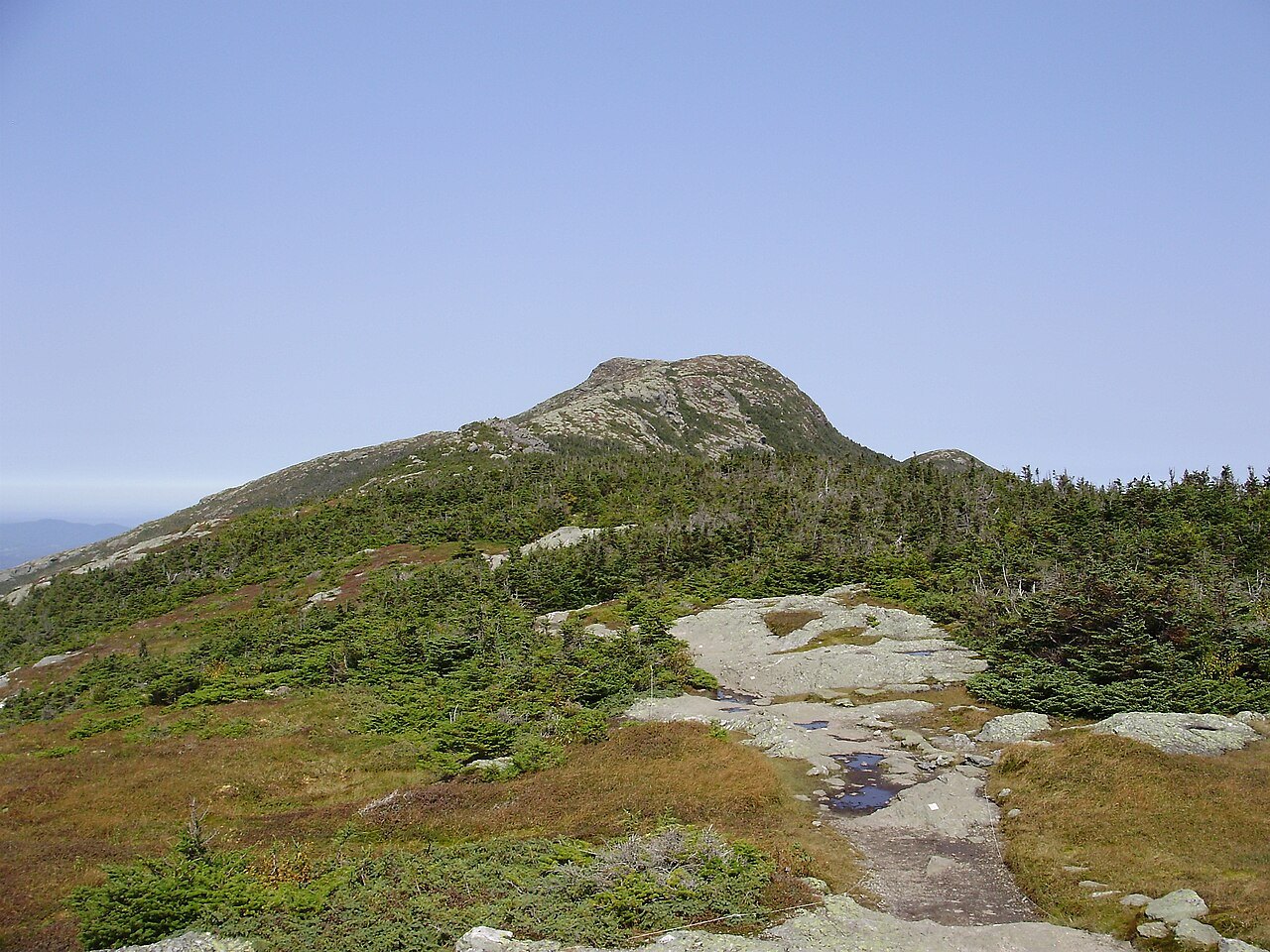
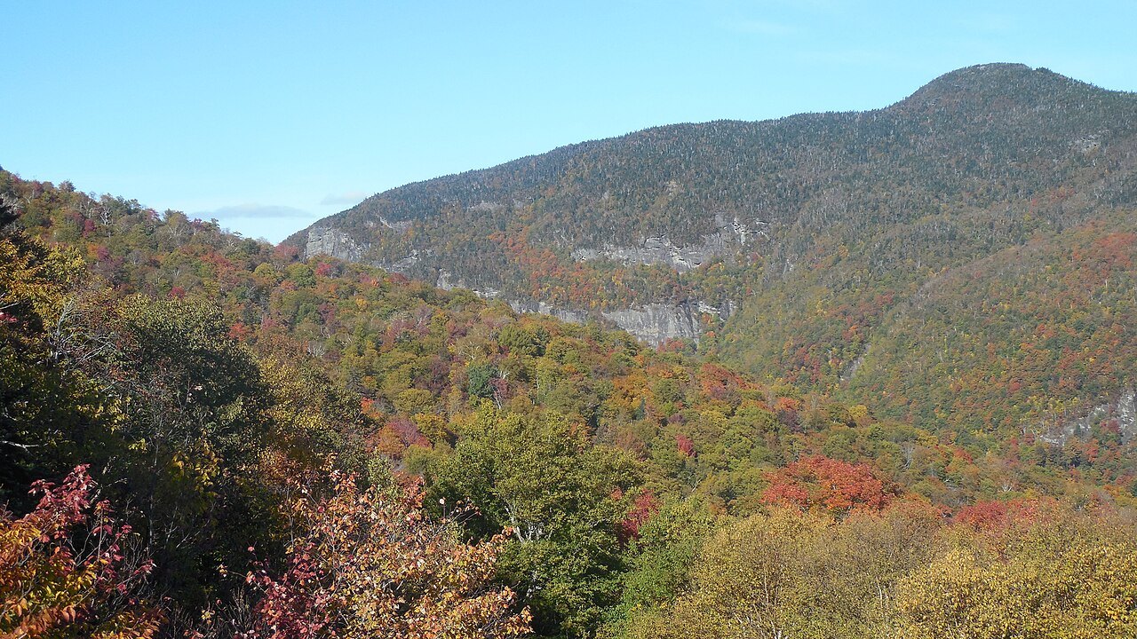
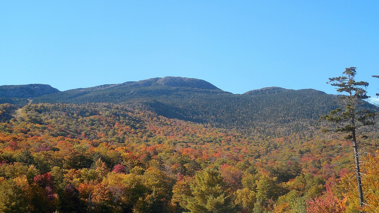
The road is Vermont Route 108, a north–south state highway that begins at Route 100 in Stowe and runs through Smugglers' Notch to Jeffersonville, 17 miles away in the valley of the Lamoille River. North of Jeffersonville it continues on toward the border. Through the pass it cuts through Mount Mansfield State Forest on the flank of Mount Mansfield, the highest mountain in Vermont at 4,393 feet.
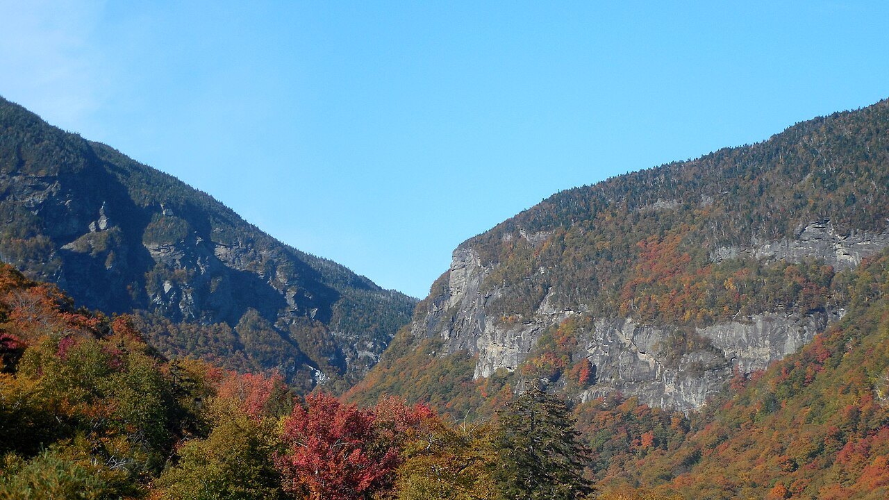
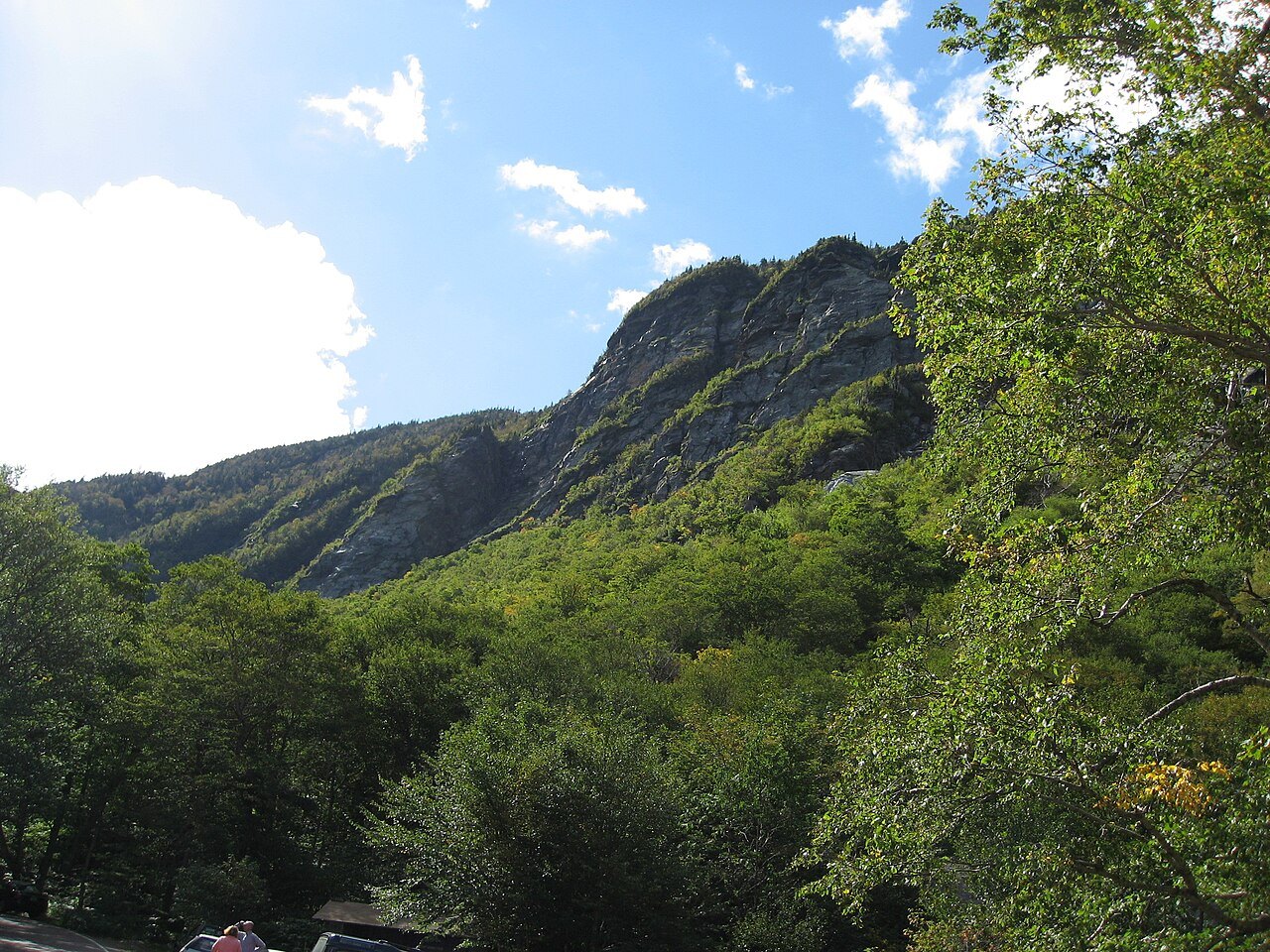
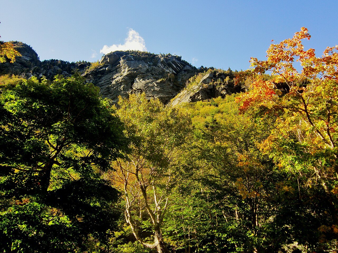
The notch is the pass between Mount Mansfield and the ridge of Spruce Peak, and the state park stands in it at an elevation of 2,119 feet. At the foot of the cliffs on the western side of the road there is a honeycomb network of talus caves, and small parking areas along the road serve hikers and climbers.
Why the pass is so narrow
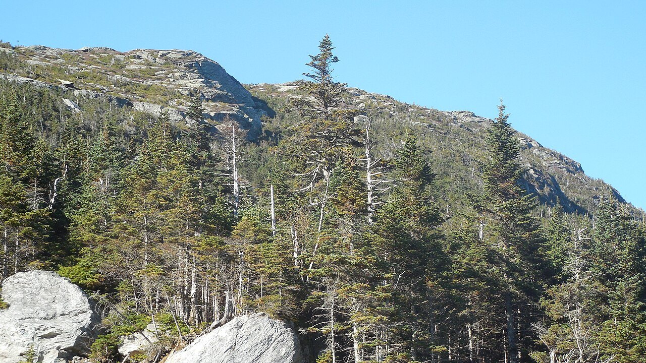
A notch is a gap cut through a mountain range, and this one is cut deep: the pass separates Mount Mansfield from Spruce Peak and the Sterling Range, and the rock around it is the mica-albite-quartz schist common to the range, with stony soils and a good deal of bare outcrop.
The road follows the line the terrain allows, so it has hairpin turns and a steep grade, and the state bars tractor-trailers from the section. The same terrain that makes it dramatic in summer is what makes it impossible to plow in winter.
How it got its name
The name goes back to the Embargo Act of 1807, which Congress passed at the urging of President Thomas Jefferson to keep the United States out of the Napoleonic Wars. The act banned trade with Great Britain and its colonies to the north. The British bypassed the embargo by importing goods into the colonies, and Vermonters carried the goods and herded livestock south through the notch, using the caves as hiding places; most of that trade slowed with the War of 1812.
The notch had two later uses. Fugitives from slavery used it as an escape route, and after the route was improved for automobiles in 1922 it carried liquor from the north during Prohibition.
The state park and the resort
Smugglers' Notch State Park stands in the pass on Route 108. It was built in 1936 by the Civilian Conservation Corps and relocated in 2003 to make room for a larger campground, and the original structures moved with it. The park offers year-round recreation, but access in the winter months is limited to snowmobiles and skiers, and it has fourteen lean-to shelters and twenty campsites just off the road.
On the far side of the notch is Smugglers' Notch Resort, which offers skiing of its own, and the Sterling Pond trail begins at the state park campground and rises 900 feet to a pond that allows fishing and swimming.
What the mountain does in winter
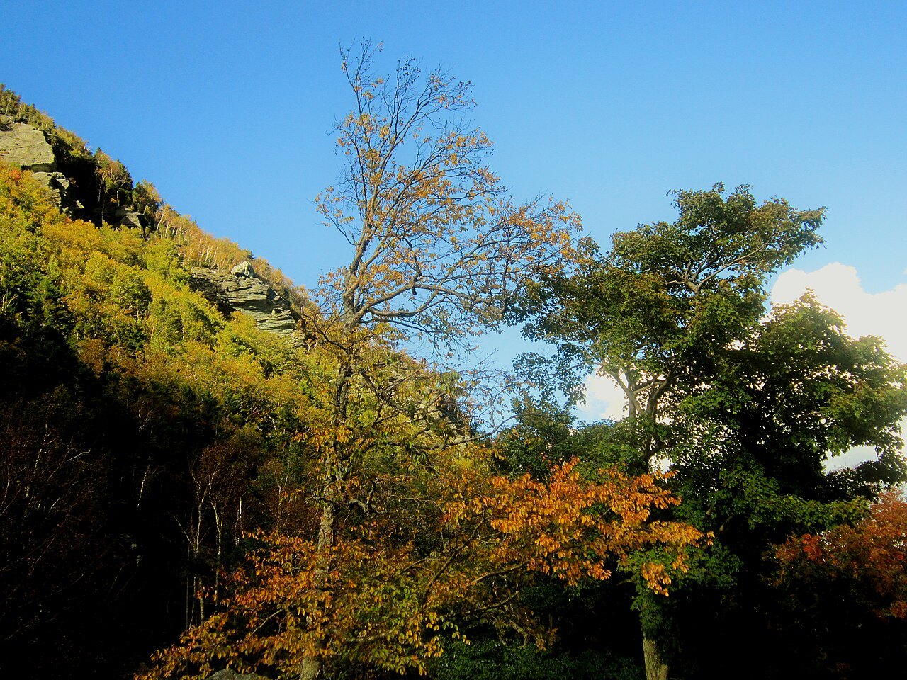
Mount Mansfield stands in a boreal temperate rainforest. Winters on the mountain are long, cold and snowy, lasting from November through April, with snowfall averaging 235 inches a year, and the road's closing dates follow that pattern. The east side of the mountain is the home of Stowe Mountain Resort, one of the oldest ski areas in the United States, where the Civilian Conservation Corps cut the first trails in 1933 and the Mount Mansfield Ski Patrol, founded in 1934, became the basis of the National Ski Patrol.
For a visitor, the notch road and the ski area are two sides of the same mountain: the road is a summer and fall drive, the mountain a winter destination, and the village of Stowe sits between them. Dress for the summit, not for the base, and treat any mountain road as slower than the map says.
What to do when the road is shut
The practical rule is to check the state's road information before relying on the notch, particularly in the weeks on either side of the closing and opening. If the road is shut, the two ends are still reachable from their own sides: Stowe from Route 100, and Jeffersonville from the Lamoille valley, and Stowe's village, its recreation path and its ski area remain the winter attraction.
A visitor who wants to see the notch in winter can ski or snowshoe into it, since access is limited to skiers and snowmobiles; that is a different trip, and one that needs the right clothing, because Mount Mansfield receives more than 80 inches of precipitation a year and snow has been recorded on the summit in every month.
How it fits a trip
In summer and fall, the notch road is one of the best short drives in the state. It combines naturally with Stowe, the toll road to the Nose of Mansfield and the walk along the Long Trail, and the scenic drives page puts it in a loop with Route 100. Allow more time than the mileage suggests, because the road is slow, and pull off to let others pass.
The guide does not sell, book or reserve anything; for conditions and openings, go to the state park and the resort themselves.
A second road climbs the mountain from Stowe: the toll road, about four and a half miles long, a steep and mostly unpaved road with several hairpin turns that climbs from the base lodge to the Nose, which carries the transmitter towers of a number of regional radio and television stations. From there, walkers follow the Long Trail along the ridge to the Chin, the highest point in the state.