How do the Lake Champlain ferries work?
Photographs: Royalbroil, Wikimedia Commons, CC BY-SA 4.0 · Farragutful, Wikimedia Commons, CC BY-SA 4.0 · Doug Kerr, Wikimedia Commons, CC BY-SA 2.0
A practical look at how the Lake Champlain Transportation Company's three vehicle-ferry routes link Vermont and New York.
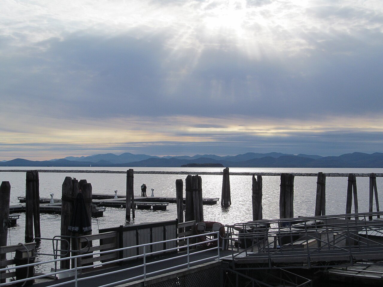
Three Routes Across the Lake
The Lake Champlain Transportation Company operates three vehicle-ferry routes between the Vermont shore and New York: Charlotte to Essex, Burlington to Port Kent, and Grand Isle to Plattsburgh at Cumberland Head. Each crossing covers a different stretch of the lake, so the right route depends on where a visitor is heading on either shore rather than on distance alone.
All three routes rely on double-ended diesel ferries, with at least two vessels assigned to each crossing throughout the season on the lake. Because the ferries load from one end and unload from the other, they do not need to turn around at either landing, which keeps vehicles moving steadily through each crossing.
Together the three routes carry about a million passengers a year, which marks the ferries as a working transportation link as much as a scenic crossing. Vermont and New York highways lead directly to each terminal, so a crossing can be built into an ordinary driving route rather than treated as a side trip; see getting around for how ferries fit into wider Vermont travel.
For visitors without a car, the ferries also welcome foot passengers and cyclists, making a crossing possible as a day trip from either shore. A walk-on passenger can explore Port Kent, Essex or Plattsburgh in New York and return by a later sailing, without needing to bring a vehicle onto the ferry at all.
How a Crossing Works
At each terminal, vehicles queue by lane and board in the order they arrive, following the crew's directions onto the ferry's deck. Foot passengers and cyclists board separately from the vehicle lanes, and bicycles travel in a dedicated area of the deck rather than alongside cars and trucks, a routine repeated at each of the three crossings.
A crossing takes passengers over open water with no stops in between, and conditions on the lake, including wind and waves, can affect how smooth a trip feels even on a short route. Staff on board can answer questions about the loading process and where to stand or park a vehicle for the crossing.
Winter changes the picture considerably: parts of Lake Champlain freeze most years, and in some winters the surface closes entirely. Ice conditions affect which routes can run and when, so visitors planning a cold-weather crossing should confirm current operations directly with the ferry company rather than assume a route is available.
Who and What Can Ride
The ferries are built to carry cars, trucks, bicycles and foot passengers, which makes them useful for a day trip to New York as well as for drivers continuing a longer route through the region. Because vessels are double-ended, loading sequences can vary by size and type of vehicle at each terminal.
Fares, vehicle size limits and any restrictions on trailers or oversized vehicles are set by the Lake Champlain Transportation Company and should be checked with the operator before arriving at a terminal. The same applies to specific questions about pets, luggage or whether a reservation is useful for a particular crossing.
Because the ferries are a commercial service rather than a state-run bridge, schedules and capacity can change with the season and with demand, so a visitor with a fixed plan on the other shore should build some flexibility into travel plans around the crossing itself rather than count on an exact arrival time.
Where the Lake Has No Bridge
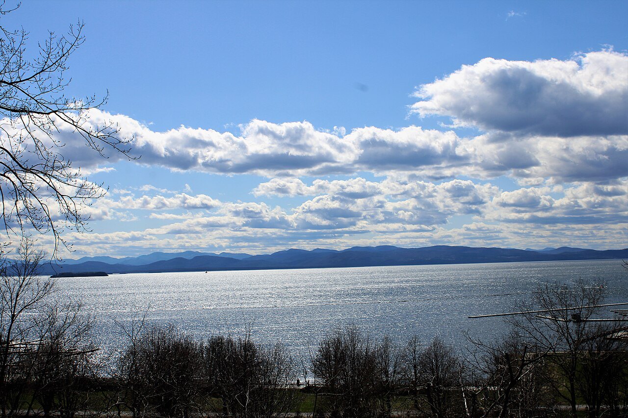
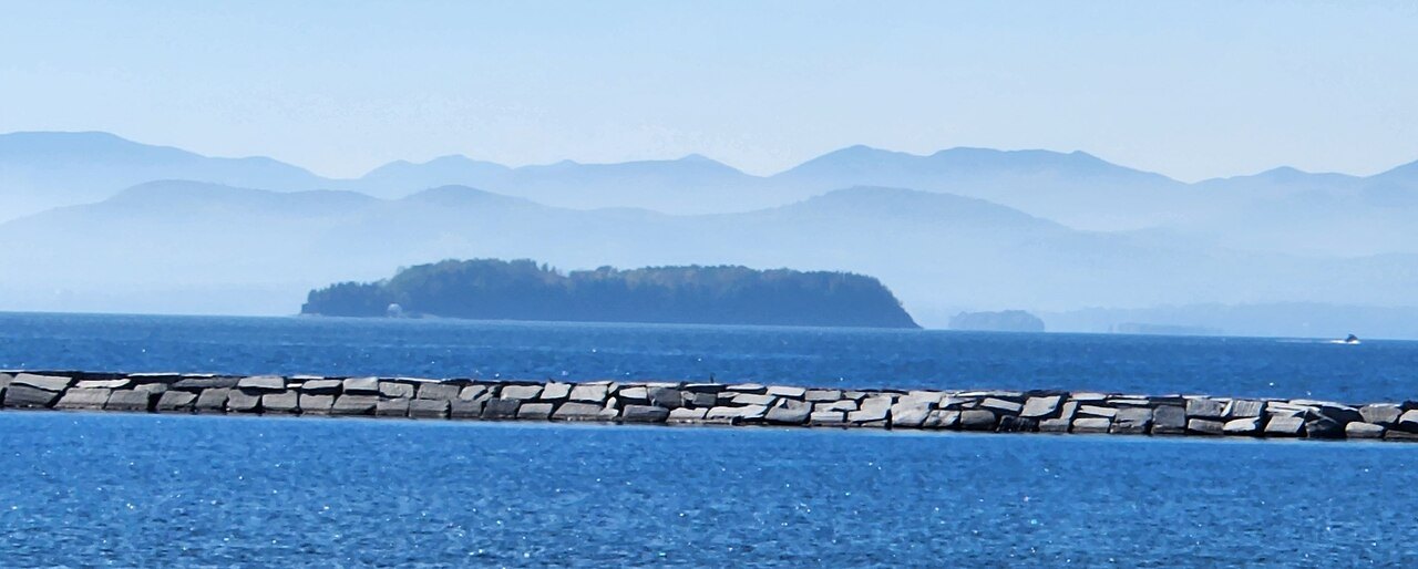
North of Crown Point and south of the Rouses Point-Alburgh-Swanton crossing near the Canadian border, the broad body of Lake Champlain has no bridge at all. Across this long middle stretch of the lake, the ferries are the only way to move a vehicle directly between the Vermont and New York shores.
This gap explains why the three ferry routes sit where they do, spaced along the widest part of the lake rather than clustered near either end. A driver aiming to cross in the middle section should plan around a ferry rather than a bridge, and should confirm which terminal lines up with the intended route on the far shore.
Where the lake narrows near its southern and northern ends, however, bridges do exist, which gives drivers an alternative at those points even when a ferry route is not convenient to a given schedule, though neither end crossing falls within the broad middle section served by the three vehicle ferries.
This absence of a bridge also shapes travel among Vermont's own lake islands, since Grand Isle, Isle La Motte and North Hero sit within Grand Isle County and are reached by road bridges on the Vermont side rather than by ferry. The ferry from Grand Isle to Plattsburgh is instead the link onward to New York from that island chain.
The Crown Point Bridge
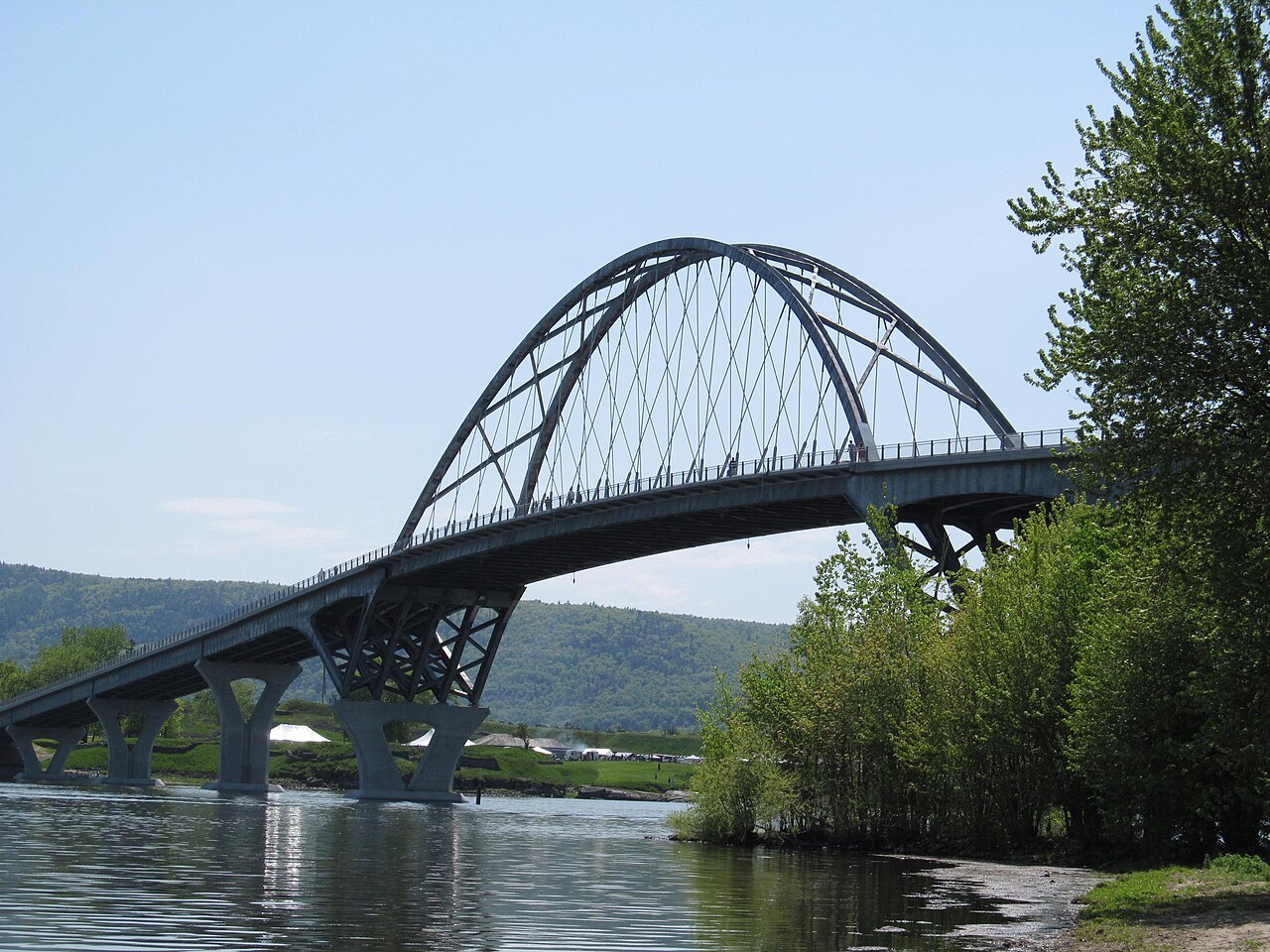
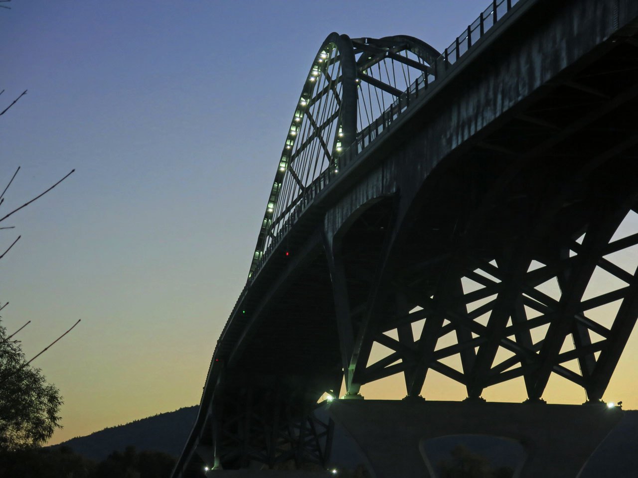
At Crown Point, near the narrow water south of the lake's widest stretch, drivers can also cross at a fixed bridge rather than taking a ferry. A first bridge here, running from Chimney Point in Vermont, was dedicated in 1929 and served traffic between the two states for eight decades.
In December 2009 severe deterioration was found in the old bridge, and it was demolished rather than repaired. During the years before a replacement opened, the stretch had no fixed crossing, which shows how much a single bridge or ferry route can matter to travel plans around the lake.
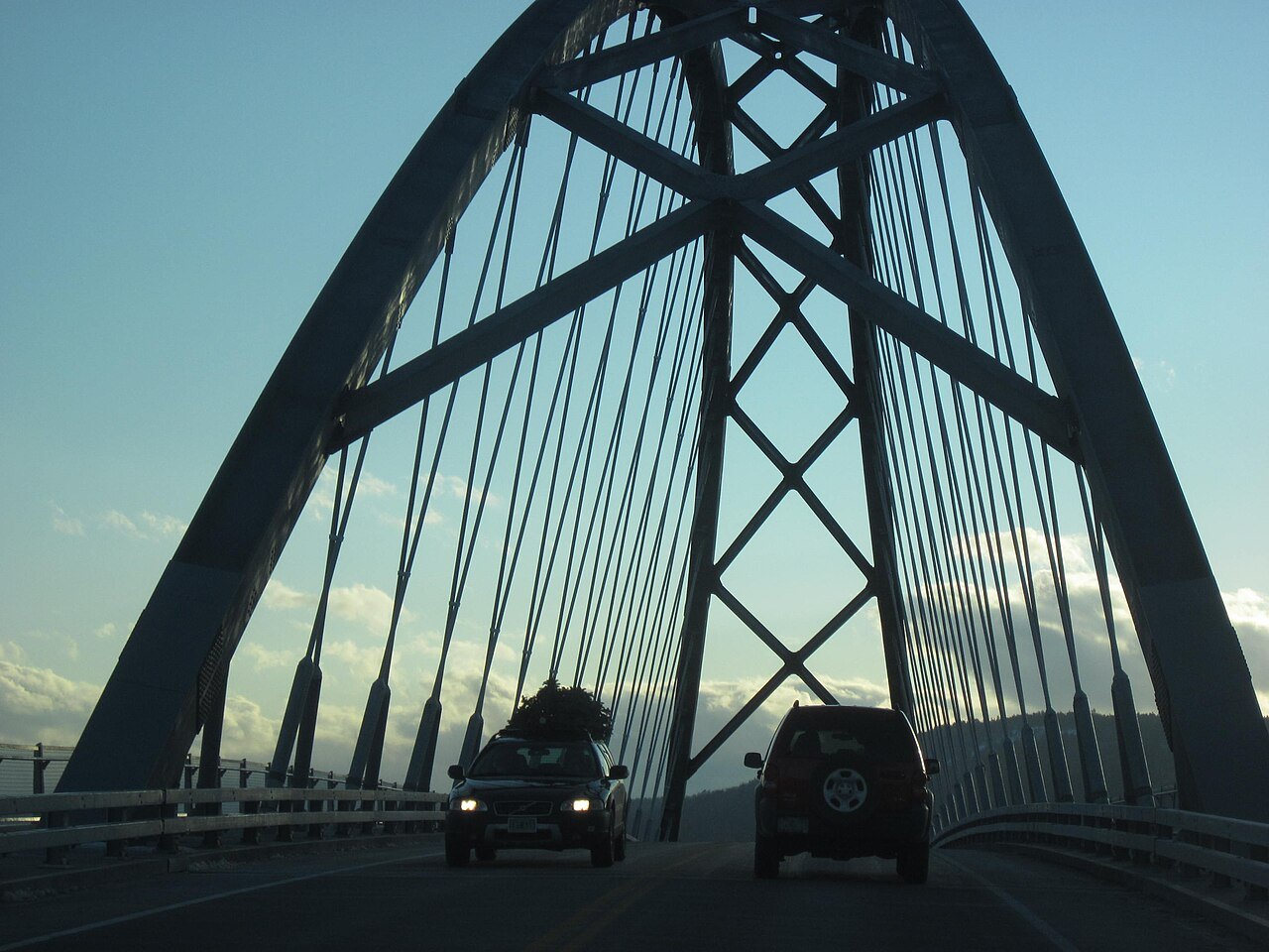
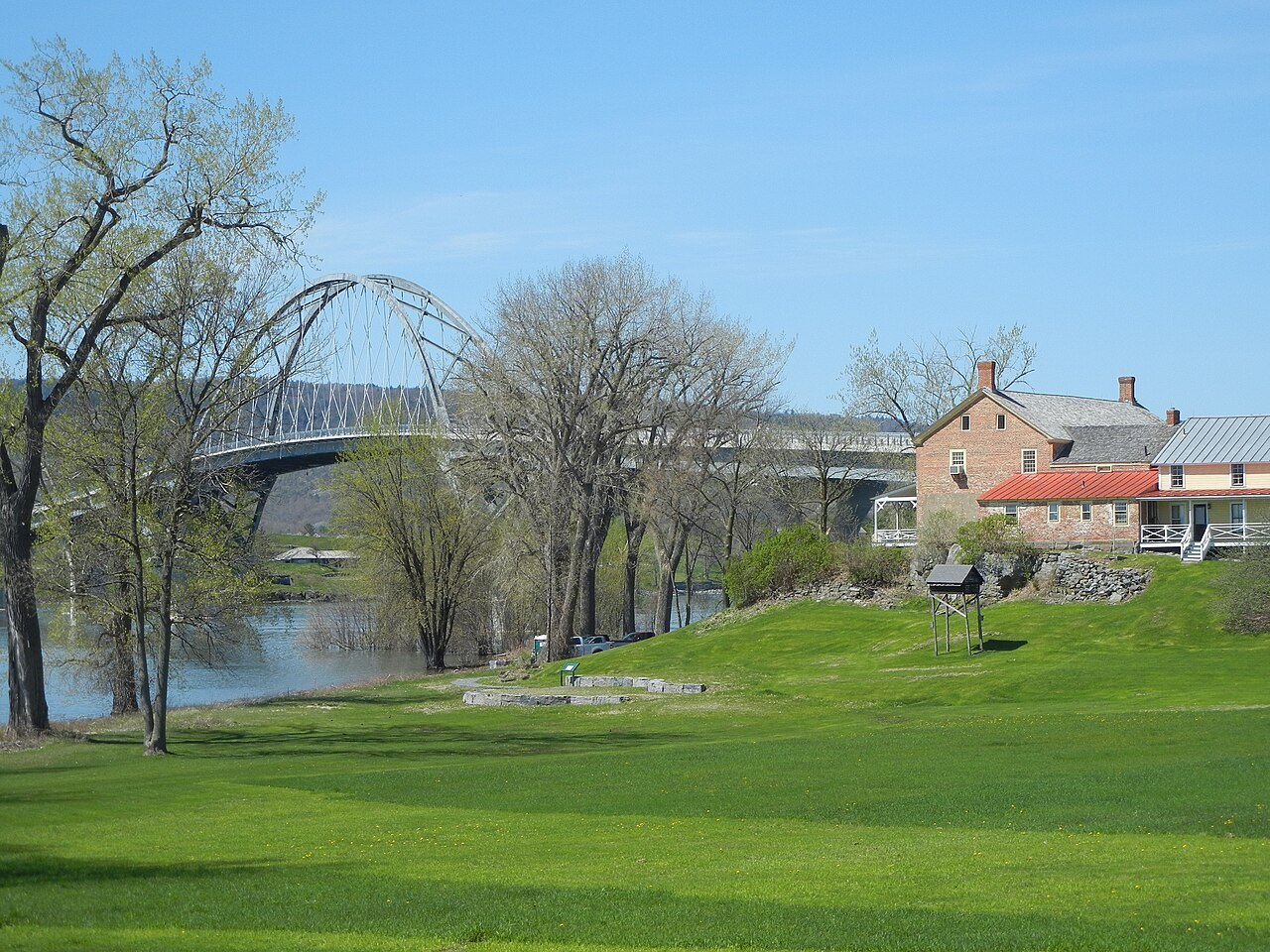
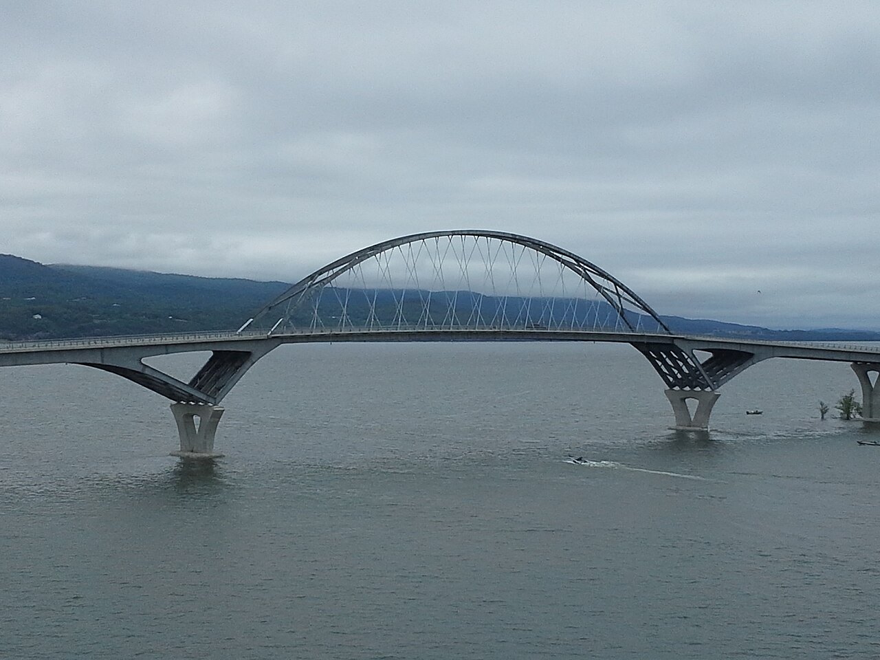
The Lake Champlain Bridge replaced the old span at Crown Point when it opened in November 2011, restoring a second fixed crossing besides the ferries near the southern end of the lake, not far from the historic fort at Ticonderoga on the New York shore, which guarded this stretch of water for centuries.
Cruises, Charters and Planning Ahead
Beyond vehicle crossings, the Lake Champlain Transportation Company offers dinner cruises and charters from Burlington through the summer season, including cruises timed to the Independence Day fireworks over the water. These trips are a way to see the lake itself rather than simply cross it, and their schedule is separate from the vehicle ferries, so visitors should check cruise times directly with the company.
Visitors building a Vermont-side itinerary around the lake often start at the waterfront in Burlington and add the museum and farm at Shelburne, using a ferry crossing as one leg of a loop that also takes in Fort Ticonderoga across the water in New York, returning on the same ferry or a different route along the shore.
Ferry schedules change by season and sometimes by weather, so visitors should confirm current routes, crossing points and any seasonal limits directly with the Lake Champlain Transportation Company before building travel plans around a particular sailing, especially when connecting with another appointment or departure on the far shore of the lake.
Visitors crossing with a vehicle should also check road conditions on the approach roads in Vermont and New York, especially in winter, and can call 911 for emergencies on either side of the lake if a problem arises during travel to or from a terminal, particularly along rural roads near the shore.