What is the Chazy Reef at Isle La Motte?
Photographs: Royalbroil, Wikimedia Commons, CC BY-SA 4.0 · Farragutful, Wikimedia Commons, CC BY-SA 4.0 · Doug Kerr, Wikimedia Commons, CC BY-SA 2.0
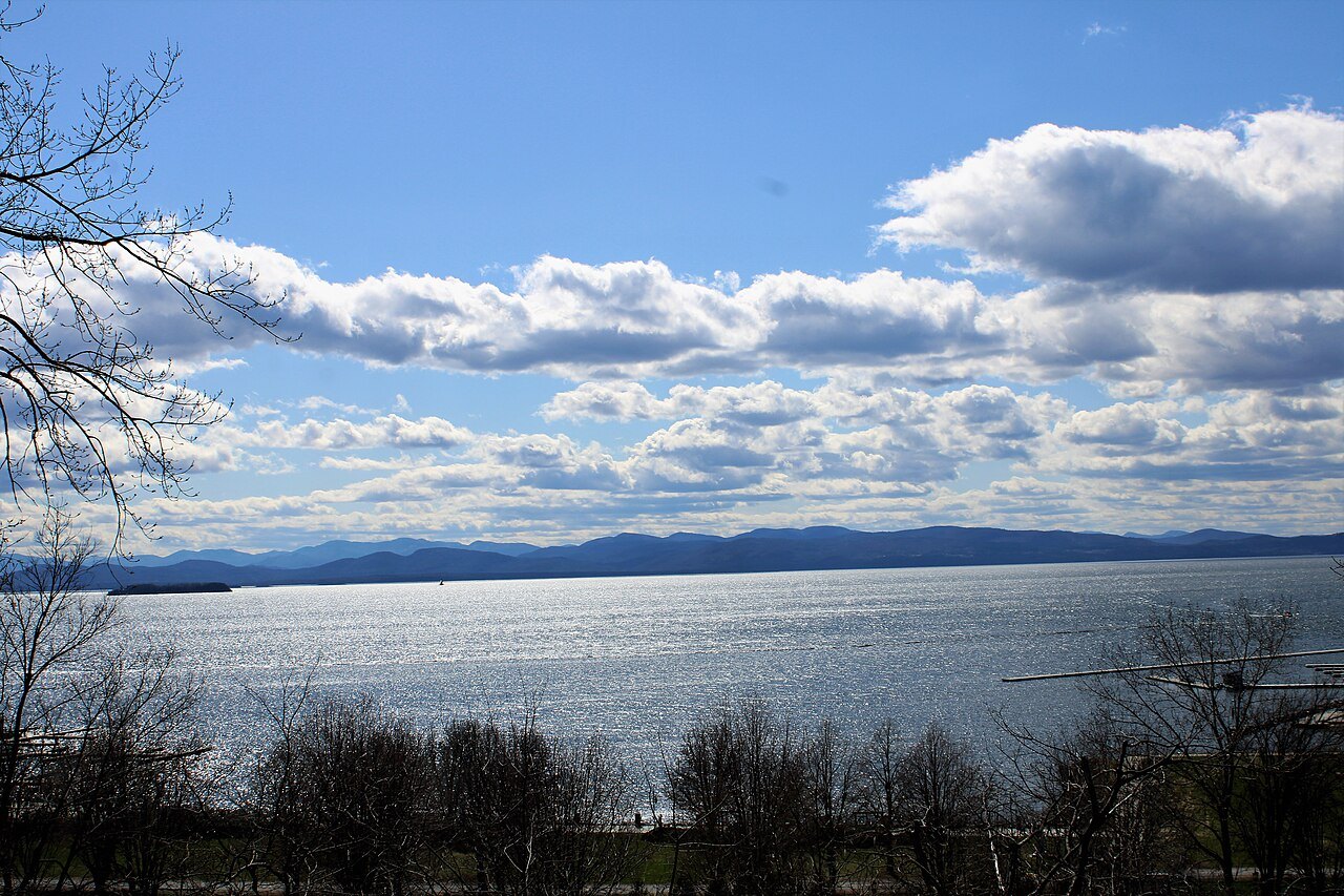
At Isle La Motte, Lake Champlain's oldest shoreline exposes a fossil reef older than the Green Mountains themselves.
A reef older than the mountains
Isle La Motte sits in Grand Isle County, Vermont, grouped with Grand Isle and North Hero among the largest islands in Lake Champlain. Along its shores lies the Chazy Reef, an extensive Ordovician carbonate rock formation, among the oldest exposed reef structures found anywhere in the world.
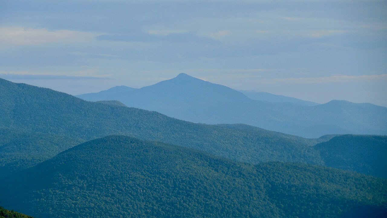
The word Ordovician points to a period of the earth's deep past, long before the Green Mountains of Vermont or the Adirondacks of New York rose to frame the lake. In that era a shallow tropical sea covered the region, and the corals and shelled creatures that lived in it built up layers of reef.
Carbonate rock, formed largely from the compressed remains of marine organisms, makes up much of the island's bedrock today. Walking its shore puts a visitor in contact with fossils that predate the lake itself by hundreds of millions of years; the lake, by contrast, took its present outline only after the last ice age receded.
Lake Champlain today covers about five hundred and fourteen square miles and sits between ninety-five and a hundred feet above sea level, figures that describe a landscape shaped recently compared with the reef beneath Isle La Motte. The contrast between the lake's young geography and the island's ancient rock is much of what draws attention to the site.
Three reefs, three ages
The reef's story divides into three parts, each a different age, found in a different part of the island. The oldest reef material lies around the Head, at the island's south end, the first exposure a visitor moving north across Isle La Motte will encounter.
Moving north, slightly younger reef rock appears at the Fisk Quarry, a site shaped by both nature and later quarrying work. The cuts made into the hillside expose cross sections of the ancient formation that are harder to see where the rock has never been worked by hand.
The youngest material, and the most celebrated, lies in fields toward the island's north end, where the coral reefs that gave the formation its wider reputation are preserved. Taken together, the three sites let a visitor trace the reef's growth across a long stretch of geologic time simply by moving along the island.
Because each site represents a different age of the same reef system, visiting all three in sequence, from the Head to the quarry to the northern fields, gives a fuller sense of how the structure built up over time than any single stop could on its own.
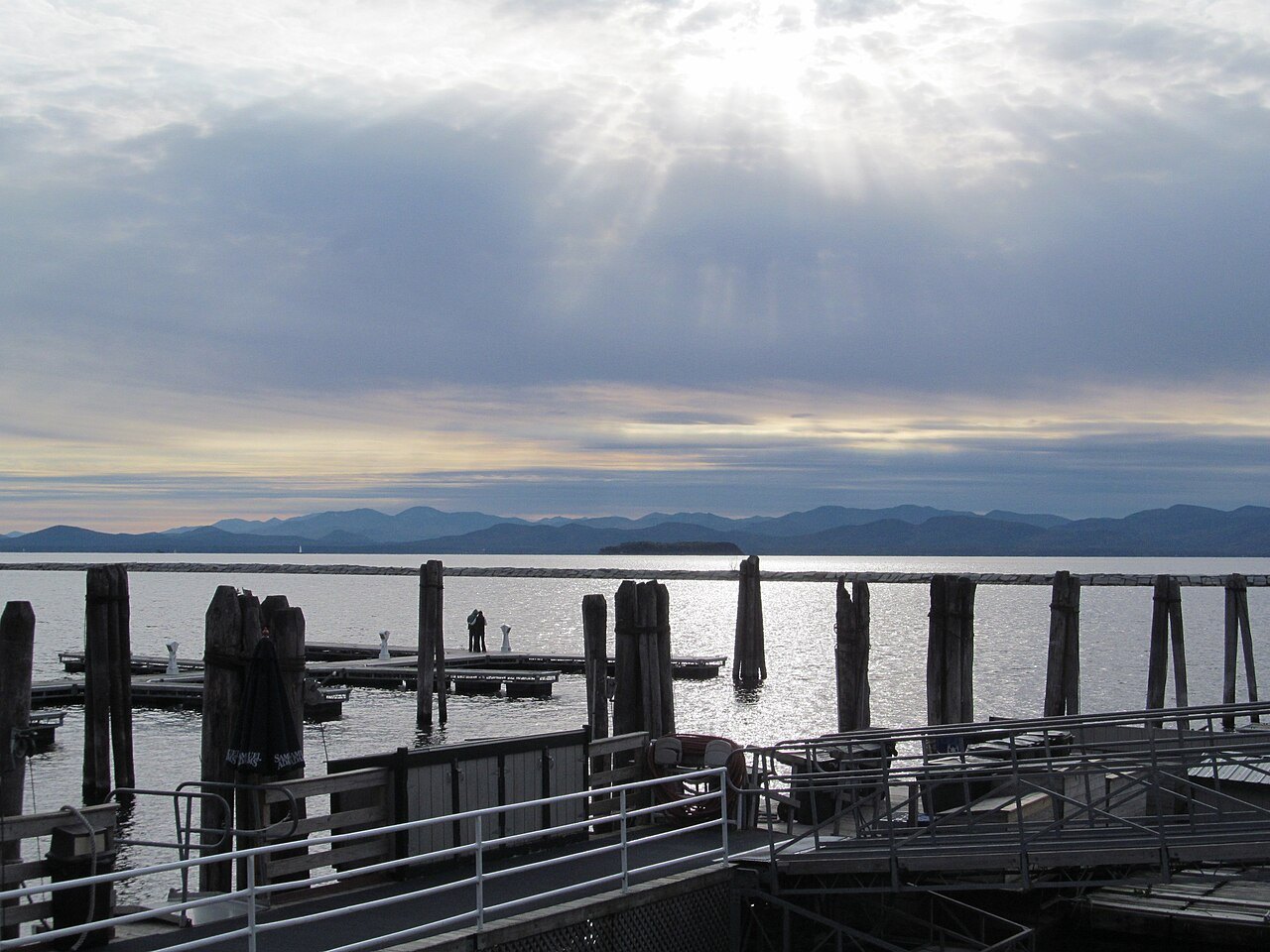
Isle La Motte in the lake's geography
Lake Champlain runs a hundred and seven miles between Vermont, New York and Québec, with a shoreline of more than five hundred miles and dozens of islands scattered through its length. Isle La Motte is one of these, smaller than Grand Isle or North Hero but geologically distinct within the group.
The lake's coastline on the Vermont side remains relatively undeveloped, with several state parks, including North Hero and Button Bay, protecting stretches of shore. Isle La Motte's reef sites belong to this same largely open landscape rather than to any densely built stretch of shoreline.
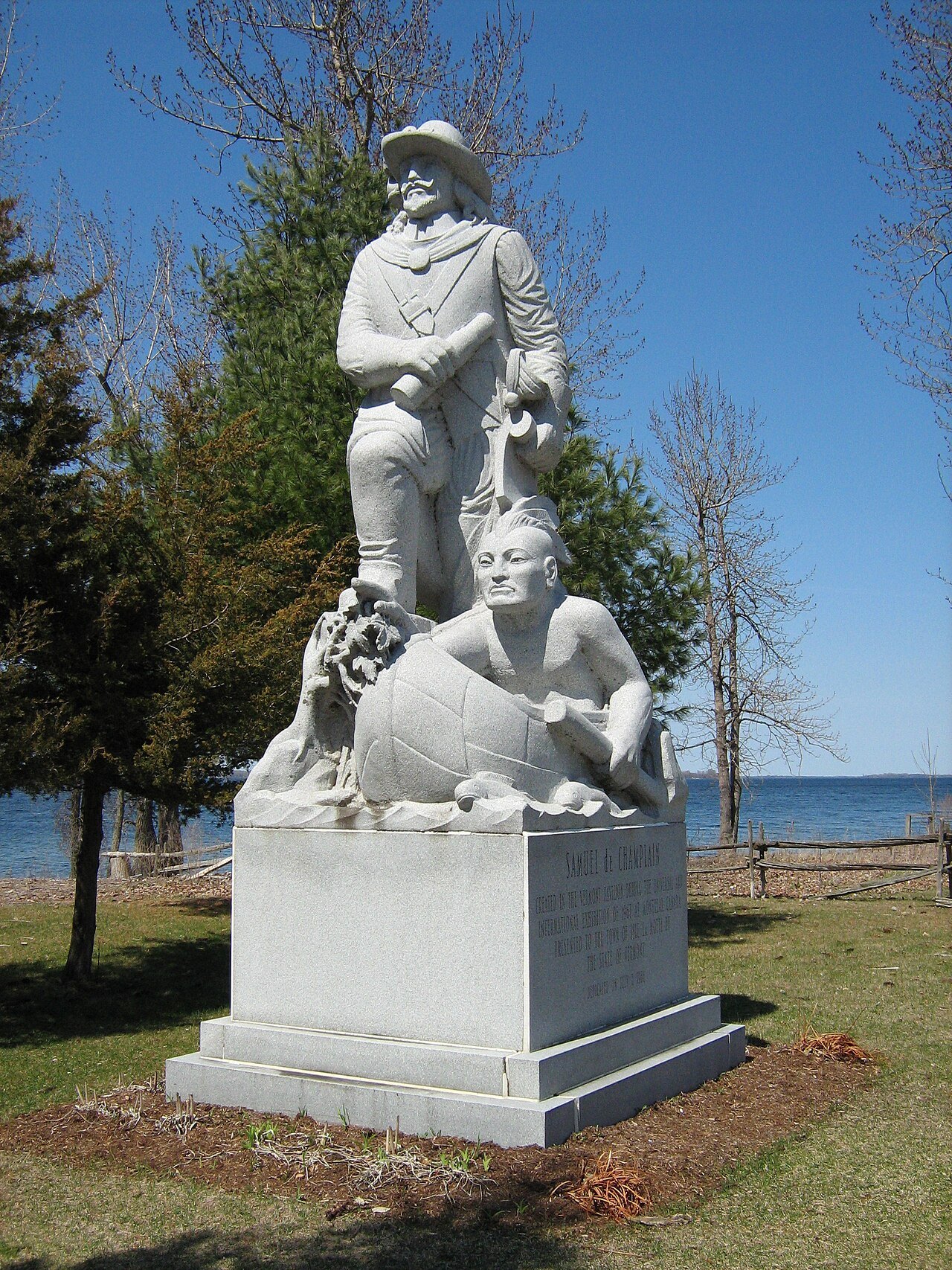
The lake has long carried other stories too, from the Abenaki and Mohawk nations whose territories met along its length, to Champ, the lake monster whose sightings the explorer Samuel de Champlain may have been first to record in 1609. The Chazy Reef adds a far older layer beneath these human and legendary histories.
Vermont rivers including the Lamoille, Missisquoi and Winooski feed the lake elsewhere along its length, and the lake itself drains nearly half of Vermont northward through the Richelieu River. None of that drainage touches the reef directly, but it is part of the same basin the island sits within.
Reaching Isle La Motte
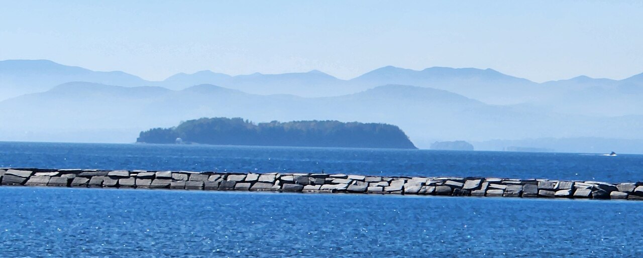
Isle La Motte lies within Grand Isle County, among the islands clustered at the lake's northern end, closer to the Canadian border than to Burlington. A visitor planning a route should check current road conditions with the state or the town before traveling, especially outside summer.
Because this guide's fact base does not specify hours, access points or markers at the Head, the Fisk Quarry or the northern fields, a visitor should confirm current conditions directly with the town of Isle La Motte or with whatever organization manages each site before setting out, rather than assuming free access at any time.
Combining the reef with a wider loop of the islands is straightforward given how close Isle La Motte sits to Grand Isle and North Hero, both part of the same county and reachable by the same local roads that cross the islands from south to north.
A visitor without a car should ask locally about options for reaching the island, since the fact base for this guide does not describe any particular form of public transportation serving Isle La Motte directly.
Planning around the wider lake
A visit to the Chazy Reef fits naturally into a broader exploration of Lake Champlain's Vermont shore. Many visitors begin in Burlington, with its waterfront on the lake, before heading north through Grand Isle County toward the smaller, quieter islands.
The museum and farm at Shelburne, mentioned alongside Burlington as a starting point for lake exploration, can anchor a day trip that also takes in the reef sites further north, given the modest distances involved on Vermont's side of the lake.
Further south, the Lake Champlain Transportation Company's vehicle ferries connect Charlotte to Essex, Burlington to Port Kent, and Grand Isle to Plattsburgh at Cumberland Head, none of which serve Isle La Motte directly but all of which offer other ways to cross between Vermont and New York during the same trip.
Because ferry schedules on Lake Champlain change by season, and because access to the reef sites themselves is not detailed in official materials available here, a visitor should check both the ferry operator and the town of Isle La Motte before building a fixed itinerary around either.
Why the reef matters beyond geology
The Chazy Reef is unusual not only for its age but for how much of it remains visible above water, exposed along the shoreline and in the old quarry rather than buried or eroded away. That visibility is part of what draws visitors and researchers to Isle La Motte specifically among the lake's many islands.
Set against the lake's more recent human history, from the Abenaki and Mohawk presence along its shores to the naval battles fought on its waters during the Revolutionary War and the War of 1812, the reef is a reminder that Lake Champlain's story extends far beyond the few centuries usually told about it.
The lake has even carried the nickname of a Sixth Great Lake, briefly made official by Congress in 1998 before the designation was withdrawn weeks later. Whatever its formal status, the reef on Isle La Motte gives the lake a geological claim to significance that no act of Congress could grant or take away.
For a visitor with time for only one stop among the islands, Isle La Motte offers a rare chance to see, in ordinary fields and quarry walls, rock built by life that existed long before the lake, the mountains around it, or the modern state of Vermont.