What is Vermont Route 100, and can you drive all of it?
Photographs: Famartin, Wikimedia Commons, CC BY-SA 4.0 · Sashimi-b, Wikimedia Commons, CC BY-SA 4.0 · Famartin, Wikimedia Commons, CC BY-SA 4.0
A two-lane highway running 216 miles from the Massachusetts line to Newport, and what to check before driving all of it.
The longest road in the state
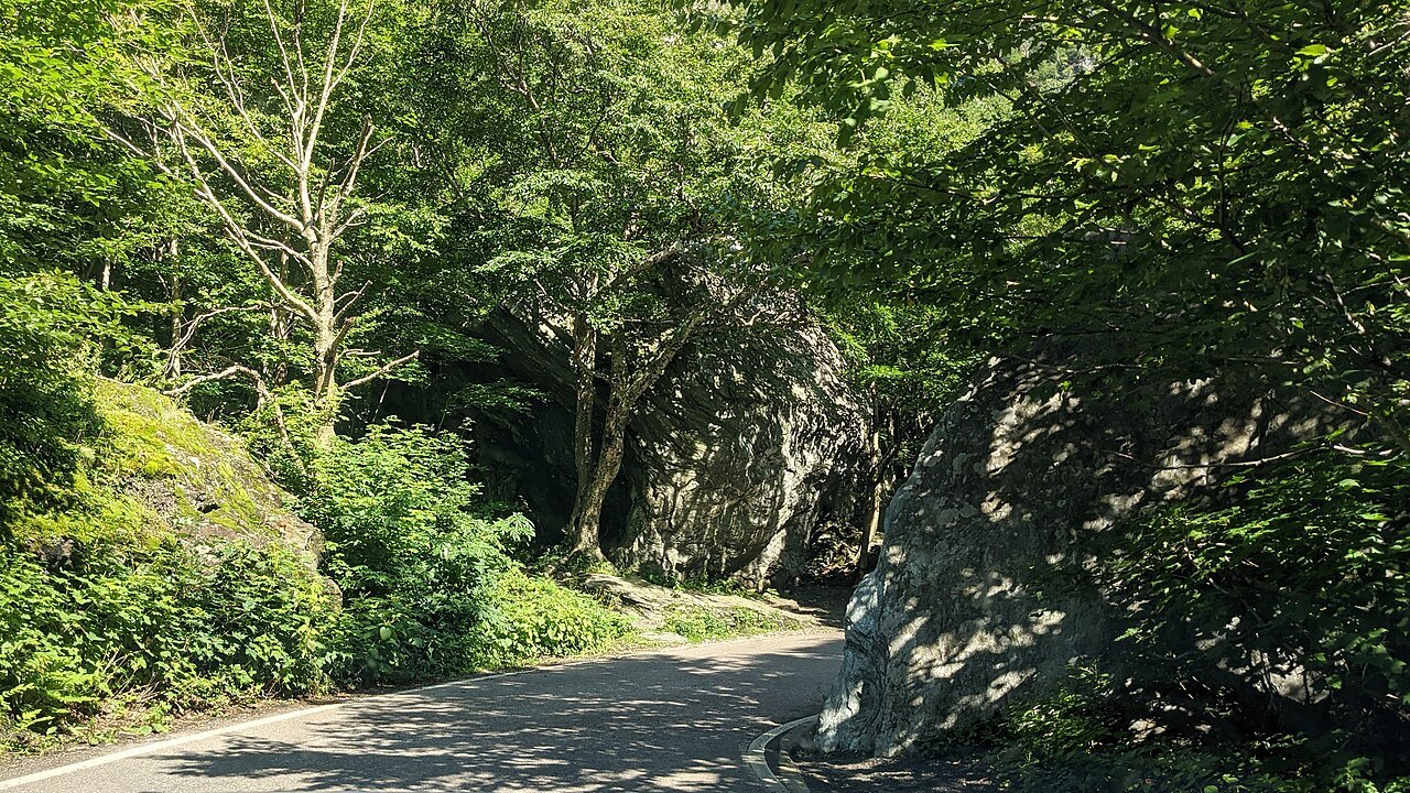
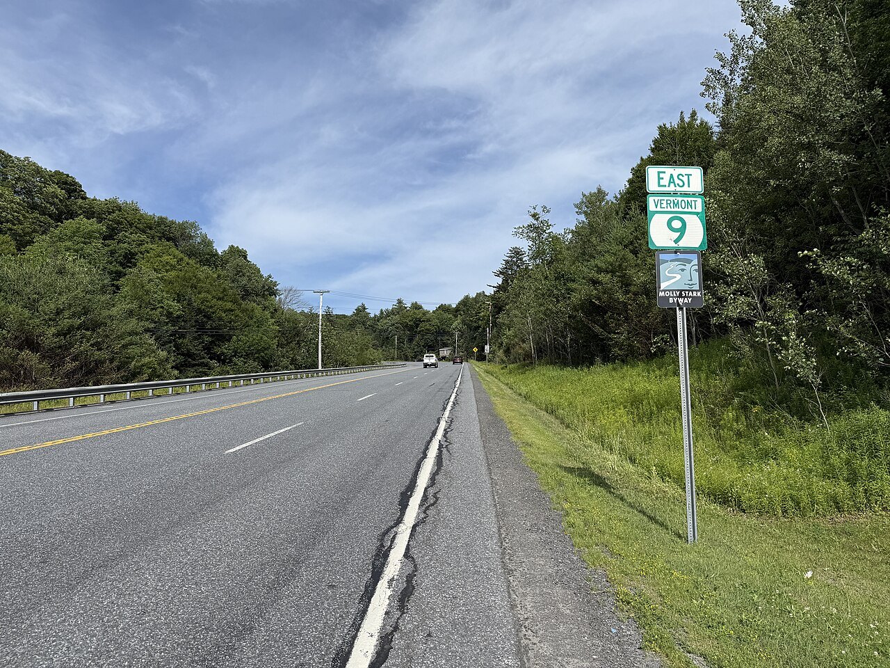
Vermont Route 100 is the longest numbered highway in the state, running 216 miles from the Massachusetts line at Stamford to Newport near the Quebec border. It is a two-lane road for nearly its entire length, following the eastern edge of the Green Mountain National Forest and threading through the Mad River Valley before continuing north toward the Northeast Kingdom.
The road is the spine that the Access Vermont homepage uses to organize the state, because it links so many of the places visitors come for: ski towns, river valleys, covered bridges, and farmland, all reached from one numbered route rather than scattered across a set of unconnected highways across several counties.
Unlike the Interstates, Route 100 was never built as a single through road. It grew out of older local roads linking mill towns and farming villages, which is part of why it curves through village centers rather than bypassing them, and why driving it feels like a tour of the state rather than a transit between two points.
The route crosses several other numbered roads along the way, including U.S. Route 4 near Killington, so a visitor does not have to drive all of it on a single trip; short sections combine easily with east-west roads to build a loop. See scenic drives for routes that use pieces of it.
Through the resort towns
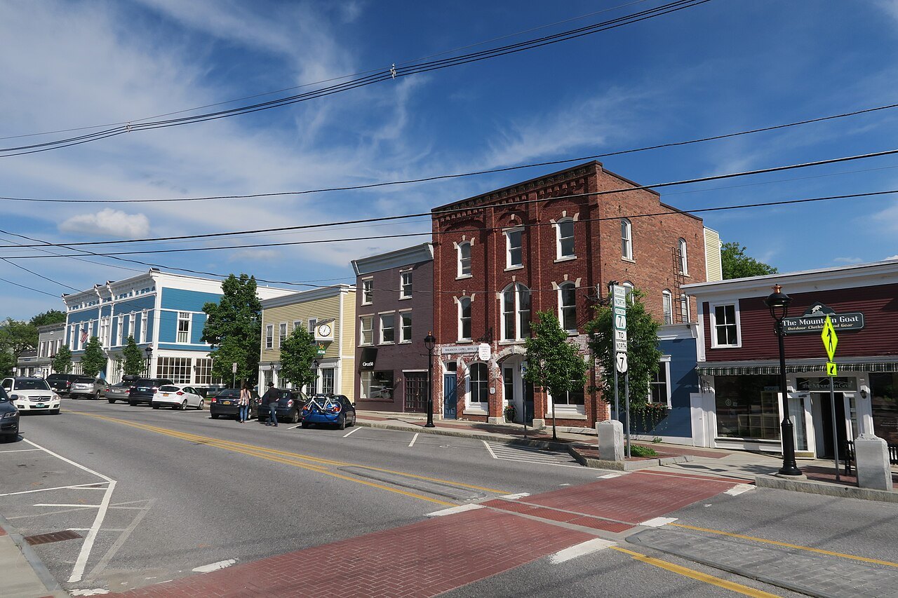
Route 100 functions as the main street for a string of resort towns: Wilmington in the south, then Ludlow, the roads feeding into Killington, Warren in the Mad River Valley, and Stowe farther north. Each town grew up along the highway, so the road passes directly through grocery stores, gas stations, and lodging rather than running past them at a distance.
Because the road serves two of the busiest resort areas in the state, it carries heavy seasonal traffic: skiers in winter, leaf-peepers in fall, and cyclists and festival traffic in summer. A visitor planning a day along Route 100 should expect to share it with local commuters as well as with other travelers heading to the same towns.
The towns along Route 100 are not evenly spaced, and services thin out in the northern stretches between the Mad River Valley and Stowe. Fuel and food can be far apart in these hills, so topping up before leaving a main town is worth doing rather than assuming the next village ahead has what a driver needs.
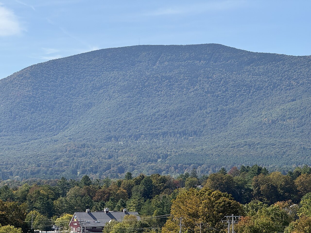
The road runs along the eastern edge of the Green Mountain National Forest for much of its course, which is part of why it offers views of ridgelines rather than open farmland for long stretches; travelers expecting wide valley vistas the whole way will find more forest than field along several of its middle sections.
Driving all of it
Route 100 can be driven end to end, from Stamford to Newport, and nothing in how the road is numbered or maintained makes that impossible. It is a continuous state highway along its whole length, unlike a notch road such as Vermont Route 108, which the state closes by rule for part of the year.
What varies from year to year is condition rather than continuity. The state rebuilt many segments of Route 100 after Tropical Storm Irene in 2011, and flooding or paving work in any later year can mean a short detour or a slow stretch even when the route as a whole remains passable.
A visitor planning to drive the full length should check current road conditions with the state before setting out, particularly after storms, and should not assume a long drive on a two-lane mountain road moves at Interstate speed. Treat the 216 miles as several separate days of travel rather than a single continuous run.
Seasons and construction
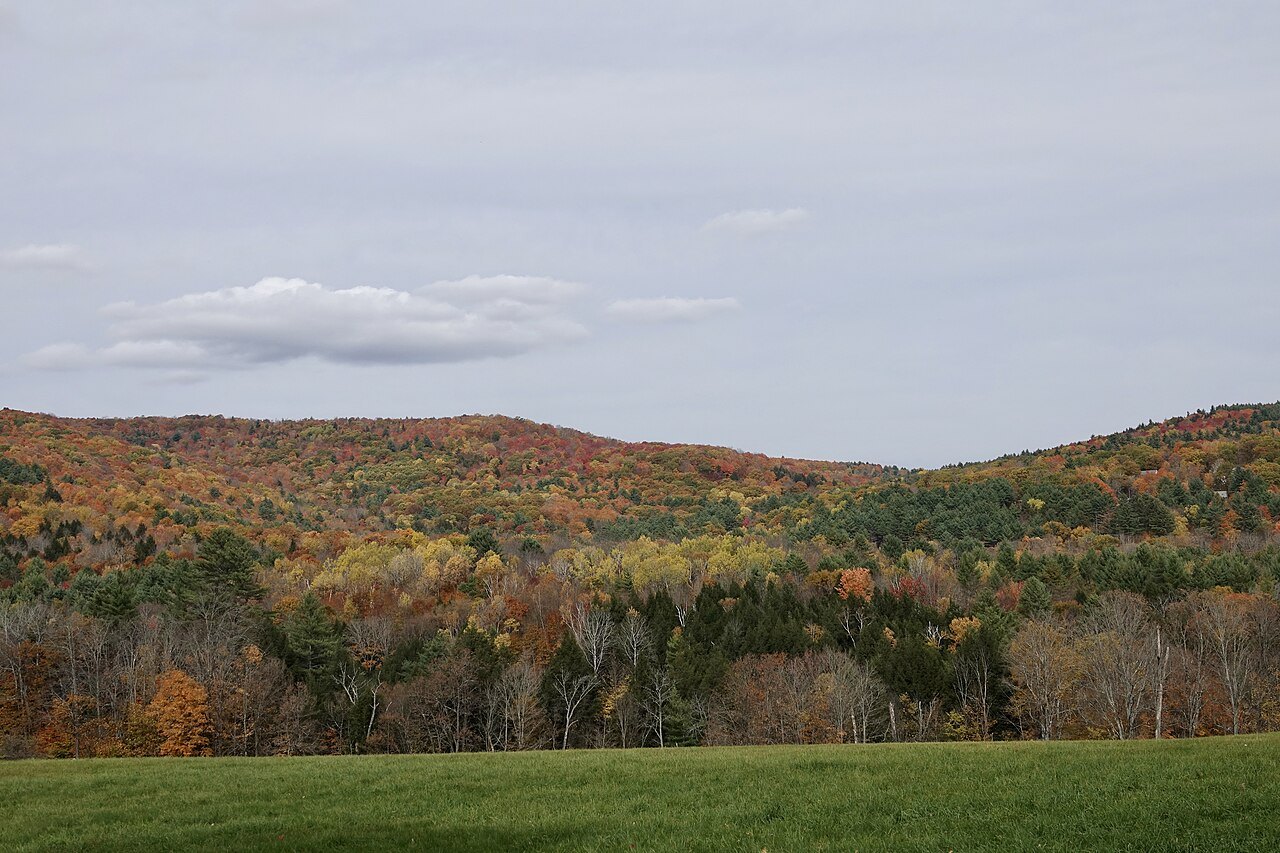
Route 100 is heavily traveled in fall, when the same curves that make it scenic slow traffic to a crawl behind cars stopping for views, and in winter, when ski traffic converges on it from several directions at once. Neither season is a good time to expect fast progress along the road.
Because it runs through hill country rather than along a single river valley, sections of Route 100 can be affected by weather that does not reach the Interstates at the same time. Checking the state's road information before relying on the route, especially in the shoulder seasons of spring and late fall, is worth the few minutes it takes.
A road in good condition one year may have construction the next; this is ordinary for a rural highway through mountain terrain, and it is one more reason to allow extra time rather than plan a tight schedule around the route. For the broader picture of how fall travel affects Vermont's roads, see the seasonal guide elsewhere in this guide.
None of this means the road should be avoided; it means building slack into a schedule. A visitor who plans an extra hour for a notionally short drive on Route 100 rarely regrets it, while one who plans the trip to the minute often arrives behind schedule at the next stop.
Planning a day or more on Route 100
The itineraries built elsewhere in this guide use driving times visitors actually meet on roads like this one, rather than straight-line distance, and Route 100 is a good example of why: a forty-mile stretch can take considerably longer than the same distance would on an Interstate highway running between two towns.
A visitor with limited time is better served by choosing one section of Route 100, such as the Mad River Valley or the stretch north of Killington toward Stowe, and exploring it thoroughly, rather than trying to drive the whole route in a single day alongside sightseeing stops along the way.
For a visitor with more than a single day available, combining Route 100 with a connecting east-west road, such as U.S. Route 4 near Killington, turns what would otherwise be a long out-and-back drive into a loop that covers more ground without retracing the same stretch of highway twice unnecessarily.
Because the road passes through so many small villages, parking is usually along the main street rather than in a large lot; a visitor stopping often should expect to look for on-street parking in each village center, and this is worth remembering in villages that fill up during foliage season.
Fitting Route 100 into the rest of the network
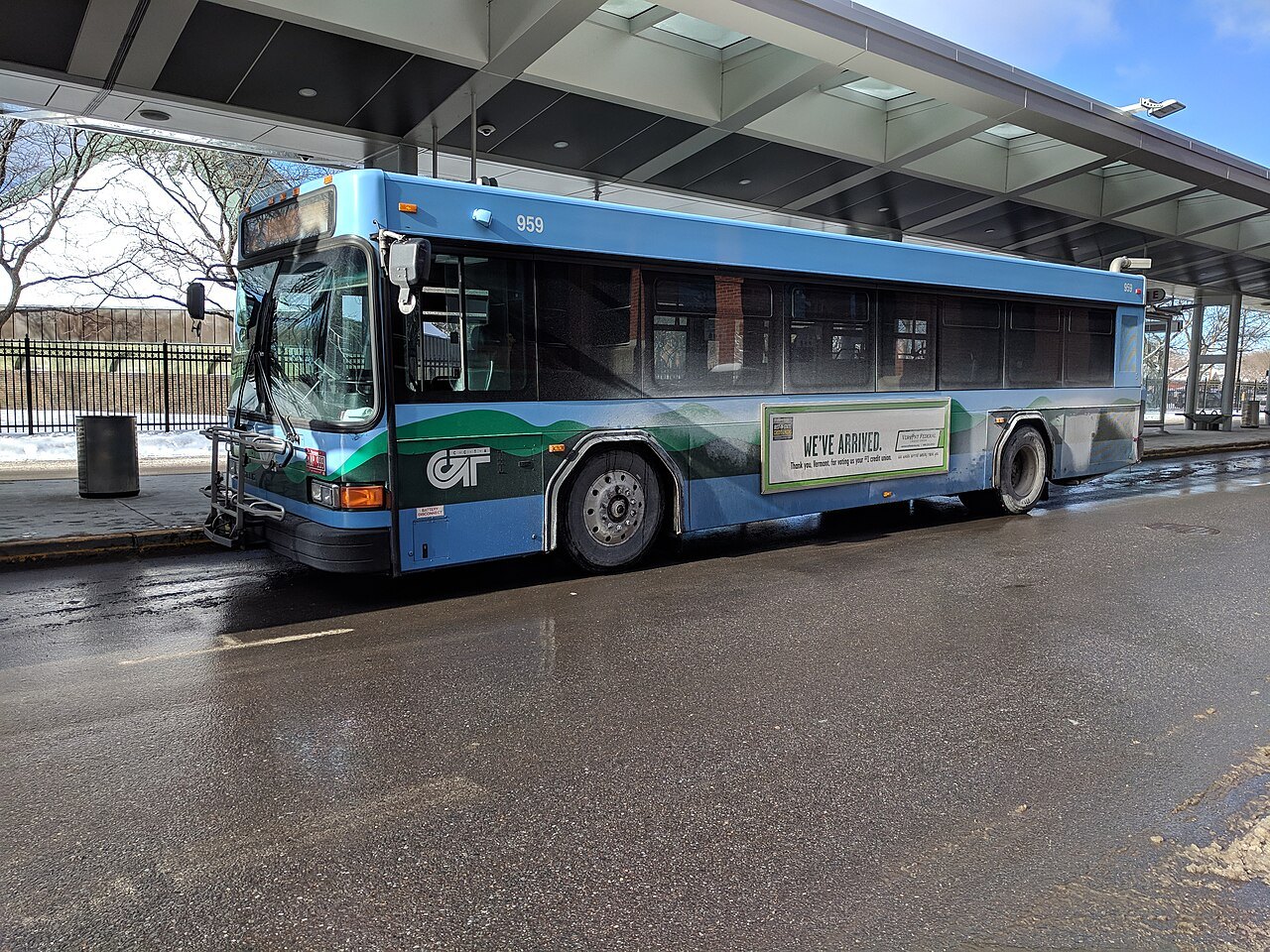
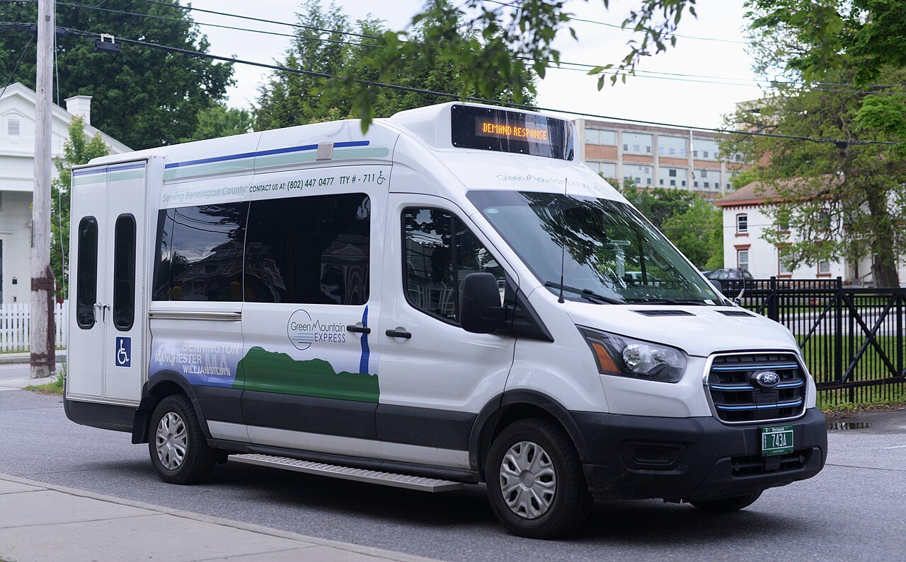
Route 100 is a driving road, not a transit corridor; the bus and shuttle services covered elsewhere in this guide mostly serve Chittenden and Washington Counties and the Northeast Kingdom rather than the full length of Route 100, so a visitor without a car should not expect to travel the route by bus.
Visitors staying in Stowe or Killington can combine a short section of Route 100 with the mountain shuttle services that serve those resorts directly, but covering real distance along the highway, from one end to the other, requires a car rather than a bus timetable built around a single town.
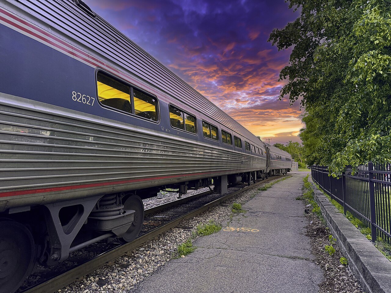
For a visitor arriving by train or bus from outside the state, the practical plan is to arrange a rental car near the arrival point, as described in the getting-here section of this guide, and use Route 100 as a spine for day trips rather than as a single route driven end to end in one sitting.